Las Animas is the statutory city that is the county seat, the most populous community, and the only incorporated municipality in Bent County, Colorado, United States. The city population was 2,300 at the 2020 United States Census. Las Animas is located on the Arkansas River, just west of its confluence with the Purgatoire River (or “Purgatory River”), in southeast Colorado east of Pueblo, near the historic Bent’s Fort.
| Name: | Las Animas city |
|---|---|
| LSAD Code: | 25 |
| LSAD Description: | city (suffix) |
| State: | Colorado |
| County: | Bent County |
| Incorporated: | May 15, 1886 |
| Elevation: | 3,898 ft (1,188 m) |
| Total Area: | 1.67 sq mi (4.33 km²) |
| Land Area: | 1.63 sq mi (4.21 km²) |
| Water Area: | 0.05 sq mi (0.12 km²) |
| Total Population: | 2,300 |
| Population Density: | 1,400/sq mi (530/km²) |
| ZIP code: | 81054 |
| Area code: | 719 |
| FIPS code: | 0843660 |
| GNISfeature ID: | 0195526 |
| Website: | www.colorado.gov/cityoflasanimas |
Online Interactive Map
Click on ![]() to view map in "full screen" mode.
to view map in "full screen" mode.
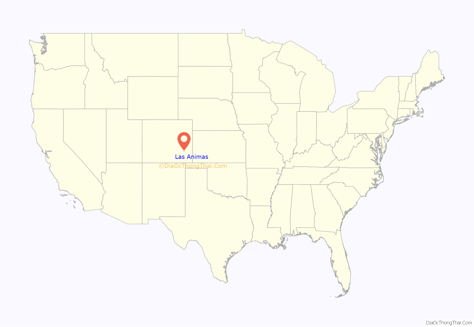
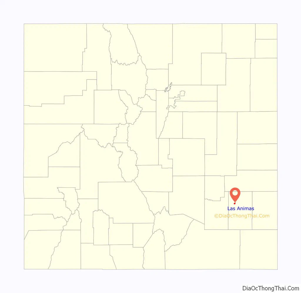
Las Animas location map. Where is Las Animas city?
History
Early settlement
Gantt’s Picket Post, also known as Fort Gantt, was built near the present-day Las Animas in 1832, operating as a trading post until 1834. The second Fort Lyon military post was built in Las Animas in 1867. It operated until 1897.
Water issues
Water is a central issue in Las Animas. Like many cities in southeastern Colorado, Las Animas competes with wealthier cities on the Front Range for the water to sustain life and the local agricultural economy. Developers and municipalities have capitalized upon drought and low crop prices by buying water from desperate farmers. As this water is diverted upstream to serve the larger cities, Las Animas loses access to this important resource.
Because of the poor quality of the city’s water supply, a reverse-osmosis filtration plant was installed in the mid-1990s. The loss of minerals in the water resulted in the collapse of many water mains, which had been supported by mineral deposits that formed on the insides of the pipes.
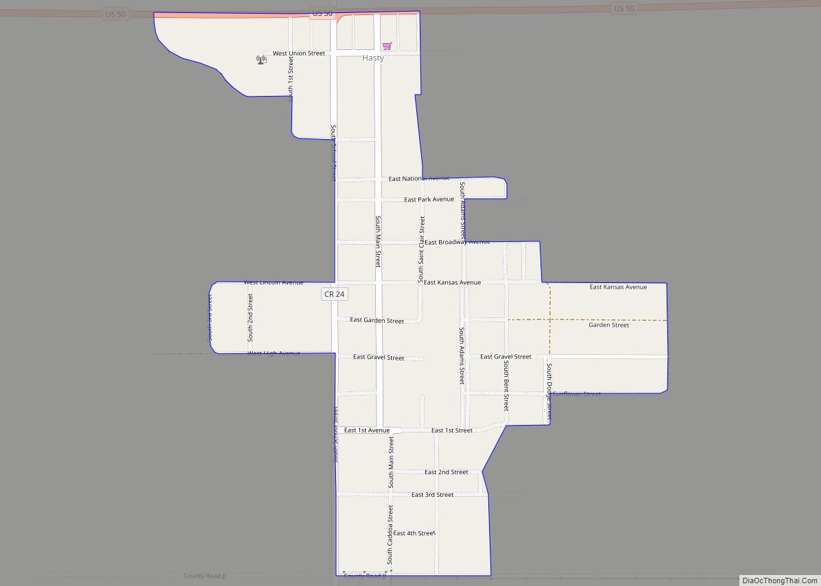
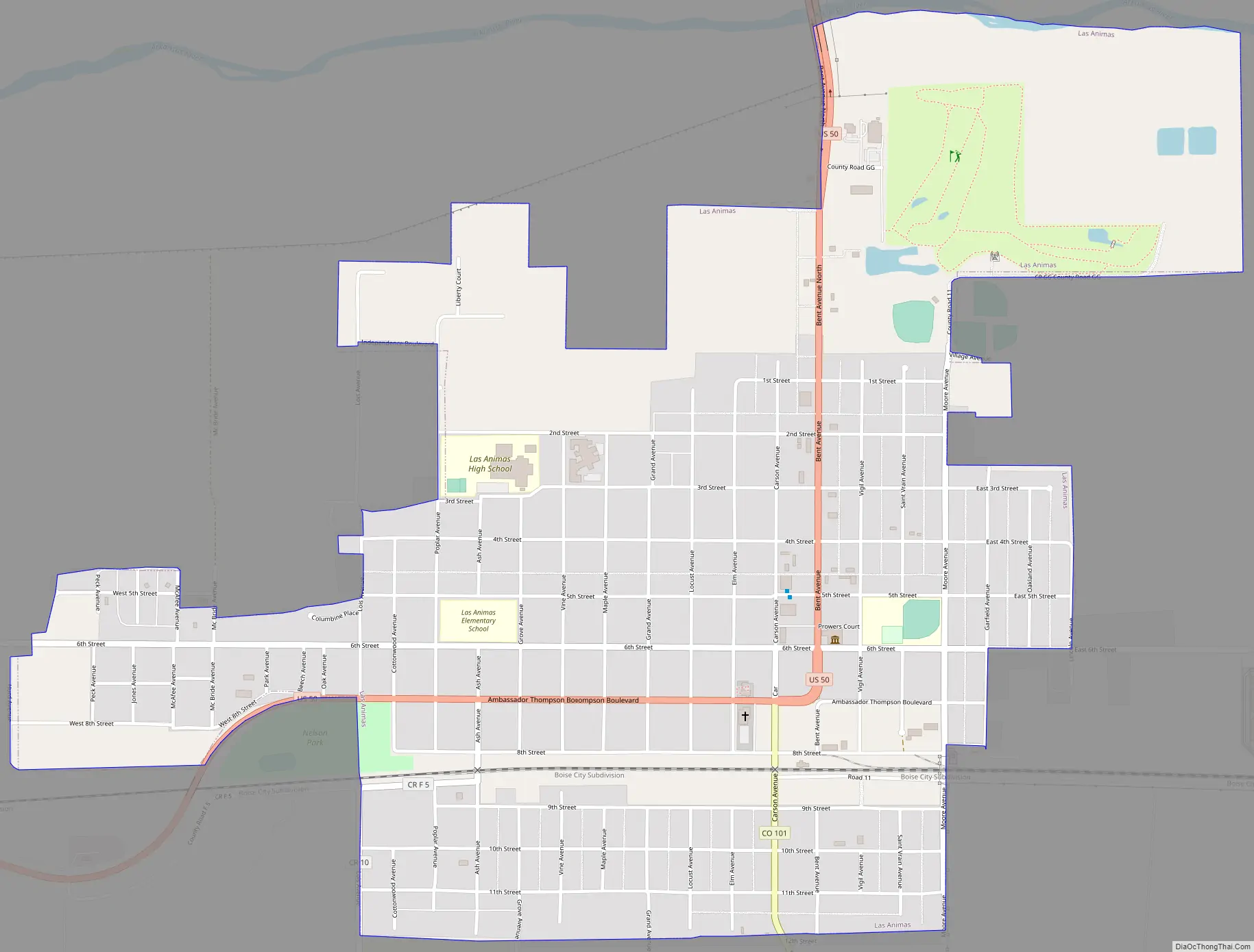
Las Animas Road Map
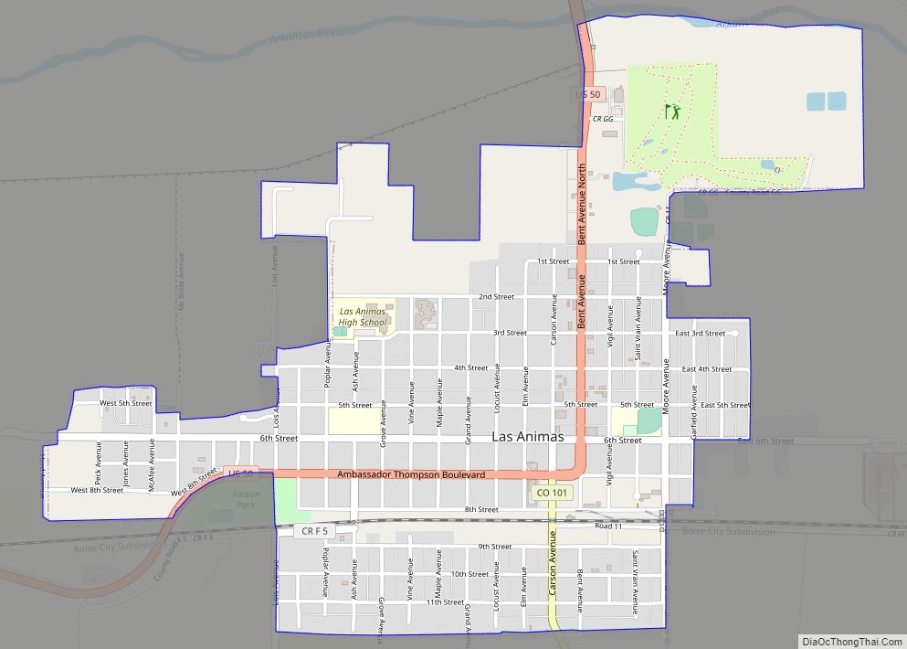
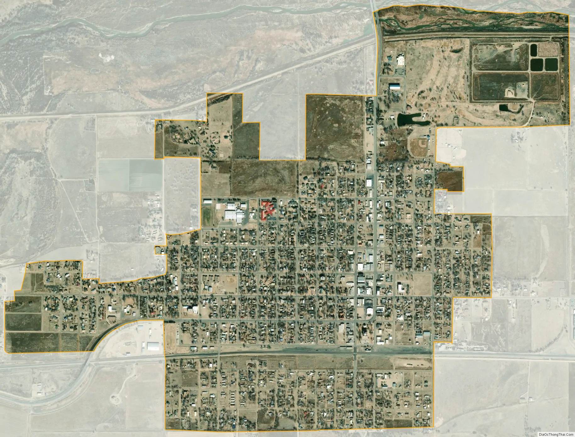
Las Animas city Satellite Map
Geography
Las Animas is located in northwest Bent County at 38°4′1″N 103°13′33″W / 38.06694°N 103.22583°W / 38.06694; -103.22583 (38.066980, -103.225937), along the Arkansas River. U.S. Highway 50 is the main highway through the city, leading west 82 miles (132 km) to Pueblo and east 36 miles (58 km) to Lamar.
According to the United States Census Bureau, the city has a total area of 1.7 square miles (4.3 km), of which 1.6 square miles (4.2 km) is land and 0.039 square miles (0.1 km), or 2.75%, is water.
Climate
Las Animas is often one of the warmest cities in Colorado, however winters can still be quite cold. The record low temperature in Las Animas of −32 °F (−35.6 °C) occurred most recently on January 28, 1948. The record high temperature for Las Animas is 114 °F (45.6 °C) and occurred most recently on June 24, 2012. Each year there are roughly 83 afternoons that hit 90 °F (32.2 °C) or hotter, with 22 reaching at least 100 °F or 37.8 °C. The record for lowest maximum temperature was on December 20, 1924, when the high was −8 °F (−22.2 °C). On the other end of the spectrum, Las Animas’ hottest minimum temperature occurred August 2, 1935, with a low of 89 °F (31.7 °C).
See also
Map of Colorado State and its subdivision:- Adams
- Alamosa
- Arapahoe
- Archuleta
- Baca
- Bent
- Boulder
- Broomfield
- Chaffee
- Cheyenne
- Clear Creek
- Conejos
- Costilla
- Crowley
- Custer
- Delta
- Denver
- Dolores
- Douglas
- Eagle
- El Paso
- Elbert
- Fremont
- Garfield
- Gilpin
- Grand
- Gunnison
- Hinsdale
- Huerfano
- Jackson
- Jefferson
- Kiowa
- Kit Carson
- La Plata
- Lake
- Larimer
- Las Animas
- Lincoln
- Logan
- Mesa
- Mineral
- Moffat
- Montezuma
- Montrose
- Morgan
- Otero
- Ouray
- Park
- Phillips
- Pitkin
- Prowers
- Pueblo
- Rio Blanco
- Rio Grande
- Routt
- Saguache
- San Juan
- San Miguel
- Sedgwick
- Summit
- Teller
- Washington
- Weld
- Yuma
- Alabama
- Alaska
- Arizona
- Arkansas
- California
- Colorado
- Connecticut
- Delaware
- District of Columbia
- Florida
- Georgia
- Hawaii
- Idaho
- Illinois
- Indiana
- Iowa
- Kansas
- Kentucky
- Louisiana
- Maine
- Maryland
- Massachusetts
- Michigan
- Minnesota
- Mississippi
- Missouri
- Montana
- Nebraska
- Nevada
- New Hampshire
- New Jersey
- New Mexico
- New York
- North Carolina
- North Dakota
- Ohio
- Oklahoma
- Oregon
- Pennsylvania
- Rhode Island
- South Carolina
- South Dakota
- Tennessee
- Texas
- Utah
- Vermont
- Virginia
- Washington
- West Virginia
- Wisconsin
- Wyoming