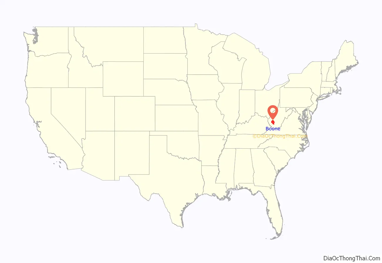
Boone County is a county in the U.S. state of West Virginia. As of the 2020 census, the population was 21,809. Its county seat is Madison. Boone County is part of the Charleston, WV Metropolitan Statistical Area. Leading industries and chief agricultural products in Boone County include coal, lumber, natural gas, tobacco, and strawberries.
| Name: | Boone County |
|---|---|
| FIPS code: | 54-005 |
| State: | West Virginia |
| Founded: | March 11 |
| Named for: | Daniel Boone |
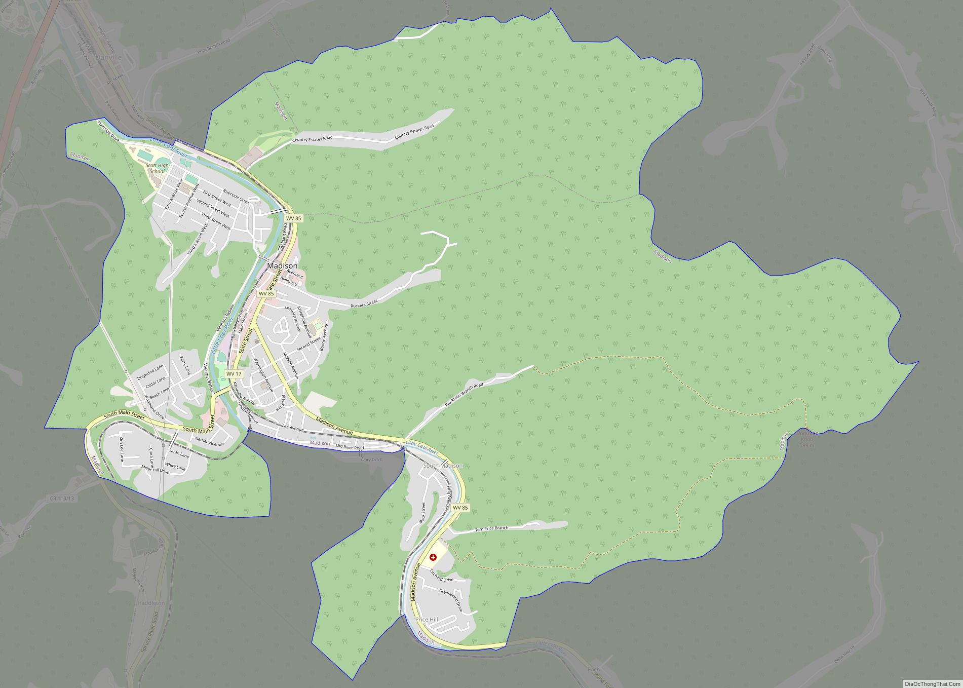
| Seat: | Madison |
| Largest city: | Madison |
| Total Area: | 503.19 sq mi (1,303.3 km²) |
| Land Area: | 501.53 sq mi (1,299.0 km²) |
| Total Population: | 21,809 |
| Population Density: | 43.48/sq mi (16.79/km²) |
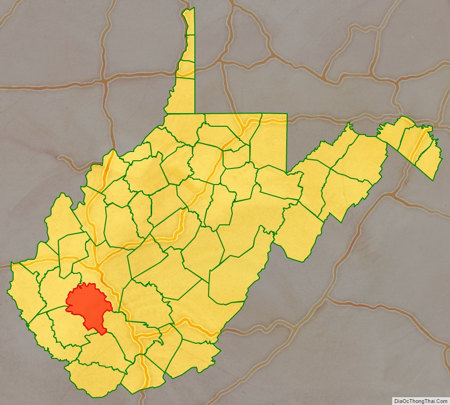
Boone County location map. Where is Boone County?
History
The county was formed in 1847 with territories annexed from Kanawha, Cabell, and Logan counties. It was named for frontiersman Daniel Boone, who lived in the Great Kanawha Valley from 1789 until 1795.
In 1863, West Virginia’s counties were divided into civil townships, with the intention of encouraging local government. This proved impractical in the heavily rural state, and in 1872 the townships were converted into magisterial districts. Boone County was divided into five districts: Crook, Peytona, Scott, Sherman, and Washington. Between 1980 and 1990, the county was redivided into three magisterial districts: District 1, District 2, and District 3.
On February 1, 2006, two fatal mining accidents occurred in the communities of Uneeda and Wharton in Boone County. These two deaths with the addition of January’s Sago Mine disaster and the Aracoma Alma Mine disaster caused West Virginia Governor Joe Manchin to close all of West Virginia’s mines in a “mine safety stand-down.”
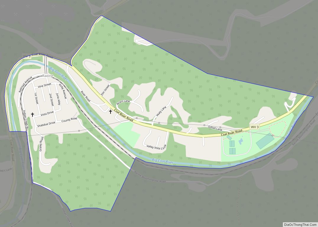
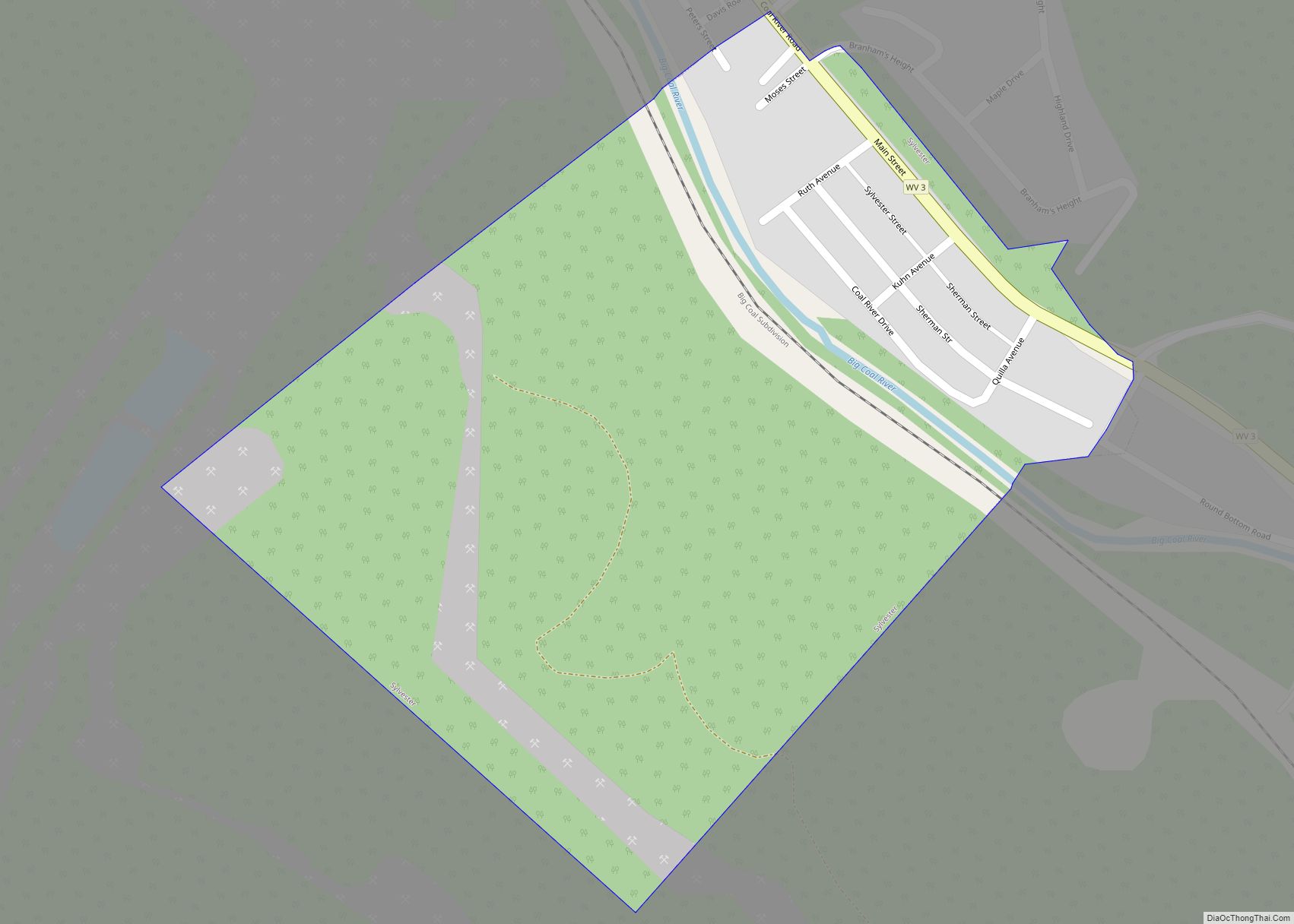
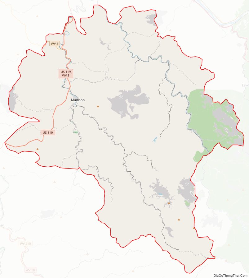
Boone County Road Map
Geography
Boone County lies in the central southwestern part of West Virginia. Its terrain consists of low wooded mountains, carved with drainages. The terrain slopes to the north and west, with its highest point at its south corner, at 3,212′ (979m) ASL. The county has a total area of 503 square miles (1,300 km), of which 502 square miles (1,300 km) is land and 1.7 square miles (4.4 km) (0.3%) is water.
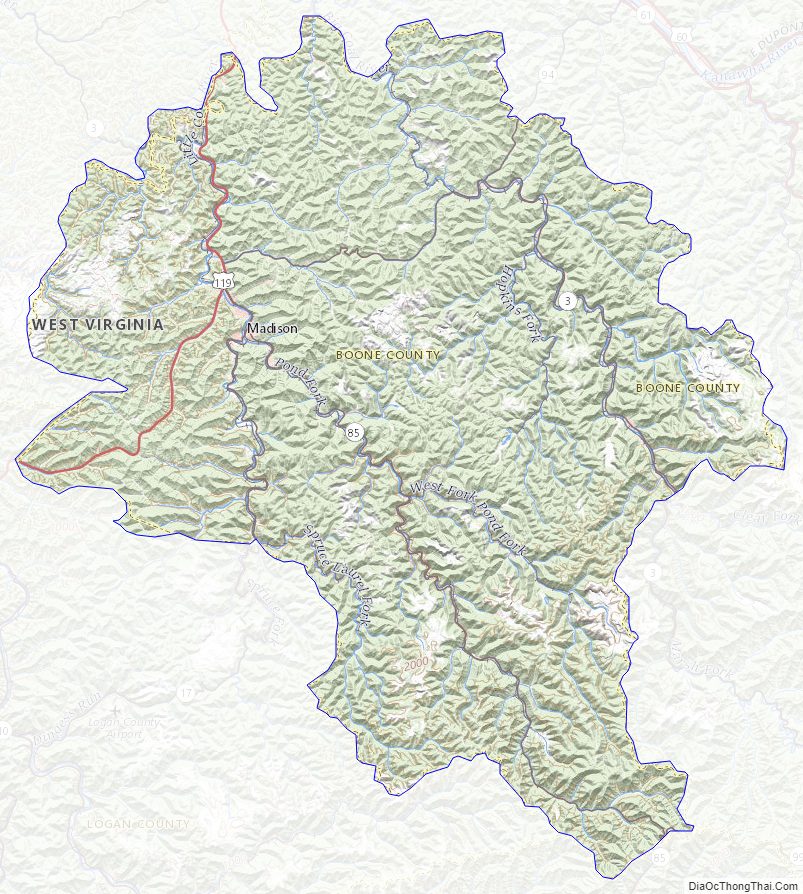
Boone County Topographic Map
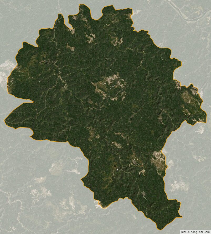
Boone County Satellite Map
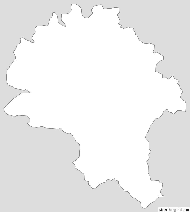
Boone County Outline Map