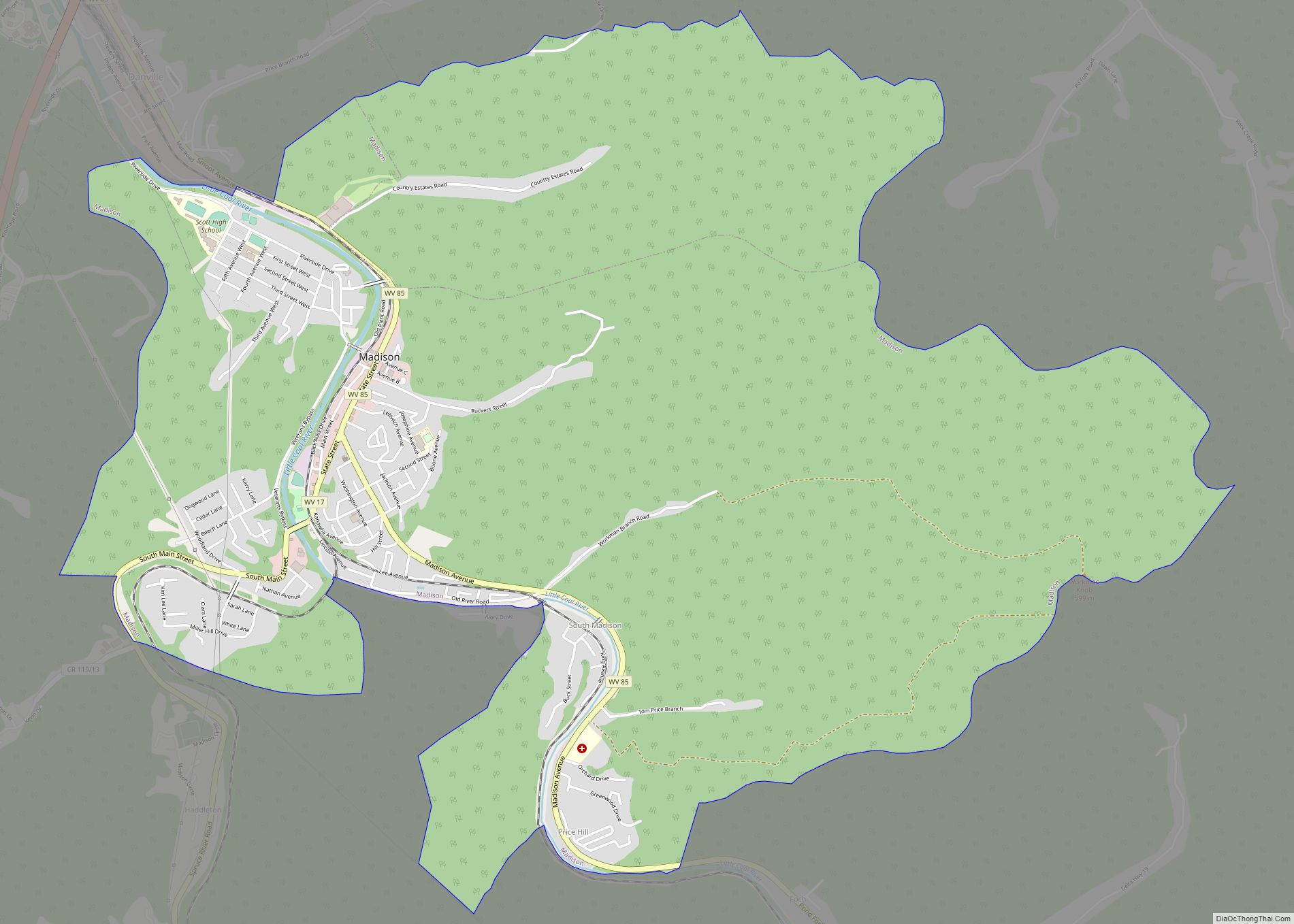
Madison is a city and former coal town in Boone County, West Virginia, United States. The population was 2,911 at the 2020 census. It is the county seat of Boone County.
| Name: | Madison city |
|---|---|
| LSAD Code: | 25 |
| LSAD Description: | city (suffix) |
| State: | West Virginia |
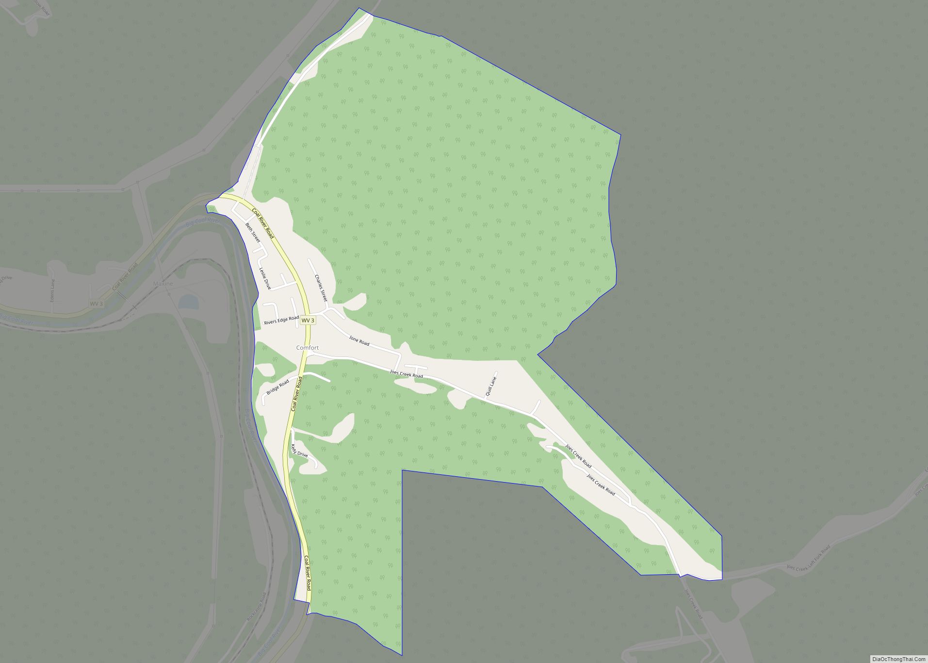
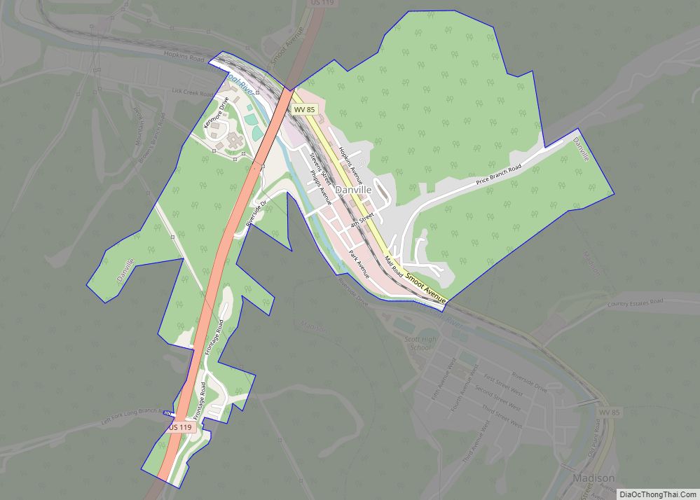
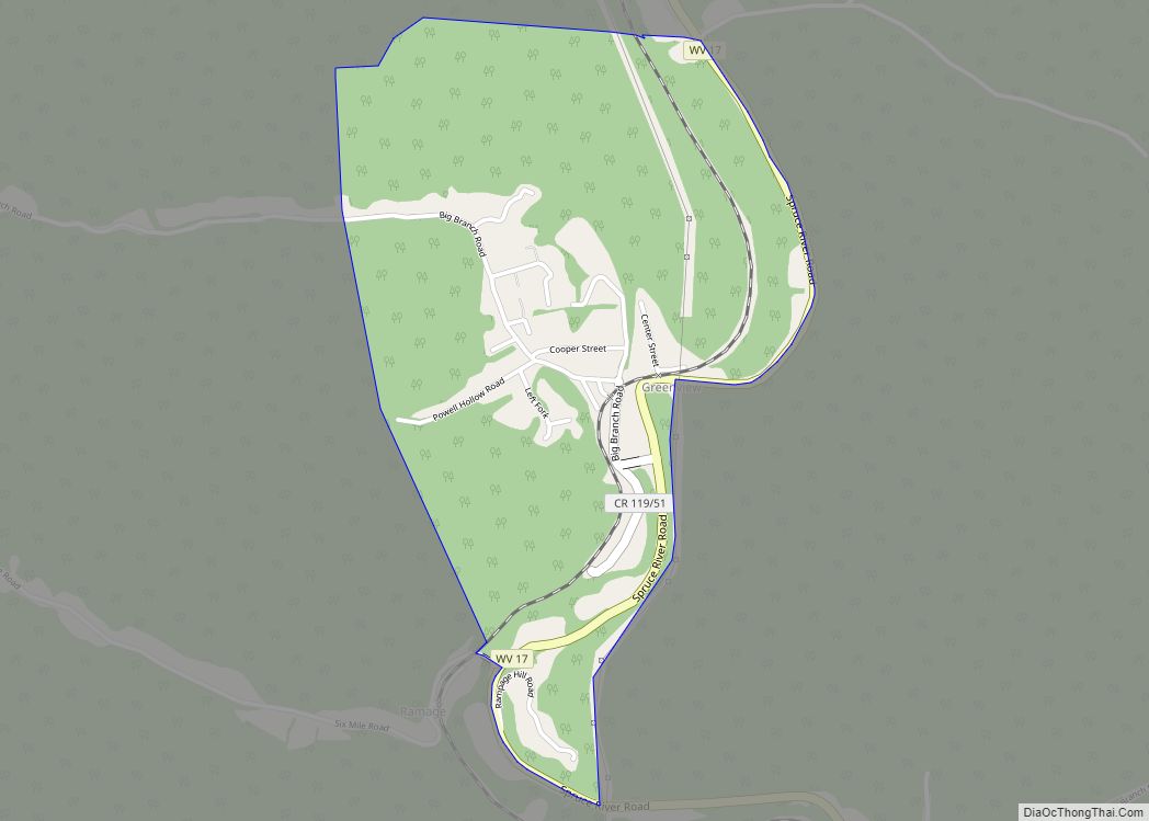
| County: | Boone County |
| Elevation: | 702 ft (214 m) |
| Total Area: | 7.06 sq mi (18.29 km²) |
| Land Area: | 7.01 sq mi (18.14 km²) |
| Water Area: | 0.06 sq mi (0.15 km²) |
| Total Population: | 2,911 |
| Population Density: | 381.53/sq mi (147.32/km²) |
| ZIP code: | 25130 |
| Area code: | 304 |
| FIPS code: | 5450524 |
| GNISfeature ID: | 1542678 |
| Website: | local.wv.gov/madison |
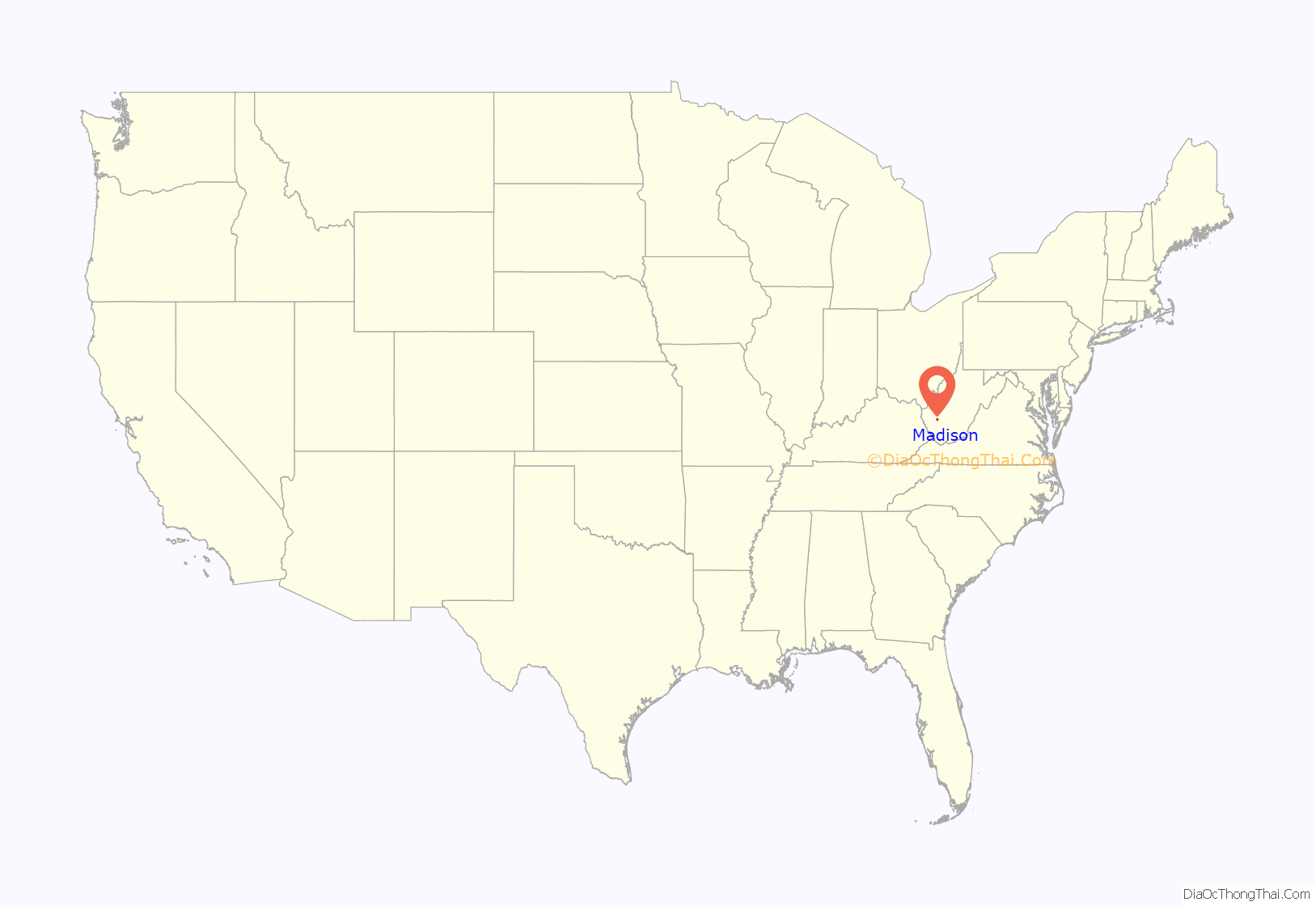
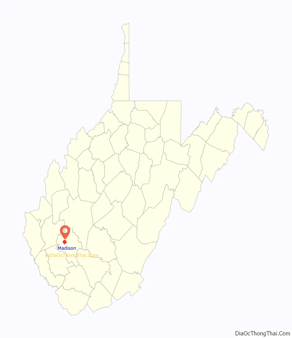
Online Interactive Map
Click on ![]() to view map in "full screen" mode.
to view map in "full screen" mode.
Madison location map. Where is Madison city?
History
Madison was first established as Boone Court House. The town was renamed circa 1865, presumably for James Madison, the fourth president of the United States. Other theories hold that it was named for lawyer James Madison Laidley or for William Madison Peyton, a pioneer coal operator, who was a leader in the movement which resulted in the formation of Boone County and for whom Peytona on Big Coal River was also named. Madison was incorporated in 1906.
The first courthouse at Madison, a log structure, was burned by Union troops early in the Civil War. The second courthouse, made of local brick, served until 1913, and a frame building was used by county officials for the next several years. The present Boone County Courthouse, occupied in 1921, is listed on the National Register of Historic Places.
Madison is the “Gateway to the Coalfields,” as it is located on a principal route through the southern coalfields. It occupied a strategic place during the Mine Wars. Miners twice rallied at the town ballpark in August 1921, to consider whether to continue their march to neighboring Logan and Mingo counties. Thousands of armed marchers passed through the town and surrounding region on their way to and from the fighting at Blair Mountain, which is located up Spruce Fork from Madison.
In addition to the Boone County Courthouse, the Madison National Bank building is listed on the National Register of Historic Places.
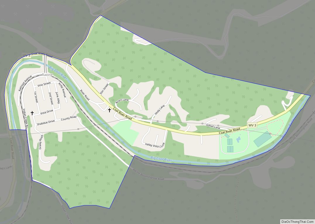
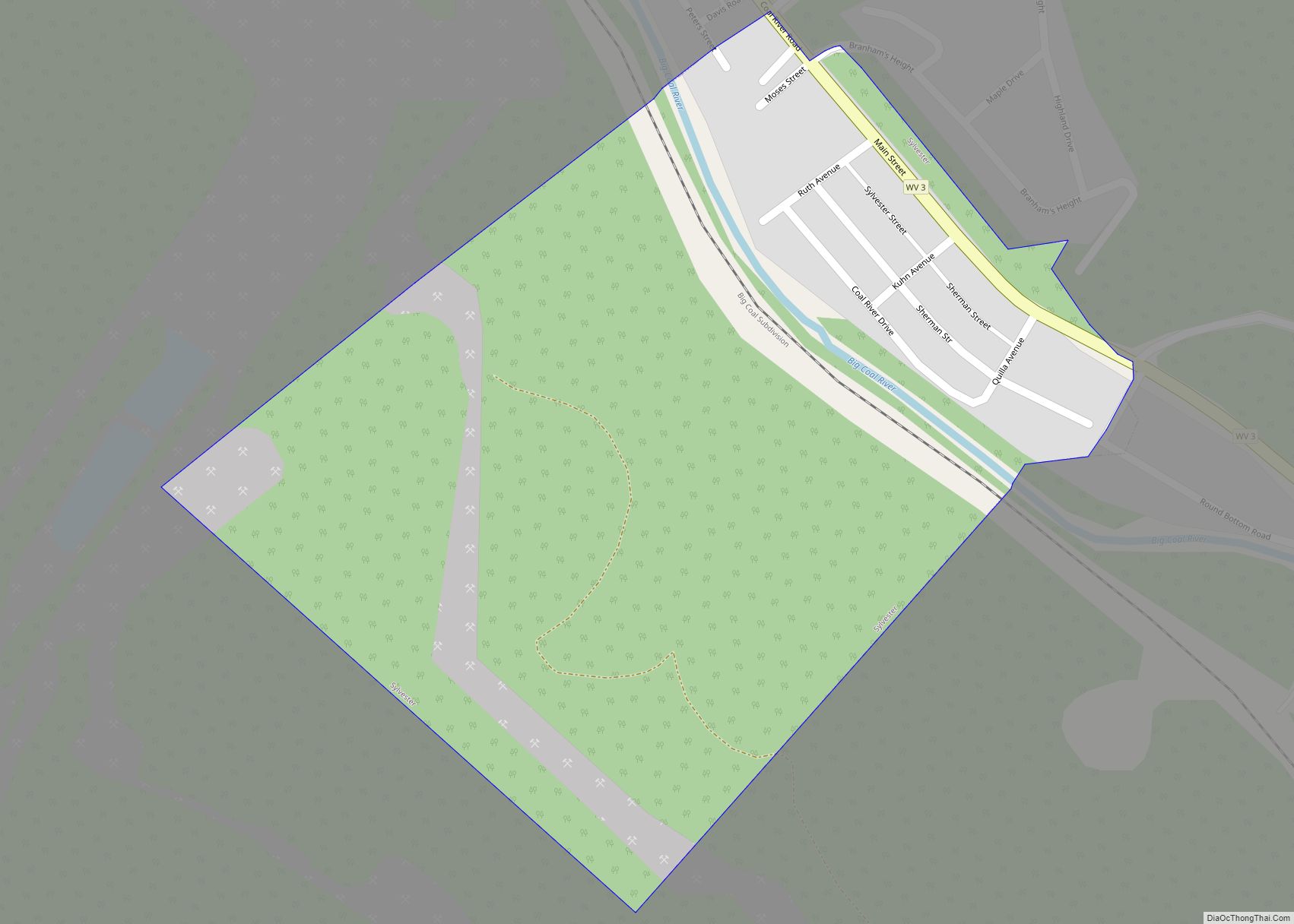
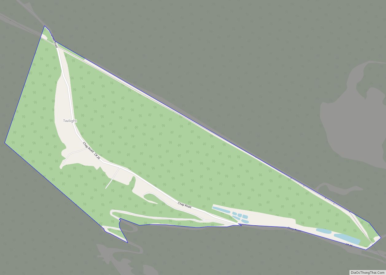
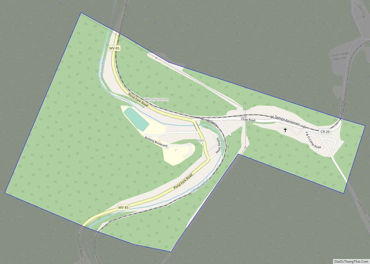
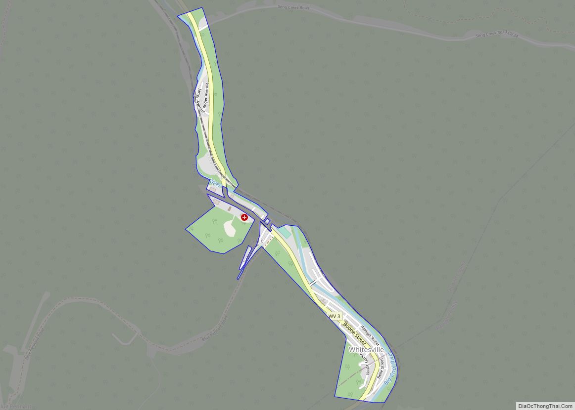
Madison Road Map
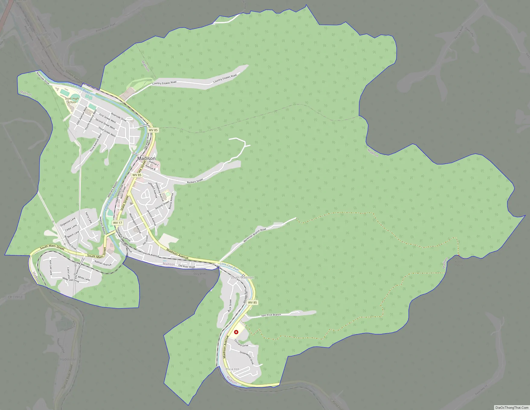
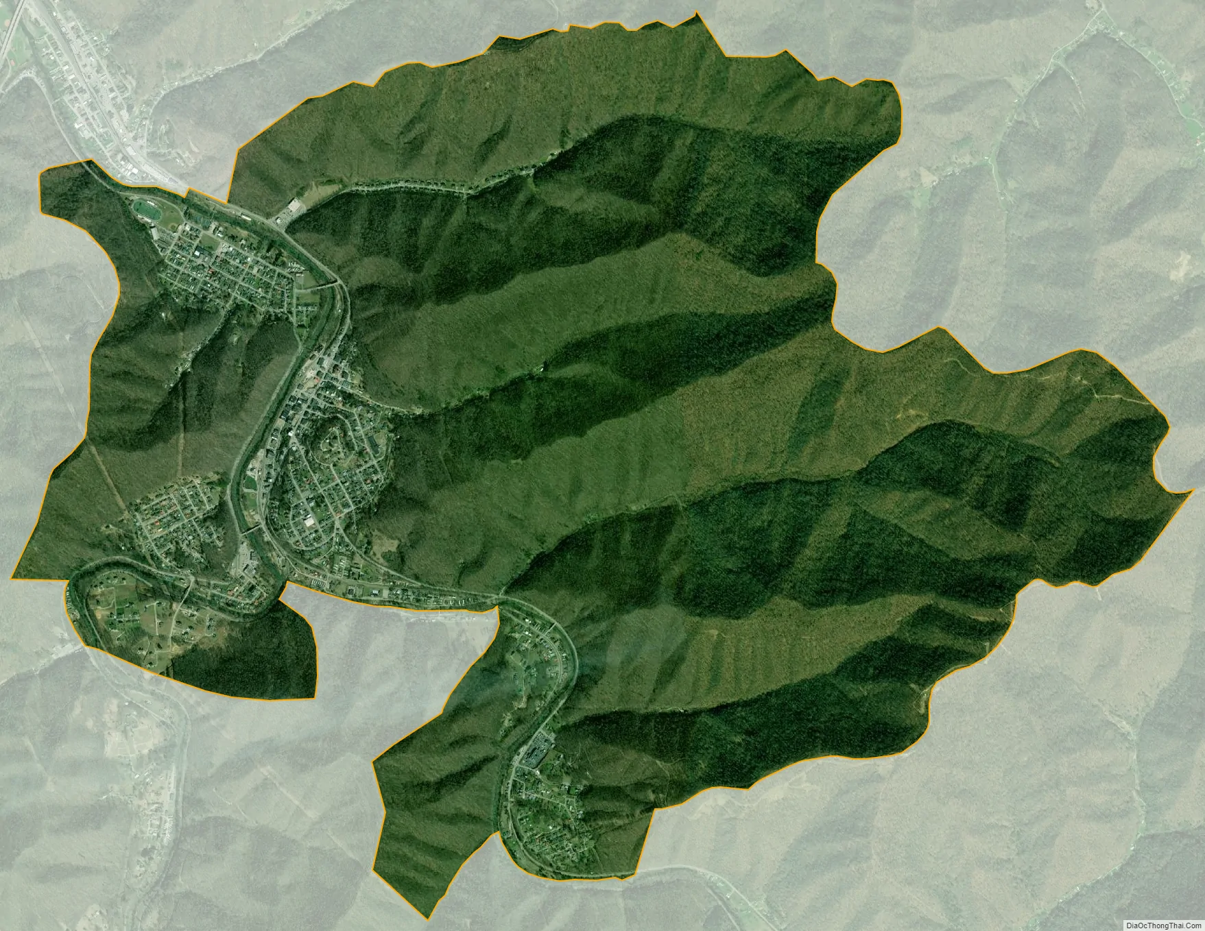
Madison city Satellite Map
Geography
Madison is located at 38°3′43″N 81°49′6″W / 38.06194°N 81.81833°W / 38.06194; -81.81833 (38.061816, -81.818216). The Little Coal River is formed at Madison by the confluence of its Spruce Fork and its Pond Fork.
According to the United States Census Bureau, the city has a total area of 7.07 square miles (18.31 km), of which 7.01 square miles (18.16 km) is land and 0.06 square miles (0.16 km) is water.
See also
Map of West Virginia State and its subdivision:- Barbour
- Berkeley
- Boone
- Braxton
- Brooke
- Cabell
- Calhoun
- Clay
- Doddridge
- Fayette
- Gilmer
- Grant
- Greenbrier
- Hampshire
- Hancock
- Hardy
- Harrison
- Jackson
- Jefferson
- Kanawha
- Lewis
- Lincoln
- Logan
- Marion
- Marshall
- Mason
- McDowell
- Mercer
- Mineral
- Mingo
- Monongalia
- Monroe
- Morgan
- Nicholas
- Ohio
- Pendleton
- Pleasants
- Pocahontas
- Preston
- Putnam
- Raleigh
- Randolph
- Ritchie
- Roane
- Summers
- Taylor
- Tucker
- Tyler
- Upshur
- Wayne
- Webster
- Wetzel
- Wirt
- Wood
- Wyoming
- Alabama
- Alaska
- Arizona
- Arkansas
- California
- Colorado
- Connecticut
- Delaware
- District of Columbia
- Florida
- Georgia
- Hawaii
- Idaho
- Illinois
- Indiana
- Iowa
- Kansas
- Kentucky
- Louisiana
- Maine
- Maryland
- Massachusetts
- Michigan
- Minnesota
- Mississippi
- Missouri
- Montana
- Nebraska
- Nevada
- New Hampshire
- New Jersey
- New Mexico
- New York
- North Carolina
- North Dakota
- Ohio
- Oklahoma
- Oregon
- Pennsylvania
- Rhode Island
- South Carolina
- South Dakota
- Tennessee
- Texas
- Utah
- Vermont
- Virginia
- Washington
- West Virginia
- Wisconsin
- Wyoming