Braxton County is a county in the central part of the U.S. state of West Virginia. As of the 2020 census, the population was 12,447. The county seat is Sutton. The county was formed in 1836 from parts of Lewis, Kanawha, and Nicholas counties and named for Carter Braxton, a Virginia statesman and signer of the Declaration of Independence.
In 2010, the center of population of West Virginia was in northern Braxton County.
Important salt works were located at Bulltown and here, in 1772, Captain Bull and his family and friendly Delaware Indians were massacred by frontiersmen. Jesse Hughes helped Jeremiah Carpenter track and kill the Indians responsible for the Carpenter massacre. Jeremiah was a notable fiddle player who wrote a song Shelvin’ Rock about the experience of escaping to rock shelter.
| Name: | Braxton County |
|---|---|
| FIPS code: | 54-007 |
| State: | West Virginia |
| Founded: | January 15, 1836 |
| Named for: | Carter Braxton |
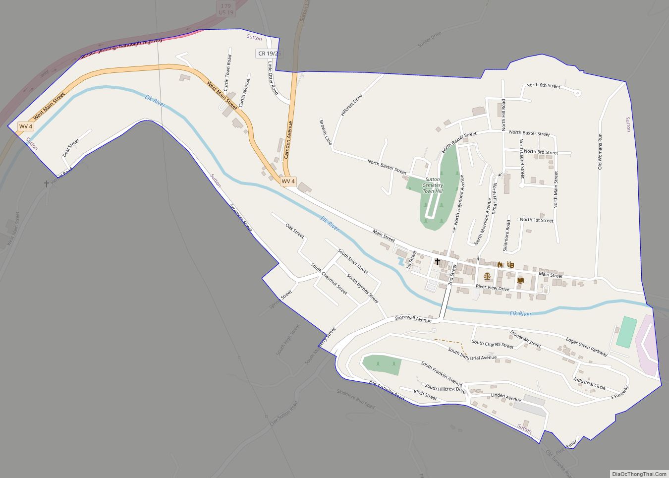
| Seat: | Sutton |
| Largest town: | Sutton |
| Total Area: | 516.28 sq mi (1,337.2 km²) |
| Land Area: | 510.74 sq mi (1,322.8 km²) |
| Total Population: | 12,447 |
| Population Density: | 24.37/sq mi (9.41/km²) |
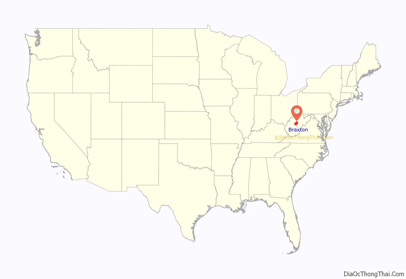
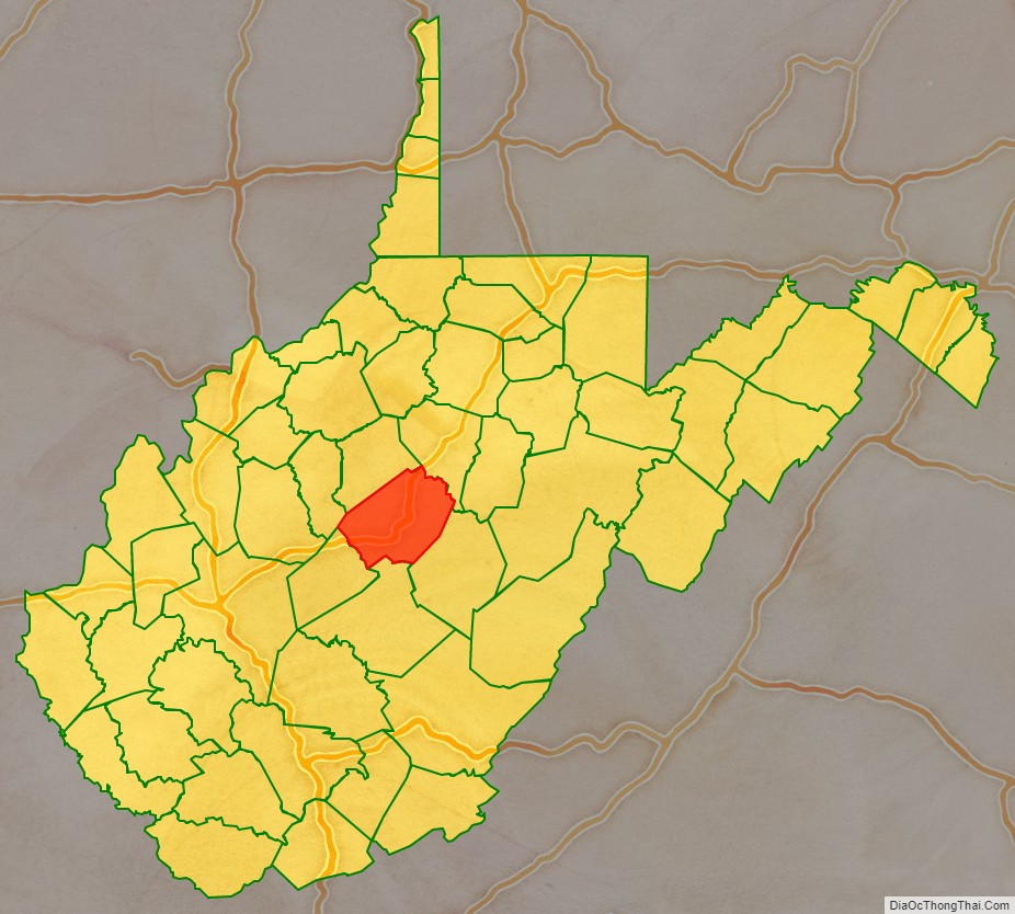
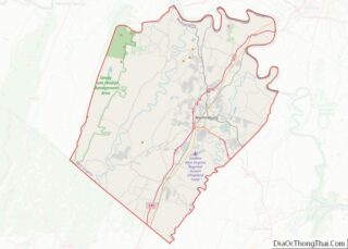
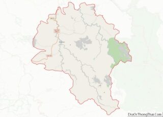
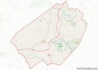
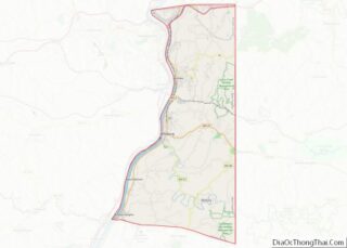
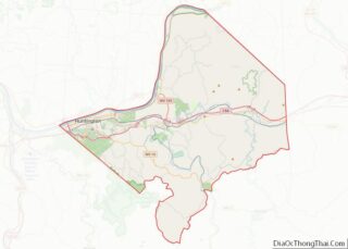
Braxton County location map. Where is Braxton County?
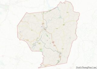
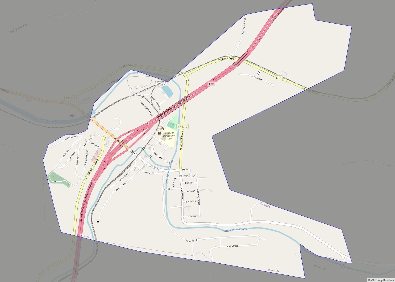
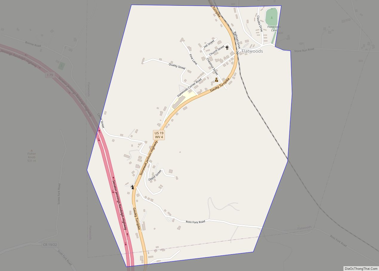
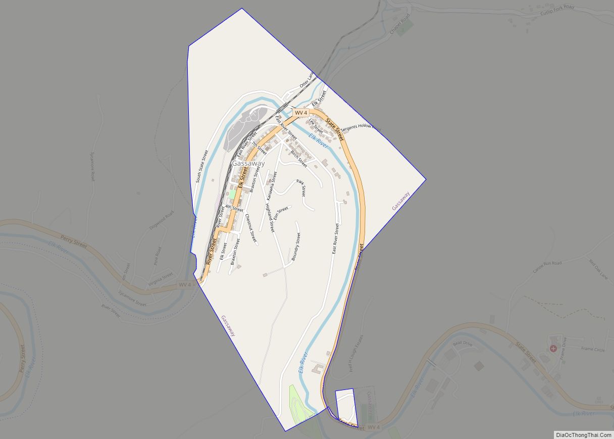
Braxton County Road Map
Geography
According to the United States Census Bureau, the county has a total area of 516 square miles (1,340 km), of which 511 square miles (1,320 km) is land and 5.5 square miles (14 km) (1.1%) is water.
In 1863, West Virginia’s counties were divided into civil townships, with the intention of encouraging local government. This proved impractical in the heavily rural state, and in 1872 the townships were converted into magisterial districts. Braxton County was originally divided into four townships: Clay, Franklin, Lincoln, and Washington, which became magisterial districts in 1872. All four districts were renamed in 1873: Clay District became Kanawha, Franklin became Holly, Lincoln became Otter, and Washington became Birch. Two years later, Salt Lick District was formed from part of Kanawha. The two districts were reconsolidated between 1910 and 1920, when the territory of Kanawha District was added to Salt Lick; otherwise they remained stable for the next sixty years. Between 1980 and 1990, the county was reorganized into four new magisterial districts: Northern, Southern, Eastern, and Western.
Major highways
- Interstate 79
- U.S. Highway 19
- West Virginia Route 4
- West Virginia Route 5
- West Virginia Route 15
Adjacent counties
- Lewis County (northeast)
- Webster County (southeast)
- Nicholas County (south)
- Clay County (southwest)
- Calhoun County (west)
- Gilmer County (northwest)
