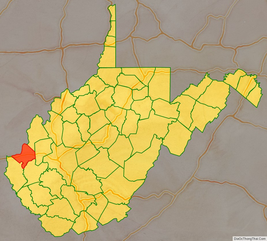
Cabell County is located in the U.S. state of West Virginia. As of the 2020 census, the population was 94,350, making it West Virginia’s fourth most-populous county. Its county seat is Huntington. The county was organized in 1809 and named for William H. Cabell, the Governor of Virginia from 1805 to 1808. Cabell County is part of the Huntington-Ashland, WV-KY-OH Metropolitan Statistical Area.
| Name: | Cabell County |
|---|---|
| FIPS code: | 54-011 |
| State: | West Virginia |
| Founded: | January 2, 1809 |
| Named for: | William H. Cabell |
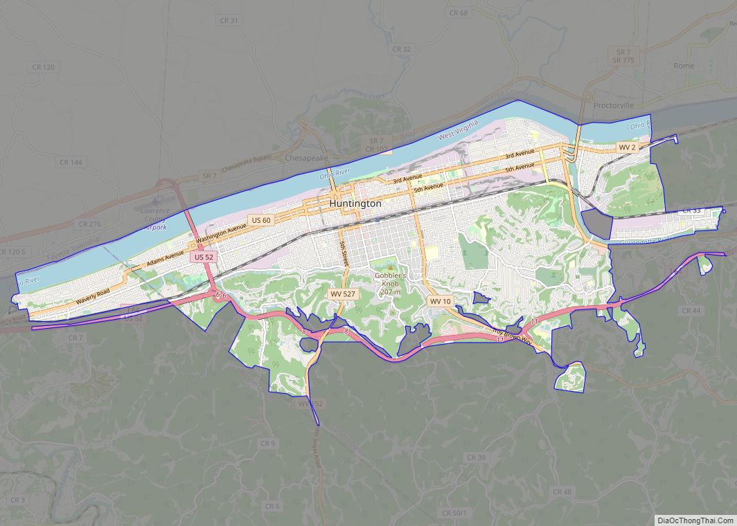
| Seat: | Huntington |
| Largest city: | Huntington |
| Total Area: | 288 sq mi (750 km²) |
| Land Area: | 281 sq mi (730 km²) |
| Total Population: | 94,350 |
| Population Density: | 330/sq mi (130/km²) |
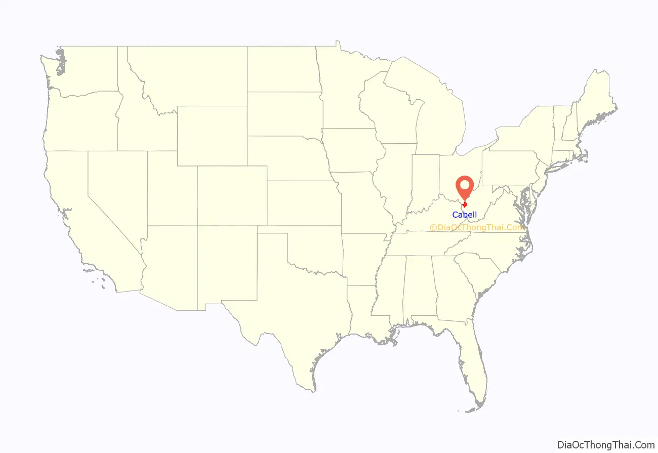
Cabell County location map. Where is Cabell County?
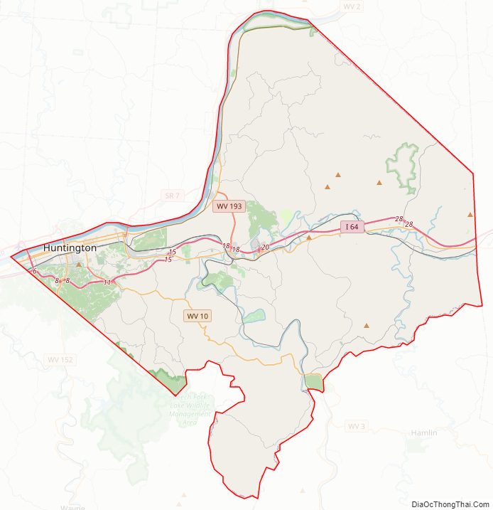
Cabell County Road Map
Geography
According to the United States Census Bureau, the county has an area of 288 square miles (750 km), of which 281 square miles (730 km) is land and 7.0 square miles (18 km) (2.4%) is water.
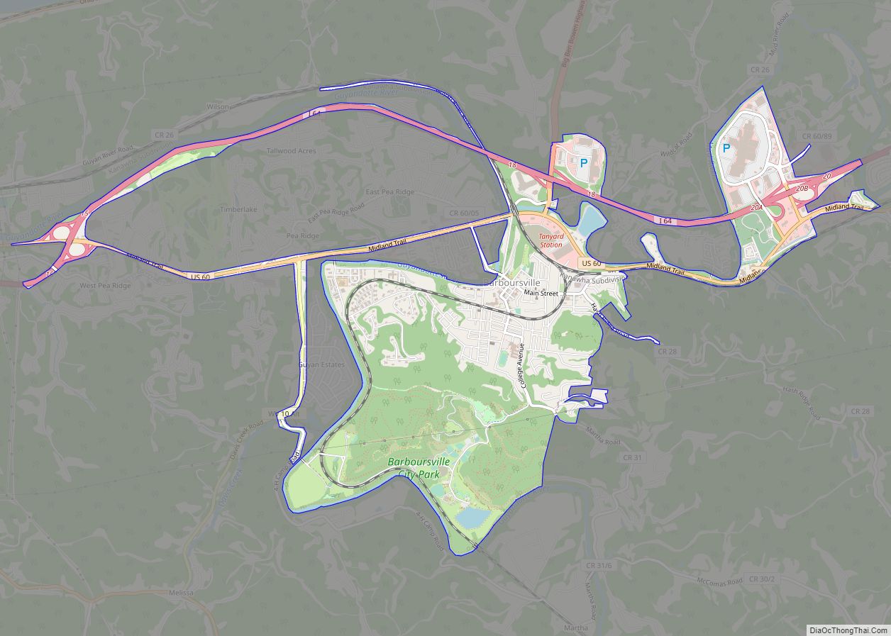
In 1863, West Virginia’s counties were divided into civil townships, with the intention of encouraging local government. This proved impractical in the heavily rural state, and in 1872 the townships were converted into magisterial districts. Cabell County was divided into five districts: Barboursville, Grant, Guyandotte, McComas, and Union. Two additional districts, Gideon and Kyle, were established between 1920 and 1930. Between 1980 and 1990, the county was redivided into five districts: District 1, District 2, District 3, District 4, and District 5. The names and boundaries of the historic districts were preserved in the form of tax and assessment districts.
Major highways
- Interstate 64
- U.S. Route 52
- U.S. Route 60
- West Virginia Route 2
- West Virginia Route 10
- West Virginia Route 152
- West Virginia Route 527
Adjacent counties
- Gallia County, Ohio
- Mason County (northeast)
- Putnam County (east)
- Lincoln County (southeast)
- Wayne County (southwest)
- Lawrence County, Ohio (northwest)
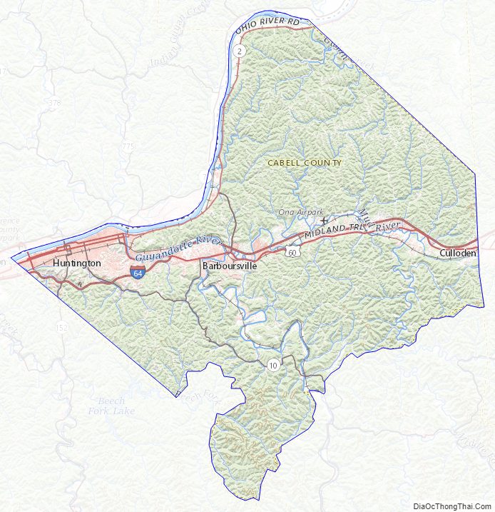
Cabell County Topographic Map
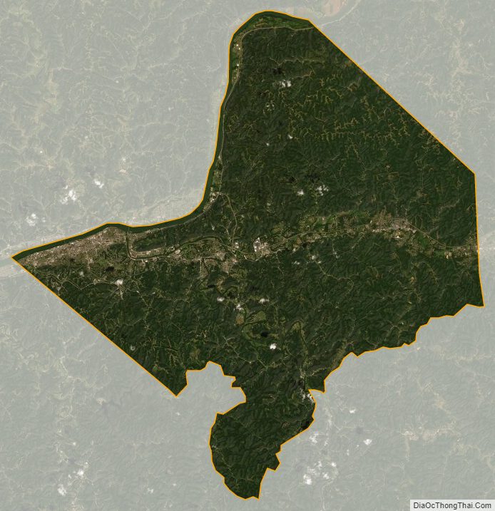
Cabell County Satellite Map
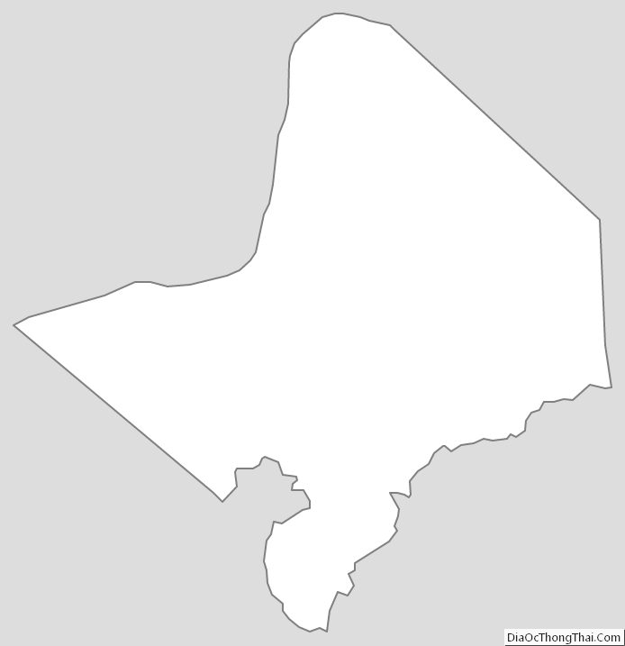
Cabell County Outline Map