Buena Vista County (/ˈbjuːnə ˈvɪstə/; Spanish pronunciation: [ˈbwena ˈβista]) is a county located in the U.S. state of Iowa. As of the 2020 census, the population was 20,823. Its county seat is Storm Lake. The county is named for the final victory of Field General Zachary Taylor in the Mexican–American War.
Buena Vista County comprises the Storm Lake, IA Micropolitan Statistical Area.
| Name: | Buena Vista County |
|---|---|
| FIPS code: | 19-021 |
| State: | Iowa |
| Founded: | 1851 |
| Named for: | Battle of Buena Vista |
| Seat: | Storm Lake |
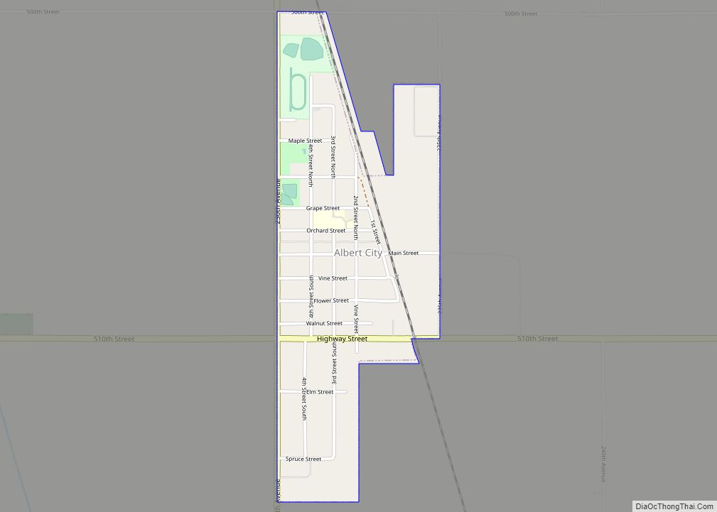
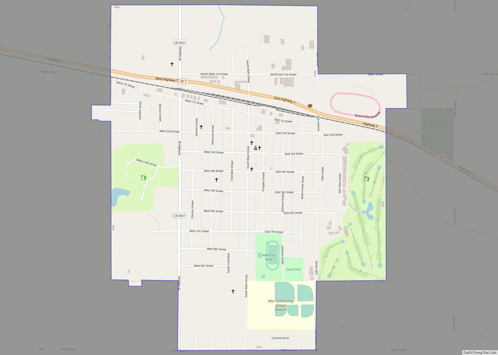
| Largest city: | Storm Lake |
| Total Area: | 580 sq mi (1,500 km²) |
| Land Area: | 575 sq mi (1,490 km²) |
| Total Population: | 20,823 |
| Population Density: | 36/sq mi (14/km²) |
| Time zone: | UTC−6 (Central) |
| Summer Time Zone (DST): | UTC−5 (CDT) |
| Website: | buenavistacounty.iowa.gov |
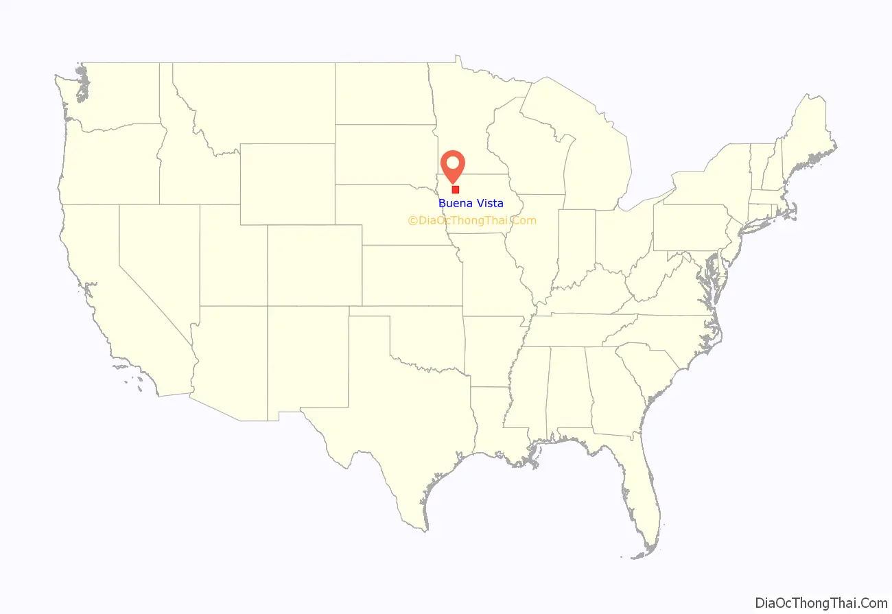
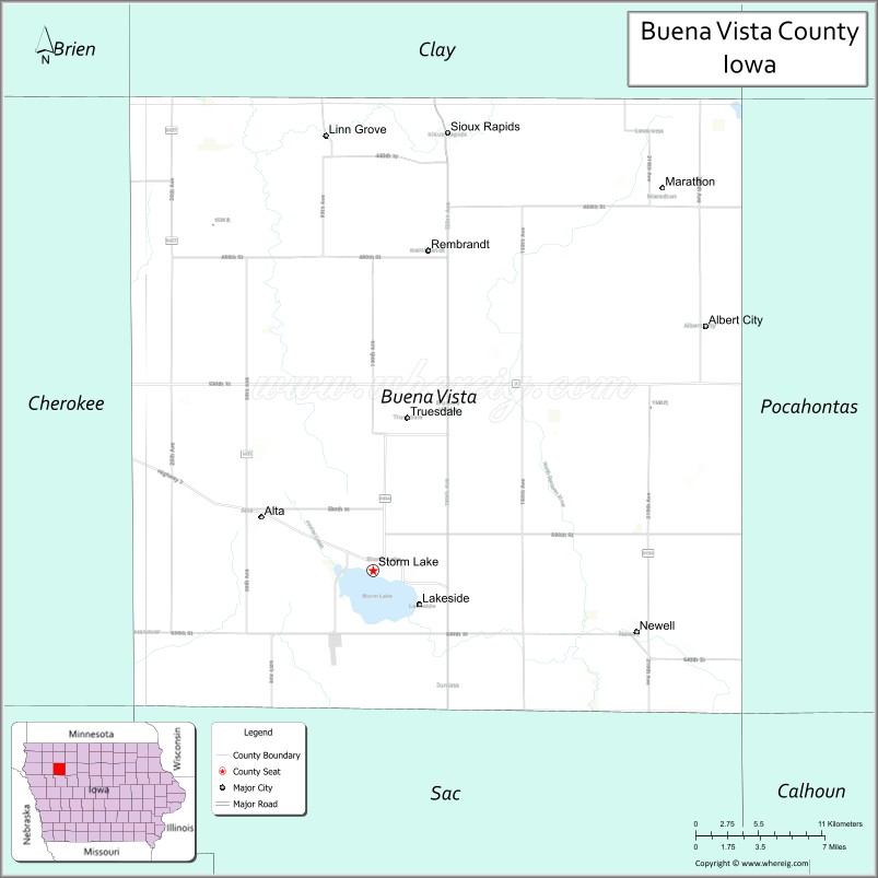
Buena Vista County location map. Where is Buena Vista County?
History
Buena Vista County was formed on January 15, 1851, from open land. It was named in memory of the Battle of Buena Vista in the Mexican-American War ending in 1848; the victorious United States annexed considerable territory as a result.
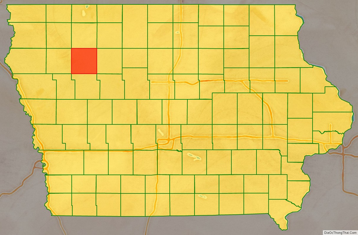
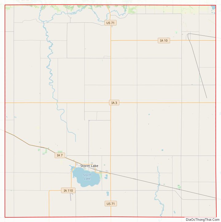
Buena Vista County Road Map
Geography
According to the U.S. Census Bureau, the county has a total area of 580 square miles (1,500 km), of which 575 square miles (1,490 km) is land and 5.3 square miles (14 km) (0.9%) is water.
Major highways
- U.S. Highway 71
- Iowa Highway 3
- Iowa Highway 7
- Iowa Highway 10
- Iowa Highway 110
Adjacent counties
- Clay County (north)
- Pocahontas County (east)
- Sac County (south)
- Cherokee County (west)
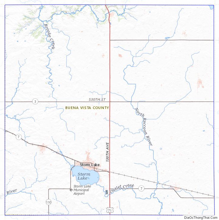
Buena Vista County Topographic Map
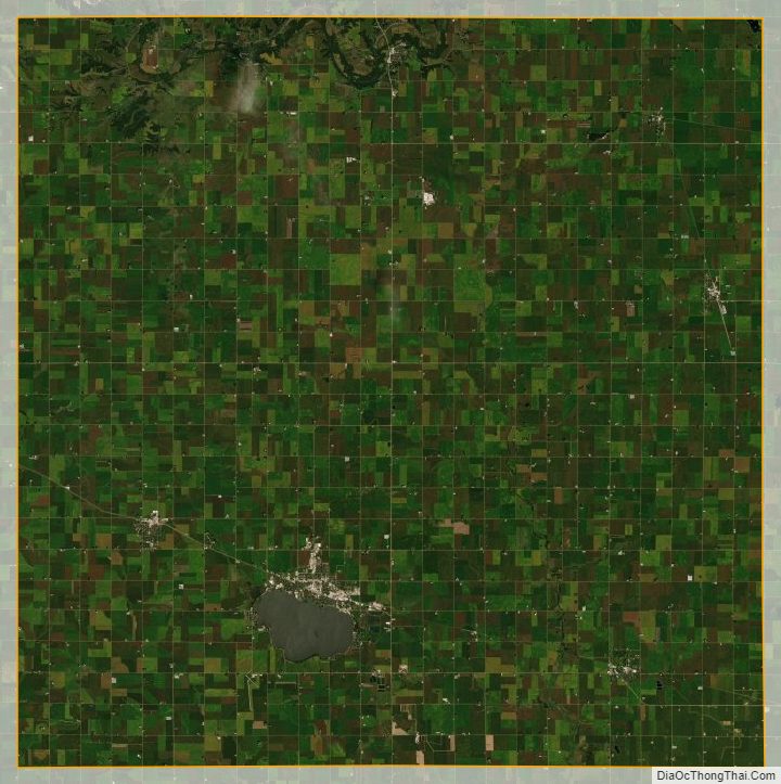
Buena Vista County Satellite Map
Buena Vista County Outline Map