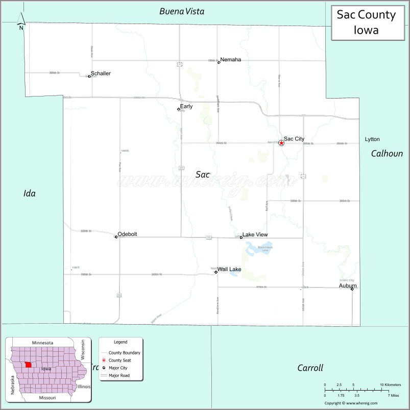
Sac County is a county located in the U.S. state of Iowa. As of the 2020 census, the population was 9,814. The county seat is Sac City. Both were named for the Sauk people, a local American Indian tribe.
In February 2007, in its third annual list of the “Best Places to Live in Rural America”, Progressive Farmer magazine placed Sac County as #7 in the overall rankings. In 2009, the magazine ranked Sac County as the tenth “Best Place” in the Midwest Region.
| Name: | Sac County |
|---|---|
| FIPS code: | 19-161 |
| State: | Iowa |
| Founded: | January 15, 1851 |
| Named for: | Sac and Fox Nation |
| Seat: | Sac City |
| Largest city: | Sac City |
| Total Area: | 578 sq mi (1,500 km²) |
| Land Area: | 575 sq mi (1,490 km²) |
| Total Population: | 9,814 |
| Population Density: | 17/sq mi (6.6/km²) |
| Time zone: | UTC−6 (Central) |
| Summer Time Zone (DST): | UTC−5 (CDT) |
| Website: | www.saccountyiowa.gov |
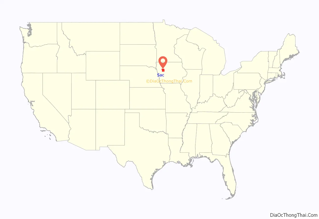
Sac County location map. Where is Sac County?
History
On January 13, 1846, the legislative body of the Iowa Territory authorized creation of twelve counties, with general descriptions of their boundaries. This brought the number of counties in the Iowa Territory to 22.
By the end of 1846, the territory had been accepted into the Union as the State of Iowa (December 28, 1846). By 1851, the new state had grown to the extent that the original 22 counties needed to be divided into smaller, more accessible units. Accordingly, on January 15, 1851, the Iowa General Assembly enacted an omnibus bill which created 43 new counties by reducing the previous counties. Sac County was named after the Sauk people, at that time called the Sac Indians.
It took some time for the new organization to fully function. Sac City was designated the county seat in 1856, and construction of the first county courthouse was complete in 1862. By 1873 the burgeoning population had outgrown that structure and a larger (85 x 56 feet brick) building was authorized to replace it.
The new courthouse, complete with impressive bell tower, was placed in service in January 1874, and was used until 1888 when it burned.
To replace that structure, the present courthouse was built. It was enlarged and remodeled in the 1980s.
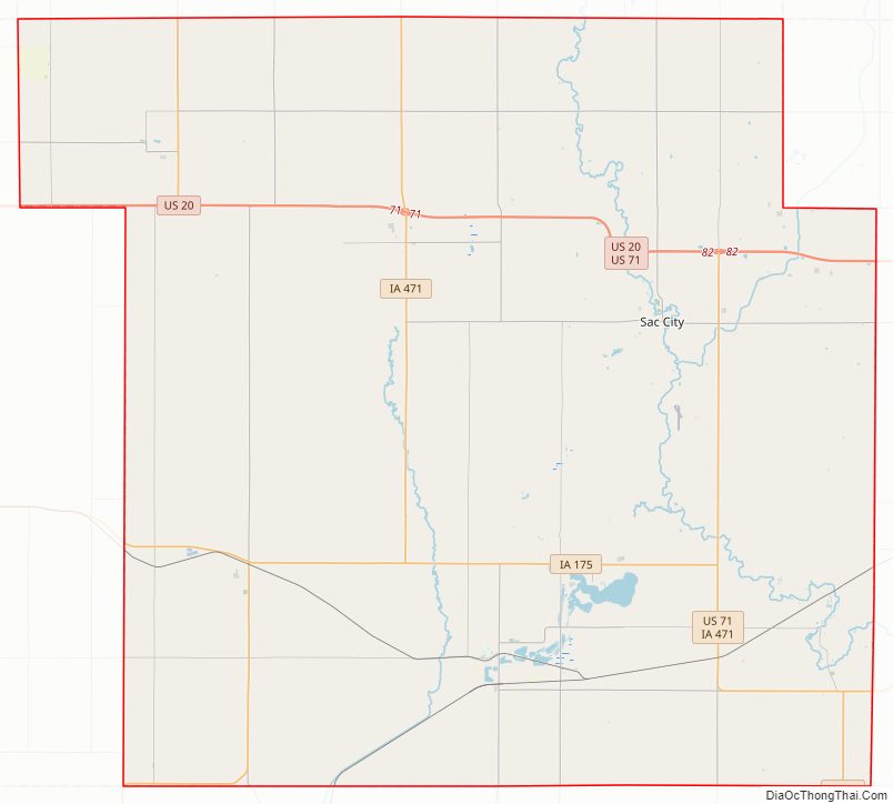
Sac County Road Map
Geography
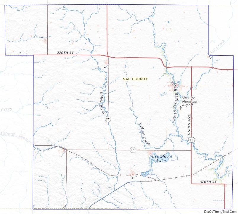
According to the U.S. Census Bureau, the county has a total area of 578 square miles (1,500 km), of which 575 square miles (1,490 km) is land and 3.3 square miles (8.5 km) (0.6%) is water.
Major highways
- U.S. Highway 20 – runs east–west through the northern part of the county, through Early and north of Sac City.
- U.S. Highway 71 – from its intersection with US 20 (east of Sac City), runs south, turns 4 miles east to Auburn, then continues south into Carroll County.
- Iowa Highway 39 – from its intersection with Iowa 175 at Odebolt, runs south into Crawford County.
- Iowa Highway 110 – from its intersection with US 20, runs north into Buena Vista County.
- Iowa Highway 175 – enters west side of county at Odebolt, runs east to intersection with US 71, east of Lake View.
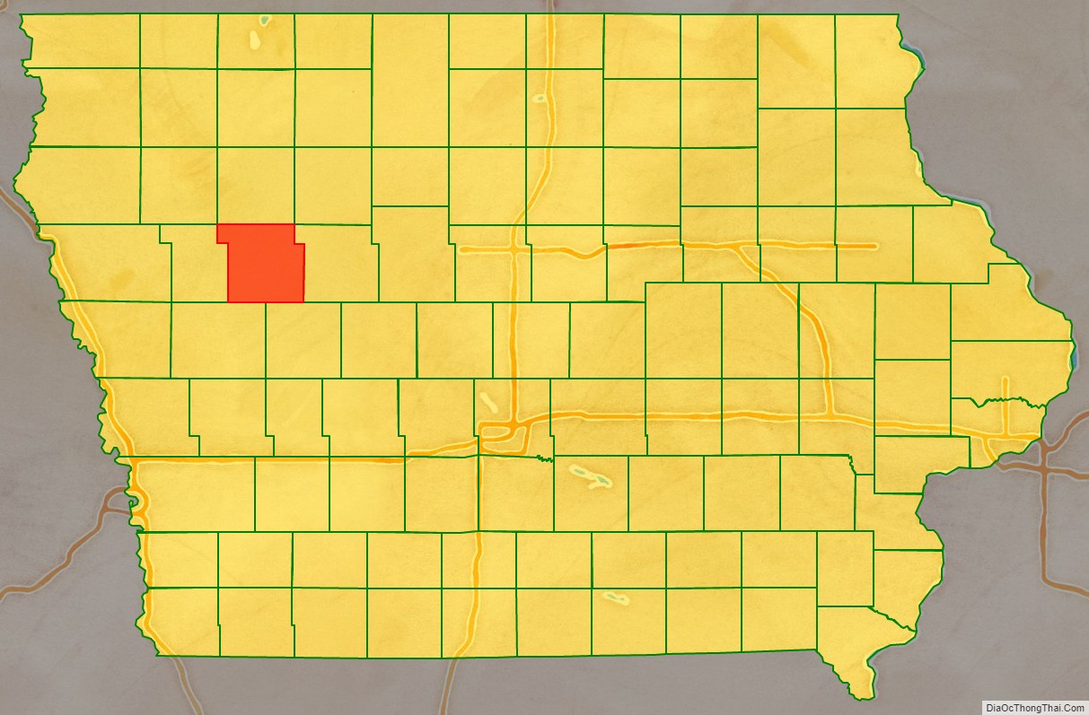
Adjacent counties
- Buena Vista County – north
- Calhoun County – east
- Carroll County – south and southeast
- Cherokee County – northwest
- Crawford County – south and southwest
- Ida County – west
- Pocahontas County – northeast
Sac County Topographic Map
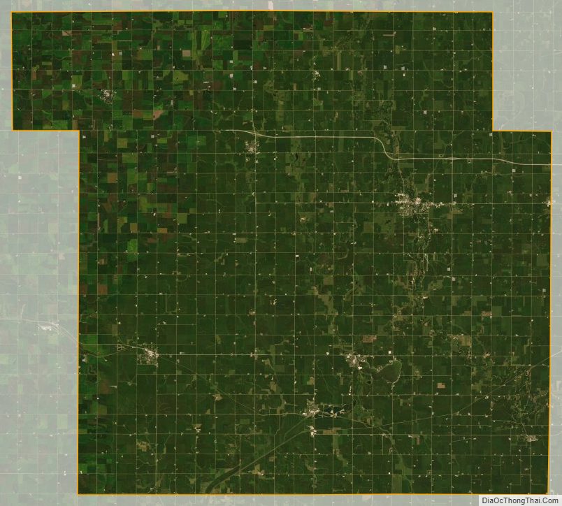
Sac County Satellite Map
Sac County Outline Map