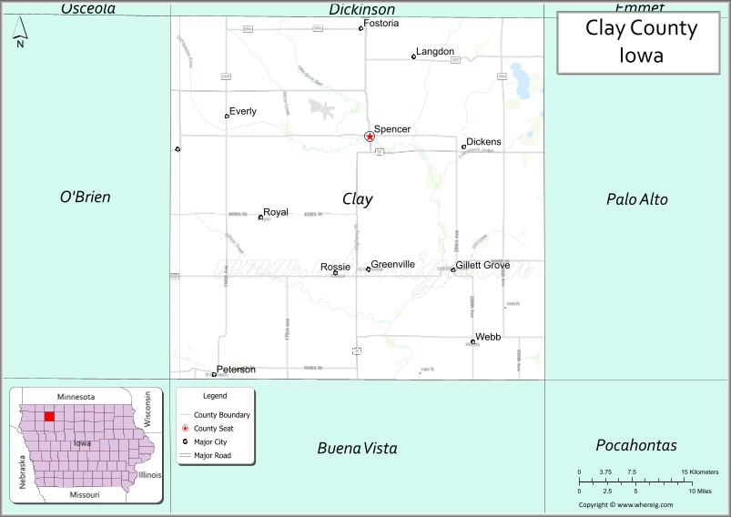
Clay County is a county located in the U.S. state of Iowa. As of the 2020 census, the population was 16,384. Its county seat is Spencer. Its name is in honor of Henry Clay Jr., a colonel who died in action in the Mexican–American War, and son of Henry Clay, famous American statesman from Kentucky.
Clay County comprises the Spencer, IA Micropolitan Statistical Area.
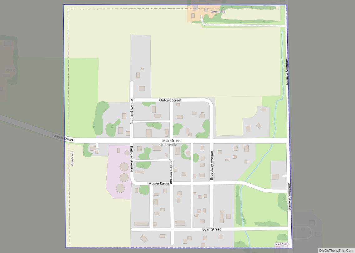
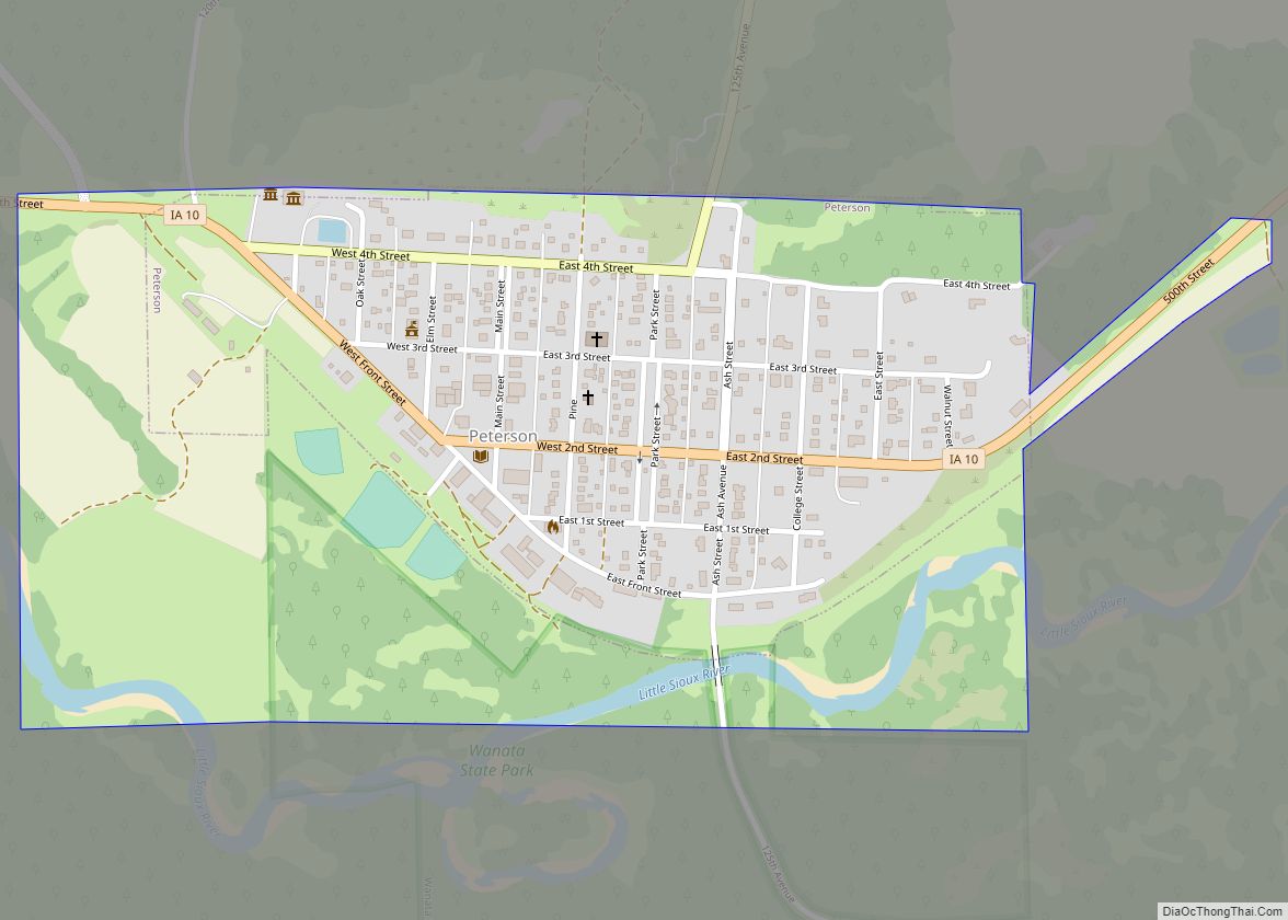
Clay County holds the annual Clay County Fair. The first newspaper in Clay County was the Peterson Patriot which started publication in 1880.
| Name: | Clay County |
|---|---|
| FIPS code: | 19-041 |
| State: | Iowa |
| Founded: | 1851 |
| Named for: | Henry Clay Jr. |
| Seat: | Spencer |
| Largest city: | Spencer |
| Total Area: | 573 sq mi (1,480 km²) |
| Land Area: | 567 sq mi (1,470 km²) |
| Total Population: | 16,384 |
| Population Density: | 29/sq mi (11/km²) |
| Time zone: | UTC−6 (Central) |
| Summer Time Zone (DST): | UTC−5 (CDT) |
| Website: | claycounty.iowa.gov |
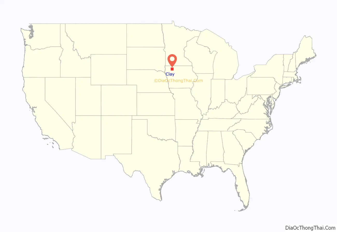
Clay County location map. Where is Clay County?
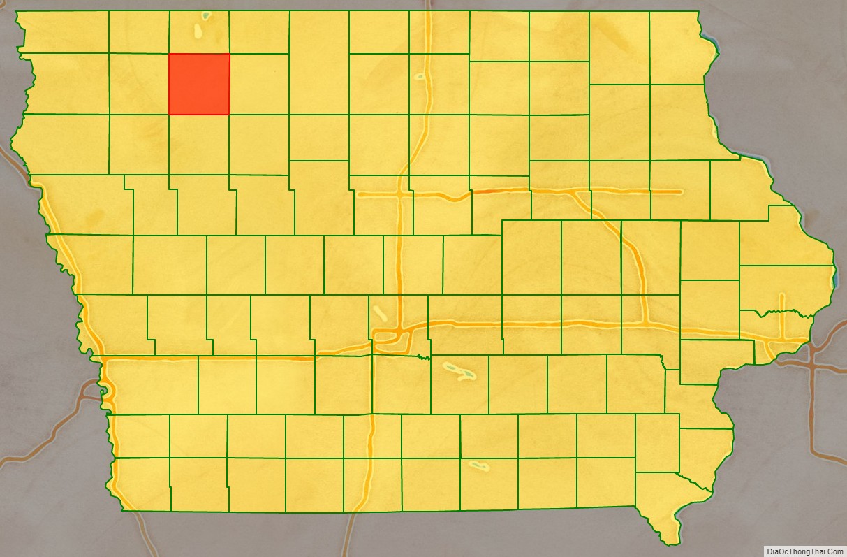
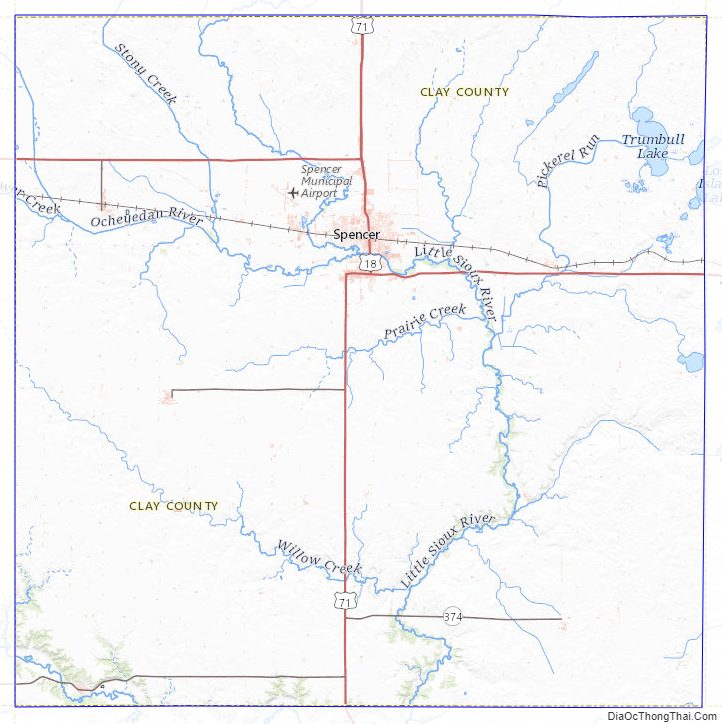
Clay County Road Map

Geography
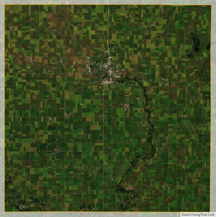
According to the U.S. Census Bureau, the county has a total area of 573 square miles (1,480 km), of which 567 square miles (1,470 km) is land and 5.4 square miles (14 km) (0.9%) is water. Clay County is home to the large Barringer Slough wetland.
Major highways
- U.S. Highway 18
- U.S. Highway 71
- Iowa Highway 10
Airport
The Spencer Municipal Airport is located three miles (5 km) northwest of the business district of Spencer. It provides service to the county and surrounding communities.
Adjacent counties
- Dickinson County (north)
- Palo Alto County (east)
- Buena Vista County (south)
- O’Brien County (west)
Clay County Topographic Map
Clay County Satellite Map
Clay County Outline Map