Trempealeau County (/ˈtrɛm.pə.loʊ/, TREM-pə-loh) is a county in the U.S. state of Wisconsin. As of the 2020 census, the population was 30,760. Its county seat is Whitehall. Many people of Polish, Norwegian and German descent live in this area.
| Name: | Trempealeau County |
|---|---|
| FIPS code: | 55-121 |
| State: | Wisconsin |
| Founded: | 1855 |
| Named for: | Trempealeau River |
| Seat: | Whitehall |
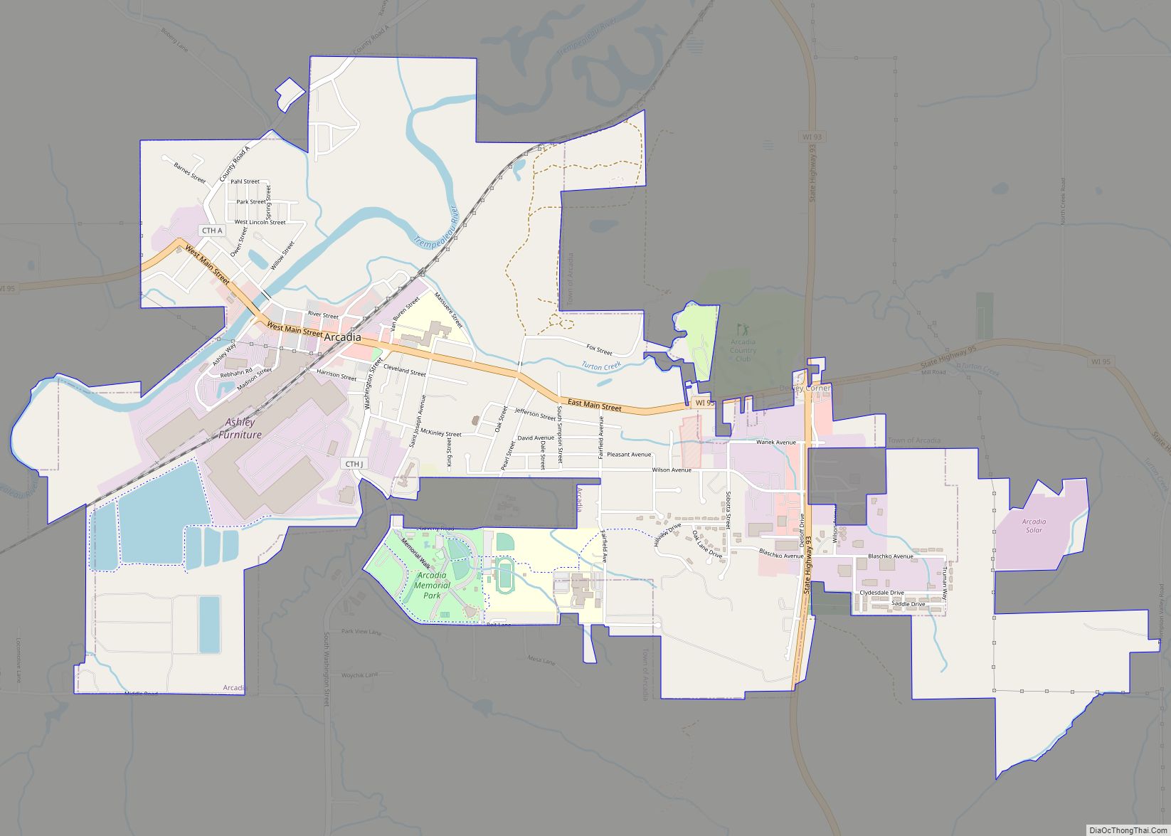
| Largest city: | Arcadia |
| Total Area: | 742 sq mi (1,920 km²) |
| Land Area: | 733 sq mi (1,900 km²) |
| Total Population: | 30,760 |
| Population Density: | 41/sq mi (16/km²) |
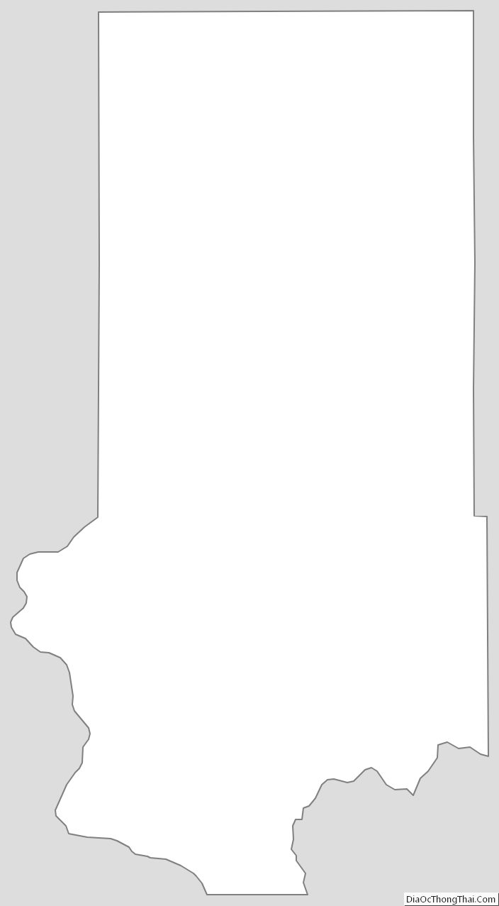
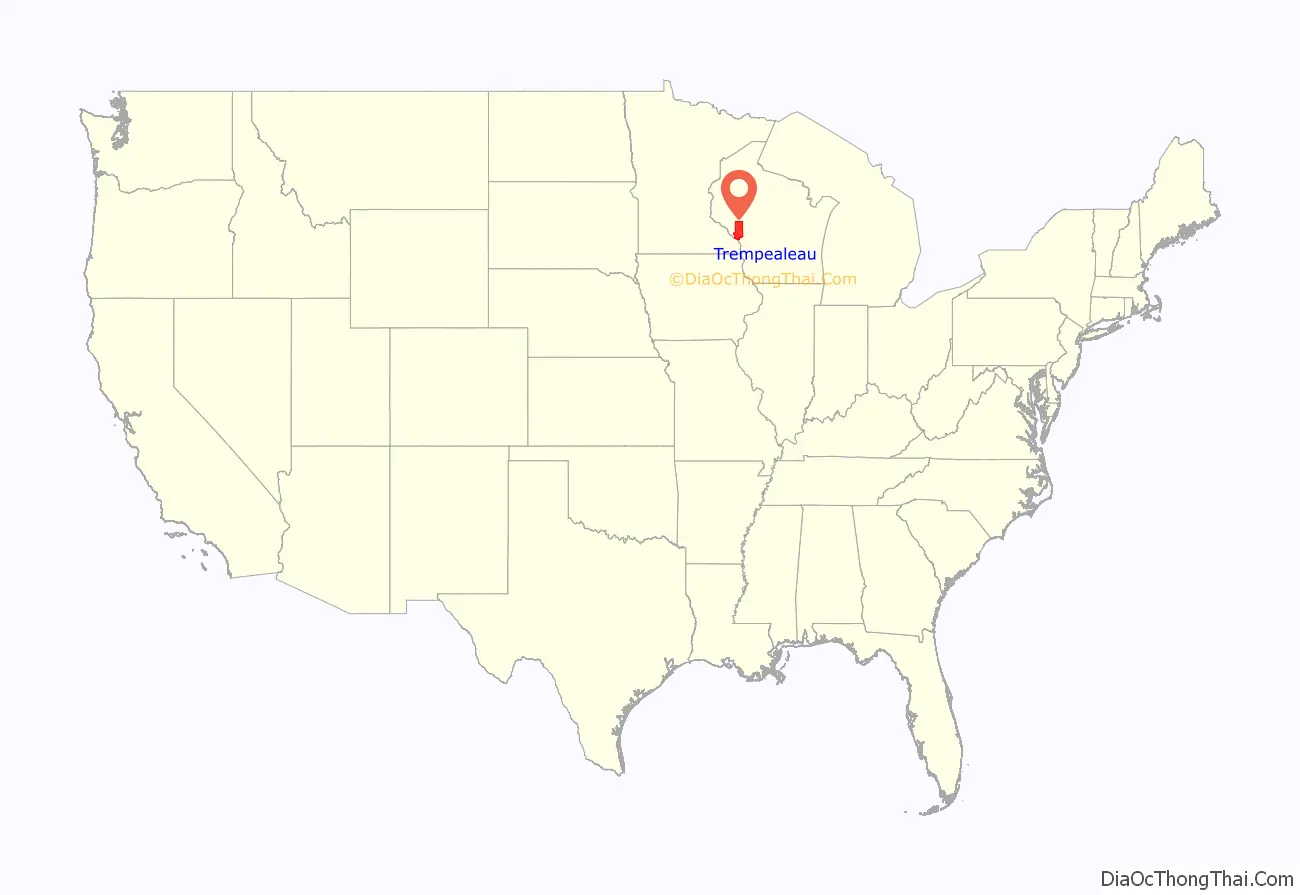
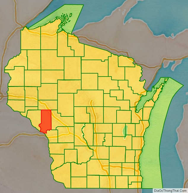
Trempealeau County location map. Where is Trempealeau County?
History
Patches of woodland are all that remain of the brush and light forest that once covered the county. In ancient times, the woodlands contained a great deal of timber, but Native Americans burned them periodically to encourage the growth of berries. They did little cultivation and had been almost completely removed from the area by 1837.
French fur traders were the first Europeans to enter this land, traveling by river across the county. At the mouth of the Trempealeau River at its confluence with the Mississippi River, they found a bluff surrounded by water and called it La Montagne qui trempe à l’eau (“mountain steeped in water”). It is now known as Trempealeau Mountain. The name was later shortened to Trempealeau. Created in 1854 and organized in 1855, the county is named after the river.
During the 19th and 20th century large numbers of Norwegian immigrants settled in the area in pursuit of cheap land, a better life and more opportunities. Much of the population is still of Norwegian descent and celebrate their ancestry by making foods native to Norway and participating in Norwegian Constitution Day events.
In the late 1850s, Trempealeau became a destination for Polish Prussian settlers from Upper Silesia seeking to escape German persecution and poverty in their homeland. They built churches, schools, and communities to develop what became the nation’s second-largest Polish settlement. Their settlements were especially focused around Independence, Arcadia, Whitehall, and Pine Creek. Trempealeau has a large population of Silesian Polish descent to this day.
The county again became an immigrant destination in the first decades of the 21st century, gaining a significant Hispanic and Latino population.
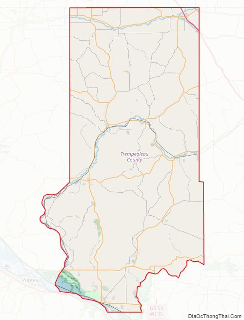
Trempealeau County Road Map
Geography
According to the U.S. Census Bureau, the county has an area of 742 square miles (1,920 km), of which 733 square miles (1,900 km) is land and 9.0 square miles (23 km) (1.2%) is water. It is part of the Driftless Zone.
Adjacent counties
- Buffalo County – west
- Eau Claire County – north
- Jackson County – east
- La Crosse County – southeast
- Winona County, Minnesota – southwest
Major highways
Railroads
- BNSF
- Canadian National
Buses
- List of intercity bus stops in Wisconsin
National protected areas
- Trempealeau National Wildlife Refuge (part)
- Upper Mississippi River National Wildlife and Fish Refuge (part)
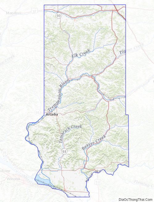
Trempealeau County Topographic Map
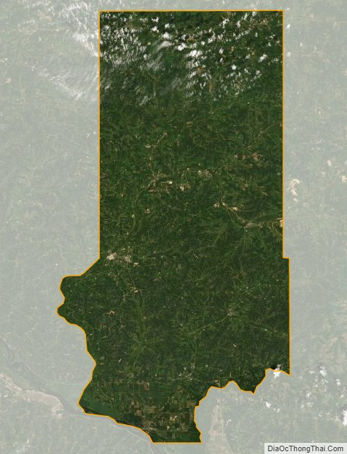
Trempealeau County Satellite Map
Trempealeau County Outline Map