| Name: | Calumet County |
|---|---|
| FIPS code: | 55-015 |
| State: | Wisconsin |
| Founded: | 1850 |
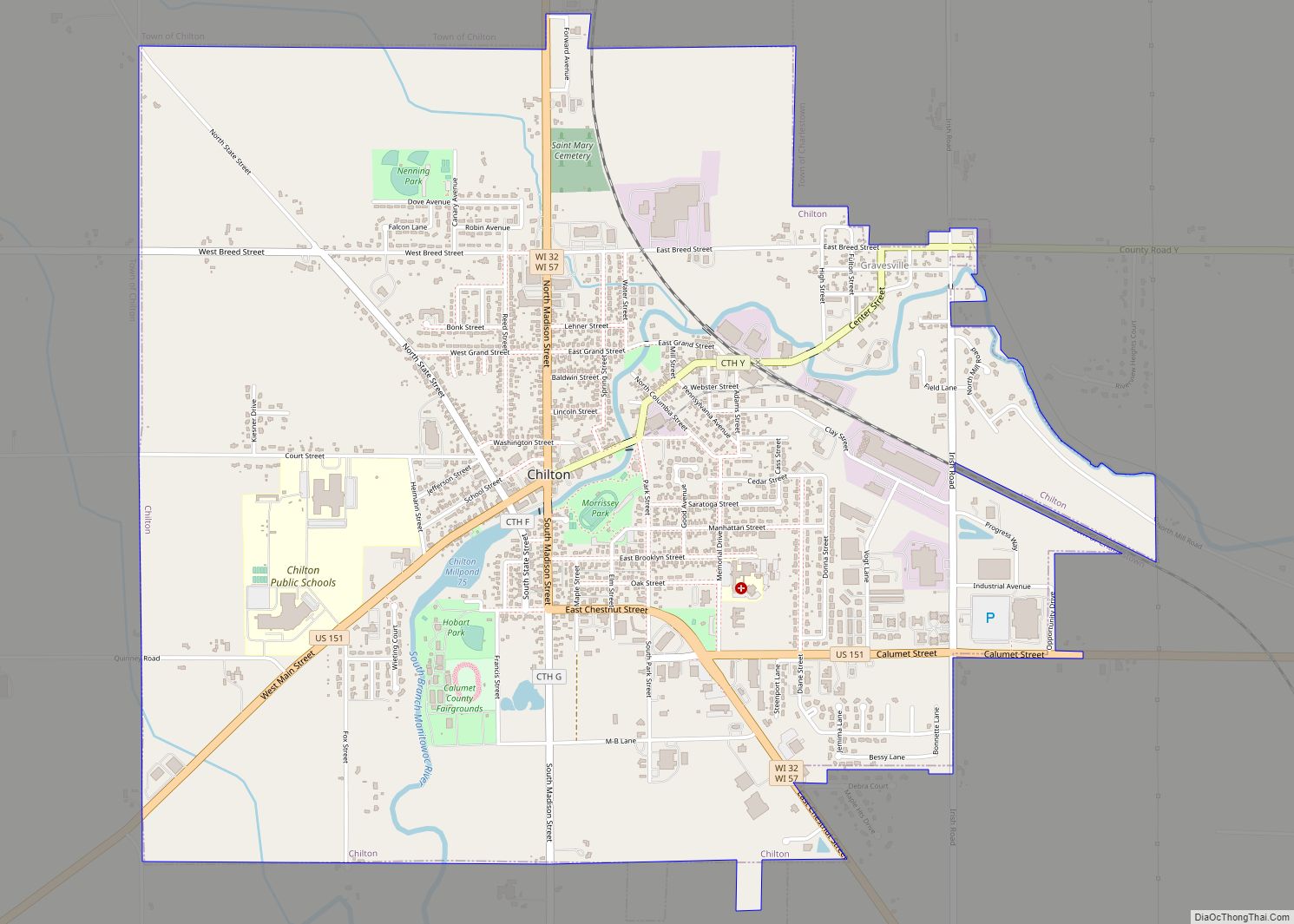
| Seat: | Chilton |
| Largest city: | Chilton |
| Total Area: | 397 sq mi (1,030 km²) |
| Land Area: | 318 sq mi (820 km²) |
| Total Population: | 52,442 |
| Population Density: | 164.8/sq mi (63.6/km²) |
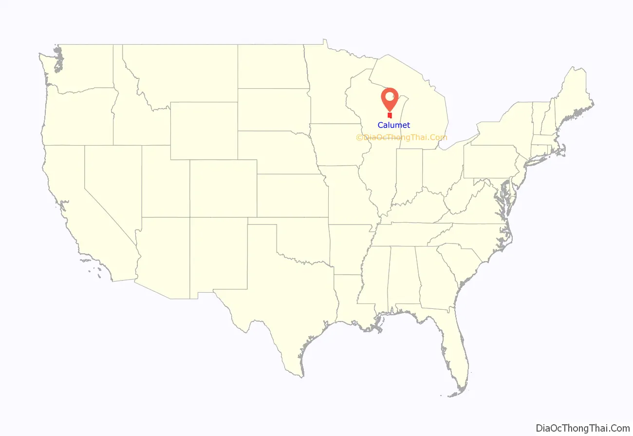
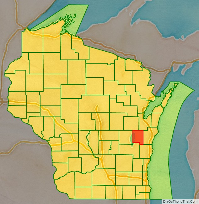
Calumet County location map. Where is Calumet County?
History
The county’s name originated from the word calumet, the French name for the ceremonial pipes used by Native Americans in councils on the east shore of Lake Winnebago.
In the 1830s, the United States government relocated Native Americans from New York and New England to the southwest part of the county; these included the Brothertown Indians, Oneida Indians, and Stockbridge-Munsee Indians. This was a second migration for the Brothertown and Stockbridge Indians, who had moved to New York after the American Revolutionary War. The Oneida shared land on their reservation with these peoples, who had been displaced by the years of colonization in New England, warfare and disease. Each of the three groups are federally recognized with reservations in Wisconsin.
Many of the early European residents in the Holyland region in the southern part of the county were emigrants from the Schleswig-Holstein region in Germany in the 1840s.
The county was legally organized on February 5, 1850, by Chapter 84 Laws of 1850.
Calumet County figures prominently in the 2015 Netflix television series Making a Murderer, which documents the arrests and trials of Manitowoc County resident Steven Avery, which involves from 2005 the Calumet sheriff’s department and district attorney’s office of Ken Kratz.
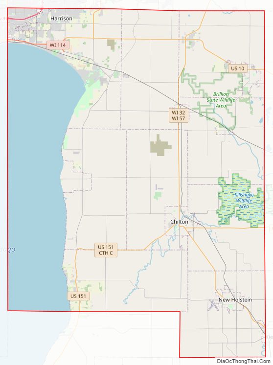
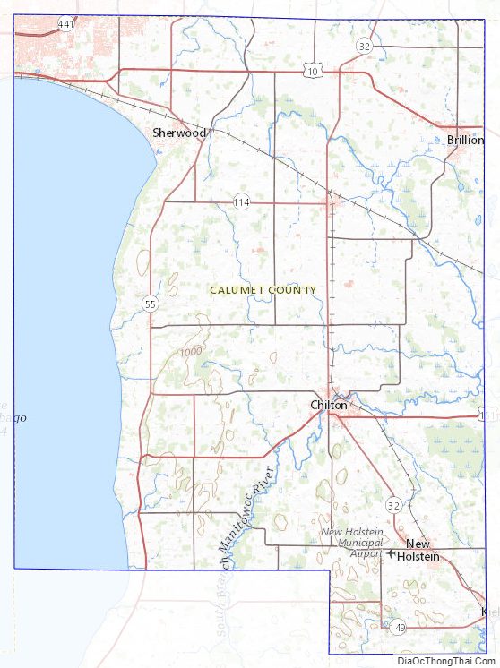
Calumet County Road Map
Geography
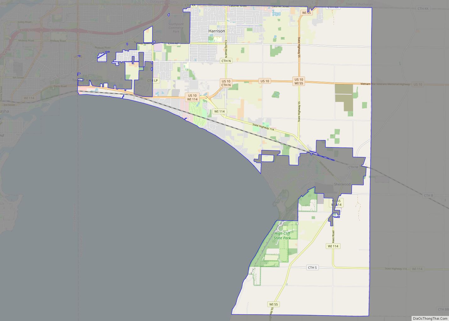
According to the U.S. Census Bureau, the county has a total area of 397 square miles (1,030 km), of which 318 square miles (820 km) is land and 79 square miles (200 km) (20%) is water. It is the fifth-smallest county in Wisconsin by land area and fourth-smallest by total area. The west boundary is largely in Lake Winnebago. The Niagara Escarpment runs north–south several miles east of the western boundary. The topography has been greatly influenced by glaciation.
Adjacent counties
- Brown County – northeast
- Manitowoc County – east
- Sheboygan County – southeast
- Fond du Lac County – southwest
- Winnebago County – west
- Outagamie County – northwest
Calumet County Topographic Map
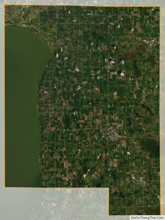
Calumet County Satellite Map
Calumet County Outline Map