Chilton is a city in and county seat of Calumet County in the U.S. state of Wisconsin. The population was 4,080 at the 2020 census. The city is partially within the Town of Chilton.
| Name: | Chilton city |
|---|---|
| LSAD Code: | 25 |
| LSAD Description: | city (suffix) |
| State: | Wisconsin |
| County: | Calumet County |
| Elevation: | 902 ft (275 m) |
| Total Area: | 4.02 sq mi (10.42 km²) |
| Land Area: | 3.98 sq mi (10.30 km²) |
| Water Area: | 0.05 sq mi (0.12 km²) |
| Total Population: | 4,080 |
| Population Density: | 970.57/sq mi (374.74/km²) |
| ZIP code: | 53014 |
| Area code: | 920 |
| FIPS code: | 5514475 |
| GNISfeature ID: | 1563022 |
| Website: | chilton.govoffice.com |
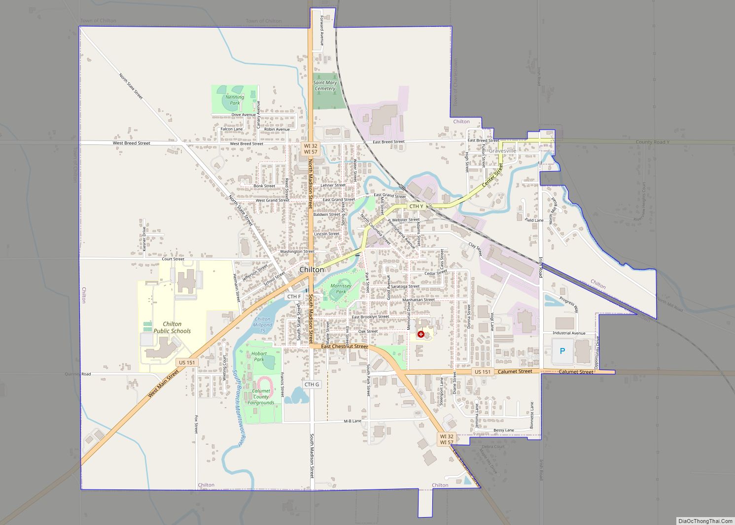
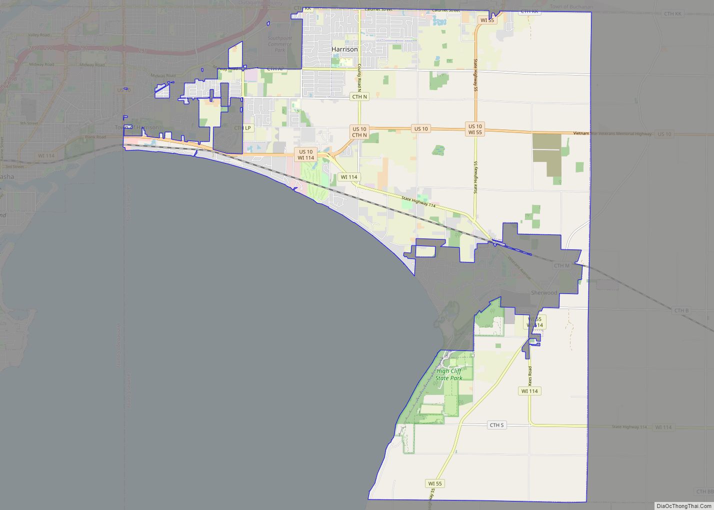
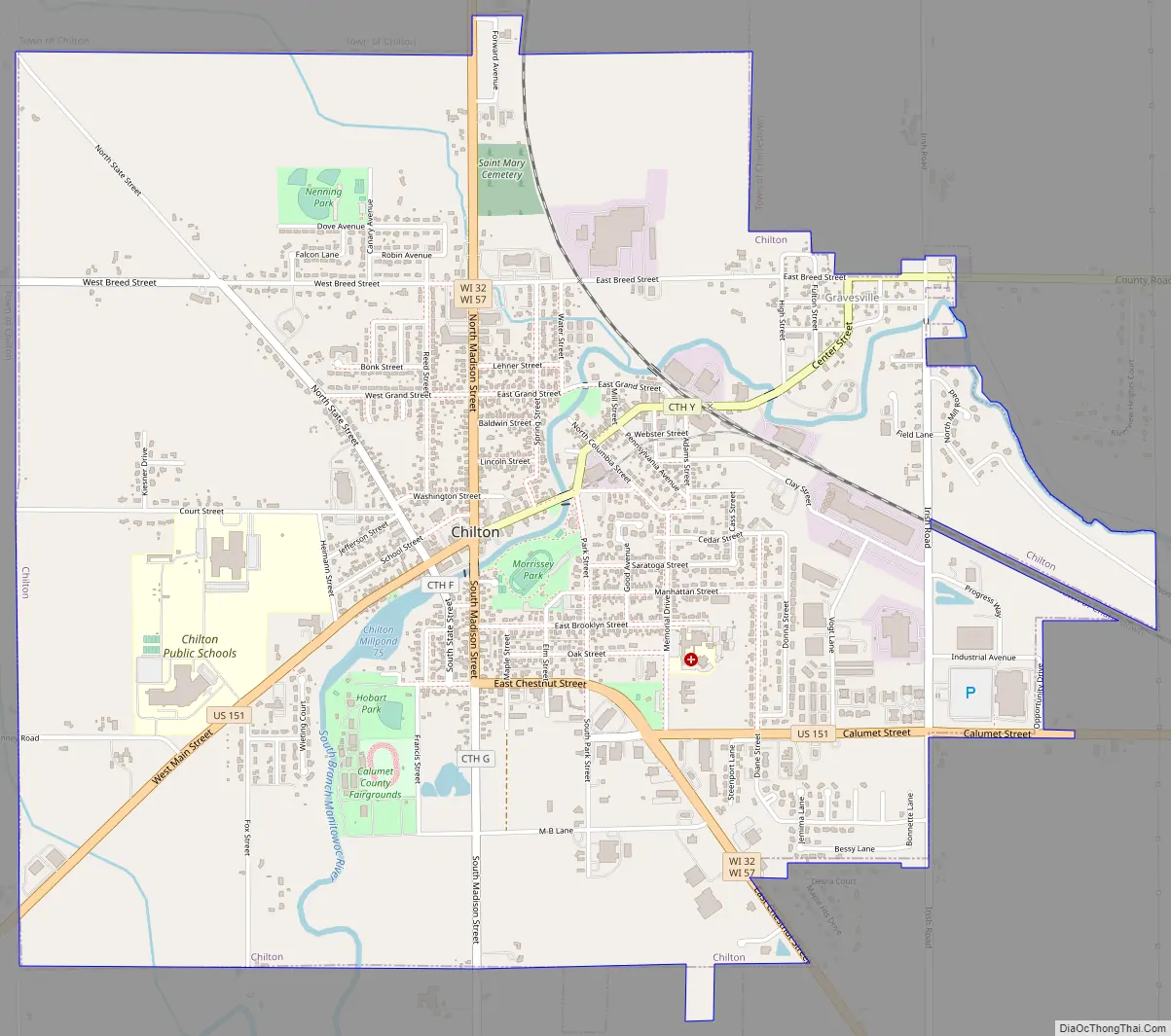
Online Interactive Map
Click on ![]() to view map in "full screen" mode.
to view map in "full screen" mode.
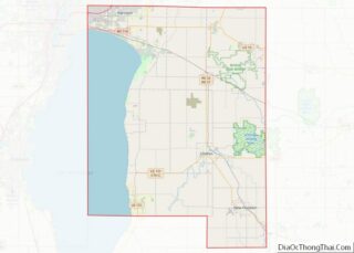
Chilton location map. Where is Chilton city?


History
The first residents of Chilton were African-American former slave Moses Stanton and his Native-American wife, Catherine, who arrived in January 1845. The city formed around his saw mill and a grist mill a few years later.
The village was originally called Stantonville. John Marygold bought the place in 1852 and called it “Chilington,” referring to Chillington Hall in England. He sent a verbal message to have the name change recorded in Stockbridge, then the county seat. Because the middle ing in the name was accidentally omitted, the municipality was recorded as Chilton. An alternative explanation for the name is that it was a reference to a village called Chilton near Oxford, England.
The county seat was changed to Chilton in December 1853 and the county’s first courthouse was built. Most Chilton residents in the 19th century had German heritage.
Gravesville
Chilton annexed the unincorporated community of Gravesville in the late twentieth century. Gravesville was founded 1849 by Leroy Graves and the community was named after him. By 1881, it was one of the largest communities in the county behind Chilton and Stockbridge. Gravesville had over 400 residents and it unsuccessfully vied for becoming the county seat. Graves built a sawmill in 1849 which remained in the community until he moved it to Fond du Lac in 1886. At its peak, the community had several general stores, a furniture factory, and a saw/planing mill. It also had a post office (as of 1876).
Chilton Road Map
Chilton city Satellite Map

Geography
Chilton is located at 44°1′50″N 88°9′31″W / 44.03056°N 88.15861°W / 44.03056; -88.15861 (44.030745, -88.158704), along the South Branch of the Manitowoc River.
According to the United States Census Bureau, the city has an area of 4.01 square miles (10.39 km), of which, 3.97 square miles (10.28 km) is land and 0.04 square miles (0.10 km) is water.
See also
Map of Wisconsin State and its subdivision:- Adams
- Ashland
- Barron
- Bayfield
- Brown
- Buffalo
- Burnett
- Calumet
- Chippewa
- Clark
- Columbia
- Crawford
- Dane
- Dodge
- Door
- Douglas
- Dunn
- Eau Claire
- Florence
- Fond du Lac
- Forest
- Grant
- Green
- Green Lake
- Iowa
- Iron
- Jackson
- Jefferson
- Juneau
- Kenosha
- Kewaunee
- La Crosse
- Lafayette
- Lake Michigan
- Lake Superior
- Langlade
- Lincoln
- Manitowoc
- Marathon
- Marinette
- Marquette
- Menominee
- Milwaukee
- Monroe
- Oconto
- Oneida
- Outagamie
- Ozaukee
- Pepin
- Pierce
- Polk
- Portage
- Price
- Racine
- Richland
- Rock
- Rusk
- Saint Croix
- Sauk
- Sawyer
- Shawano
- Sheboygan
- Taylor
- Trempealeau
- Vernon
- Vilas
- Walworth
- Washburn
- Washington
- Waukesha
- Waupaca
- Waushara
- Winnebago
- Wood
- Alabama
- Alaska
- Arizona
- Arkansas
- California
- Colorado
- Connecticut
- Delaware
- District of Columbia
- Florida
- Georgia
- Hawaii
- Idaho
- Illinois
- Indiana
- Iowa
- Kansas
- Kentucky
- Louisiana
- Maine
- Maryland
- Massachusetts
- Michigan
- Minnesota
- Mississippi
- Missouri
- Montana
- Nebraska
- Nevada
- New Hampshire
- New Jersey
- New Mexico
- New York
- North Carolina
- North Dakota
- Ohio
- Oklahoma
- Oregon
- Pennsylvania
- Rhode Island
- South Carolina
- South Dakota
- Tennessee
- Texas
- Utah
- Vermont
- Virginia
- Washington
- West Virginia
- Wisconsin
- Wyoming