Yellowstone County is the most populous county in the U.S. state of Montana. As of the 2020 census, the population was 164,731. Its county seat is Billings, the state’s most populous city. Yellowstone County is named for the Yellowstone River which roughly bisects the county, flowing southwest to northeast. The river in turn was named after the yellow Sandstone cliffs in what is now Yellowstone County.
Yellowstone County is included in the Billings, Montana Metropolitan Statistical Area.
| Name: | Yellowstone County |
|---|---|
| FIPS code: | 30-111 |
| State: | Montana |
| Founded: | February 26, 1883 |
| Named for: | Yellowstone River |
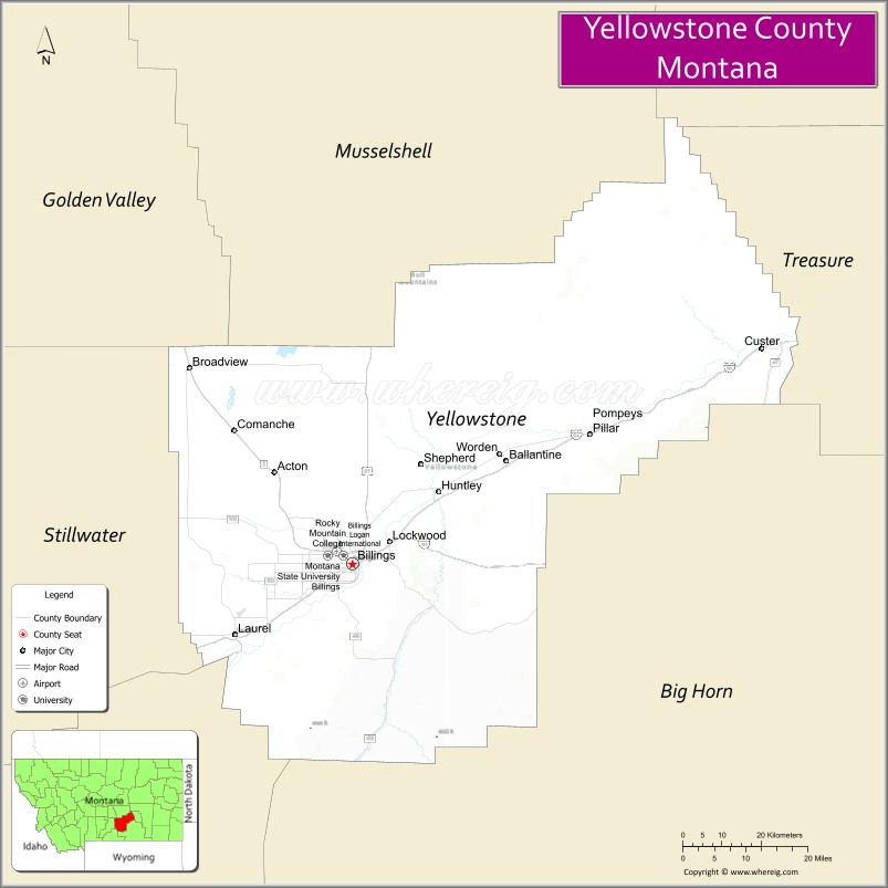
| Seat: | Billings |
| Largest city: | Billings |
| Total Area: | 2,649 sq mi (6,860 km²) |
| Land Area: | 2,633 sq mi (6,820 km²) |
| Total Population: | 164,731 |
| Population Density: | 62/sq mi (24/km²) |
| Time zone: | UTC−7 (Mountain) |
| Summer Time Zone (DST): | UTC−6 (MDT) |
| Website: | www.co.yellowstone.mt.gov |
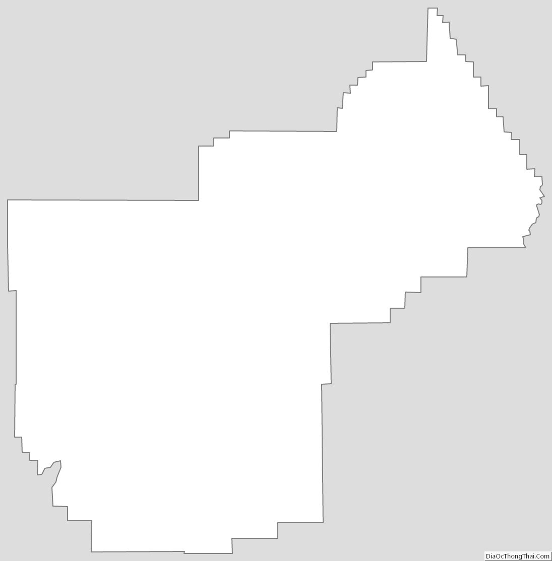
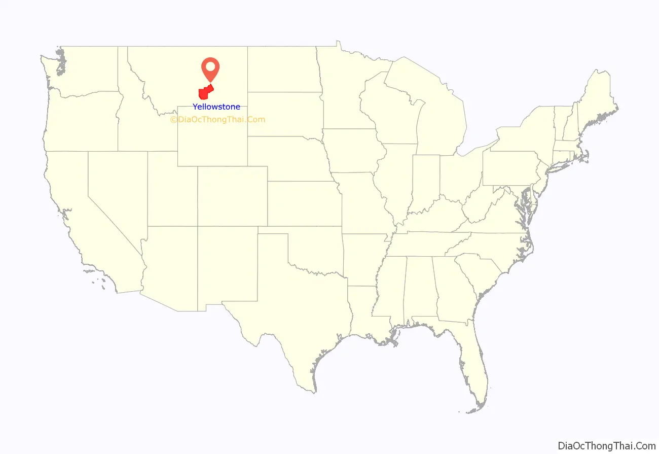
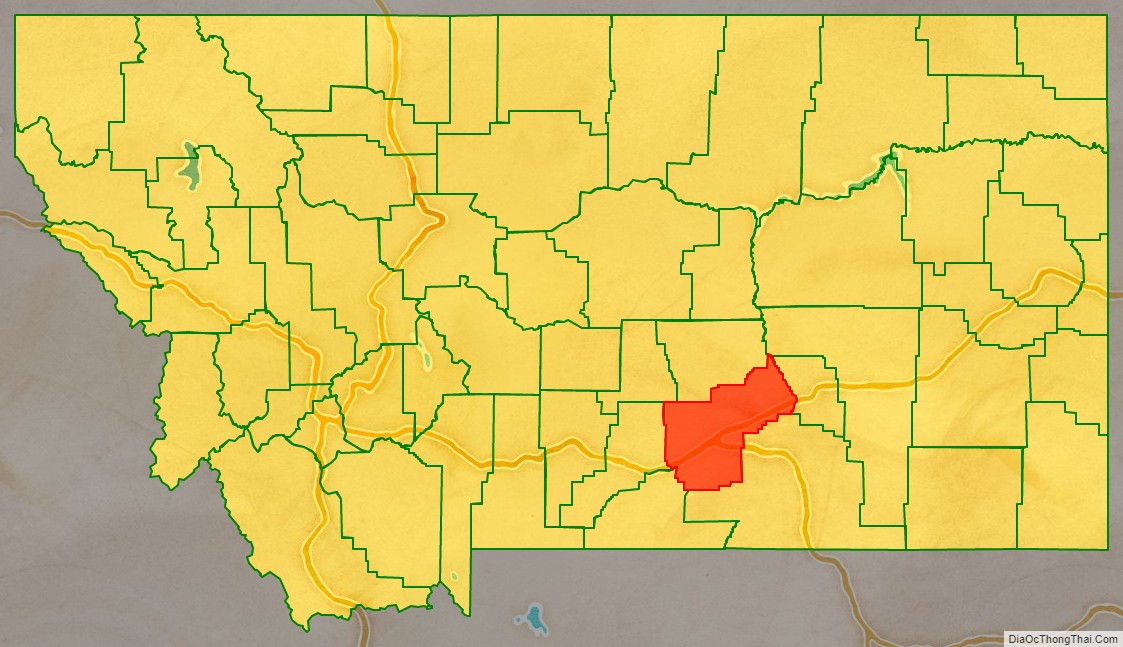
Yellowstone County location map. Where is Yellowstone County?
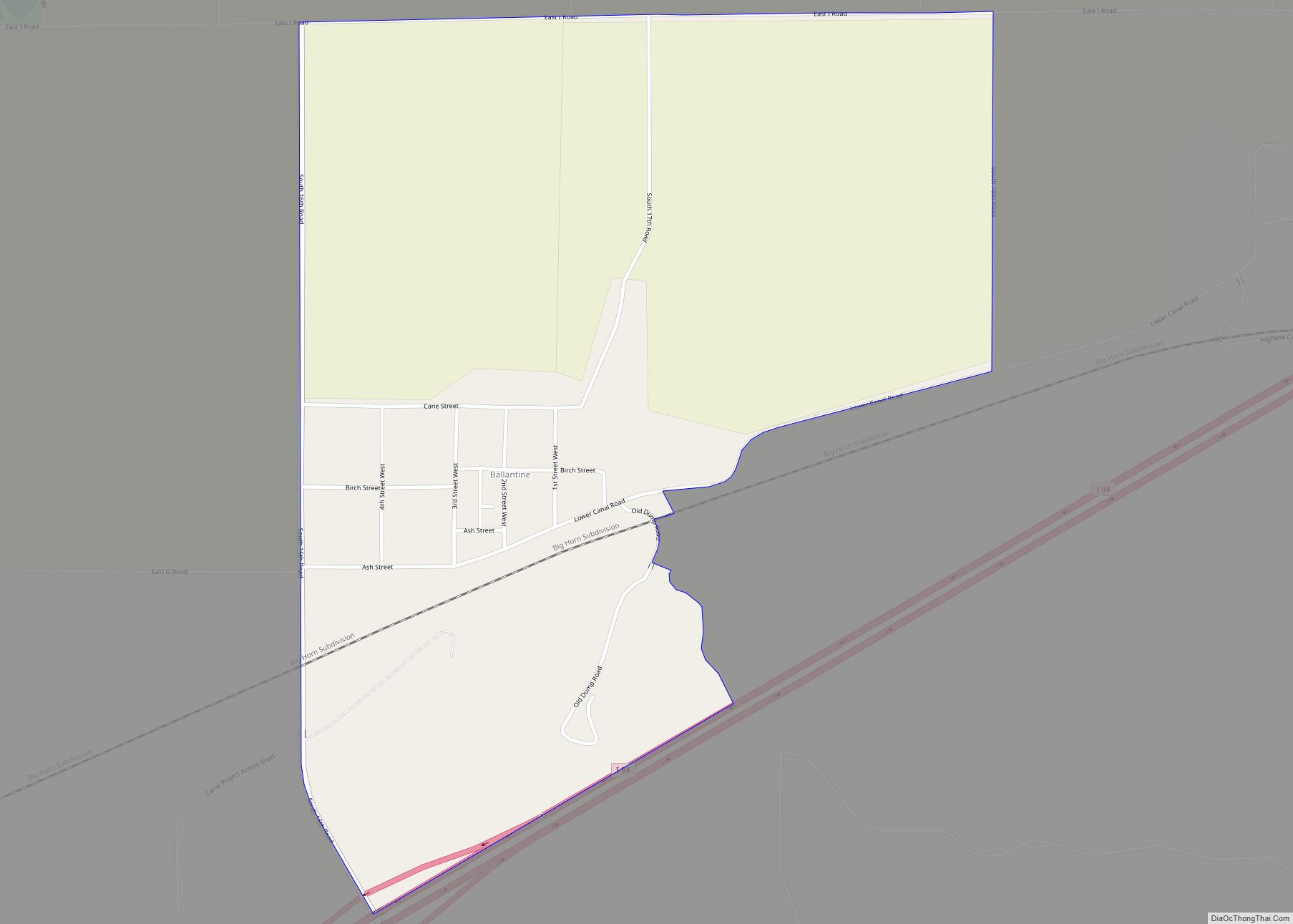
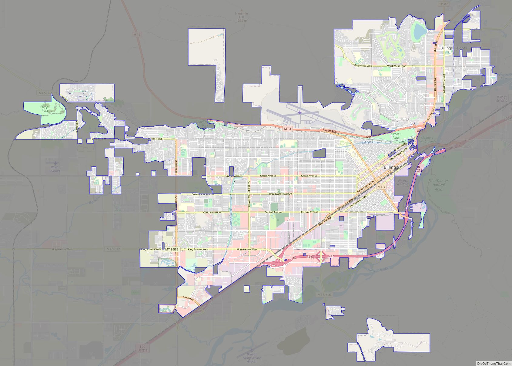
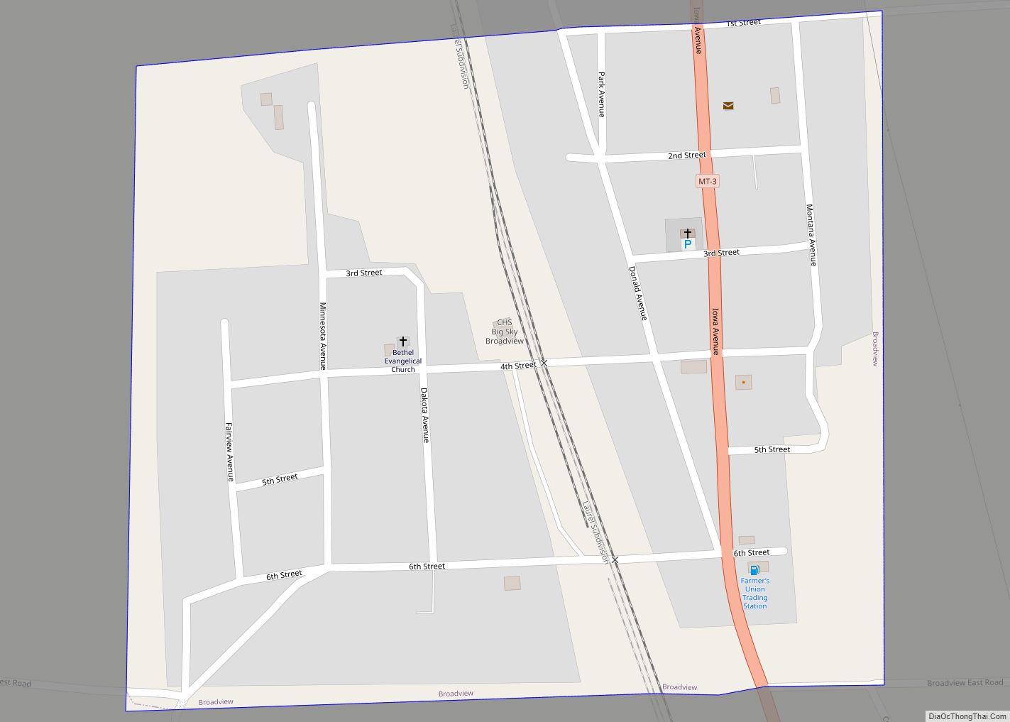
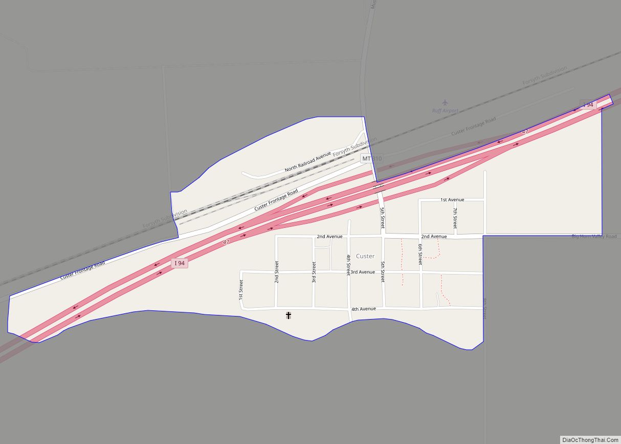
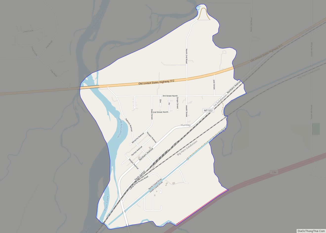
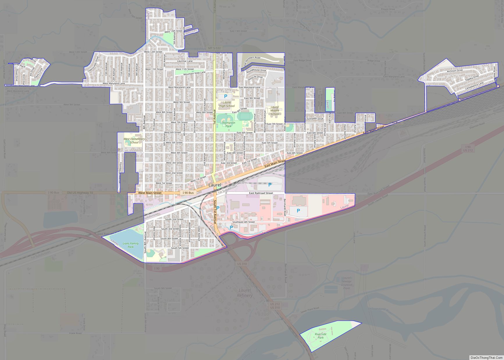
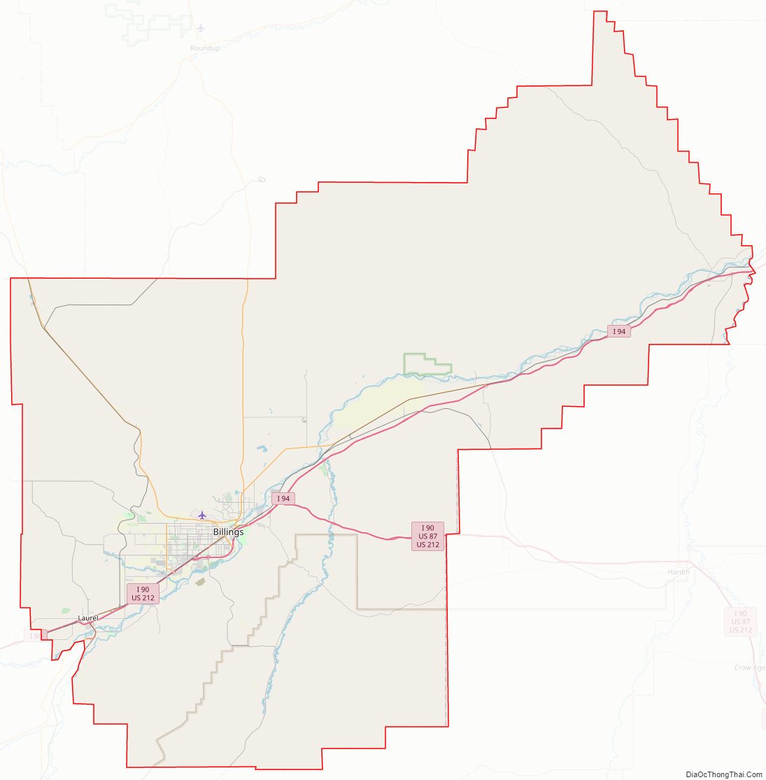
Yellowstone County Road Map
Geography
According to the United States Census Bureau, the county has a total area of 2,649 square miles (6,860 km), of which 2,633 square miles (6,820 km) is land and 16 square miles (41 km) (0.6%) is water.
Major highways
- I-90
- I-90 BL
- I-94
- US 87
- US 212
- US 310
- MT 3
- MT 47
- S-302
Adjacent counties
- Musselshell County – north
- Rosebud County – northeast
- Treasure County – east
- Big Horn County – southeast
- Carbon County – southwest
- Stillwater County – west
- Golden Valley County – northwest
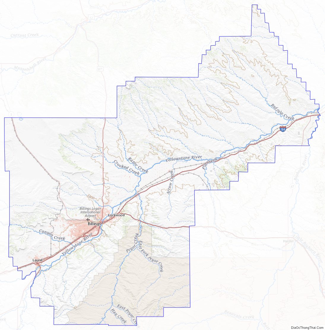
National protected areas
- Nez Perce National Historical Park (part)
- Pompeys Pillar National Monument
Yellowstone County Topographic Map
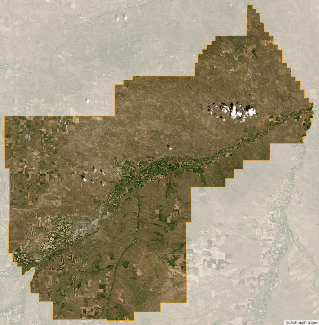
Yellowstone County Satellite Map
Yellowstone County Outline Map