Chaves County is a county in New Mexico, United States. As of the 2020 census, the population was 65,157. Its county seat is Roswell. Chaves County was named for Colonel Jose Francisco Chaves, a military leader there during the Civil War and later in Navajo campaigns. The county was created by the New Mexico Territorial Legislature on February 25, 1889, out of land from Lincoln County.
Chaves County comprises the Roswell, New Mexico Micropolitan Statistical Area.
| Name: | Chaves County |
|---|---|
| FIPS code: | 35-005 |
| State: | New Mexico |
| Founded: | February 25, 1889 |
| Named for: | José Francisco Chaves |
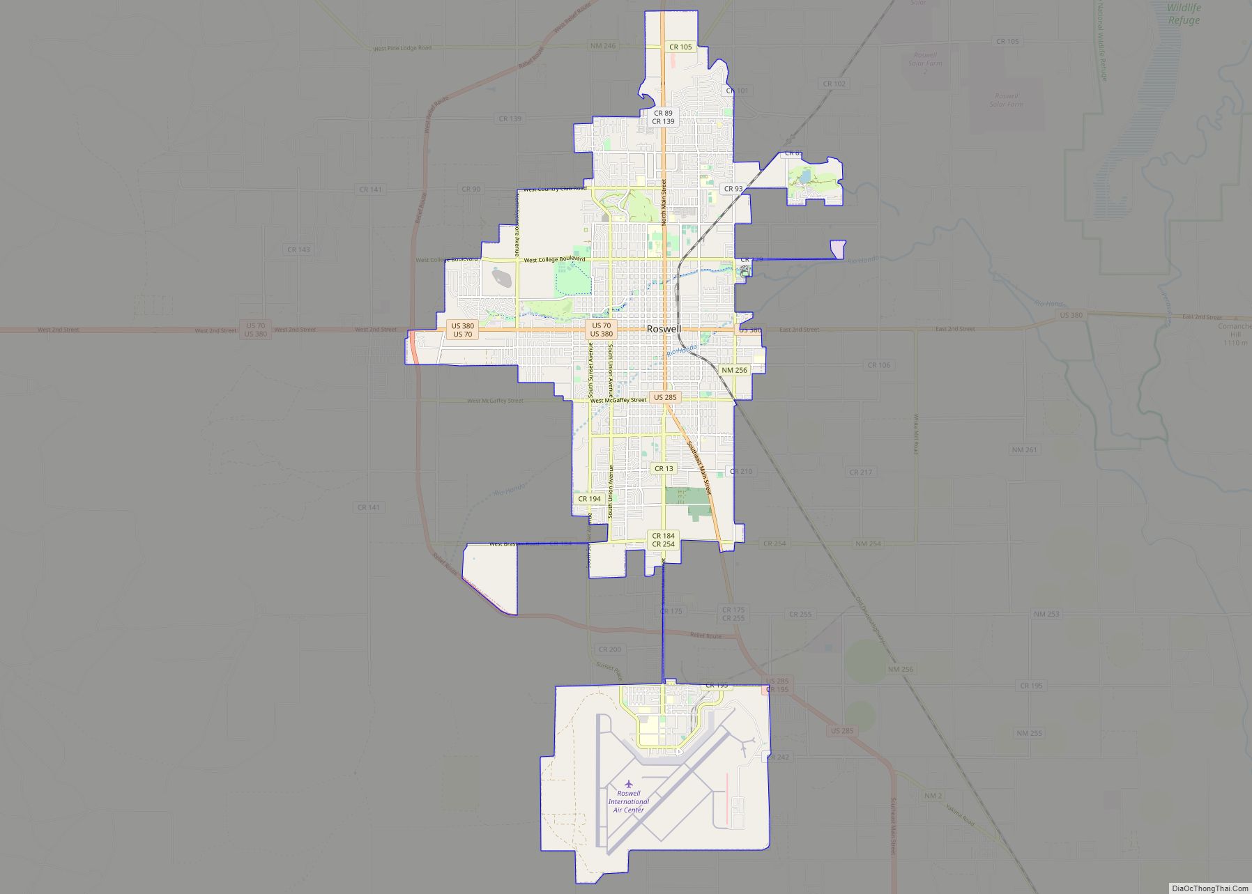
| Seat: | Roswell |
| Largest city: | Roswell |
| Total Area: | 6,075 sq mi (15,730 km²) |
| Land Area: | 6,065 sq mi (15,710 km²) |
| Total Population: | 65,157 |
| Population Density: | 11/sq mi (4/km²) |
| Time zone: | UTC−7 (Mountain) |
| Summer Time Zone (DST): | UTC−6 (MDT) |
| Website: | co.chaves.nm.us |
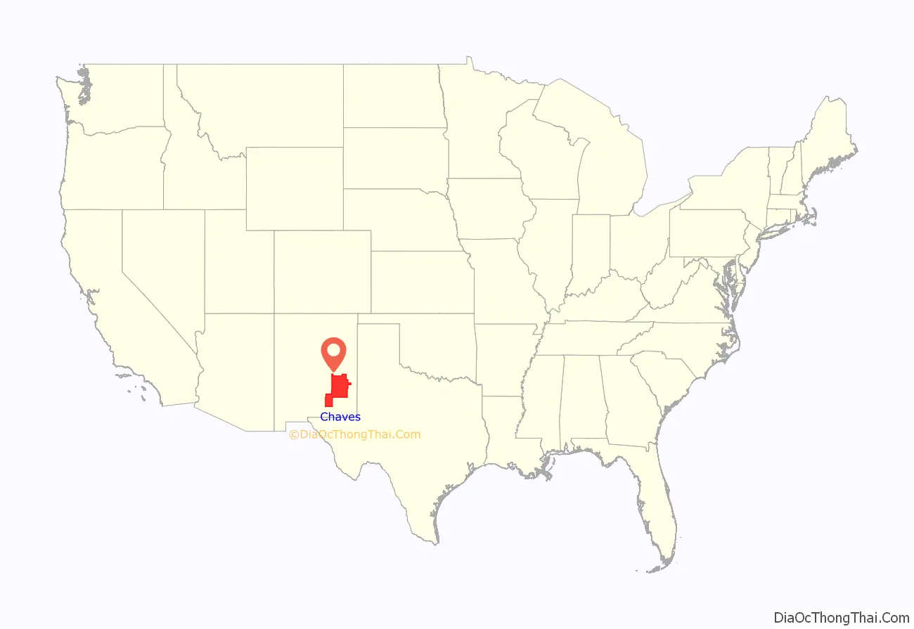
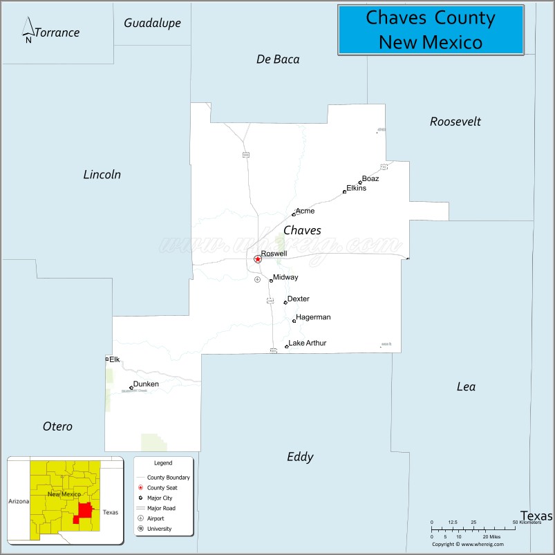
Chaves County location map. Where is Chaves County?
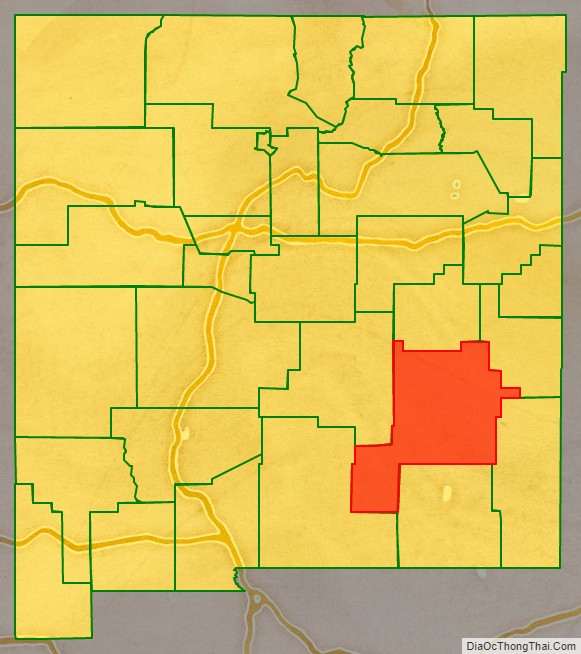
Chaves County Road Map
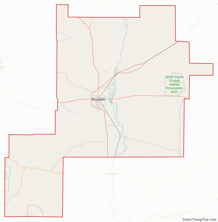
Geography
According to the U.S. Census Bureau, the county has a total area of 6,075 square miles (15,730 km), of which 6,065 square miles (15,710 km) is land and 9.8 square miles (25 km) (0.2%) is water. It is the fourth-largest county in New Mexico by area.
Adjacent counties
- De Baca County – north
- Roosevelt County – northeast
- Lea County – east
- Eddy County – south
- Otero County – southwest
- Lincoln County – west
National protected areas
- Bitter Lake National Wildlife Refuge
- Lincoln National Forest (part)
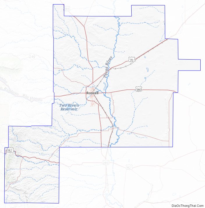
Chaves County Topographic Map
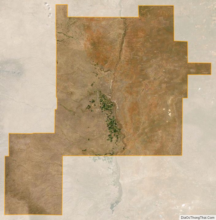
Chaves County Satellite Map
Chaves County Outline Map