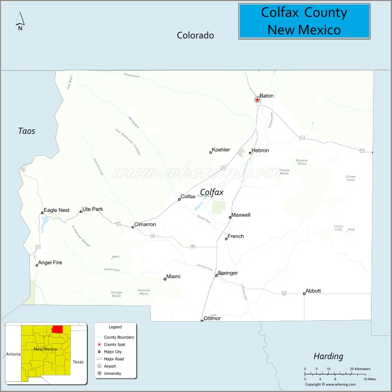
| Name: | Colfax County |
|---|---|
| FIPS code: | 35-007 |
| State: | New Mexico |
| Founded: | January 25, 1869 |
| Named for: | Schuyler Colfax |
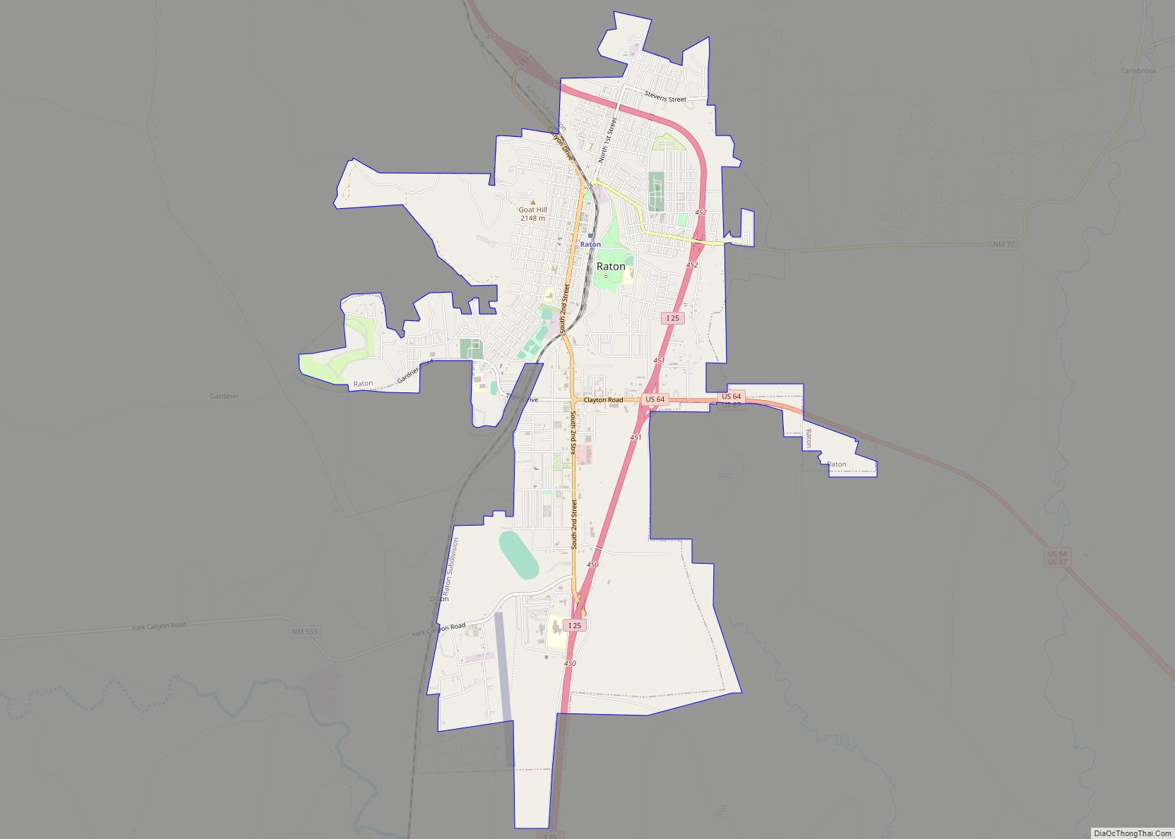
| Seat: | Raton |
| Largest city: | Raton |
| Total Area: | 3,768 sq mi (9,760 km²) |
| Land Area: | 3,758 sq mi (9,730 km²) |
| Total Population: | 12,369 |
| Population Density: | 3.7/sq mi (1.4/km²) |
| Time zone: | UTC−7 (Mountain) |
| Summer Time Zone (DST): | UTC−6 (MDT) |
| Website: | www.co.colfax.nm.us |
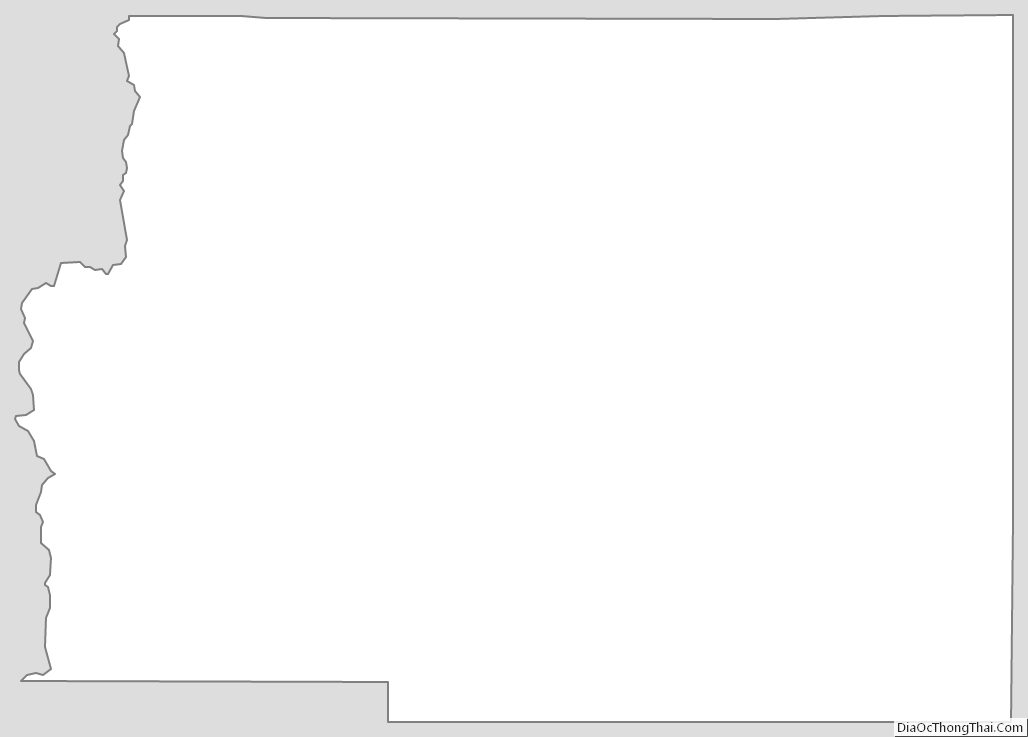
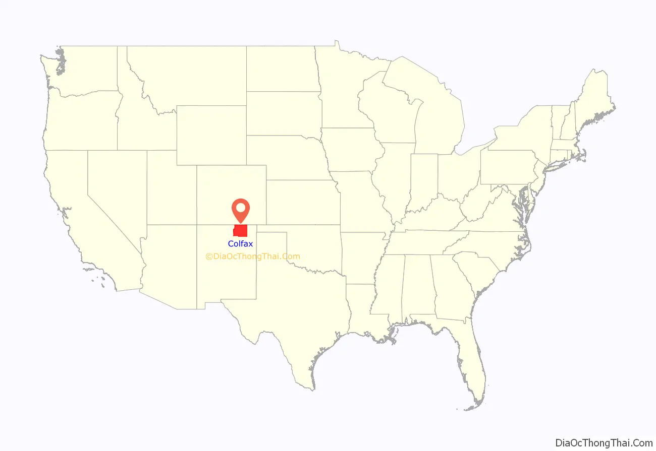
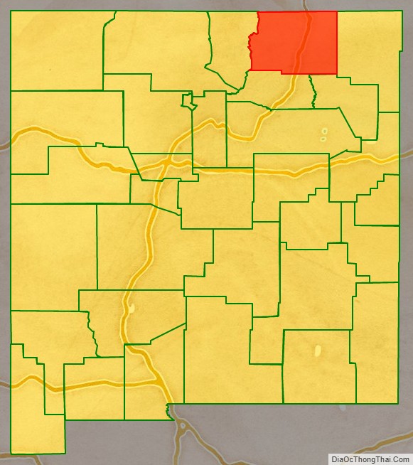
Colfax County location map. Where is Colfax County?
History
Colfax County was originally part of Taos County, one of the original nine counties created by the New Mexico Territory in 1852. In 1859, the eastern part of Taos County, including all of the territory of Colfax County, was split off to form Mora County. Colfax County was established on January 25, 1869, from the northern part of Mora County. The original county seat was the gold mining town of Elizabethtown.
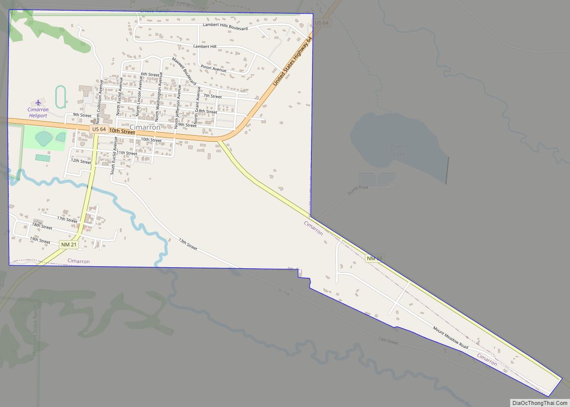
By 1872, when the gold rush in Elizabethtown had died down, the county seat was moved to Cimarron. Cimarron was on the stage coach route along the Mountain Branch of the Santa Fe Trail, and was the headquarters of the Maxwell Land Grant. The Colfax County Courthouse in Cimarron is a contributing structure in the Cimarron Historic District, and is still in use as a Masonic lodge.
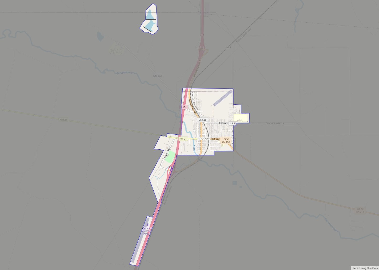
In 1881, the county seat moved from Cimarron to Springer, on the former Atchison, Topeka, and Santa Fe Railroad, since 1996 part of the Burlington Northern Railroad. The Colfax County Courthouse in Springer was the site of one of the last important shoot-outs in the Colfax County War. This former courthouse, which is on the National Register of Historic Places is now a museum devoted to the Santa Fe Trail.
The eastern portions of Colfax, Mora, and San Miguel counties were severed to form Union County in 1893.
After a referendum and a bitter legislative fight, the county seat moved from Springer to Raton in 1897. Raton was an important coal-mining town, and was also a railroad center. The citizens of Raton raised $8000 to pay one third of the costs of a new courthouse. That courthouse was replaced in 1932 by the current Colfax County Courthouse (Raton, New Mexico), an art-deco WPA structure that also is on the National Register of Historic Places.
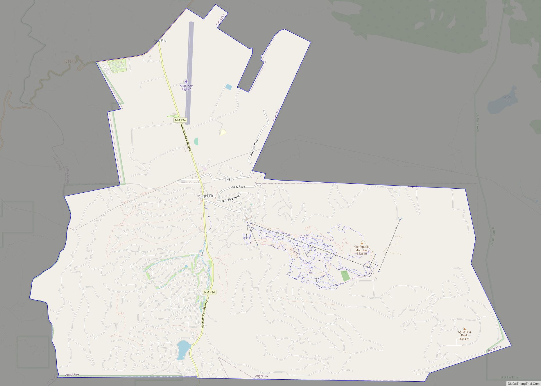
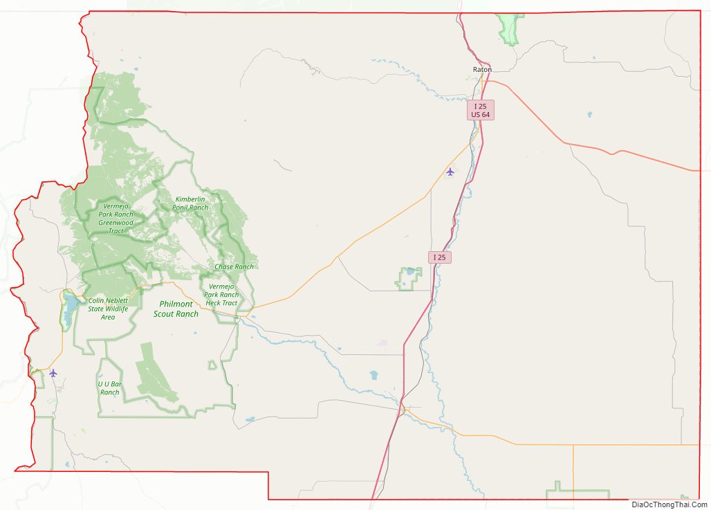
Colfax County Road Map
Geography
According to the U.S. Census Bureau, the county has a total area of 3,768 square miles (9,759 km), of which 3,758 square miles (9,733 km) is land and 10 square miles (26 km) (0.3%) is water.
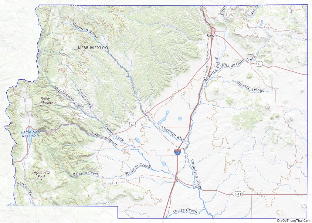
A large portion of the County lies in the Sangre de Cristo Mountains. Geography ranges from prairies, to pinon forests, to alpine meadows.
The County contains numerous state parks, ski resorts, national forests, scenic vistas, and outdoor recreational activities.
Adjacent counties
- Taos County – west
- Mora County – south
- Harding County – south
- Union County – east
- Las Animas County, Colorado – north
- Costilla County, Colorado – northwest
National protected areas
- Carson National Forest (part)
- Kiowa National Grassland (part)
- Maxwell National Wildlife Refuge
Colfax County Topographic Map
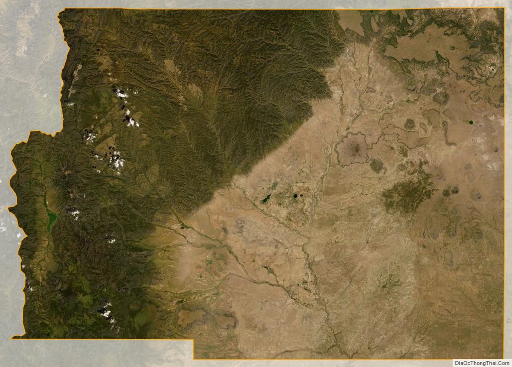
Colfax County Satellite Map
Colfax County Outline Map