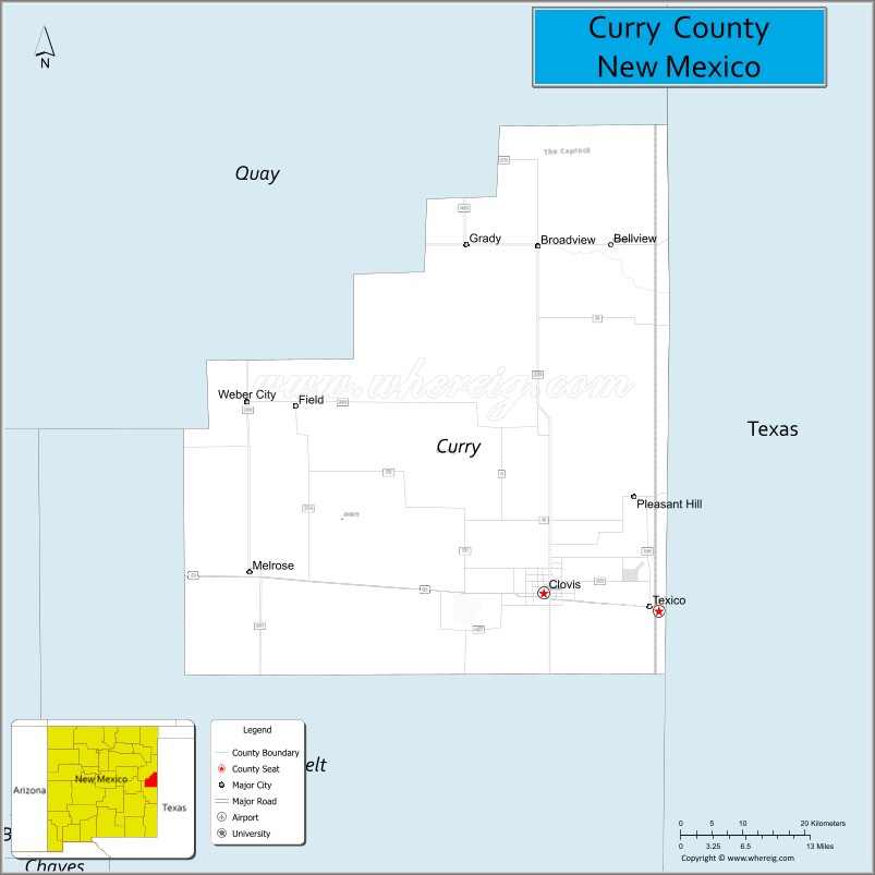
Curry County is a county located in the U.S. state of New Mexico. As of the 2010 census, its population was 48,376. Its county seat is Clovis. The county is named in honor of George Curry, territorial governor of New Mexico from 1907 to 1910.
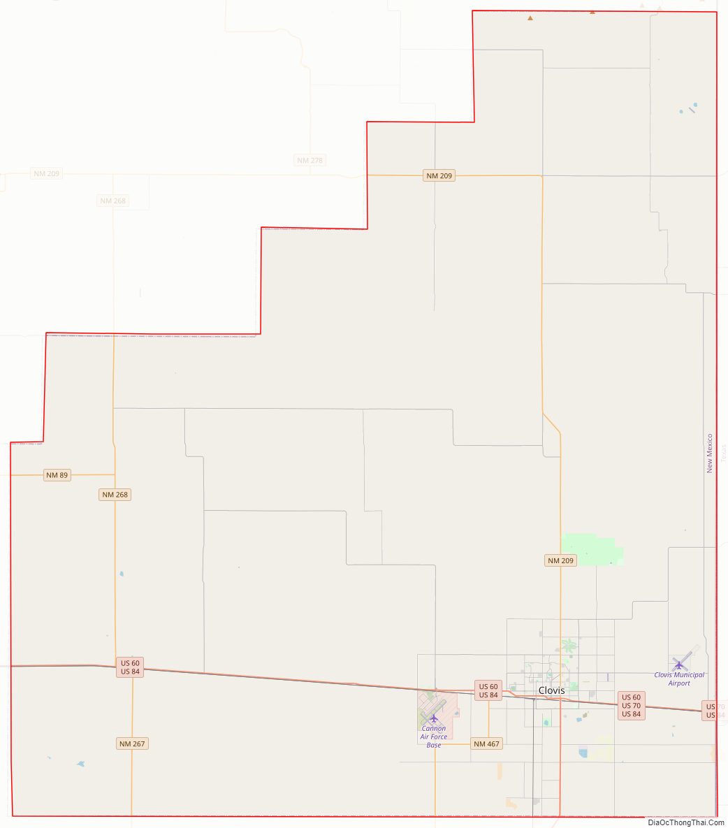
Curry County comprises the Clovis, New Mexico micropolitan statistical area, which is also included in the Clovis–Portales combined statistical area. It is located on the far eastern state line, adjacent to Texas, forming part of the region of Eastern New Mexico.
| Name: | Curry County |
|---|---|
| FIPS code: | 35-009 |
| State: | New Mexico |
| Founded: | February 25, 1909 |
| Named for: | George Curry |
| Seat: | Clovis |
| Largest city: | Clovis |
| Total Area: | 1,408 sq mi (3,650 km²) |
| Land Area: | 1,405 sq mi (3,640 km²) |
| Total Population: | 47,999 |
| Population Density: | 34/sq mi (13/km²) |
| Time zone: | UTC−7 (Mountain) |
| Summer Time Zone (DST): | UTC−6 (MDT) |
| Website: | www.currycounty.org |
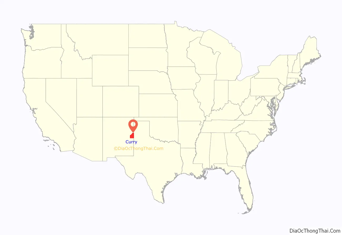
Curry County location map. Where is Curry County?
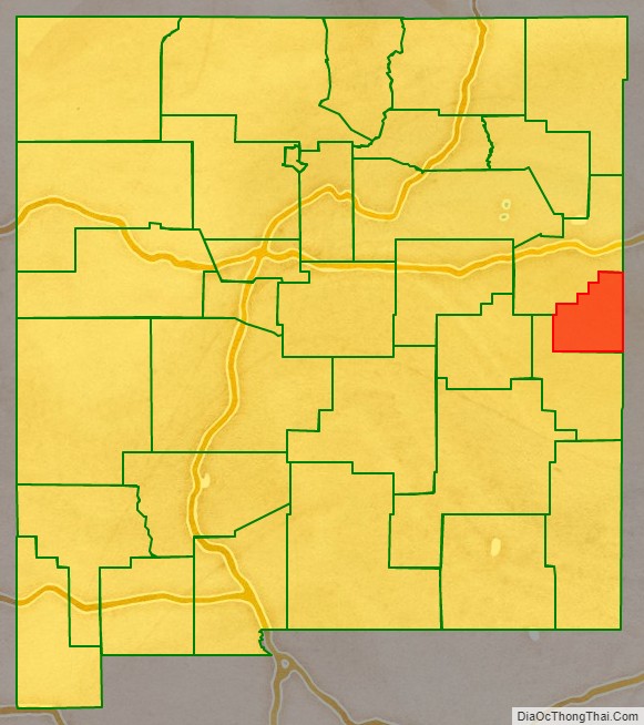
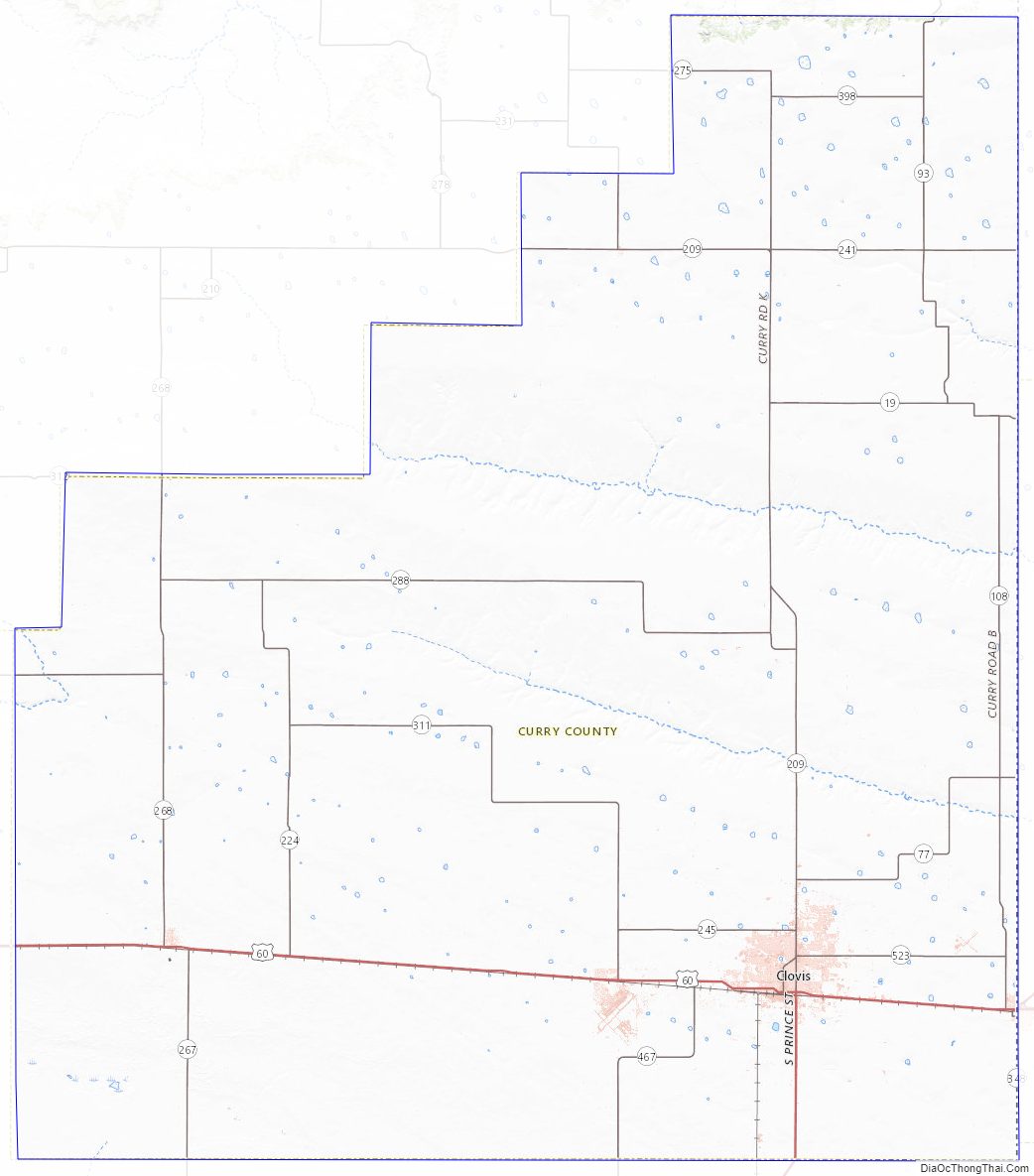
Curry County Road Map
Geography
According to the U.S. Census Bureau, the county has a total area of 1,408 sq mi (3,650 km), of which 1,405 square miles (3,640 km) are land and 3.2 sq mi (8.3 km) (0.2%) are covered by water. It is the fourth-smallest county in New Mexico by area.
Adjacent counties
- Quay County – northwest
- Roosevelt County – south
- Bailey County, Texas – southeast
- Parmer County, Texas – east
- Deaf Smith County, Texas – northeast
Curry County Topographic Map
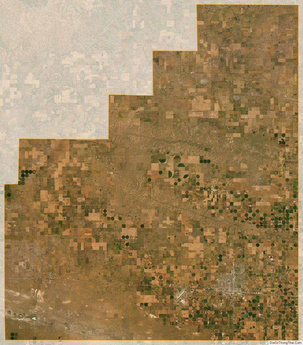
Curry County Satellite Map
Curry County Outline Map