Bernalillo County (/ˌbɜːrnəˈliːjoʊ/; Spanish: Condado de Bernalillo) is the most populous county in the U.S. state of New Mexico. As of the 2020 census, the population was 676,444. The county seat, Albuquerque, is the most populous city in New Mexico.
Bernalillo County is the central county of the Albuquerque, NM Metropolitan Statistical Area.
| Name: | Bernalillo County |
|---|---|
| FIPS code: | 35-001 |
| State: | New Mexico |
| Founded: | 1852 |
| Seat: | Albuquerque |
| Largest city: | Albuquerque |
| Total Area: | 1,167 sq mi (3,020 km²) |
| Land Area: | 1,161 sq mi (3,010 km²) |
| Total Population: | 676,444 |
| Population Density: | 580/sq mi (220/km²) |
| Time zone: | UTC−7 (Mountain) |
| Summer Time Zone (DST): | UTC−6 (MDT) |
| Website: | www.bernco.gov |
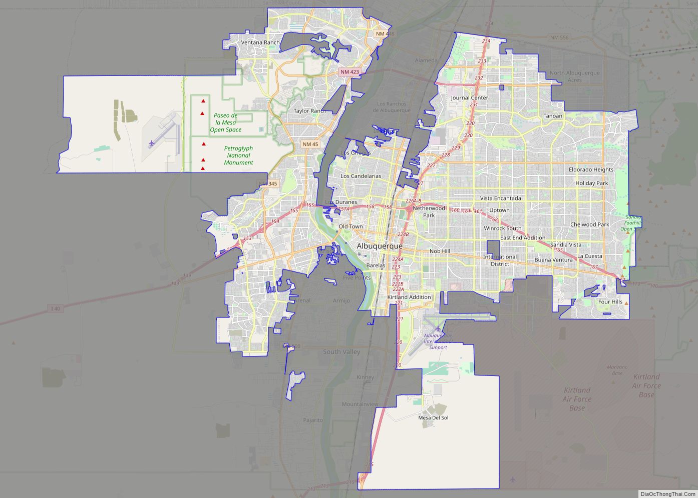
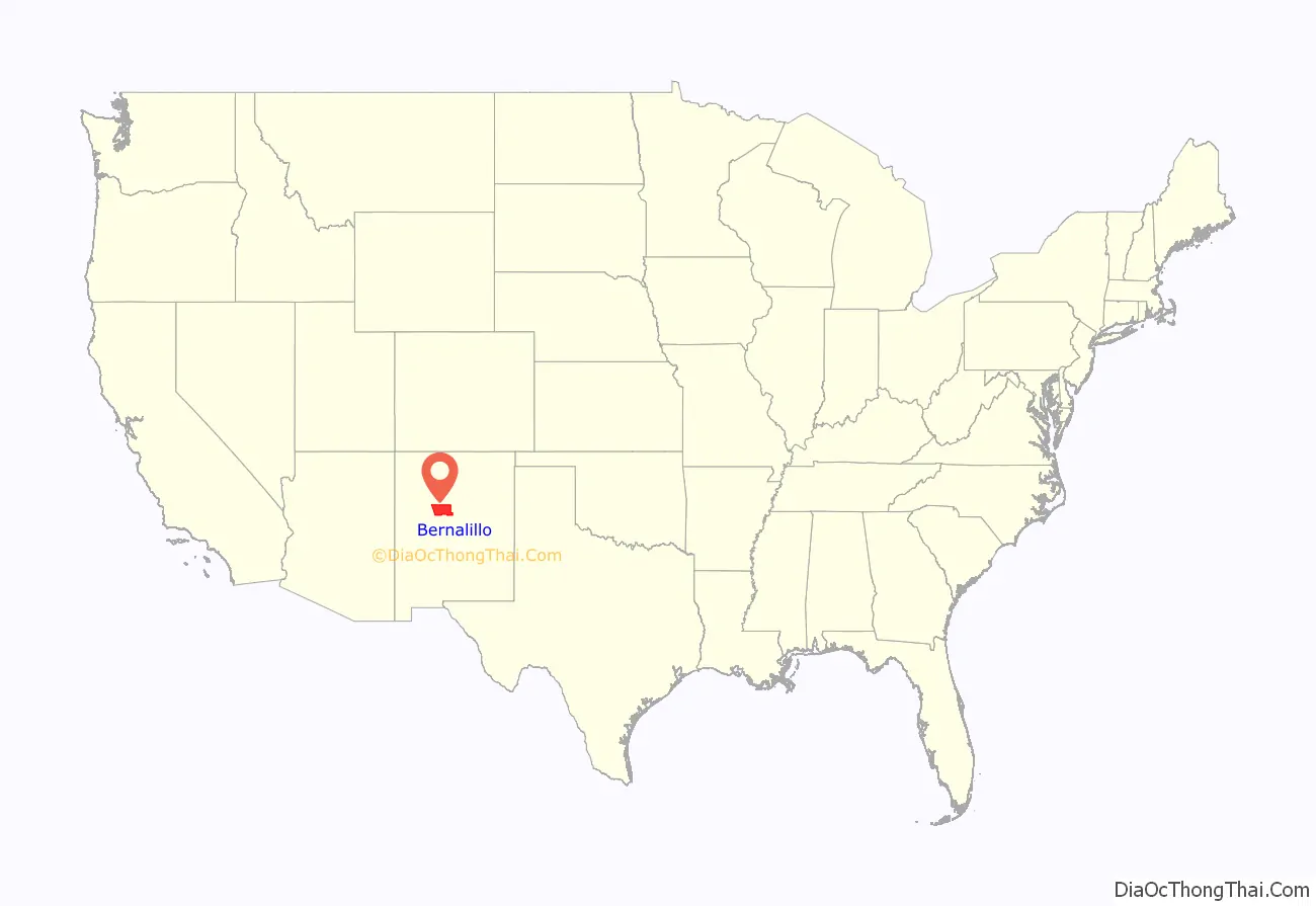
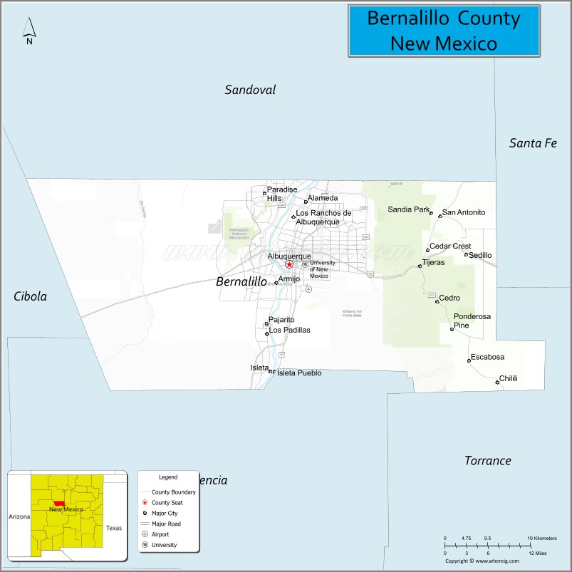
Bernalillo County location map. Where is Bernalillo County?
History
Bernalillo County was one of seven partidos established during Mexican rule; in 1852, within two years of the creation of the New Mexico Territory, Bernalillo became one of that territory’s nine original counties. Bernalillo County was named for the town of Bernalillo, which is currently no longer part of the county. The towns of Los Ranchos de Albuquerque and Bernalillo were previously the county seats, but the capital was finally established in Albuquerque in 1883. In 1876, it absorbed Santa Ana County.
In 1906, years after the Land Revision Act of 1891 provided for the setting aside of forest reserves, the parts of Bernalillo County currently known as Cibola National Forest were established as reserves.
USS LST-306, a World War II tank landing ship that participated in the Allied invasion of Italy, was renamed as USS Bernalillo County in 1955. Sandia Mountain Wilderness was created in 1978 and the Petroglyph National Monument was established in June 1990.
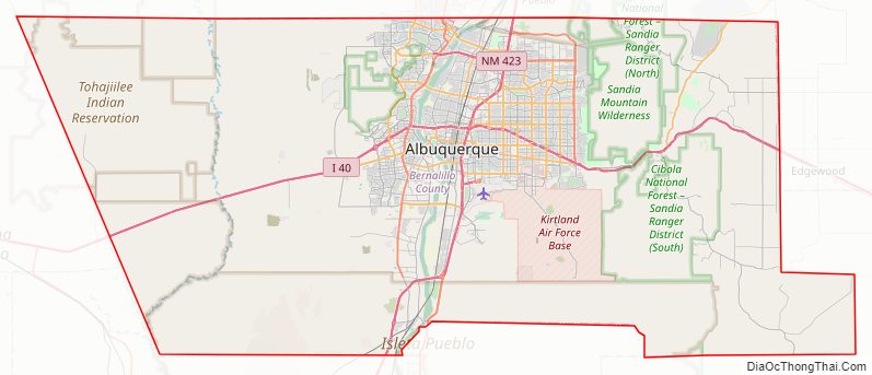
Bernalillo County Road Map
Geography
According to the U.S. Census Bureau, the county has a total area of 1,167 square miles (3,020 km), of which 1,161 square miles (3,010 km) is land and 6.4 square miles (17 km) (0.5%) is water. It is the third-smallest county in New Mexico by area.
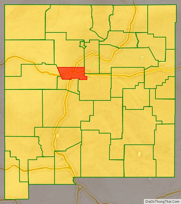
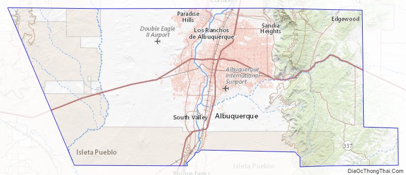
Bernalillo County is in central New Mexico, and “stretches from the East Mountain area (just east of the Sandia Mountains) to the Volcano Cliffs on the west mesa.”
Adjacent counties
- Sandoval County – north
- Santa Fe County – east
- Torrance County – east
- Valencia County – south
- Cibola County – west
National protected areas
- Cibola National Forest (part)
- El Camino Real de Tierra Adentro National Historic Trail (part)
- Petroglyph National Monument
Bernalillo County Topographic Map
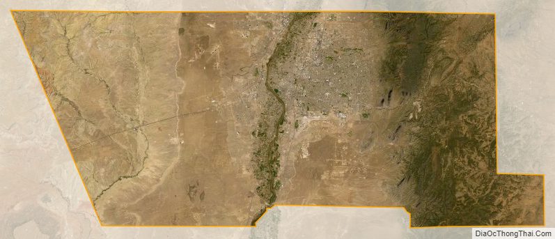
Bernalillo County Satellite Map
Bernalillo County Outline Map