Chernihiv Oblast (Ukrainian: Черні́гівська о́бласть, romanized: Chernihivska oblast), also referred to as Chernihivshchyna (Черні́гівщина), is an oblast (province) in northern Ukraine. The administrative center of the oblast is the city of Chernihiv. Within the oblast are 1,511 settlements. Population: 959,315 (2022 est.).
| Unit Name | Chernihiv Oblast |
|---|---|
| Administrative center | Chernihiv |
| Major cities | Chernihiv, Nizhyn, Pryluky |
| Total area | 31.865 km² (12.303 sq mi) |
| Area Rank | Rank 3rd |
| Population (2021) | 976.701 |
| Time zone | UTC+2 (EET) |
| Summer (DST) | UTC+3 (EEST) |
| Postal code | 14-17xxx |
| Area code | +380 46 |
| ISO 3166 code | UA-74 |
| Website | www.chernigivstat.gov.uachor.gov.ua |
| Flag |  |
| Coat of arms |  |
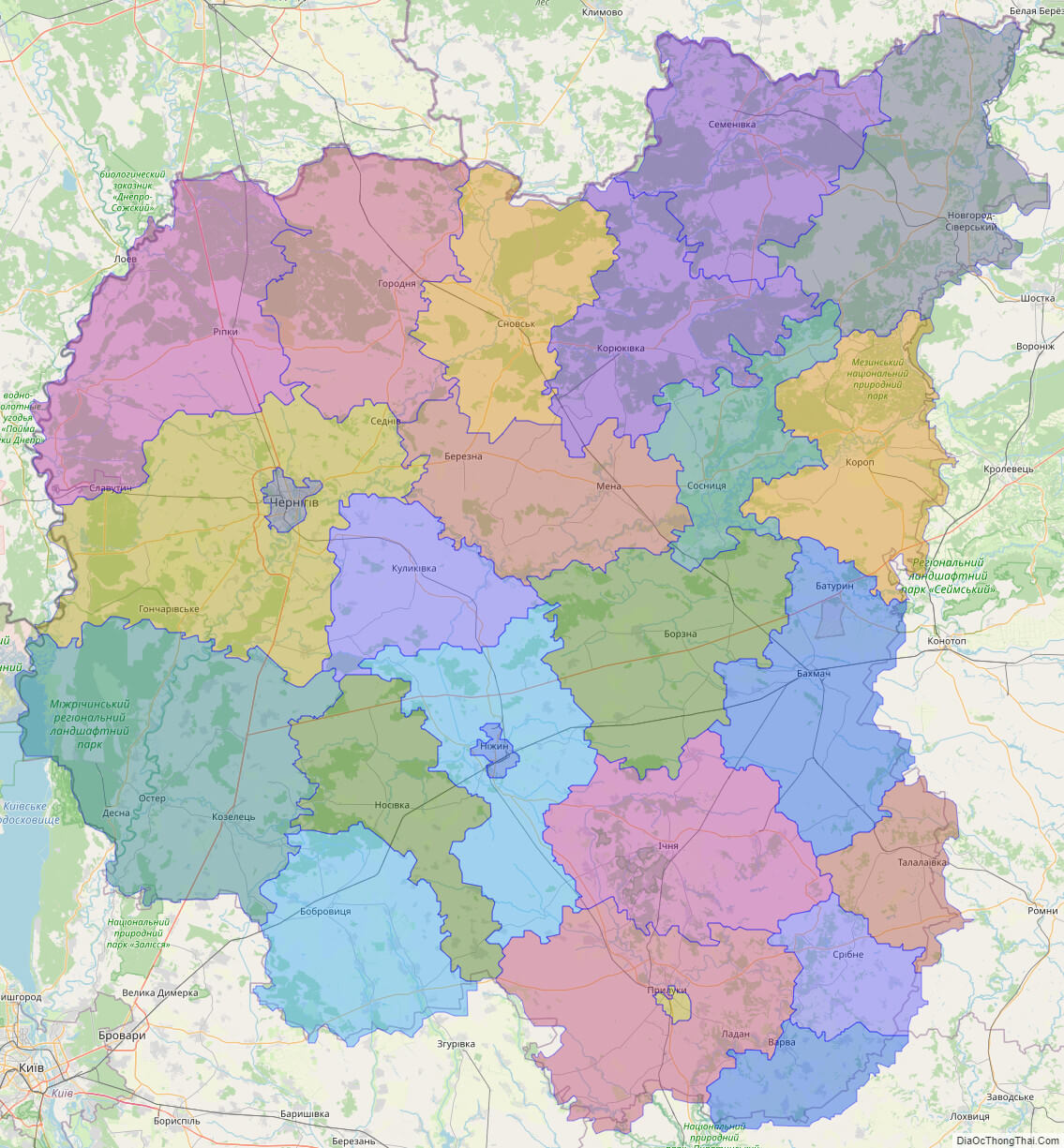
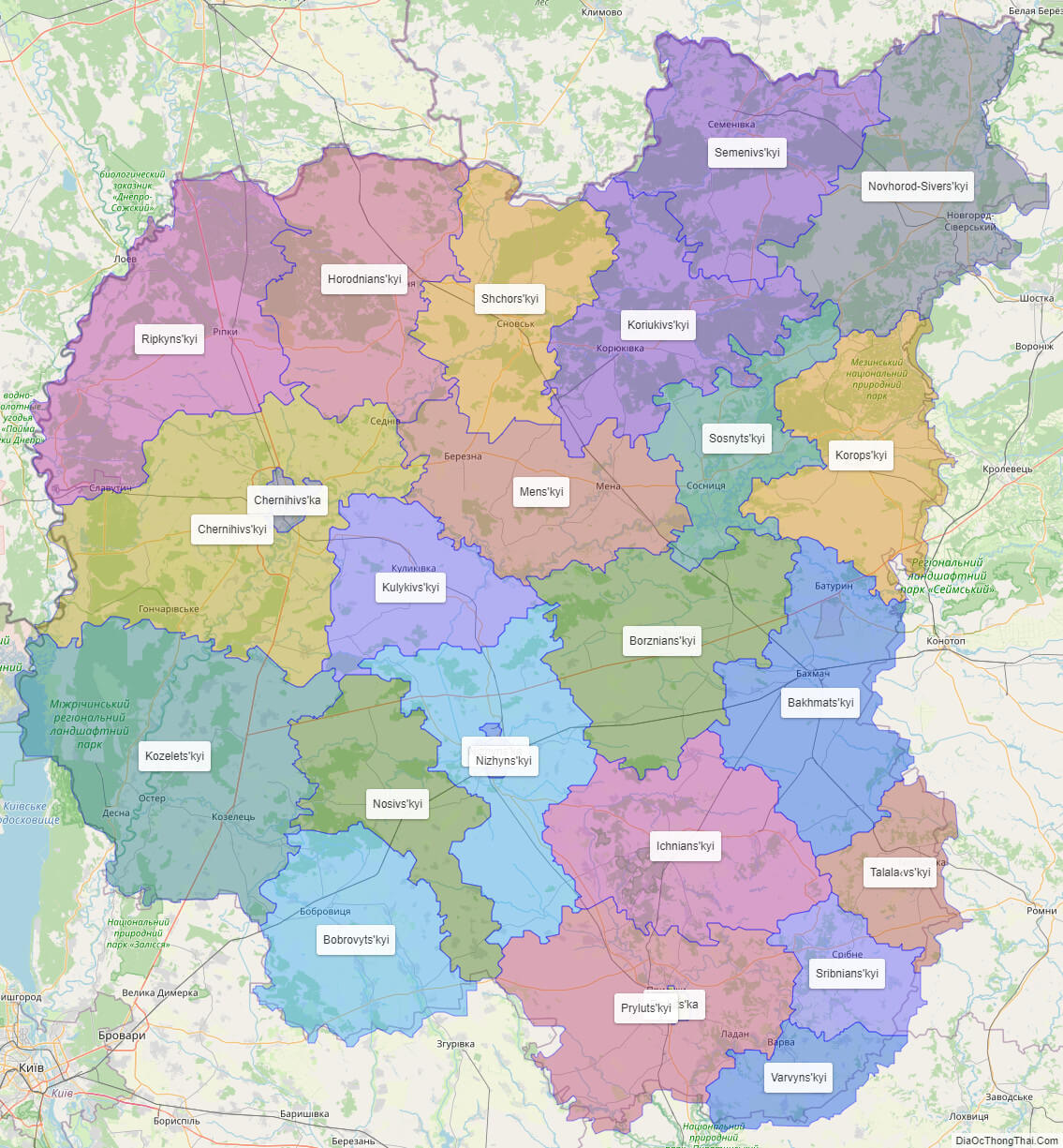
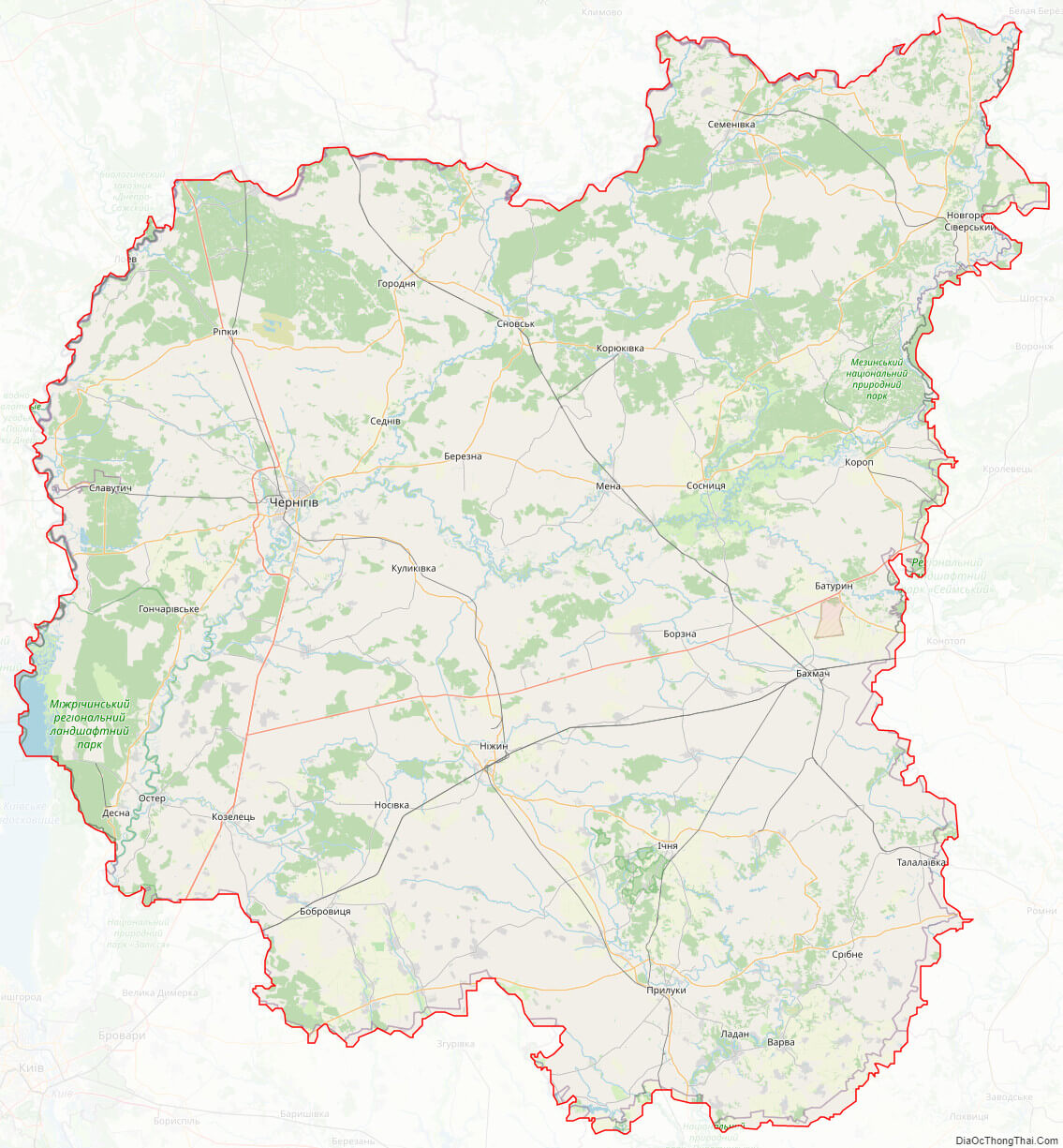
Online subdivision map of Chernihiv oblast
Chernihiv oblast is a region located in northern Ukraine, bordering Belarus. If you want to explore the different sub-administrative units or areas within the oblast, you can use the online subdivision map of Chernihiv. This map is based on Open Street Map and satellite imagery, and allows you to select the base map that you prefer. The map features a cover layer with various colors that indicate the boundaries and borders between the different sub-administrative units. Each unit is covered with a different color, making it easy to distinguish between them.
Using the online subdivision map of Chernihiv, you can zoom in and out to see more details such as street names, buildings, and landmarks. Whether you’re a local resident or a tourist visiting the region, this map is a useful tool to explore and navigate Chernihiv oblast. It provides a clear and detailed overview of the different areas and can help you plan your travels or learn more about the region’s geography and administrative structure.
Click on ![]() to view map in "full screen" mode.
to view map in "full screen" mode.
List administrative sub-division of Chernihiv oblast
| # | Name | Type |
|---|---|---|
| 1 | Chernihivs’ka | Misto |
| 2 | Nizhyns’ka | Misto |
| 3 | Pryluts’ka | Misto |
| 4 | Bakhmats’kyi | Raion |
| 5 | Bobrovyts’kyi | Raion |
| 6 | Borznians’kyi | Raion |
| 7 | Chernihivs’kyi | Raion |
| 8 | Horodnians’kyi | Raion |
| 9 | Ichnians’kyi | Raion |
| 10 | Koriukivs’kyi | Raion |
| 11 | Korops’kyi | Raion |
| 12 | Kozelets’kyi | Raion |
| 13 | Kulykivs’kyi | Raion |
| 14 | Mens’kyi | Raion |
| 15 | Nizhyns’kyi | Raion |
| 16 | Nosivs’kyi | Raion |
| 17 | Novhorod-Sivers’kyi | Raion |
| 18 | Pryluts’kyi | Raion |
| 19 | Ripkyns’kyi | Raion |
| 20 | Semenivs’kyi | Raion |
| 21 | Shchors’kyi | Raion |
| 22 | Sosnyts’kyi | Raion |
| 23 | Sribnians’kyi | Raion |
| 24 | Talala‹vs’kyi | Raion |
| 25 | Varvyns’kyi | Raion |
Explaination:
- Mis’ka Rada: City municipalities (governed by a mayor and a city council)
- Misto: city at least 10,000 people (not a town).
- Raion: often translated as “district”.
Location map of Chernihiv oblast, Ukraine


Political map of Chernihiv oblast
Detail map of Chernihiv oblast
Chernihiv oblast streeet map
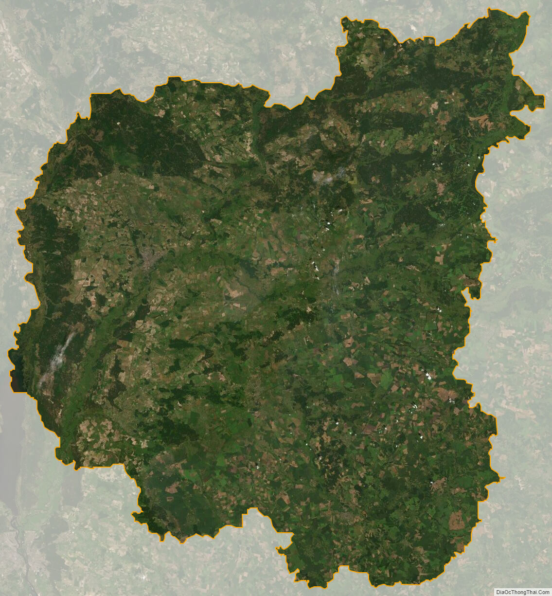
Chernihiv oblast satellite map