Chowan County (/tʃoʊˈwɒn/) is one of the 100 counties located in the U.S. state of North Carolina. As of the 2020 census, the population was 13,708. Its county seat is Edenton. The county was created between 1668 and 1671 as Shaftesbury Precinct and later renamed Chowan Precinct. It gained county status in 1739.
| Name: | Chowan County |
|---|---|
| FIPS code: | 37-041 |
| State: | North Carolina |
| Founded: | 1668 |
| Named for: | Chowanoc Indian Tribe |
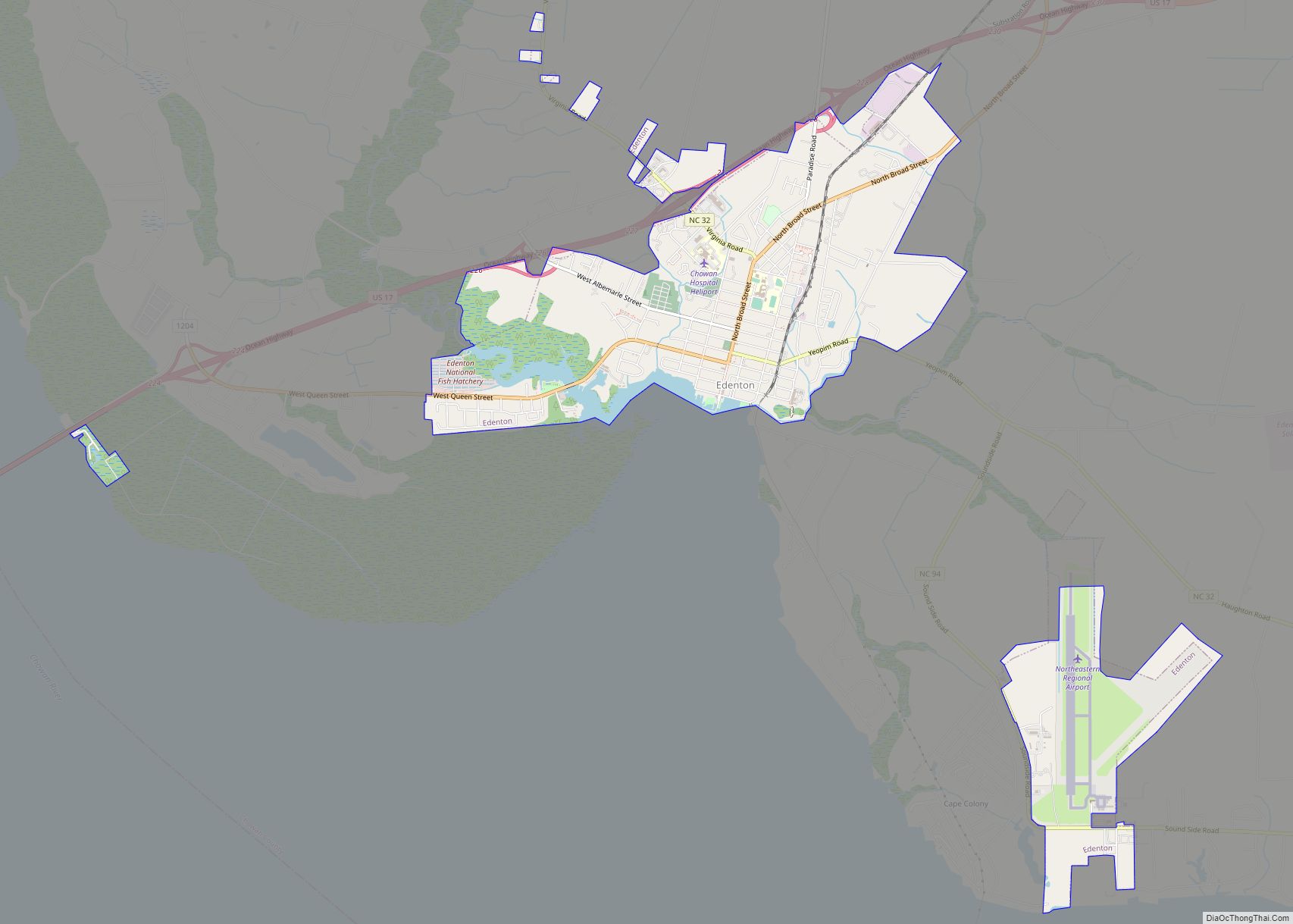
| Seat: | Edenton |
| Largest town: | Edenton |
| Total Area: | 233 sq mi (600 km²) |
| Land Area: | 172 sq mi (450 km²) |
| Total Population: | 13,722 |
| Population Density: | 79.8/sq mi (30.8/km²) |
| Time zone: | UTC−5 (Eastern) |
| Summer Time Zone (DST): | UTC−4 (EDT) |
| Website: | www.chowancounty-nc.gov |
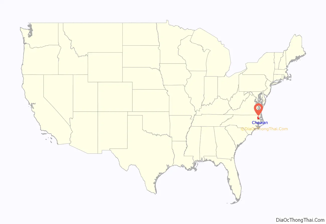
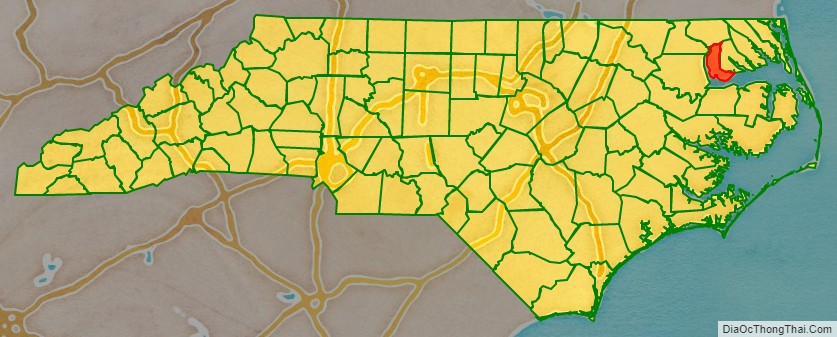
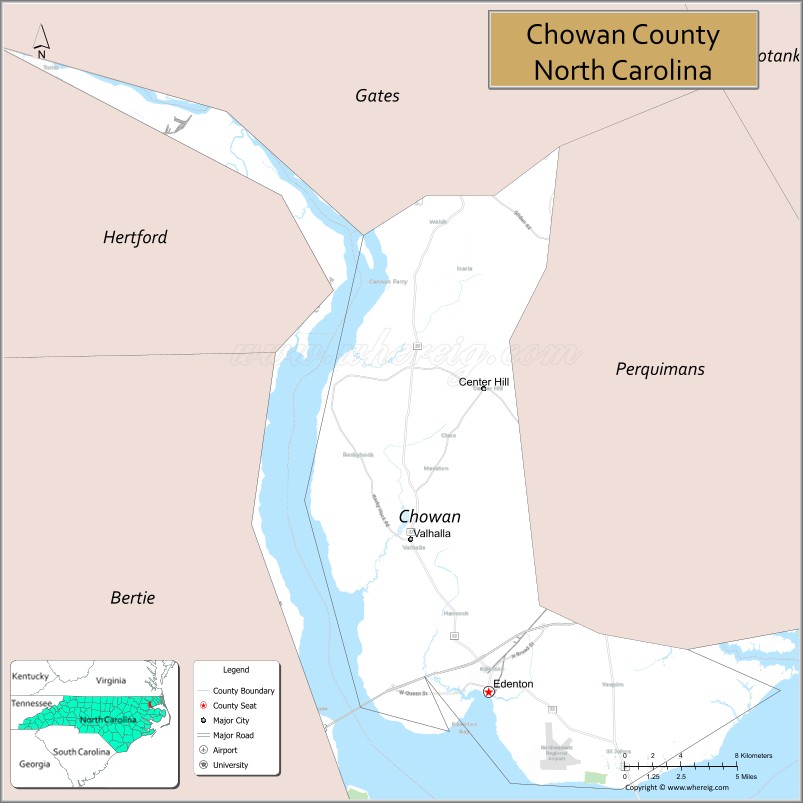
Chowan County location map. Where is Chowan County?
History
Chowan was formed in 1670 as a precinct, originally called Shaftesbury, in Albemarle County. By 1685 it had been renamed for the Chowan Indian tribe, which lived in the northeastern part of the Carolina Colony.
Chowan County is in the northeastern section of the State and is bounded by Albemarle Sound, Chowan River, and the counties of Bertie, Hertford, Gates, and Perquimans. The present land area is 172.64 square miles and the 2000 population was 14,150.
In 1720, Edenton, which was named in honor of Governor Charles Eden, was established. In 1722 it was designated, and has continued to be, the county seat.
During the American Civil War, the Albemarle Artillery was recruited in 1862 from Chowan and Tyrrell men at Edenton by local attorney William Badham, Jr. After cannons were recast from bronze donated as bells from local courthouses and churches to arm the battery, the unit was renamed the Edenton Bell Battery. They named their cannon: Columbia, St. Paul, Fannie Roulac, and Edenton. Two of the guns, long thought lost, have been returned to Edenton in recent years. The St. Paul and the Edenton now can be seen on display at Edenton’s waterfront park. The county was named after the historical Chowanoc American Indian tribe, also called Chowan.
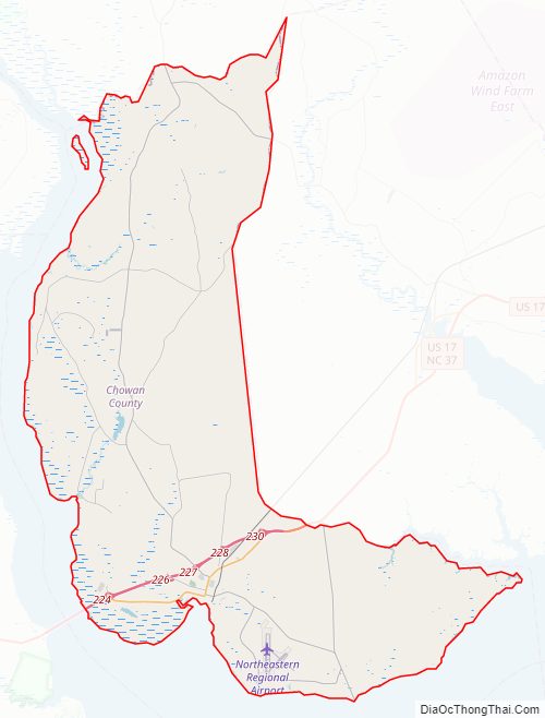
Chowan County Road Map
Geography
According to the U.S. Census Bureau, the county has a total area of 233 square miles (600 km), of which 172 square miles (450 km) is land and 61 square miles (160 km) (26%) is water. It is the smallest county in North Carolina by land area and third-smallest by total area.
State and local protected sites
- Historic Edenton
- James Iredell House
Major water bodies
- Albemarle Sound
- Chowan River
Adjacent counties
- Gates County – north
- Perquimans County – east
- Washington County – south
- Bertie County – west
- Hertford County – northwest
Major highways
- Future I-87 (Concurrency with US 17)
- US 17
- US 17 Bus.
- NC 32
- NC 37
- NC 94
Major infrastructure
- Northeastern Reginal Airport
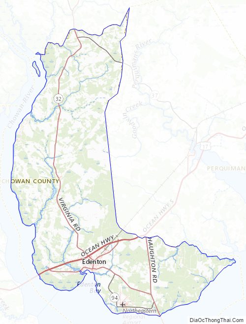
Chowan County Topographic Map
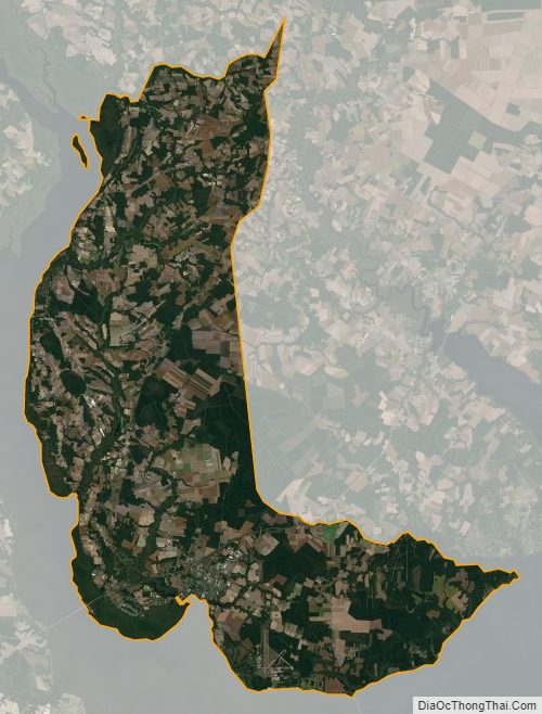
Chowan County Satellite Map
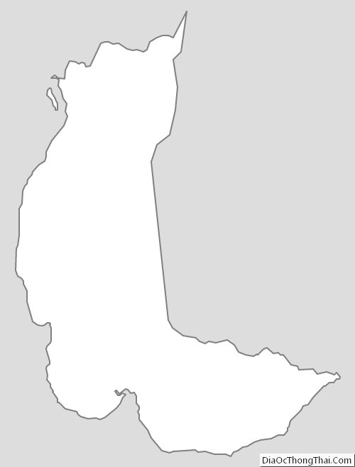
Chowan County Outline Map