Hertford County is a county located in the U.S. state of North Carolina. As of the 2020 census, the population was 21,552. Its county seat is Winton. It is classified within the region known in the 21st century as the Inner Banks.
| Name: | Hertford County |
|---|---|
| FIPS code: | 37-091 |
| State: | North Carolina |
| Founded: | 1759 |
| Named for: | Francis Seymour-Conway, 1st Marquess of Hertford |
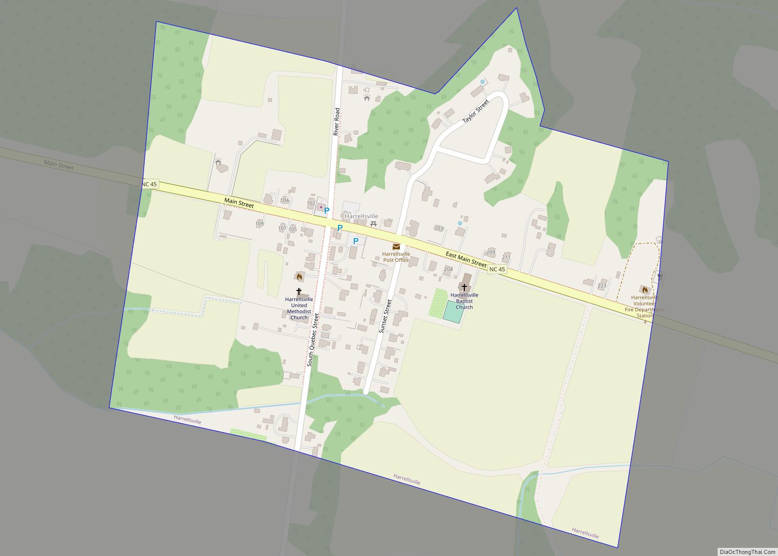
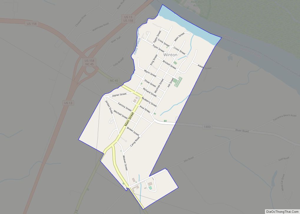
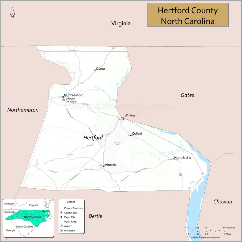
| Seat: | Winton |
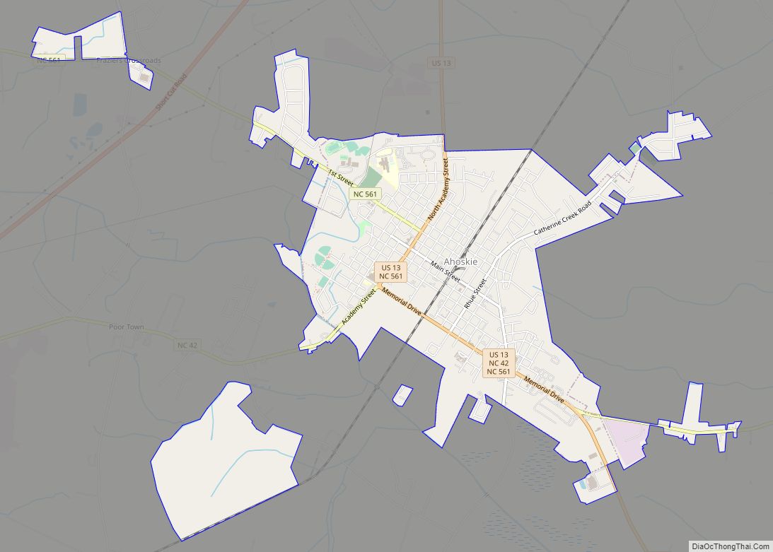
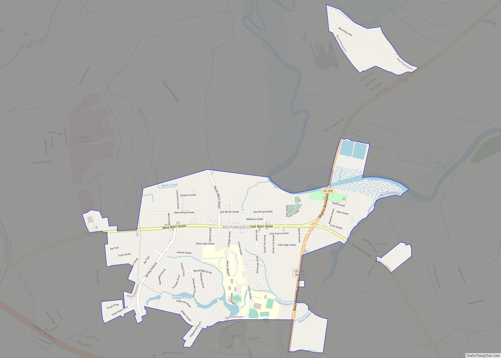
| Largest town: | Ahoskie |
| Total Area: | 360 sq mi (900 km²) |
| Land Area: | 353 sq mi (910 km²) |
| Total Population: | 21,552 |
| Population Density: | 60/sq mi (23/km²) |
| Time zone: | UTC−5 (Eastern) |
| Summer Time Zone (DST): | UTC−4 (EDT) |
| Website: | www.hertfordcountync.gov |
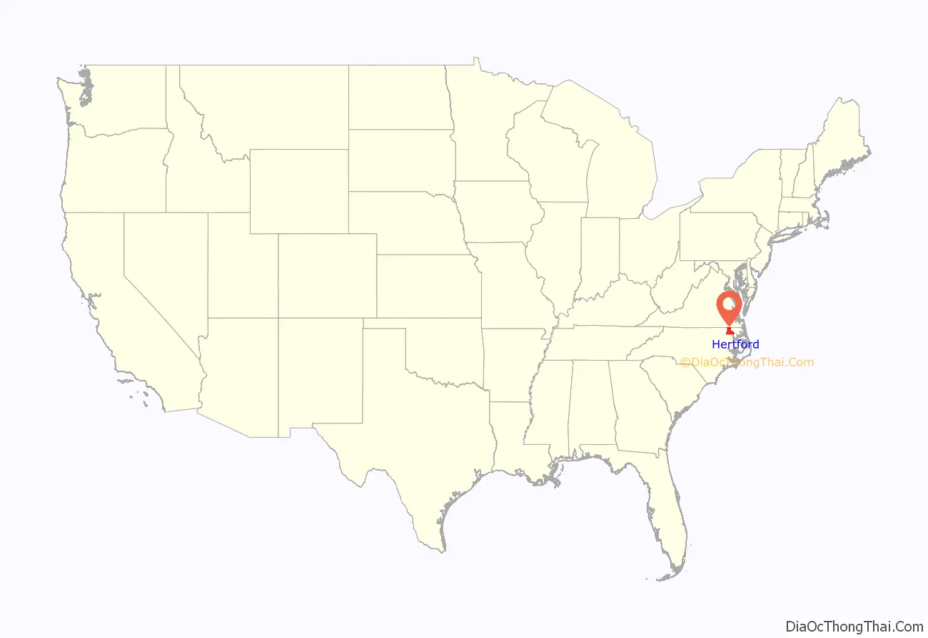
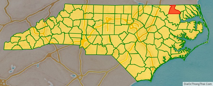
Hertford County location map. Where is Hertford County?
History
Hertford County is home of the Meherrin Indian Tribe, descendants of indigenous people who had inhabited the region for many centuries. After decades of encroachment by English colonists, the Tribe moved south from Virginia, where they settled in 1706 on a reservation abandoned by the Chowanoke. This six-square-mile reservation was at Parker’s Ferry near the mouth of the Meherrin River. It was confirmed by a treaty of 1726. However, they were not able to keep the reservation lands.
The Tribe today has approximately 900 enrolled members, most living within 10–15 miles of the former reservation. The tribe is recognized by the state and is seeking Federal recognition. The Meherrin have an annual Pow Wow at the end of October.
The county was formed in 1759 from parts of Bertie County, Chowan County, and Northampton County. It was named for Francis Seymour-Conway, 1st Earl of Hertford, later 1st Marquess of Hertford.
In 1779 the northeastern part of Hertford County was combined with parts of Chowan County and Perquimans County to form Gates County.
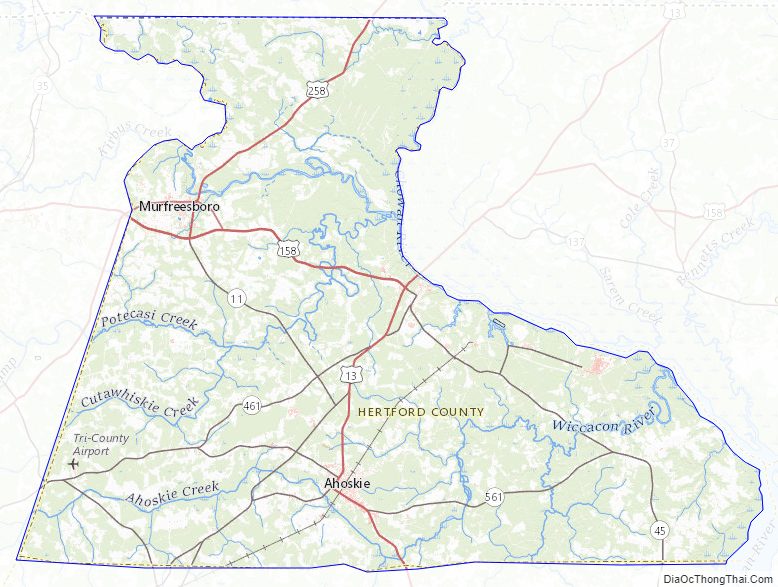
Hertford County Road Map
Geography
According to the U.S. Census Bureau, the county has a total area of 360 square miles (930 km), of which 353 square miles (910 km) is land and 7.3 square miles (19 km) (2.0%) is water.
Major water bodies
- Ahoskie River
- Cutawhiskie Creek
- Chowan River
- Indian Creek
- Meherrin River
- Panther Creek
- Potecasi Creek
- Tukey Creek
- Turnpike Branch
- Wiccacon River
Adjacent counties
- Southampton County, Virginia – north
- Gates County – east
- Chowan County – southeast
- Bertie County – south
- Northampton County – west
Major highways
- US 13
- US 158
- US 158 Bus.
- US 258
- NC 11
- NC 35
- NC 42
- NC 45
- NC 305
- NC 461
- NC 561
Major infrastructure
- Parker’s Ferry, River ferry across the Meherrin River.
Hertford County Topographic Map
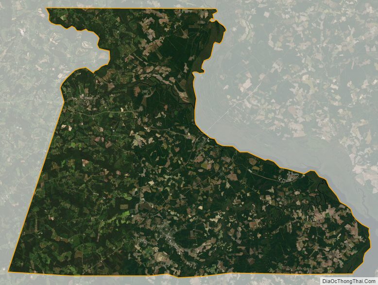
Hertford County Satellite Map
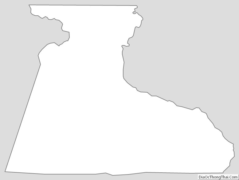
Hertford County Outline Map