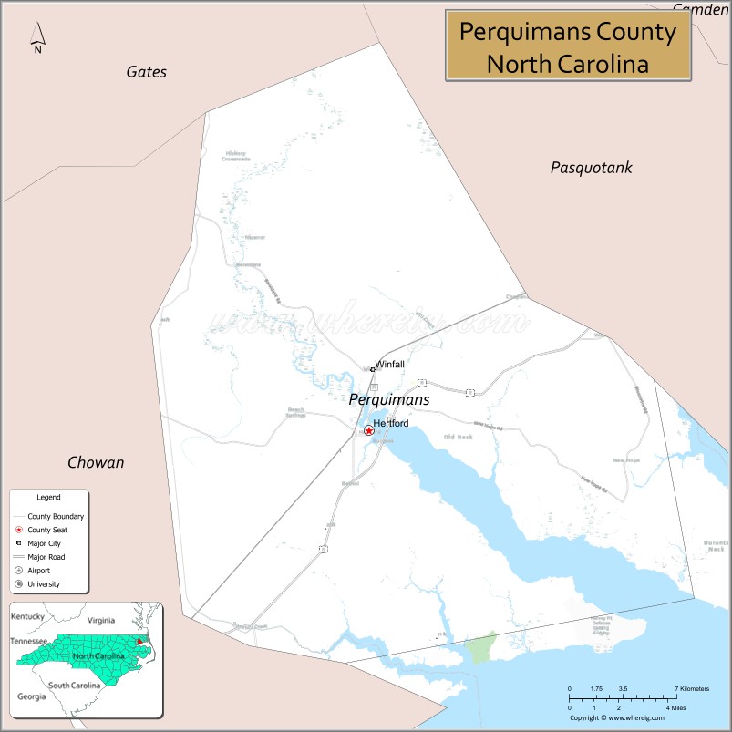
Perquimans County (/pɜːrˈkwɪmənz/) is a county located in the U.S. state of North Carolina. As of the 2020 census, the population was 13,005. Its county seat is Hertford. The county was originally created as Berkeley Precinct. It was renamed Perquimans Precinct around 1684 and gained county status in 1739. Perquimans County is part of the Elizabeth City, NC Micropolitan Statistical Area, which is also included in the Virginia Beach-Norfolk, VA-NC Combined Statistical Area. The Harvey Point Defense Testing Activity facility is located in Perquimans County.
| Name: | Perquimans County |
|---|---|
| FIPS code: | 37-143 |
| State: | North Carolina |
| Founded: | 1668 |
| Named for: | Yeopim word meaning “The land of beautiful women” |
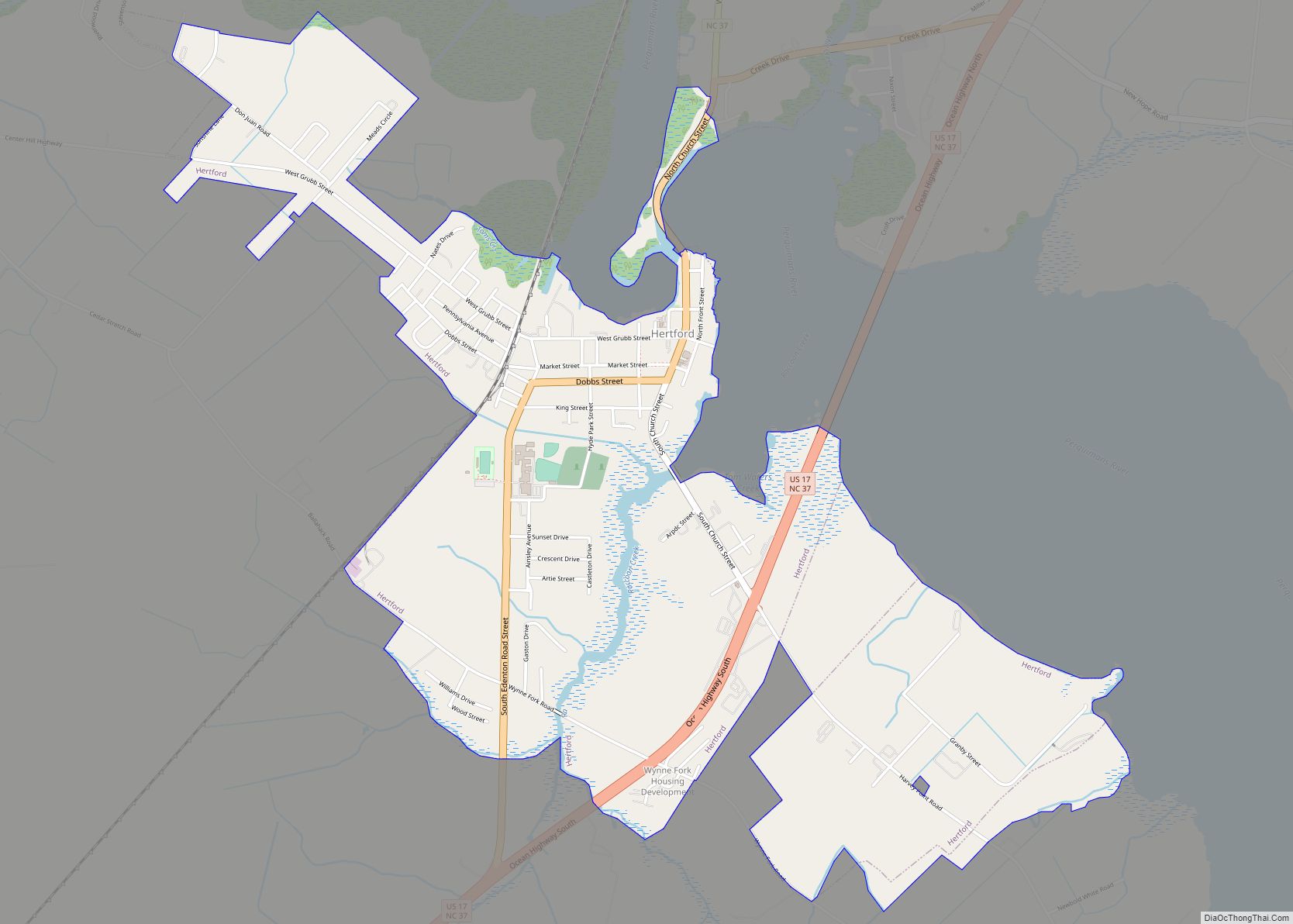
| Seat: | Hertford |
| Largest town: | Hertford |
| Total Area: | 329 sq mi (850 km²) |
| Land Area: | 247 sq mi (640 km²) |
| Total Population: | 13,130 |
| Population Density: | 53.2/sq mi (20.5/km²) |
| Time zone: | UTC−5 (Eastern) |
| Summer Time Zone (DST): | UTC−4 (EDT) |
| Website: | www.perquimanscountync.gov |
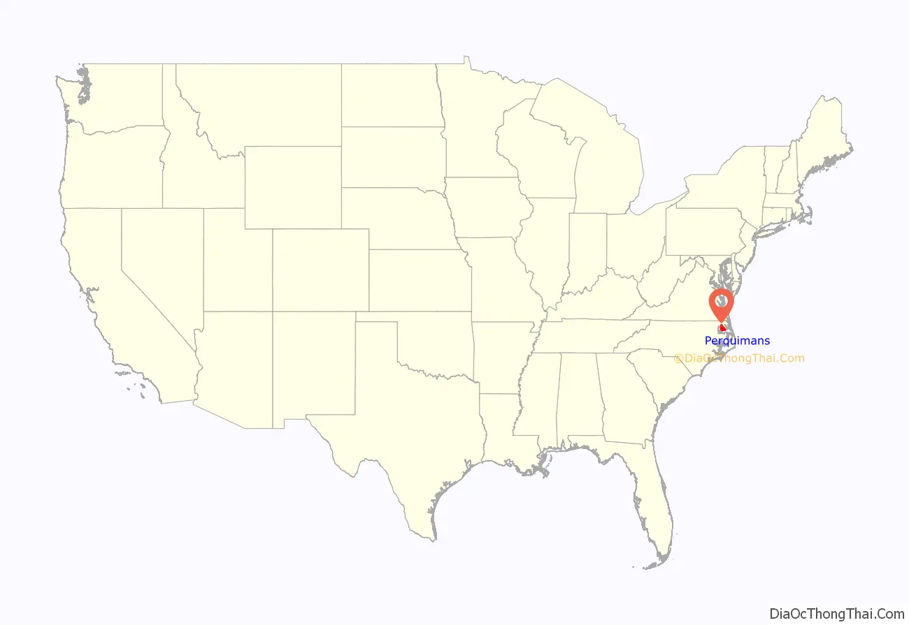
Perquimans County location map. Where is Perquimans County?

Perquimans County Road Map
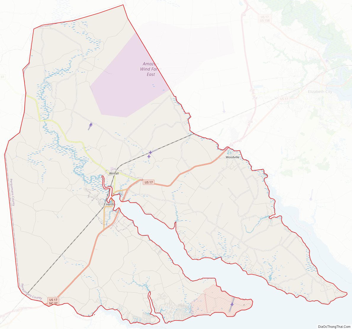
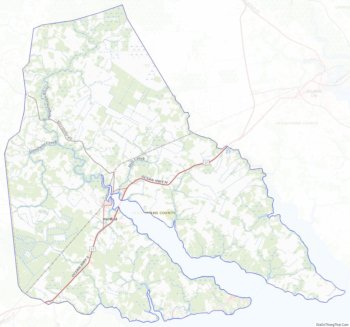
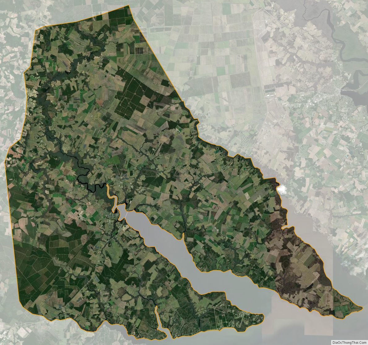
Geography
According to the U.S. Census Bureau, the county has a total area of 329 square miles (850 km), of which 247 square miles (640 km) is land and 82 square miles (210 km) (25%) is water.
Courthouse and the Jim “Catfish” Hunter Memorial
The Perquimans River and the “S” Bridge.
Major water bodies
- Albemarle Sound
- Little River
- Perquimans River
Adjacent Counties
- Tyrrell County – south
- Washington County – south
- Pasquotank County – east
- Chowan County – southwest
- Gates County – northwest
Major highways
- Future I-87 (Concurrency with US 17)
- US 17
- US 17 Bus.
- NC 37
Perquimans County Topographic Map
Perquimans County Satellite Map
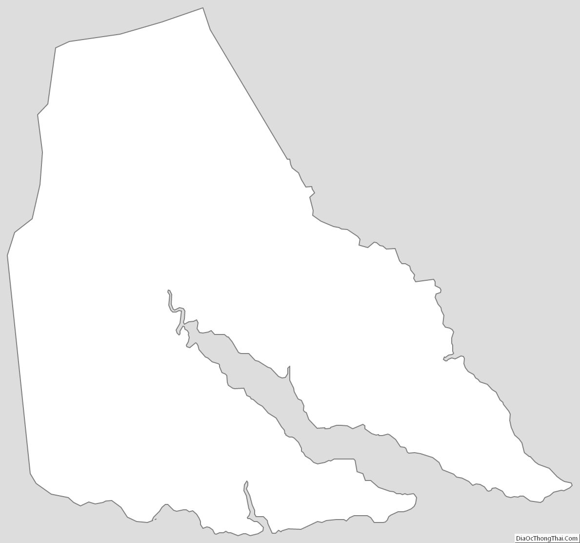
Perquimans County Outline Map