Clarke County is located in the northeastern part of the U.S. state of Georgia. As of the 2020 census, the population was 128,671. Its county seat is Athens, with which it is a consolidated city-county.
Clarke County is included in the Athens-Clarke County, GA Metropolitan Statistical Area, which is also included in the Atlanta-Athens-Clarke County-Sandy Springs, GA Combined Statistical Area.
| Name: | Clarke County |
|---|---|
| FIPS code: | 13-059 |
| State: | Georgia |
| Founded: | 1801 |
| Named for: | Elijah Clarke |
| Seat: | Athens |
| Largest city: | Athens |
| Total Area: | 121 sq mi (310 km²) |
| Land Area: | 119 sq mi (310 km²) |
| Total Population: | 128,671 |
| Population Density: | 1,081/sq mi (417/km²) |
| Time zone: | UTC−5 (Eastern) |
| Summer Time Zone (DST): | UTC−4 (EDT) |
| Website: | www.athensclarkecounty.com |
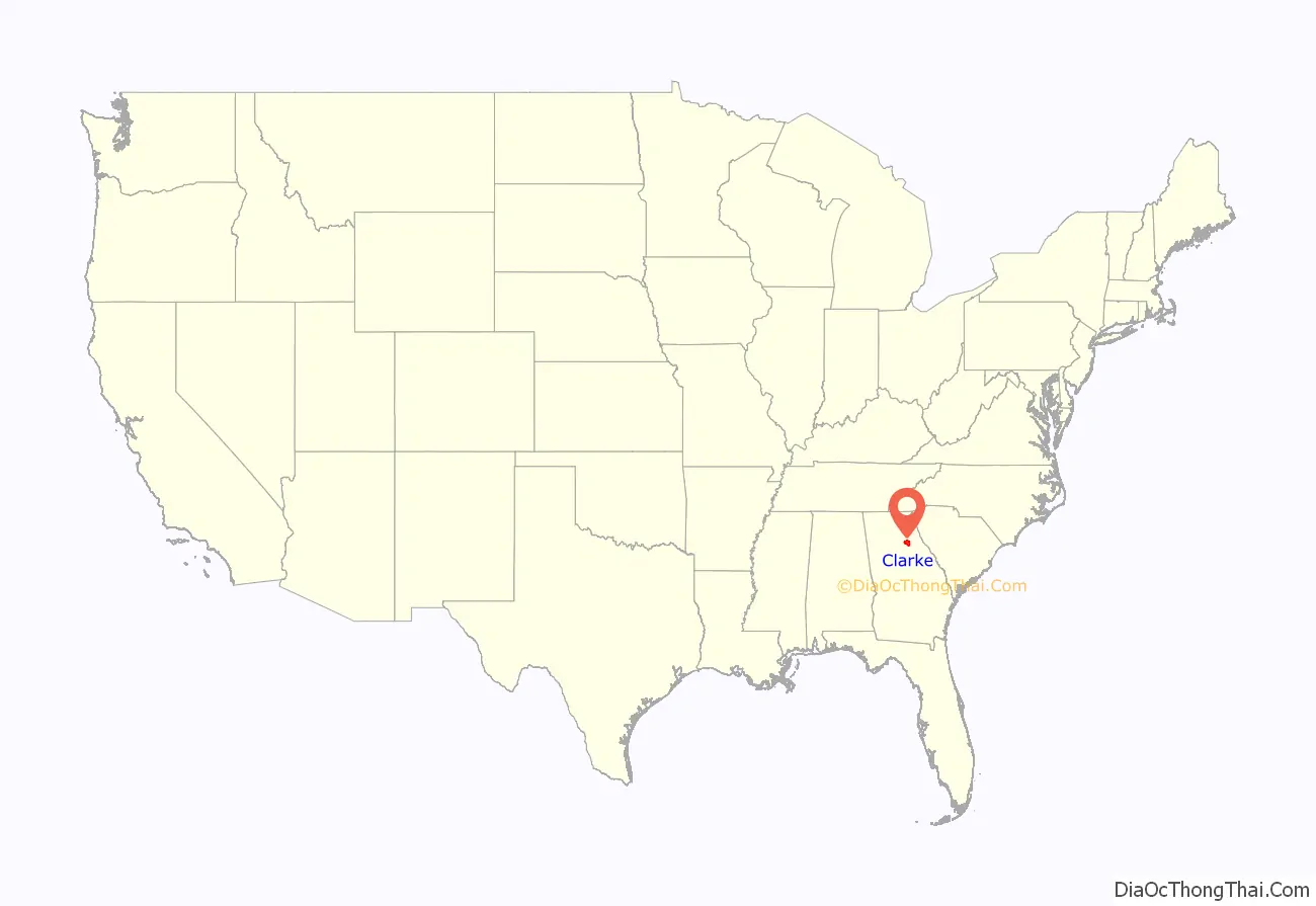
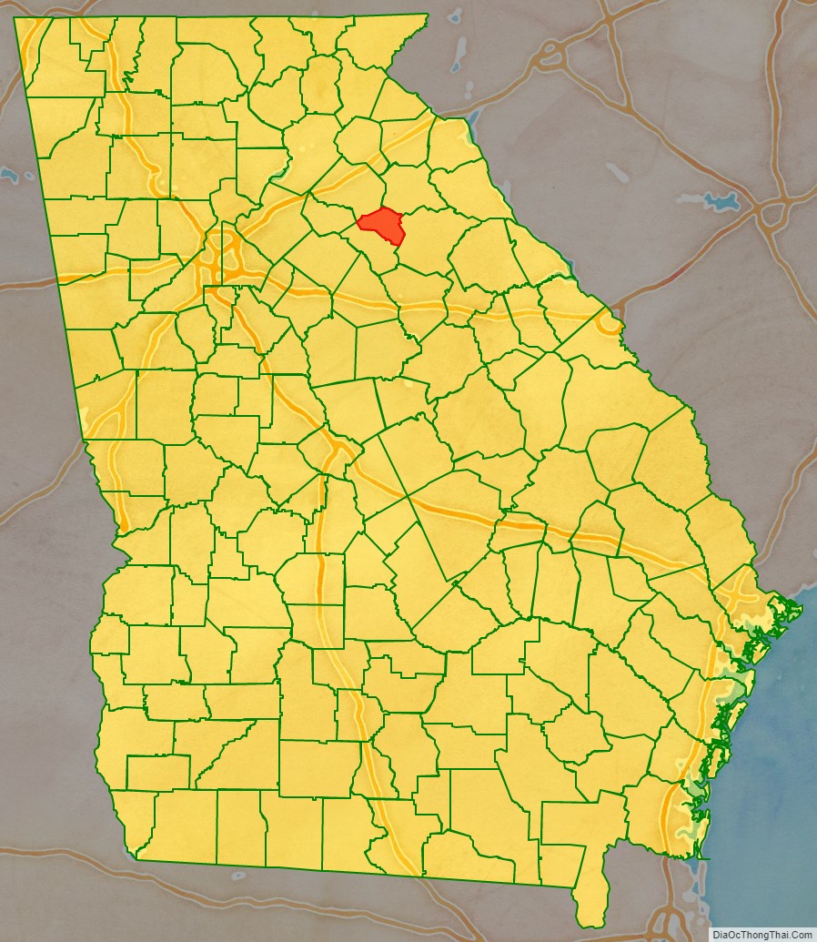
Clarke County location map. Where is Clarke County?
History
Clarke County was created in 1801 by an act of the Georgia General Assembly on December 5. It was named for Revolutionary War hero Elijah Clarke and included 250 square miles (647.5 km) that was formerly part of Jackson County. Colonel Clarke played a leading role the 1779 victory at the Battle of Kettle Creek in Wilkes County. The Elijah Clarke Chapter of the Daughters of the American Revolution erected a monument to him in Broad Street in Athens.
As the population of the county grew in the early 19th century, its agricultural and cotton industries prospered. The adjacent plantation harvests flowed through city mills. Manufacturing and textile production operations were the major industries in Clarke County, especially after the railroad reached Athens in 1841. Athens and Clarke County were second only to Savannah and Chatham County in the amount of capital invested in manufacturing in the 1840s.
Two skirmishes were fought in Clarke County in 1864, during the American Civil War, one near Barber’s Creek and the other near Mitchell’s Road. Athens was occupied by the Union Army on May 29 and a provost-marshal took charge. Formal military occupation of the ended by December 1864, though Union troops remained in the county until early 1866.
In 1801 the Clarke County Commission had selected Watkinsville (now in Oconee County) as the county seat. All county offices, including the courts and jail, moved to Athens when the seat was moved on November 24, 1871. County meetings took place in the old Athens town hall, until a new courthouse was constructed in 1876. The present courthouse was built in 1914.
On February 12, 1875, in response to complaints over the relocation of the county seat to Athens, the state legislature created Oconee County from the southwestern portion of Clarke County, making Watkinsville its seat. Clarke County thus lost one-third of its population and three-fifths of its land area.
The position of “commissioner of roads and revenue” was created by the legislature for what are today known as county commissioners. As an extension of the state, the county would conduct welfare and health programs, build and maintain roads, and hold courts of law.
On March 29, 1973, the Georgia legislature increased the number of county commissioners from 3 to 5, also adding a county administrator.
In 1990, the residents voted to unify the city and county governments creating Athens-Clarke County, the second (after Columbus–Muscogee County) unified city-county government in the State of Georgia.
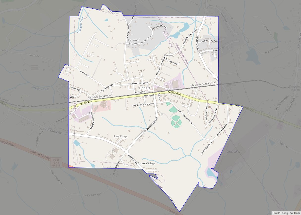
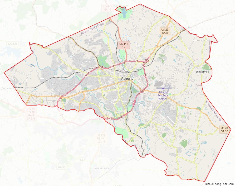
Clarke County Road Map
Geography
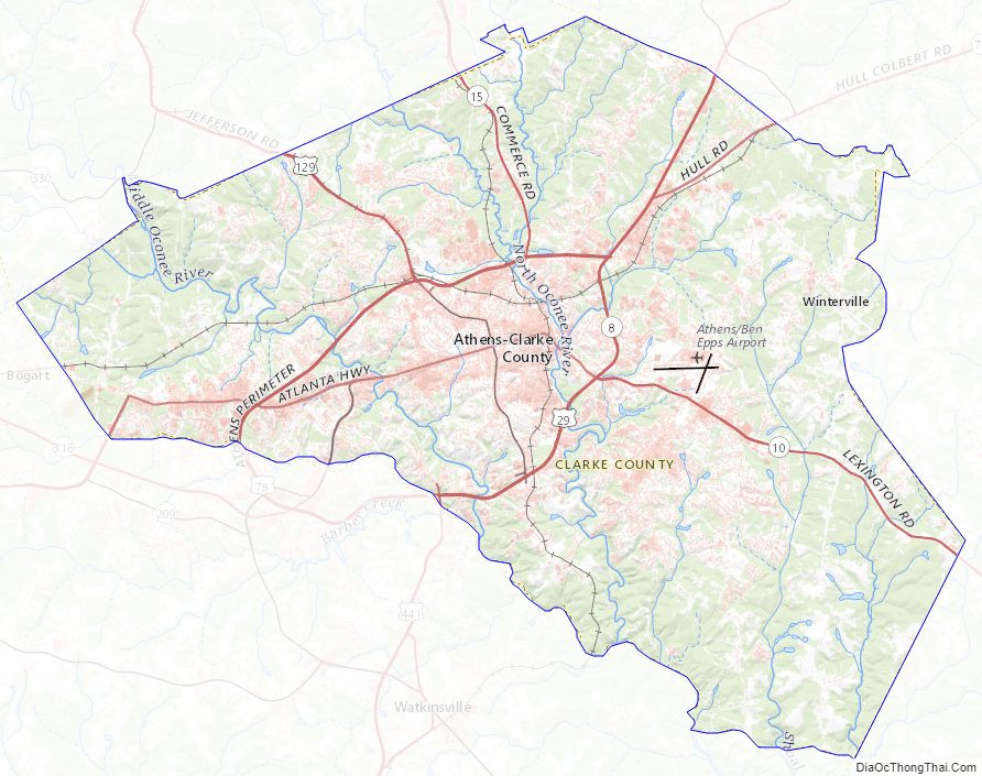
Clarke County is located at 33°57′20″N 83°23′00″W / 33.955464°N 83.383245°W / 33.955464; -83.383245Coordinates: 33°57′20″N 83°23′00″W / 33.955464°N 83.383245°W / 33.955464; -83.383245. The county is located in the Piedmont region of the state.
The vast majority of Clarke County is located in the Upper Oconee River sub-basin of the Altamaha River basin, with a very small portion of the county’s eastern edge, north of Winterville, located in the Broad River sub-basin of the Savannah River basin.
According to the U.S. Census Bureau, the county has a total area of 121 square miles (310 km), of which 119 square miles (310 km) is land and 1.8 square miles (4.7 km) (1.5%) is water. It is the smallest county by area in Georgia.
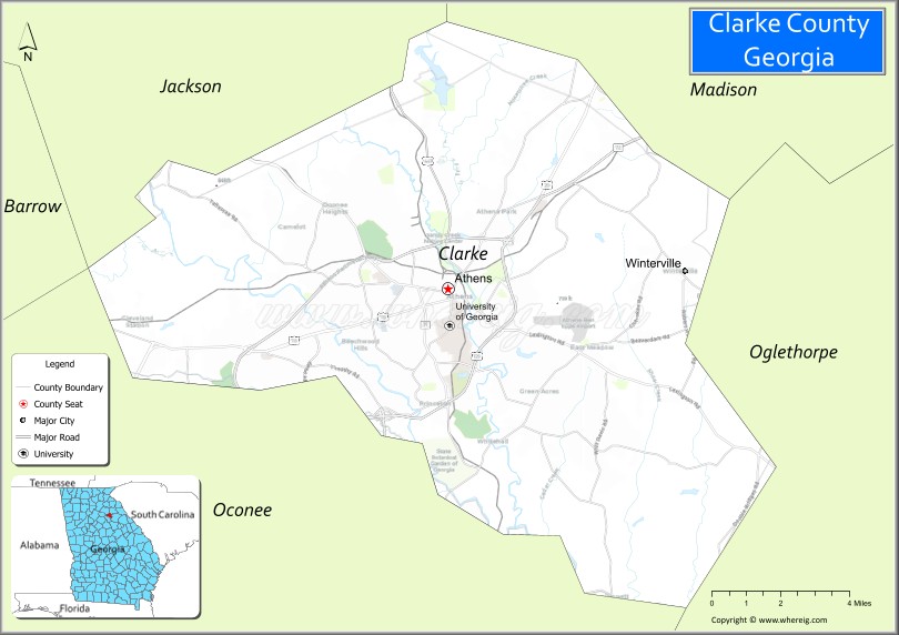
Adjacent counties
- Madison County, Georgia – northeast
- Oglethorpe County, Georgia – southeast
- Oconee County, Georgia – southwest
- Barrow County, Georgia – west
- Jackson County, Georgia – northwest
Clarke County Topographic Map
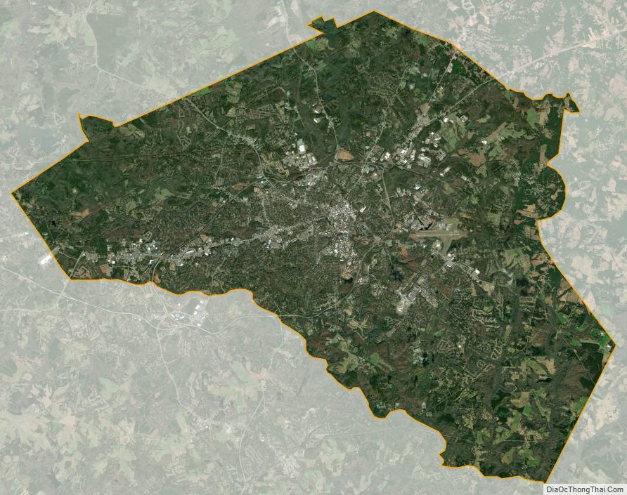
Clarke County Satellite Map
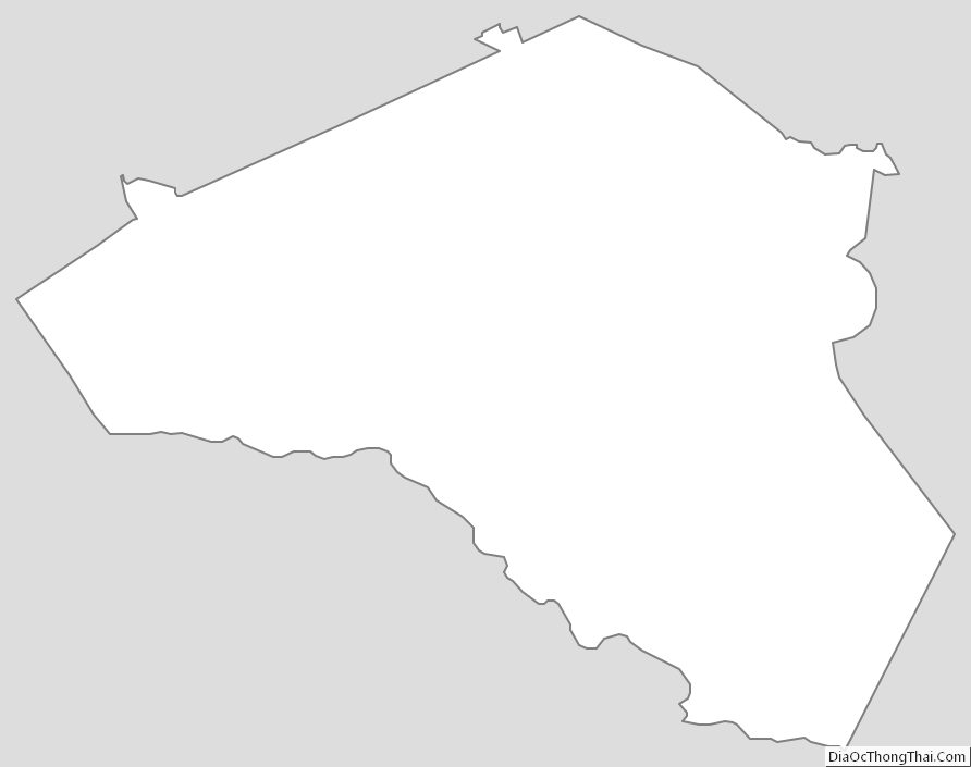
Clarke County Outline Map