| Name: | Clifton Forge City Independent City |
|---|---|
| State: | Virginia |
| Named for: | The Clifton estate in Lexington |
| Total Area: | 3.08 sq mi (7.98 km²) |
| Land Area: | 3.02 sq mi (7.82 km²) |
| Total Population: | 3,555 |
| Population Density: | 1,200/sq mi (450/km²) |
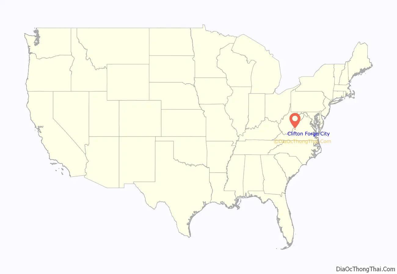
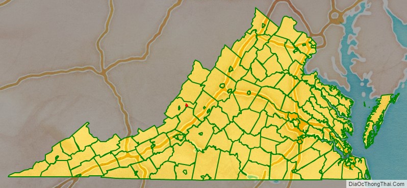
Clifton Forge City Independent City location map. Where is Clifton Forge City Independent City?
History
Clifton Forge Commercial Historic District, Clifton Forge Residential Historic District, Clifton Furnace, Jefferson School, and Longdale Furnace Historic District are listed on the National Register of Historic Places.
Clifton Forge City Independent City Road Map
Geography
Clifton Forge is located at 37°49′11″N 79°49′24″W / 37.81972°N 79.82333°W / 37.81972; -79.82333 (37.819801, -79.823584).
According to the United States Census Bureau, the town had a total area of 3.1 square miles (8.0 km), all land.
Portions of the town were built upon a bridge, elevating the town above a stream.


