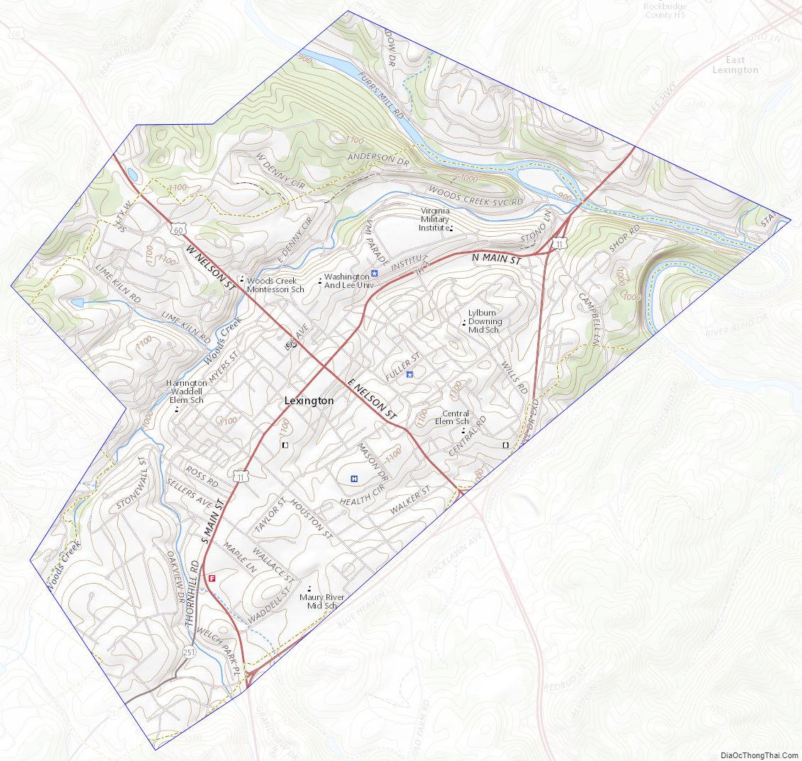
Lexington is an independent city in the Commonwealth of Virginia. At the 2020 census, the population was 7,320. It is the county seat of Rockbridge County, although the two are separate jurisdictions. The Bureau of Economic Analysis combines the city of Lexington (along with nearby Buena Vista) with Rockbridge County for statistical purposes. Lexington is about 57 miles (92 km) east of the West Virginia border and is about 50 miles (80 km) north of Roanoke, Virginia. It was first settled in 1778.
Lexington is the location of the Virginia Military Institute (VMI) and of Washington and Lee University (W&L).
| Name: | Lexington City |
|---|---|
| FIPS code: | 51-678 |
| State: | Virginia |
| Total Area: | 2.52 sq mi (6.54 km²) |
| Land Area: | 2.50 sq mi (6.47 km²) |
| Total Population: | 7,320 |
| Population Density: | 2,900/sq mi (1,100/km²) |
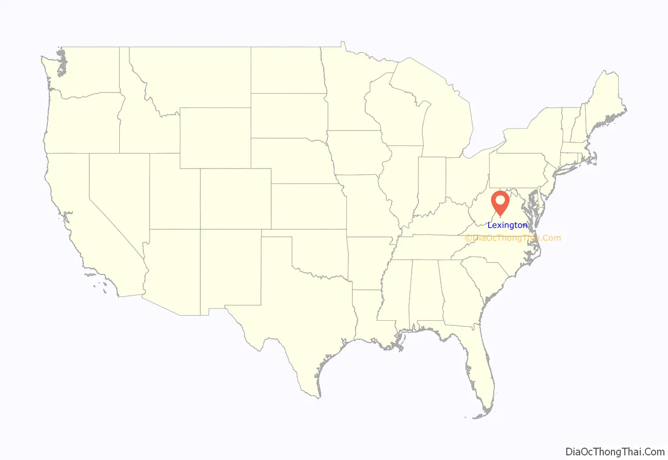
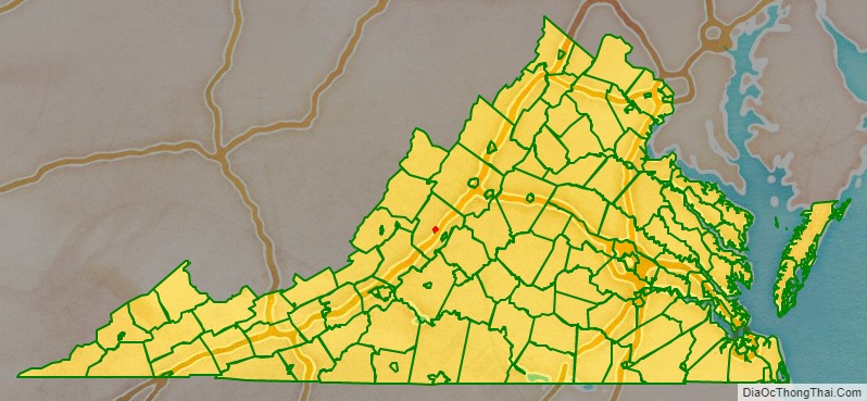
Lexington City location map. Where is Lexington City?
History
Lexington was named in 1778. It was the first of what would be many American places named after Lexington, Massachusetts, known for being the place at which the first shot was fired in the American Revolution.
The Union General David Hunter led a raid on Virginia Military Institute during the American Civil War. Robert E. Lee and Thomas “Stonewall” Jackson are buried in the city. It is the site of the only house Jackson ever owned, now open to the public as a museum. Cyrus McCormick invented the horse-drawn mechanical reaper at his family’s farm in Rockbridge County, and a statue of McCormick is located on the Washington and Lee University campus. McCormick Farm is now owned by Virginia Tech and is a satellite agricultural research center.
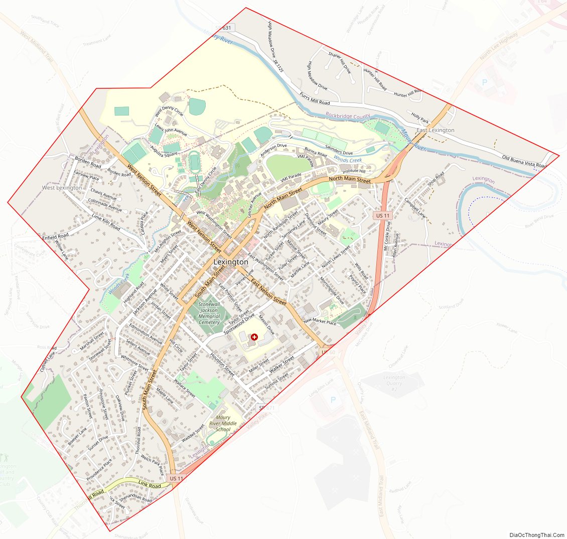
Lexington City Road Map
Geography
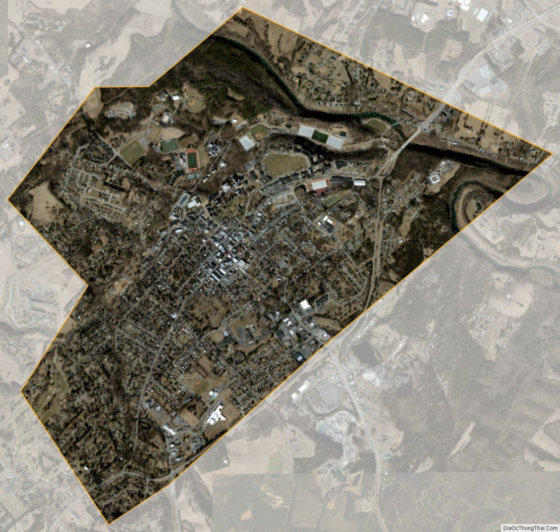
According to the U.S. Census Bureau, the city has a total area of 2.5 square miles (6.5 km), virtually all of which is land. The Maury River, a tributary of the James River, forms the city’s northeastern boundary.
Lexington City Topographic Map
Lexington City Satellite Map
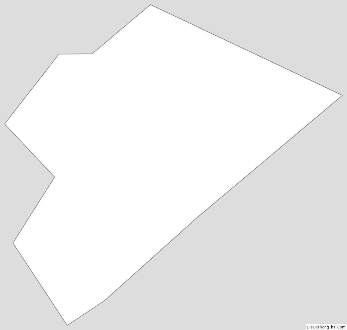
Lexington City Outline Map