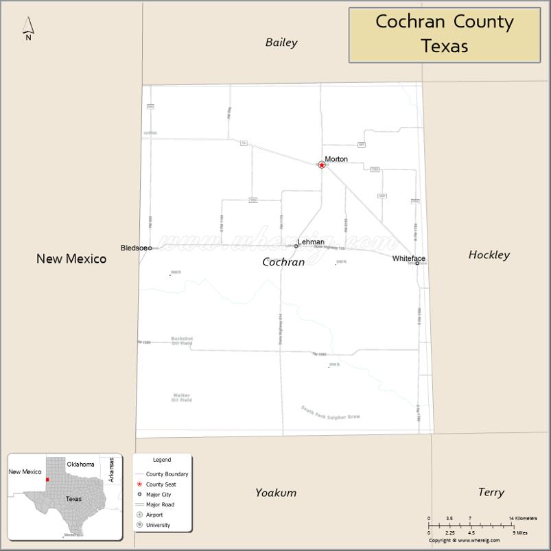
Cochran County is a county located in the U.S. state of Texas. As of the 2020 census, its population was 2,547. The county seat is Morton. The county was created in 1876 and later organized in 1924. It is named for Robert E. Cochran, a defender of the Alamo.
| Name: | Cochran County |
|---|---|
| FIPS code: | 48-079 |
| State: | Texas |
| Founded: | 1924 |
| Named for: | Robert E. Cochran |
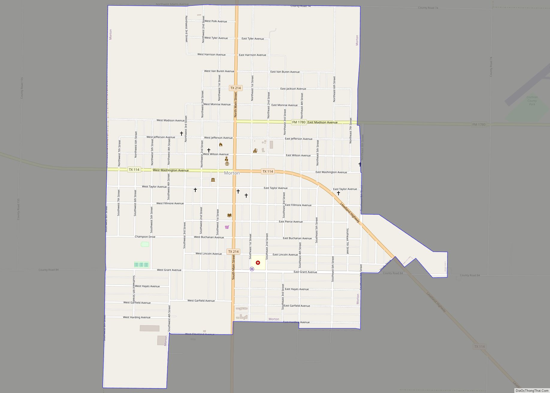
| Seat: | Morton |
| Largest city: | Morton |
| Total Area: | 775 sq mi (2,010 km²) |
| Land Area: | 775 sq mi (2,010 km²) |
| Total Population: | 2,547 |
| Population Density: | 3.3/sq mi (1.3/km²) |
| Website: | www.co.cochran.tx.us |
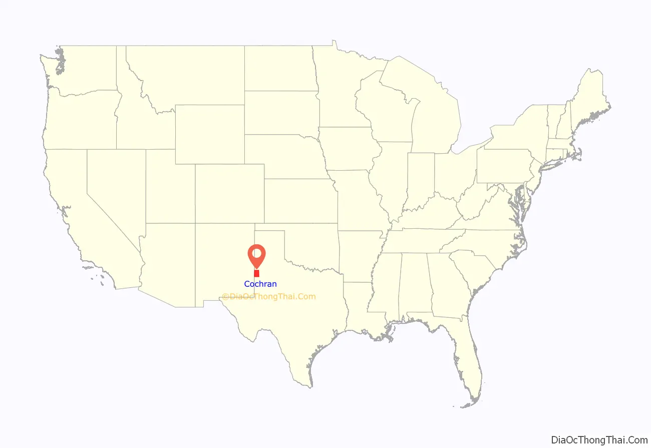
Cochran County location map. Where is Cochran County?
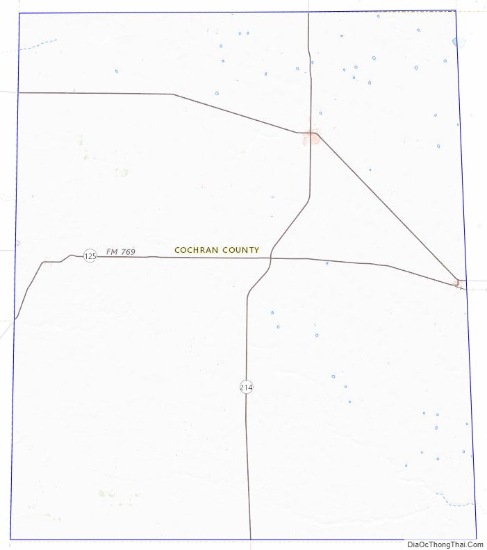
Cochran County Road Map

Geography
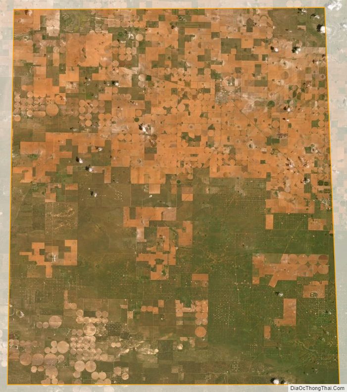
According to the U.S. Census Bureau, the county has a total area of 775 square miles (2,010 km), of which 775 square miles (2,010 km) are land and 0.09 square miles (0.23 km) (0.01%) is covered by water. Cochran County lies on the high plains of the Llano Estacado. The western border of the county lies along the border of Texas and New Mexico.
Major highways
- State Highway 114
- State Highway 125
- State Highway 214
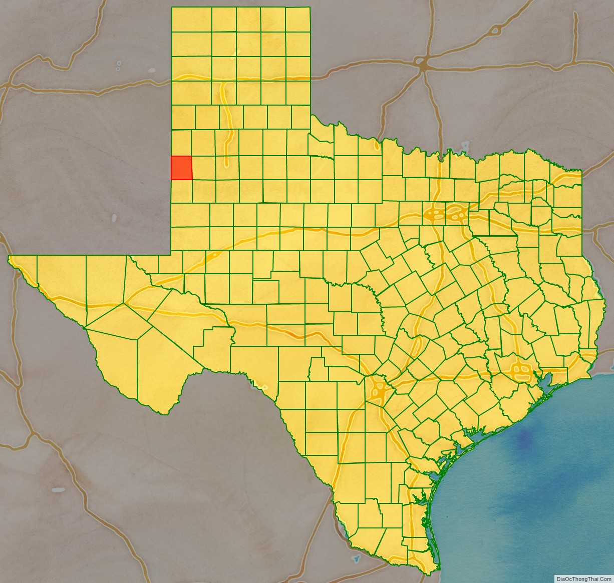
Adjacent counties
- Bailey County (north)
- Lamb County (northeast)
- Hockley County (east)
- Terry County (southeast)
- Yoakum County (south)
- Lea County, New Mexico (southwest/Mountain Time Zone)
- Roosevelt County, New Mexico (northwest/Mountain Time Zone)
Cochran County Topographic Map
Cochran County Satellite Map
Cochran County Outline Map