Lamb County is a county located in the U.S. state of Texas. As of the 2020 census, its population was 13,045. Its county seat is Littlefield. The county was created in 1876, but not organized until 1908. It is named for George A. Lamb, who died in the Battle of San Jacinto.
Lamb County was the home of the Texas House Speaker Bill W. Clayton, who served from 1975 until 1983. It is also the birthplace of country music singer Waylon Jennings.
| Name: | Lamb County |
|---|---|
| FIPS code: | 48-279 |
| State: | Texas |
| Founded: | 1908 |
| Named for: | George A. Lamb |
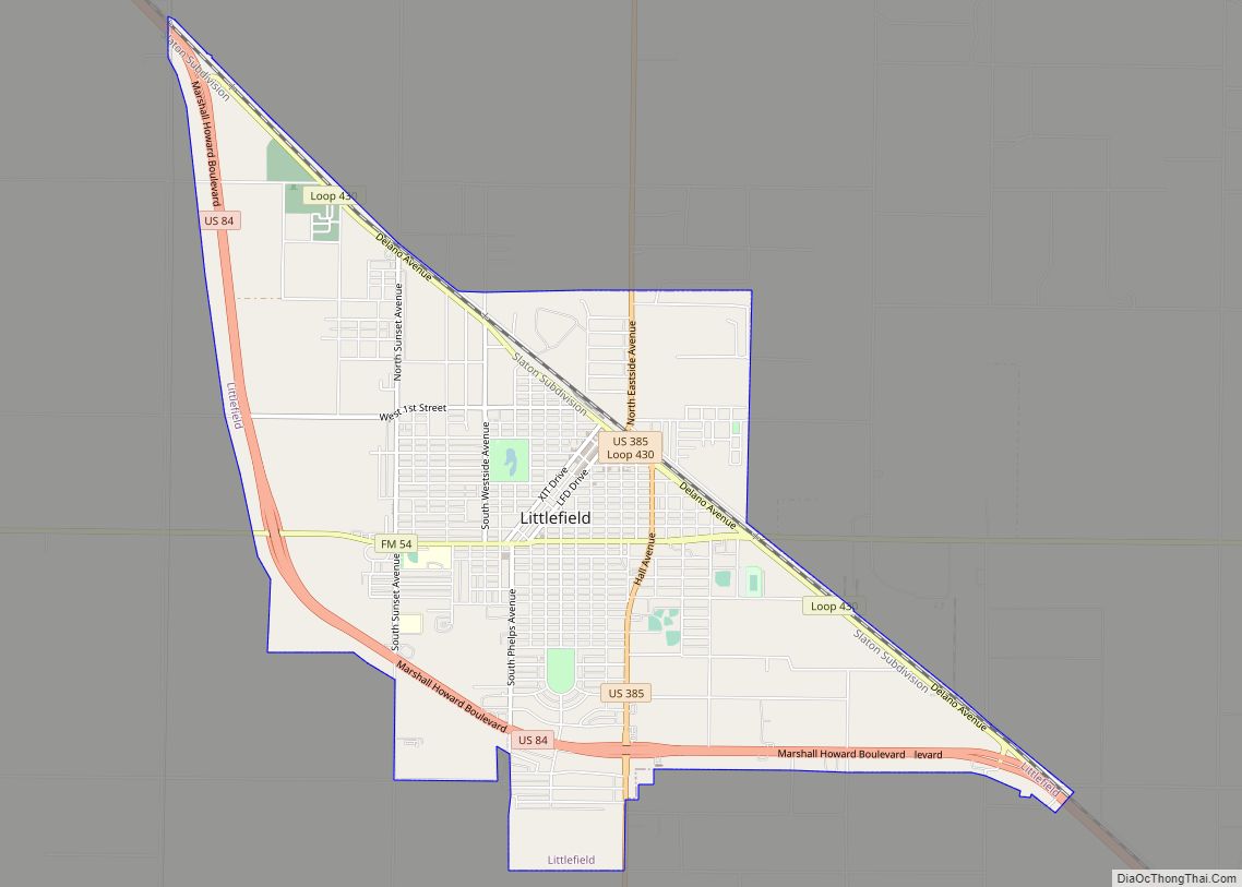
| Seat: | Littlefield |
| Largest city: | Littlefield |
| Total Area: | 1,018 sq mi (2,640 km²) |
| Land Area: | 1,016 sq mi (2,630 km²) |
| Total Population: | 13,045 |
| Population Density: | 13/sq mi (4.9/km²) |
| Time zone: | UTC−6 (Central) |
| Summer Time Zone (DST): | UTC−5 (CDT) |
| Website: | co.lamb.tx.us |
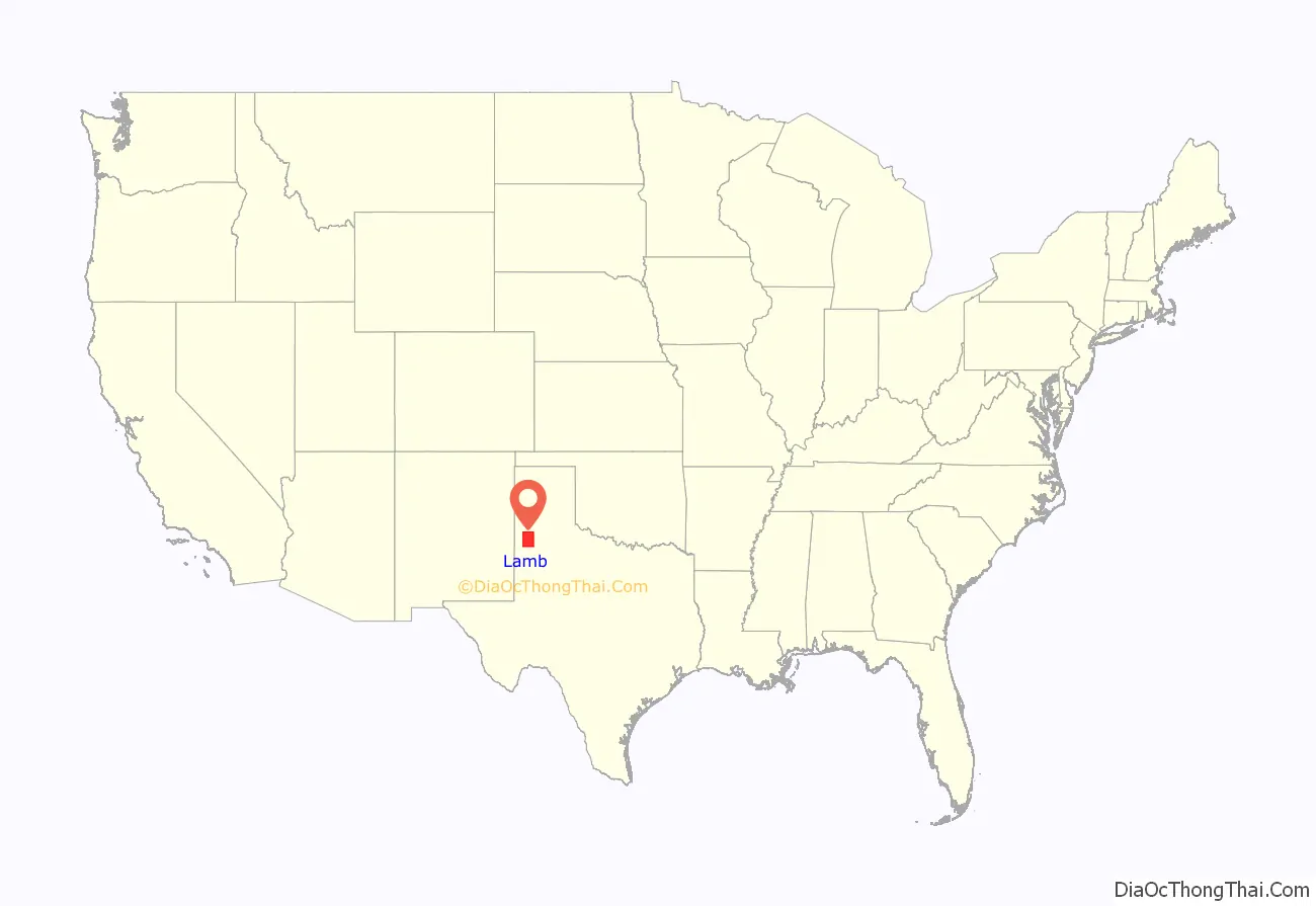
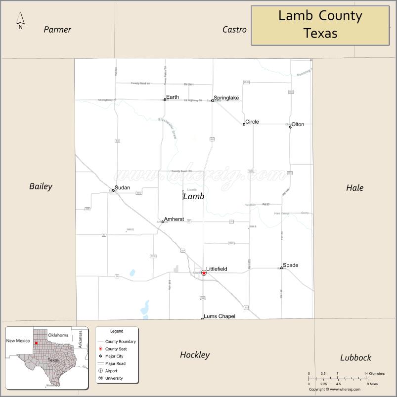
Lamb County location map. Where is Lamb County?
History
Lamb County was formed in 1876 from portions of Bexar County. It was named after George A. Lamb, a soldier in the Battle of San Jacinto.
In the 1960s the water table began to decline. From the 1980s until 2023, the population declined by about 33%. Between circa 2013 and 2023, the population declined by about 8%.
During the COVID-19 pandemic in Texas, Lamb County had an almost 1/100 death rate as of March 2023. As of that month, Lamb County, among American counties with 2,500 or more residents, had the eighth highest COVID-19 death rate.
By 2023 there was water scarcity among farms, and many younger people moved to other counties for jobs.
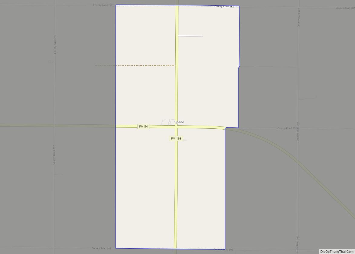
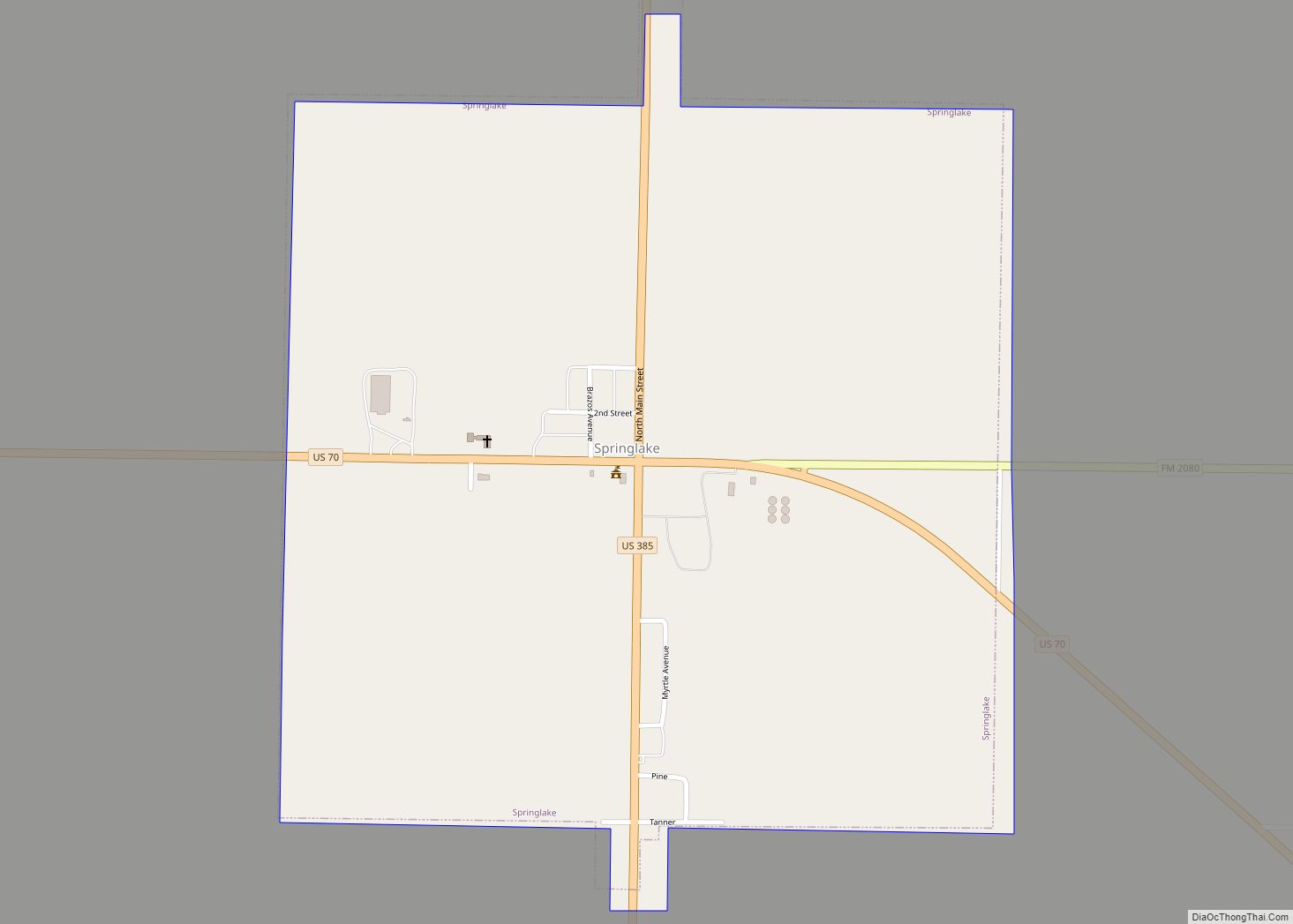
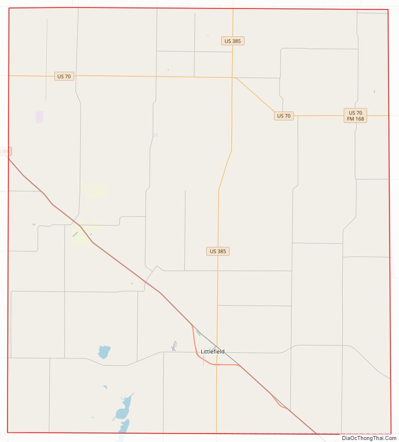
Lamb County Road Map
Geography
According to the U.S. Census Bureau, the county has a total area of 1,018 square miles (2,640 km), of which 1.5 square miles (3.9 km) (0.2%) are covered by water.
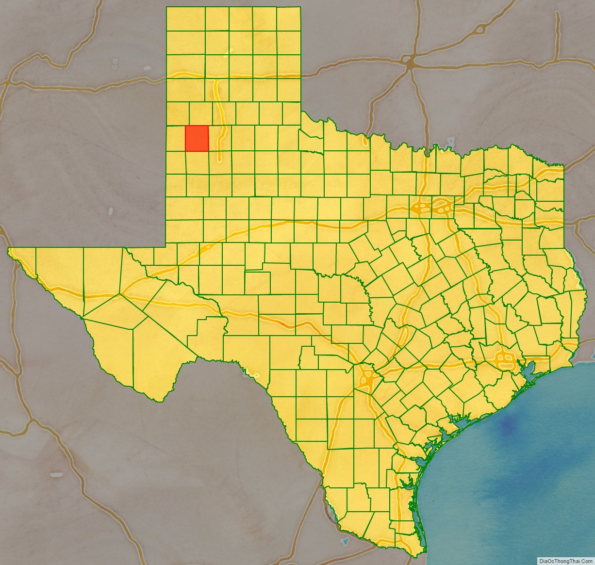
Adjacent counties
- Castro County (north)
- Hale County (east)
- Hockley County (south)
- Bailey County (west)
- Parmer County (northwest)
- Lubbock County (southeast)
- Cochran County (southwest)
Lamb County Topographic Map
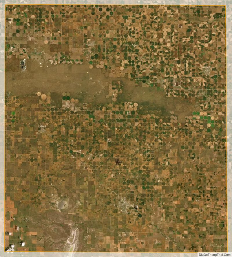
Lamb County Satellite Map
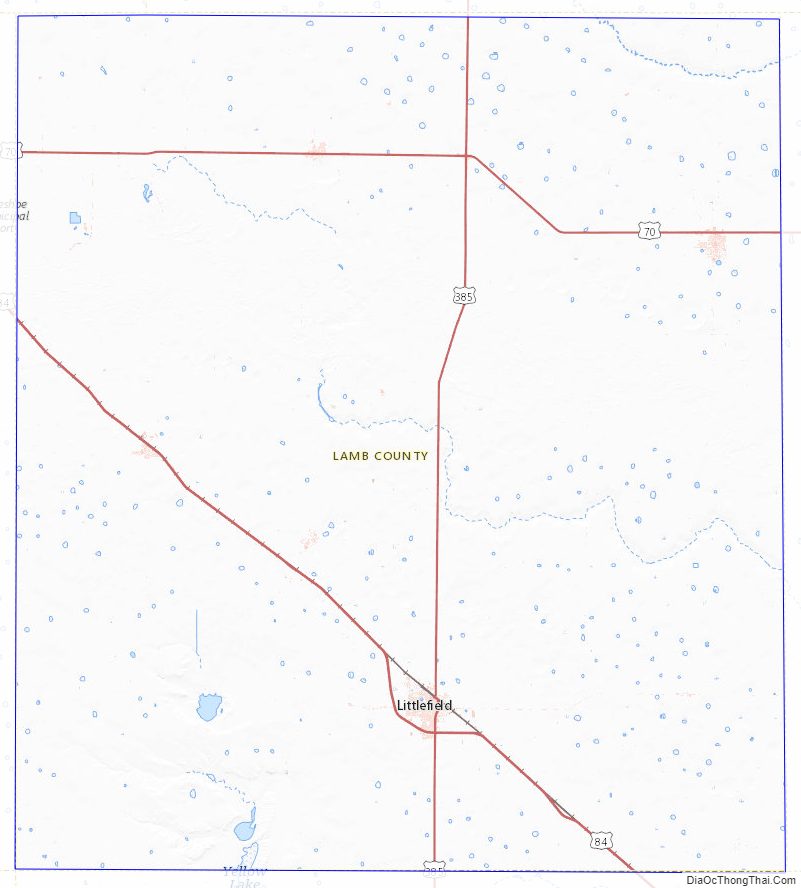
Lamb County Outline Map