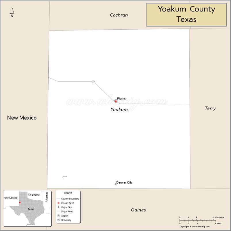
Yoakum County is a county located in the far western portion of the U.S. state of Texas. As of the 2020 census, the population was 7,694. Its county seat is Plains. The county was created in 1876 and later organized in 1907. It is named for Henderson King Yoakum, a Texas historian.
Until the passage of a liquor sales referendum held on May 11, 2013, Yoakum had been one of 19 remaining prohibition or entirely dry counties within the state of Texas. Voters in Denver City also approved a separate referendum to permit liquor sales within that community.
In 1965, Recorded Texas Historic Landmark number 5927 was placed at the county courthouse, acknowledging the creation of the county in 1876.
Until after 1900, the county contained primarily nomadic buffalo hunters and a few scattered ranchers. Yoakum County was organized in 1907, and the population increased to 602 because of the sale of state land deeds.
| Name: | Yoakum County |
|---|---|
| FIPS code: | 48-501 |
| State: | Texas |
| Founded: | 1907 |
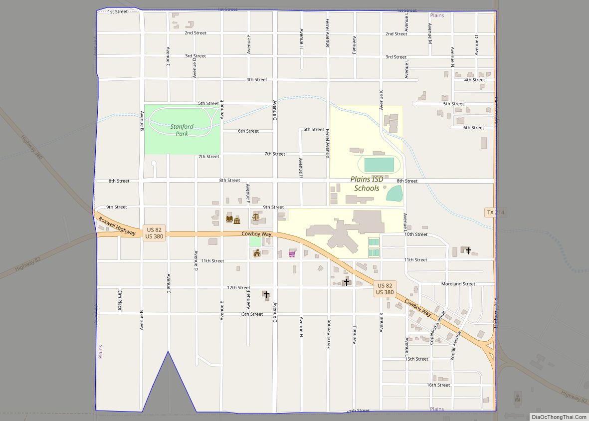
| Seat: | Plains |
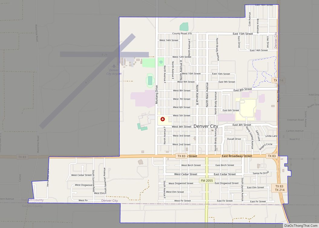
| Largest town: | Denver City |
| Total Area: | 800 sq mi (2,000 km²) |
| Land Area: | 800 sq mi (2,000 km²) |
| Total Population: | 7,694 |
| Population Density: | 9.6/sq mi (3.7/km²) |
| Website: | www.co.yoakum.tx.us |
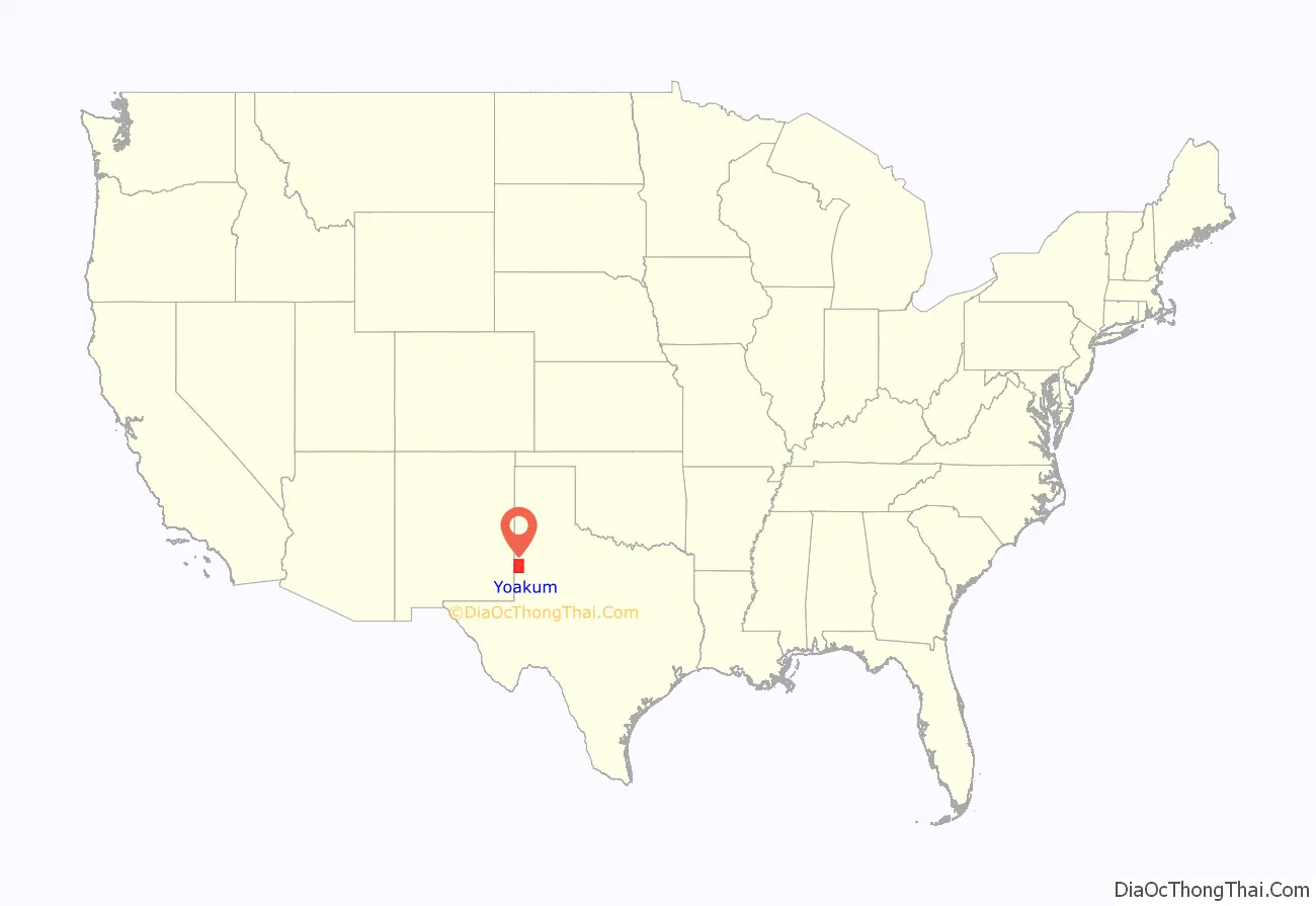
Yoakum County location map. Where is Yoakum County?
History
Native Americans
Early tribes included Suma-Jumano, Comanche, Cheyenne, and Kiowa.
The Comanches and Indians before them knew that the sand dunes that one can still see today called the Lea-Yoakum Sand Dunes and those visible around Denver City did not signify a desert. Instead, these dunes are remnants of an ancient river system that once flowed northwest to southeast through the area. Indians knew to dig beneath the surface of the sand dunes to find water. And so they frequented the sand dunes to hunt the plentiful game once there, and perform sacred rites during their encampments. Evidence of these visits to the area by Comanche, Kiowa, and prehistoric Indians before them was discovered in the 20th century by local ranchers and verified by archaeologists.
A Quanah Parker Trail arrow, installed December 14, 2011, marked Denver City as a place with historic ties to the Comanche and other native peoples who once hunted and lived in the region. In March 2015, Denver City removed and stored the arrow for eventual reinstallation at the site of a new museum.
County established
The Texas Legislature established Yoakum County from Bexar County in 1876. The county was organized in 1907, and Plains became the county seat. In 1900, the area had only 26 residents. One ranch in the county that year was devoted to cattle, rather than crops.
Sale of state land after 1900 brought an increase in population. By 1910, 107 farms or ranches were in the area, and the population had increased to 602.
By 1920, 109 ranches or farms in the area, but the population had fallen to 504. More than 21,000 cattle were reported that year, but crop cultivation remained limited; about 2,200 acres (8.9 km) were planted in corn, 600 in sorghum, and 47 in cotton. During the 1920s, the county experienced a minor expansion of crop farming, and cotton became the most important crop; by 1930, over 10,000 acres (40 km) were devoted to cotton. There were 239 farms, and the population had increased to 1,263.
The first oil well in the county gushed in 1935. Denver City benefited with a resulting boom economy. By January 1, 1991, almost 1,664,036,000 barrels (264,560,600 m) of oil had been taken from county lands since 1936.
Irrigation in the county led to more acres being planted on sorghum, cotton, alfalfa, watermelons, and castor beans. In 1982, 93% of the land in Yoakum County was in farms and ranches, and 44% of the farmland was under cultivation. Some 110,000 acres (450 km) were irrigated. About 95% of agricultural revenue was derived from crops, especially cotton, sorghum, wheat, hay, and corn.
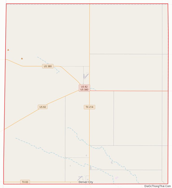
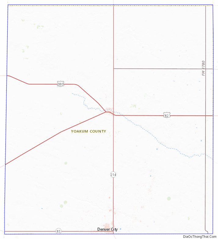
Yoakum County Road Map
Geography
According to the U.S. Census Bureau, the county has a total area of 800 square miles (2,100 km), virtually all of which is land.
Major highways
- U.S. Highway 82
- U.S. Highway 380
- State Highway 83
- State Highway 214
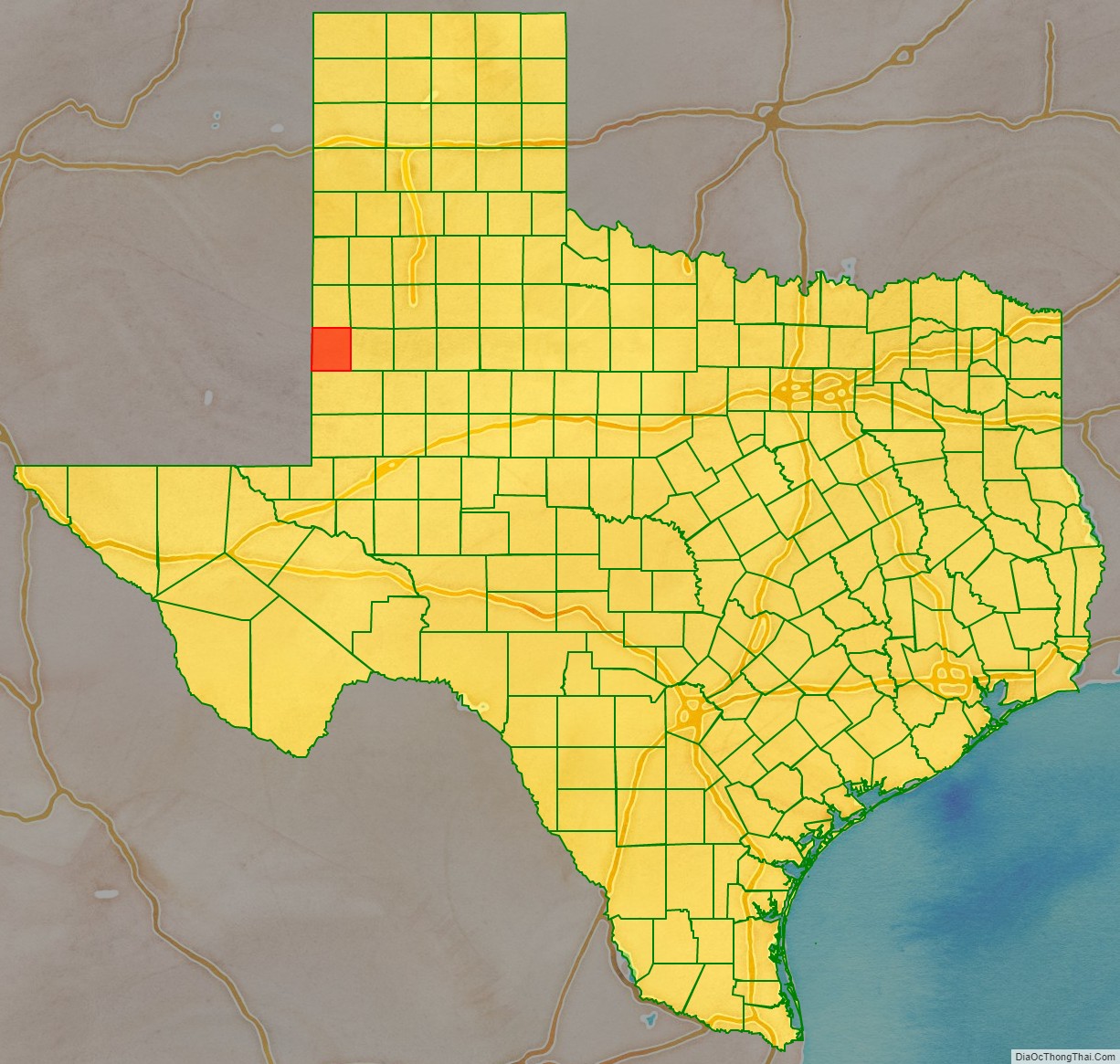
Adjacent counties
- Cochran County (north)
- Terry County (east)
- Gaines County (south)
- Lea County, New Mexico (west/Mountain Time Zone)
Yoakum County Topographic Map
Yoakum County Satellite Map

Yoakum County Outline Map