Colquitt County is a county in the U.S. state of Georgia. As of the 2020 census, the population was 45,898. The county seat is Moultrie. The county was created on February 25, 1856, and is named for Walter Terry Colquitt, a U.S. senator. Colquitt County comprises the Moultrie, GA Micropolitan Statistical Area.
| Name: | Colquitt County |
|---|---|
| FIPS code: | 13-071 |
| State: | Georgia |
| Founded: | 1856 |
| Named for: | Walter Terry Colquitt |
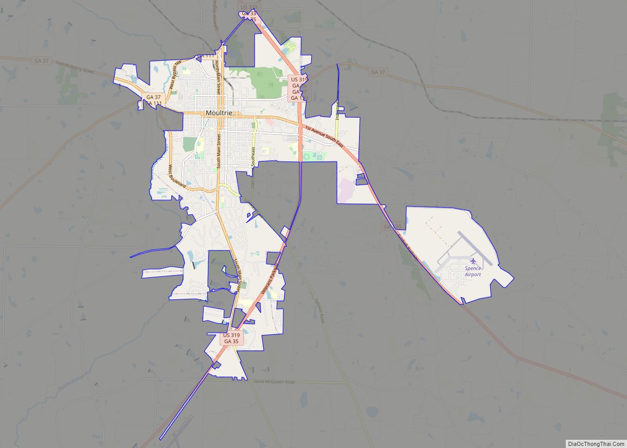
| Seat: | Moultrie |
| Largest city: | Moultrie |
| Total Area: | 557 sq mi (1,440 km²) |
| Land Area: | 544 sq mi (1,410 km²) |
| Total Population: | 45,898 |
| Population Density: | 84/sq mi (32/km²) |
| Time zone: | UTC−5 (Eastern) |
| Summer Time Zone (DST): | UTC−4 (EDT) |
| Website: | www.ccboc.com |
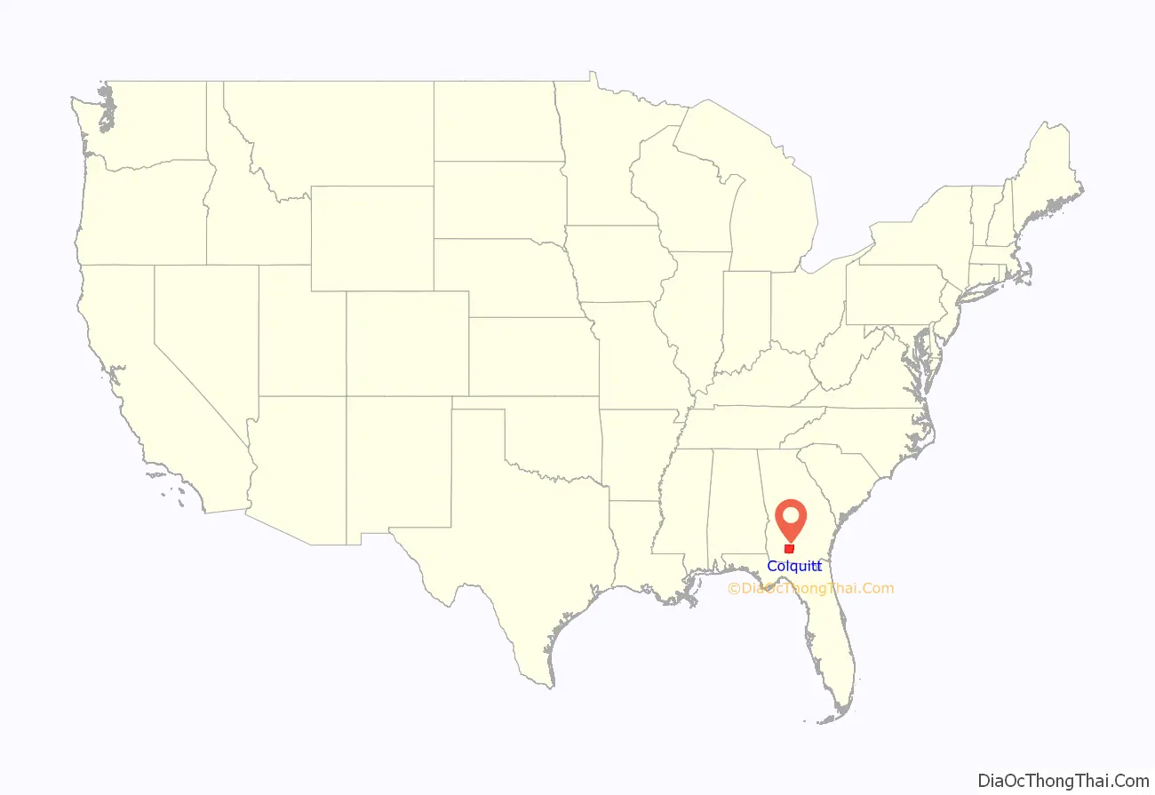
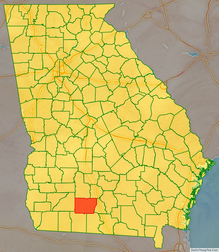
Colquitt County location map. Where is Colquitt County?
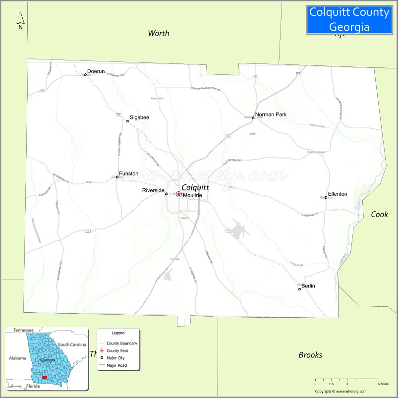
Colquitt County Road Map

Geography
According to the U.S. Census Bureau, the county has a total area of 557 square miles (1,440 km), of which 544 square miles (1,410 km) is land and 12 square miles (31 km) (2.2%) is water.
Most of the western portion of Colquitt County, west of Moultrie and State Route 33, is located in the Upper Ochlockonee River sub-basin of the larger Ochlockonee River basin, with the exception of the very northwestern corner of the county, between Sale City and west of Doerun, which is located in the Lower Flint River sub-basin of the ACF River Basin (Apalachicola-Chattahoochee-Flint River Basin). A narrow central portion of Colquitt County, running from north to south of Moultrie, and then widening to occupy the gap between U.S. Route 319 and State Route 133, is located in the Withlacoochee River sub-basin of the Suwannee River basin. The eastern portion of the county is located in the Little River sub-basin of the same Suwannee River basin.
Lakes
- Gray Lake
- Lake Murphy
Major highways
- U.S. Route 319
- U.S. Route 319 Business
- State Route 33
- State Route 35
- State Route 37
- State Route 111
- State Route 133
- State Route 202
- State Route 256
- State Route 270
- State Route 270 Spur
Adjacent counties
- Tift County (northeast)
- Cook County (east)
- Brooks County (southeast)
- Thomas County (southwest)
- Mitchell County (west)
- Worth County (northwest)
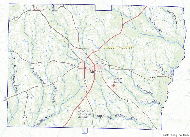
Colquitt County Topographic Map
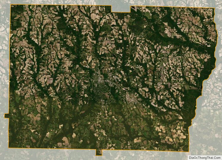
Colquitt County Satellite Map
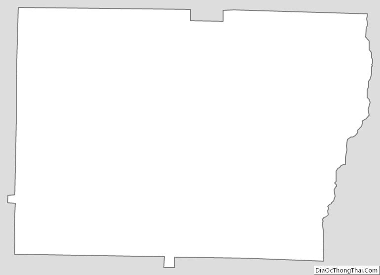
Colquitt County Outline Map