Tift County is a county located in the south central portion of the U.S. state of Georgia. As of the 2020 census, the population was 41,344. The county seat is Tifton.
Tift County comprises the Tifton, Georgia Micropolitan Statistical Area.
| Name: | Tift County |
|---|---|
| FIPS code: | 13-277 |
| State: | Georgia |
| Founded: | 1905 |
| Named for: | Henry Harding Tift |
| Seat: | Tifton |
| Largest city: | Tifton |
| Total Area: | 269 sq mi (700 km²) |
| Land Area: | 259 sq mi (670 km²) |
| Total Population: | 41,344 |
| Population Density: | 160/sq mi (60/km²) |
| Time zone: | UTC−5 (Eastern) |
| Summer Time Zone (DST): | UTC−4 (EDT) |
| Website: | www.tiftcounty.org |
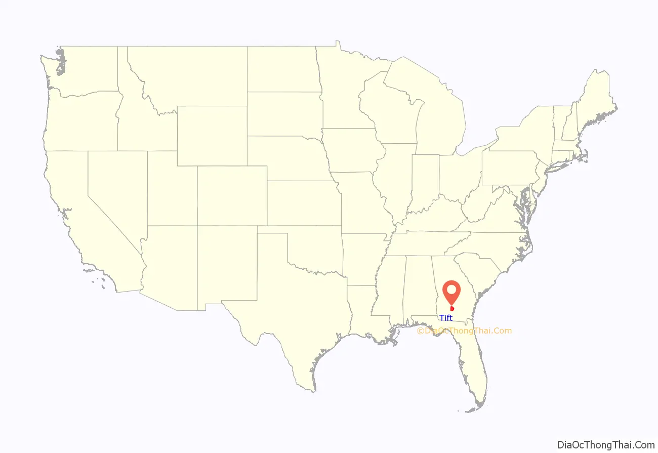
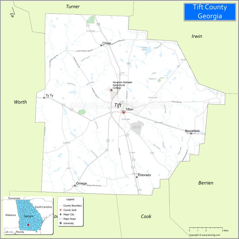
Tift County location map. Where is Tift County?
History
The county was created on August 17, 1905, and is named for Henry Harding Tift, who founded Tifton in 1872. Tift purchased about 65,000 acres of virgin pine timberland there in the Wiregrass Region of South Georgia, and established a sawmill and a village for his workers. Tift eventually expanded into turpentine and barrel-making operations, and turned his barren timberlands into farms for cotton, corn, livestock, fruit, tobacco, pecans and sweet potatoes. When the Georgia Southern and Florida Railway intersected the Brunswick and Western Railroad near Tift’s mill in 1888, the settlement was connected to Atlanta and became a boom town. It was incorporated as Tifton by the Georgia Legislature in 1890.
Tift provided employment and financial growth opportunities for his flourishing market center by founding the Tifton Cotton Mill, the Bank of Tifton, and other types of businesses in which he had a leading interest. These included fruit growing, groceries and general merchandise, cottonseed oil, lumber, brick and stone, and several railroads, all essential for the development of a region. Tift also established a model farm north of town and donated a large parcel of acreage for an agricultural experiment station; these enterprises led eventually to the development of Abraham Baldwin College and the Coastal Plain Experiment Station in Tifton.
Tift’s civic commitment was most evident in his donation of lands for churches (Methodist, Baptist, and Episcopal) and Fulwood Park, and in his decades of service as a city councilman and mayor. Through a variety of business and civic undertakings, Tift contributed significantly to the economic and social development of south central Georgia. Though a captain of industry, agriculture, and finance, he is best remembered for his civic service and generosity.
Tift County was created on August 17, 1905, by an act of the General Assembly. Because Georgia law in 1905 did not allow a new county to be named after a living person, the legislature voted to name Tift County after Nelson Tift of Albany, Georgia, who was an uncle of Henry Harding Tift.
In 2013, John Edward (Edd) Dorminey a native of Tifton, author and historian drafted resolutions and presented them to the Tifton and Tift County Commissions which were passed unanimously. Soon after with assistance from Representative Jay Roberts the Georgia House of Representatives and the Senate voted to approve the submitted resolution establishing the naming of Tift County after its rightful founder, Henry Harding Tift.
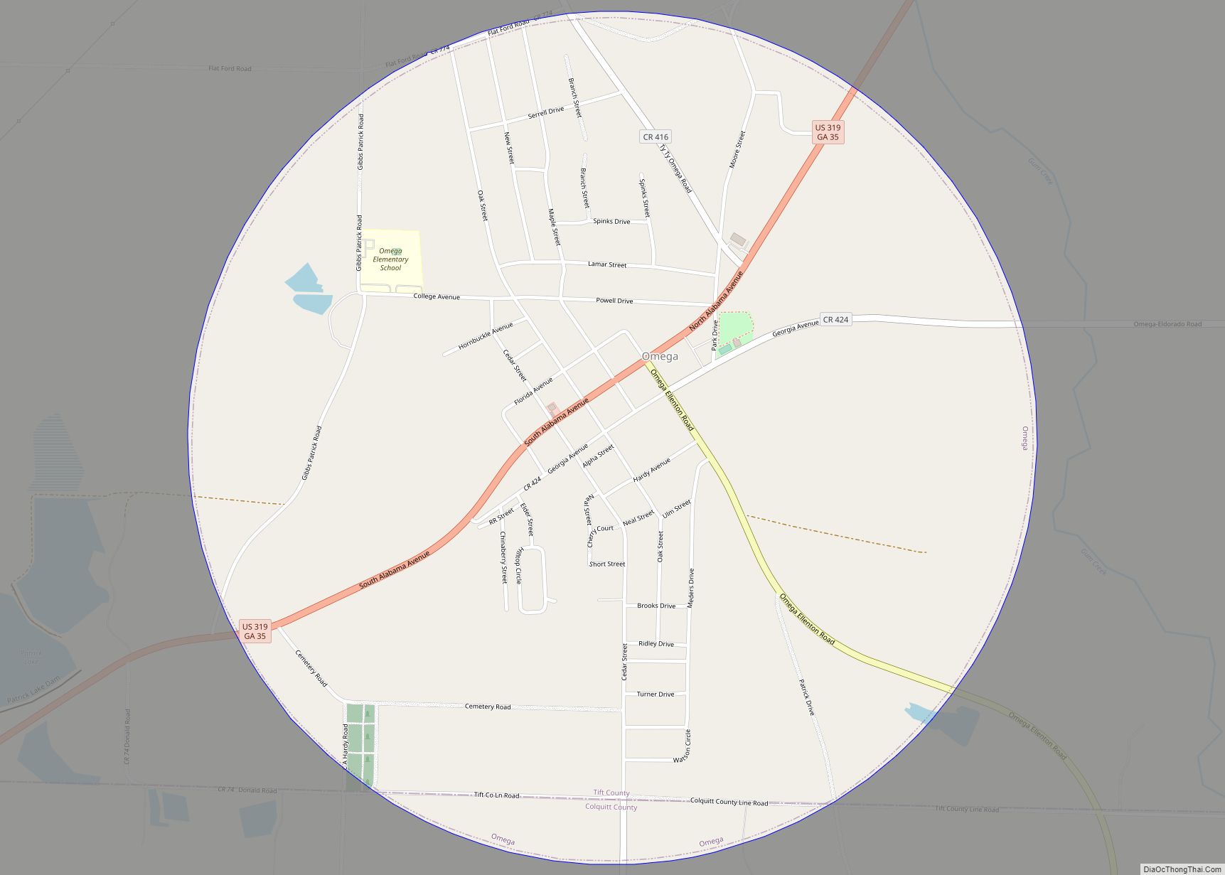
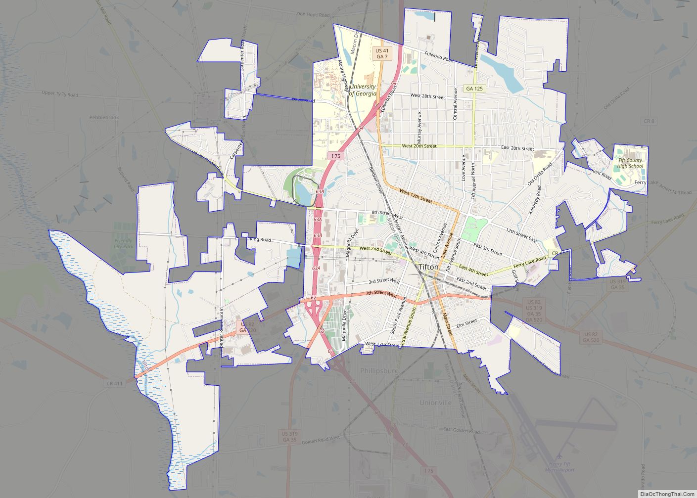
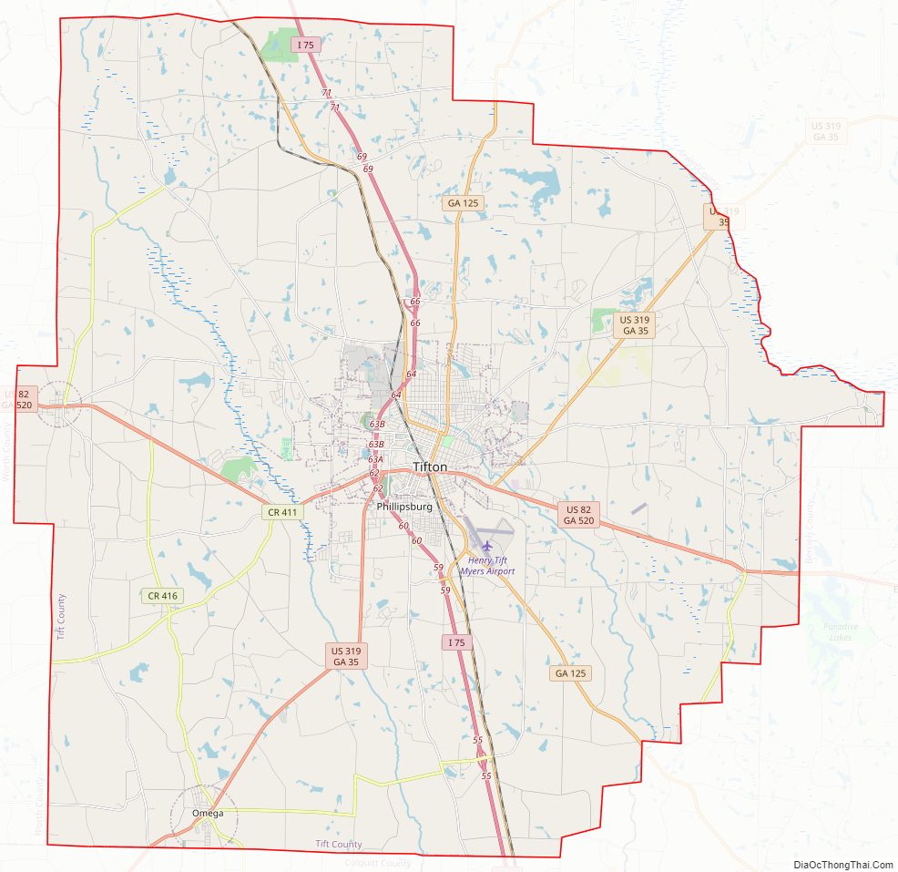
Tift County Road Map
Geography
According to the U.S. Census Bureau, the county has a total area of 269 square miles (700 km), of which 259 square miles (670 km) is land and 9.9 square miles (26 km) (3.7%) is water.
The western portion of Tift County, roughly west of Interstate 75, is located in the Little River sub-basin of the Suwannee River basin. The county’s southeastern third, from north of Tifton heading southeast, is located in the Withlacoochee River sub-basin of the same Suwannee River basin. The northeastern portion of the Tift County, east of Chula, is located in the Alapaha River sub-basin of the same larger Suwannee River basin.
Major highways
- Interstate 75
- U.S. Route 41
- U.S. Route 82
- U.S. Route 319
- State Route 7
- State Route 35
- State Route 125
- State Route 401 (unsigned designation for I-75)
- State Route 520
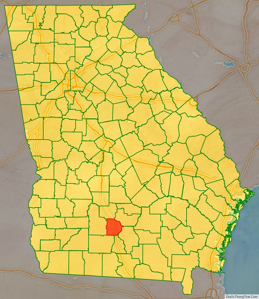
Adjacent counties
- Irwin County (northeast)
- Berrien County (southeast)
- Cook County (south)
- Colquitt County (southwest)
- Worth County (west)
- Turner County (northwest)
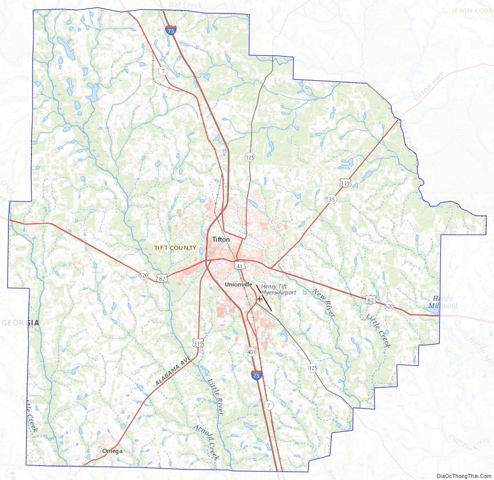
Tift County Topographic Map
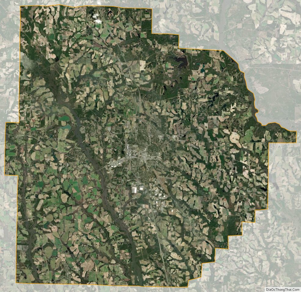
Tift County Satellite Map
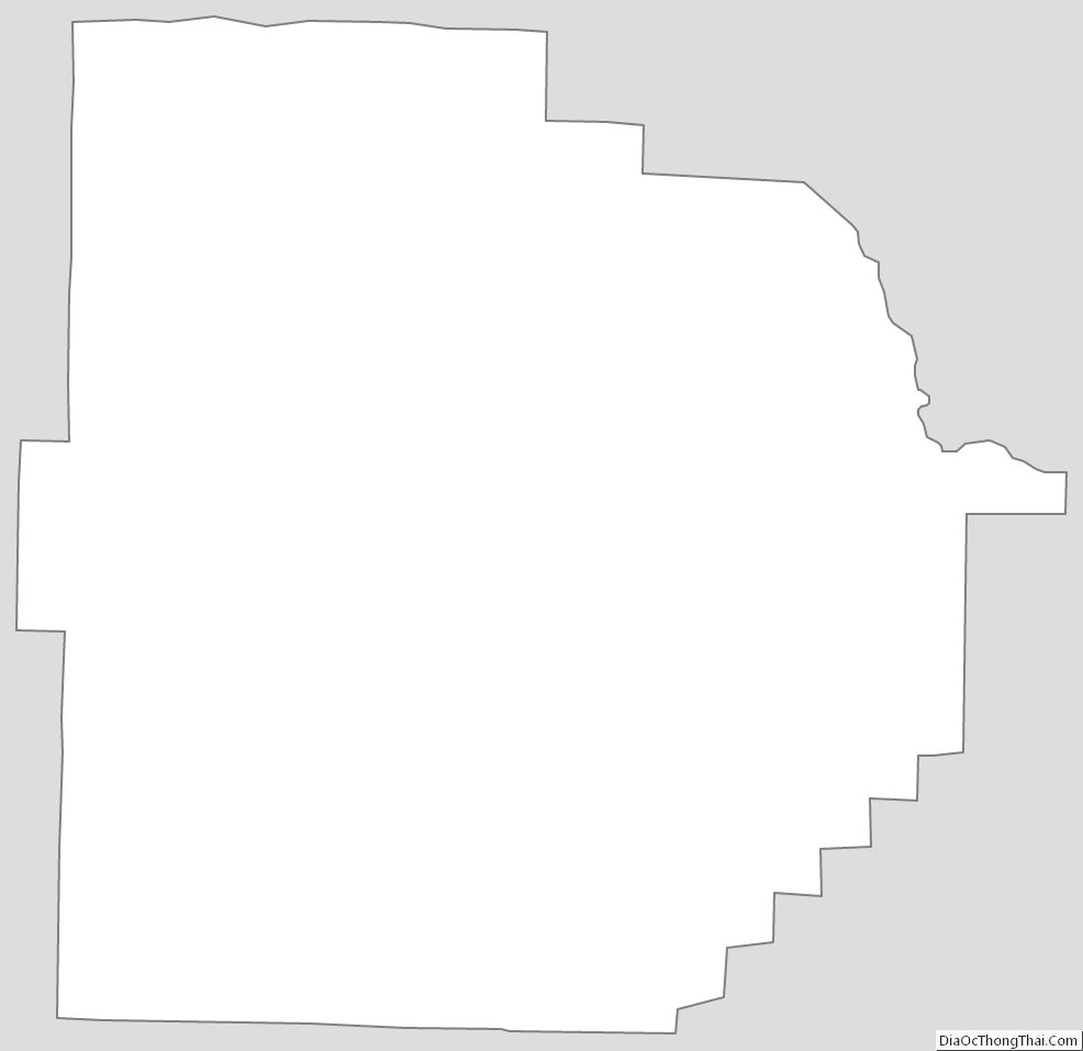
Tift County Outline Map