Coshocton County is a county located in the U.S. state of Ohio. As of the 2020 census, the population was 36,612. Its county seat and largest city is Coshocton. The county lies within the Appalachian region of the state. The county was formed on January 31, 1810, from portions of Muskingum and Tuscarawas Counties and later organized in 1811. Its name comes from the Delaware Indian language and has been translated as “union of waters” or “black bear crossing”. The Coshocton, OH Micropolitan Statistical Area includes all of Coshocton County.
| Name: | Coshocton County |
|---|---|
| FIPS code: | 39-031 |
| State: | Ohio |
| Founded: | April 1, 1811 |
| Named for: | “union of waters” or “black bear crossing” in Delaware (Lenape) language |
| Seat: | Coshocton |
| Largest city: | Coshocton |
| Total Area: | 567 sq mi (1,470 km²) |
| Land Area: | 564 sq mi (1,460 km²) |
| Total Population: | 36,612 |
| Population Density: | 65/sq mi (25/km²) |
| Time zone: | UTC−5 (Eastern) |
| Summer Time Zone (DST): | UTC−4 (EDT) |
| Website: | www.coshoctoncounty.net |
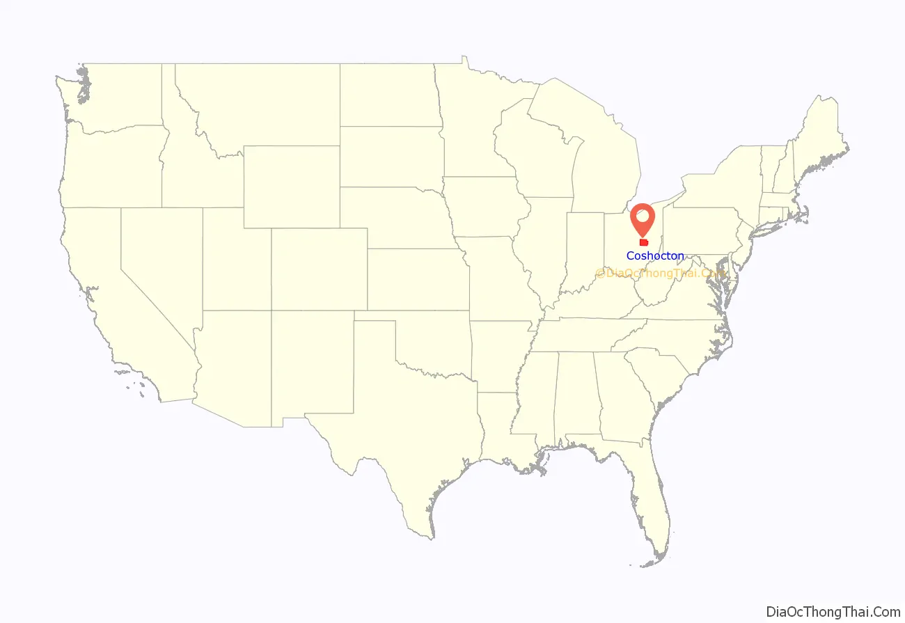
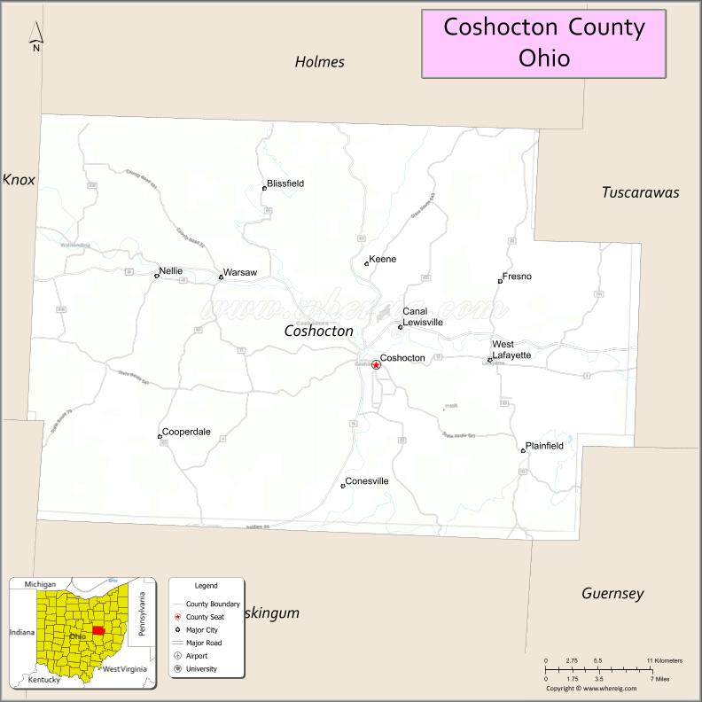
Coshocton County location map. Where is Coshocton County?
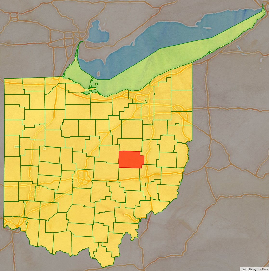
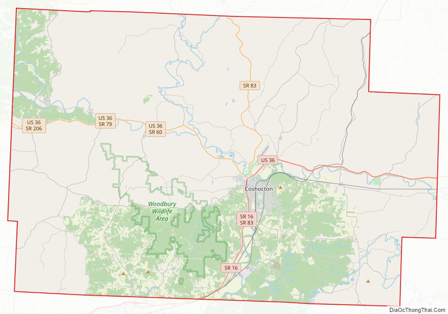
Coshocton County Road Map
Geography
According to the U.S. Census Bureau, the county has a total area of 567 square miles (1,470 km), of which 564 square miles (1,460 km) is land and 3.6 square miles (9.3 km) (0.6%) is water.
Adjacent counties
- Holmes County (north)
- Tuscarawas County (east)
- Guernsey County (southeast)
- Muskingum County (south)
- Licking County (southwest)
- Knox County (west)
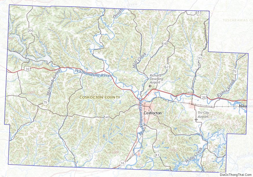
Coshocton County Topographic Map
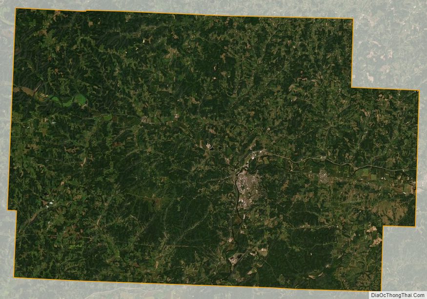
Coshocton County Satellite Map
Coshocton County Outline Map