Coshocton (/kəˈʃɒktən/) is a city in and the county seat of Coshocton County, Ohio, United States approximately 63 mi (102 km) ENE of Columbus. The population was 11,050 at the 2020 census. The Walhonding River and the Tuscarawas River meet in Coshocton to form the Muskingum River.
Coshocton contains Roscoe Village, a restored town of the canal era, located next to the former Ohio and Erie Canal. A heritage tourist attraction, it showcases the area’s unique canal history. The city was developed on the site of a former Lenape village established in the late 1770s by bands who had migrated from the East under European oppression. Coshocton is the principal city of the Coshocton micropolitan area.
| Name: | Coshocton city |
|---|---|
| LSAD Code: | 25 |
| LSAD Description: | city (suffix) |
| State: | Ohio |
| County: | Coshocton County |
| Elevation: | 771 ft (235 m) |
| Total Area: | 8.17 sq mi (21.16 km²) |
| Land Area: | 8.00 sq mi (20.73 km²) |
| Water Area: | 0.17 sq mi (0.43 km²) |
| Total Population: | 11,050 |
| Population Density: | 1,380.56/sq mi (533.07/km²) |
| FIPS code: | 3918868 |
| GNISfeature ID: | 1056840 |
| Website: | www.cityofcoshocton.com |
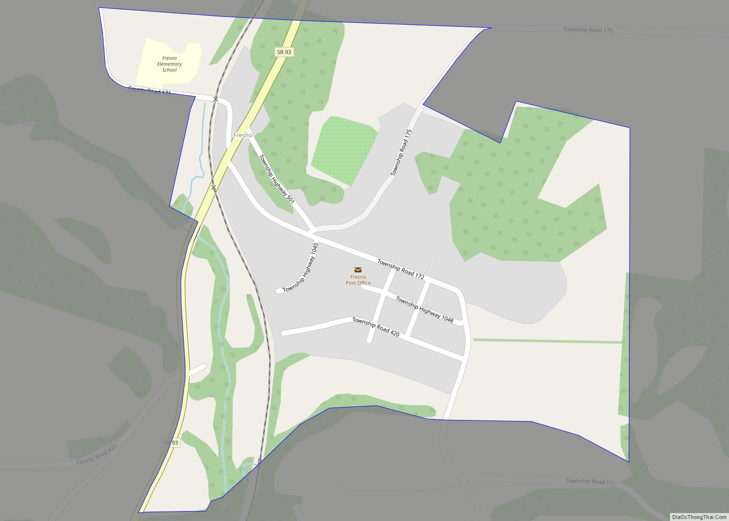
Online Interactive Map
Click on ![]() to view map in "full screen" mode.
to view map in "full screen" mode.
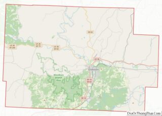
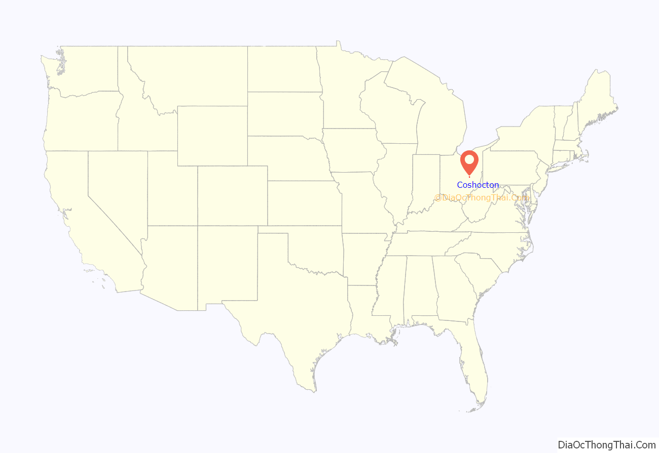
Coshocton location map. Where is Coshocton city?
History
The Lenape sympathetic to the new United States stayed near Coshocton. White Eyes, then leader of the Lenape people, signed the Treaty of Fort Pitt of 1778, by which the Lenape hoped to secure their safety during the War, and he promised scouts and support to the rebel colonists.
In retaliation for frontier raids by hostile Lenape and British, Colonel Daniel Brodhead of the Continental Army ignored the treaty. After indiscriminately raiding and destroying the peaceful Moravian Christian Lenape settlement of Indaochaic also known as Lichtenau, he attacked and destroyed the Lenape at Coshocton in April 1781.
Coshocton was originally called Tuscarawas by American colonists, after the river, and under the latter name was laid out in 1802. The young town was renamed Coshocton when it was designated county seat by the legislature in 1811.
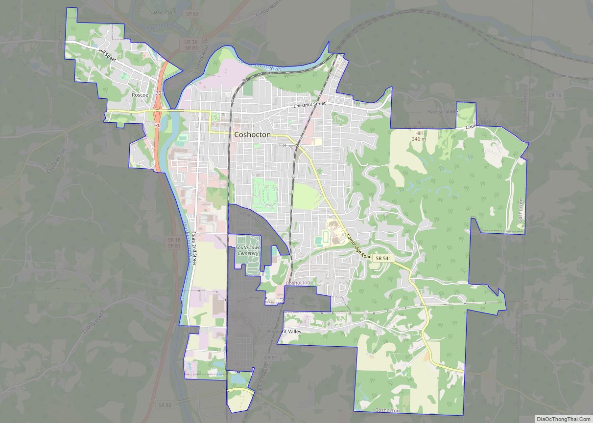
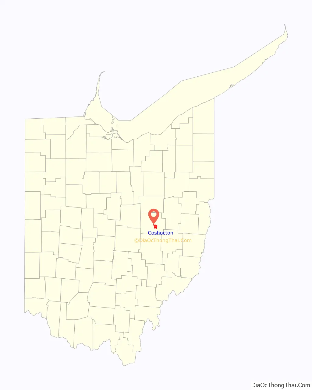
Coshocton Road Map
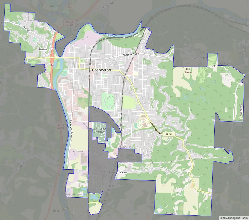
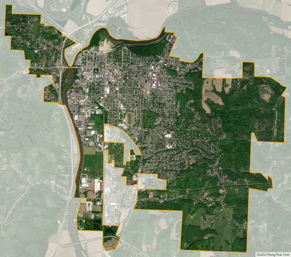
Coshocton city Satellite Map
Geography
Coshocton is located at 40°16′4″N 81°51′24″W / 40.26778°N 81.85667°W / 40.26778; -81.85667 (40.267786, −81.856628).
According to the United States Census Bureau, the city has a total area of 8.20 square miles (21.24 km), of which 8.08 square miles (20.93 km) is land and 0.12 square miles (0.31 km) is water.
Climate
See also
Map of Ohio State and its subdivision:- Adams
- Allen
- Ashland
- Ashtabula
- Athens
- Auglaize
- Belmont
- Brown
- Butler
- Carroll
- Champaign
- Clark
- Clermont
- Clinton
- Columbiana
- Coshocton
- Crawford
- Cuyahoga
- Darke
- Defiance
- Delaware
- Erie
- Fairfield
- Fayette
- Franklin
- Fulton
- Gallia
- Geauga
- Greene
- Guernsey
- Hamilton
- Hancock
- Hardin
- Harrison
- Henry
- Highland
- Hocking
- Holmes
- Huron
- Jackson
- Jefferson
- Knox
- Lake
- Lake Erie
- Lawrence
- Licking
- Logan
- Lorain
- Lucas
- Madison
- Mahoning
- Marion
- Medina
- Meigs
- Mercer
- Miami
- Monroe
- Montgomery
- Morgan
- Morrow
- Muskingum
- Noble
- Ottawa
- Paulding
- Perry
- Pickaway
- Pike
- Portage
- Preble
- Putnam
- Richland
- Ross
- Sandusky
- Scioto
- Seneca
- Shelby
- Stark
- Summit
- Trumbull
- Tuscarawas
- Union
- Van Wert
- Vinton
- Warren
- Washington
- Wayne
- Williams
- Wood
- Wyandot
- Alabama
- Alaska
- Arizona
- Arkansas
- California
- Colorado
- Connecticut
- Delaware
- District of Columbia
- Florida
- Georgia
- Hawaii
- Idaho
- Illinois
- Indiana
- Iowa
- Kansas
- Kentucky
- Louisiana
- Maine
- Maryland
- Massachusetts
- Michigan
- Minnesota
- Mississippi
- Missouri
- Montana
- Nebraska
- Nevada
- New Hampshire
- New Jersey
- New Mexico
- New York
- North Carolina
- North Dakota
- Ohio
- Oklahoma
- Oregon
- Pennsylvania
- Rhode Island
- South Carolina
- South Dakota
- Tennessee
- Texas
- Utah
- Vermont
- Virginia
- Washington
- West Virginia
- Wisconsin
- Wyoming