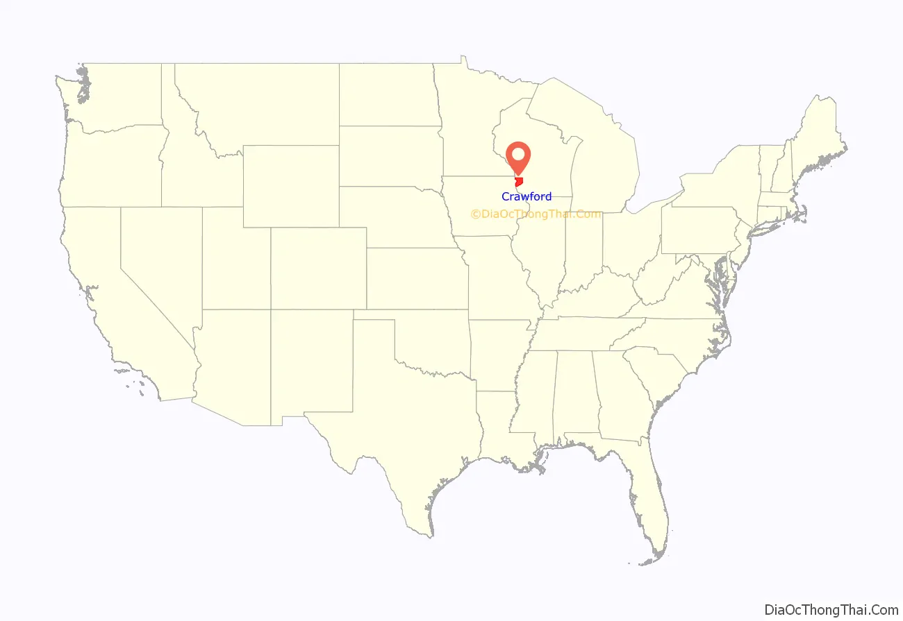
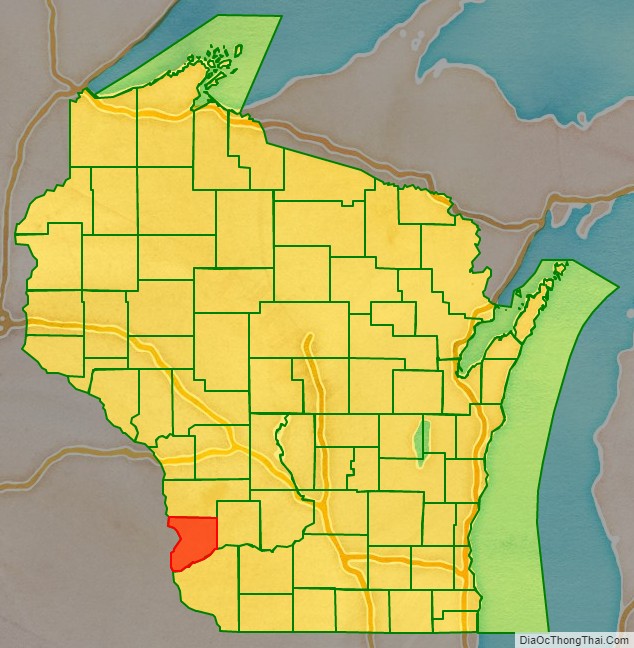
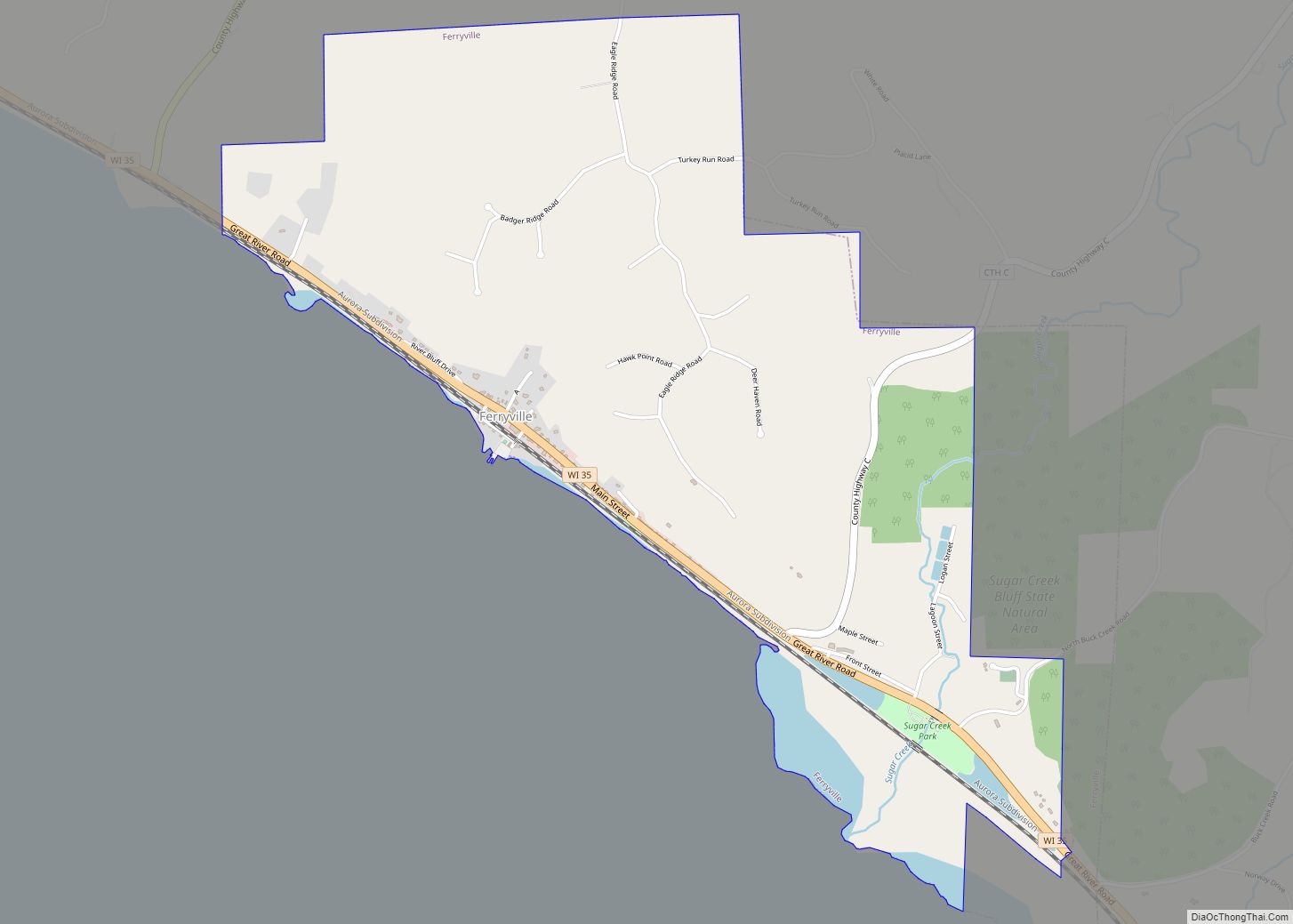
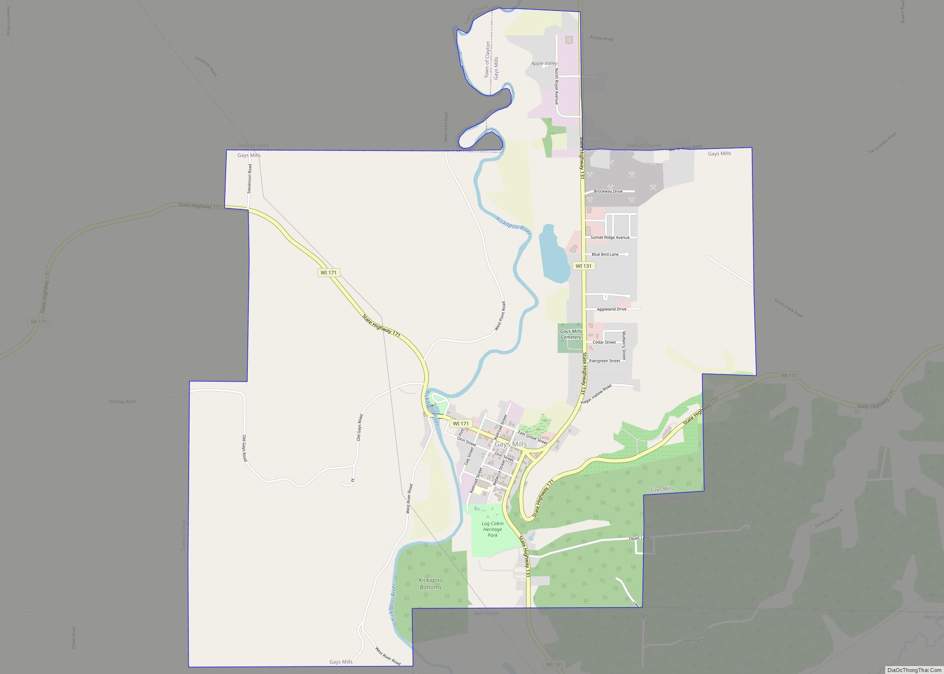
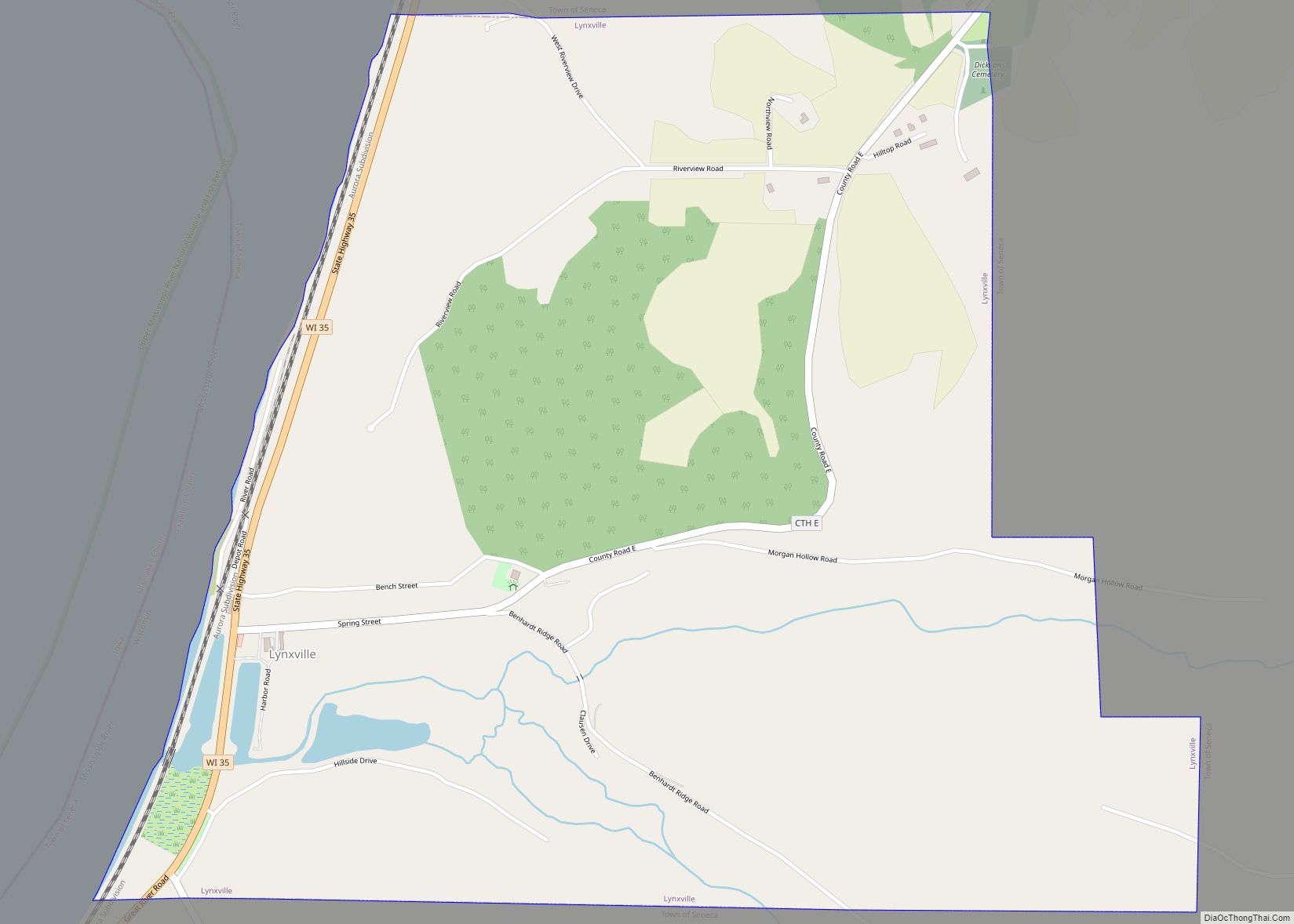
Crawford County is a county in the southwest part of the U.S. state of Wisconsin. As of the 2020 census, the population was 16,113. Its county seat is Prairie du Chien.
| Name: | Crawford County |
|---|---|
| FIPS code: | 55-023 |
| State: | Wisconsin |
| Founded: | 1818 |
| Named for: | William H. Crawford |
| Seat: | Prairie du Chien |
| Largest city: | Prairie du Chien |
| Total Area: | 599 sq mi (1,550 km²) |
| Land Area: | 571 sq mi (1,480 km²) |
| Total Population: | 16,113 |
| Population Density: | 28.2/sq mi (10.9/km²) |
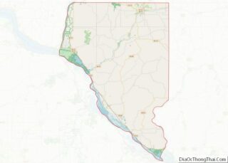
Crawford County location map. Where is Crawford County?
History
Along with Brown County, Crawford County is one of Wisconsin’s original counties, established by the Michigan Territorial legislature in 1818, and named after William H. Crawford, James Monroe’s Treasurer at the time. It originally covered the western half of Wisconsin’s present area. In 1836, it was transferred to the newly formed Wisconsin Territory as Michigan prepared for statehood and has gradually been subdivided into its present area.
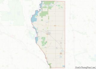
Crawford County Road Map
Geography
According to the U.S. Census Bureau, the county has an area of 599 square miles (1,550 km), of which 571 square miles (1,480 km) is land and 29 square miles (75 km) (4.8%) is water. The county’s highest point is near St. James Church in Rising Sun.
Three rivers run through the county: The Kickapoo River, nicknamed “the crookedest river in Wisconsin” was carved out by glacial run-off. It is considered one of the best Class 1 paddling rivers in the Midwest.
- The Wisconsin River borders the county’s southern edge. Although it is the state’s busiest river, its run within the county is tranquil, with high bluff escarpments and sandy islands.
- The Mississippi River, serves as the county’s western border. The steep limestone cliffs are interspersed with bluffs and prairies.
Adjacent counties
- Vernon County – north
- Richland County – east
- Grant County – south
- Clayton County, Iowa – southwest
- Allamakee County, Iowa – west
