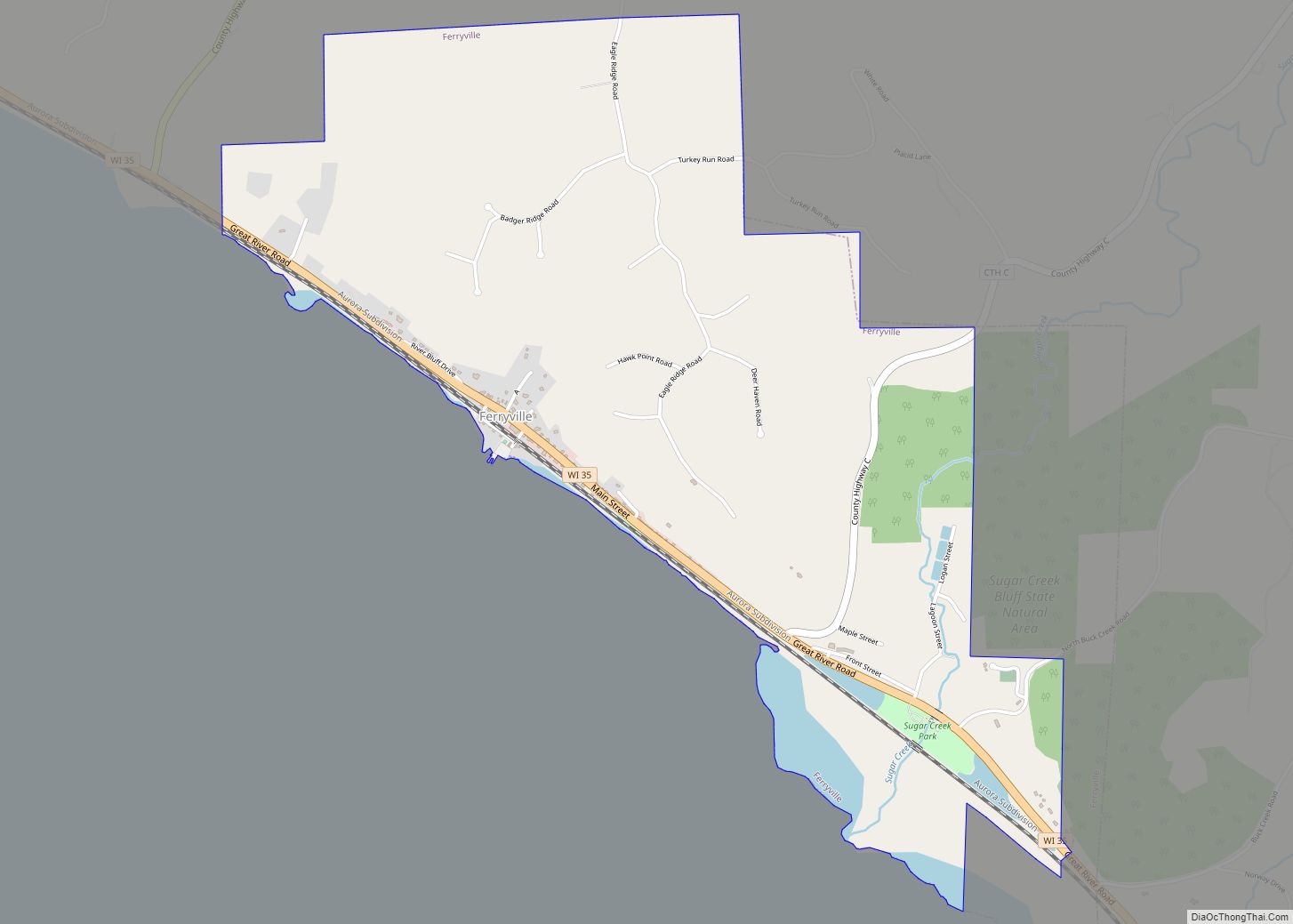
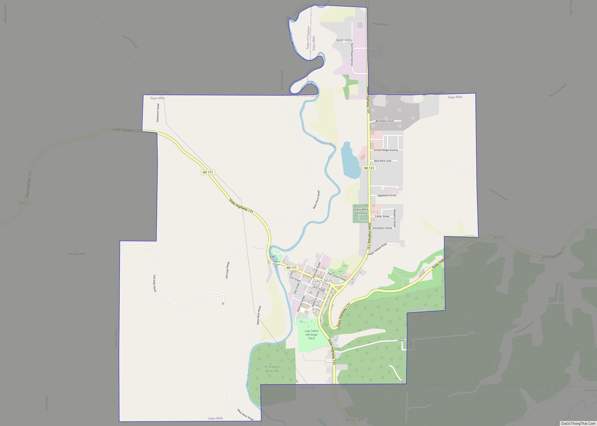
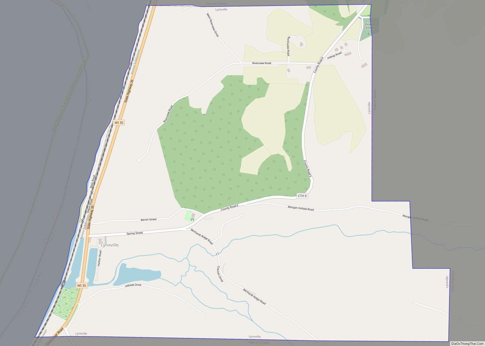
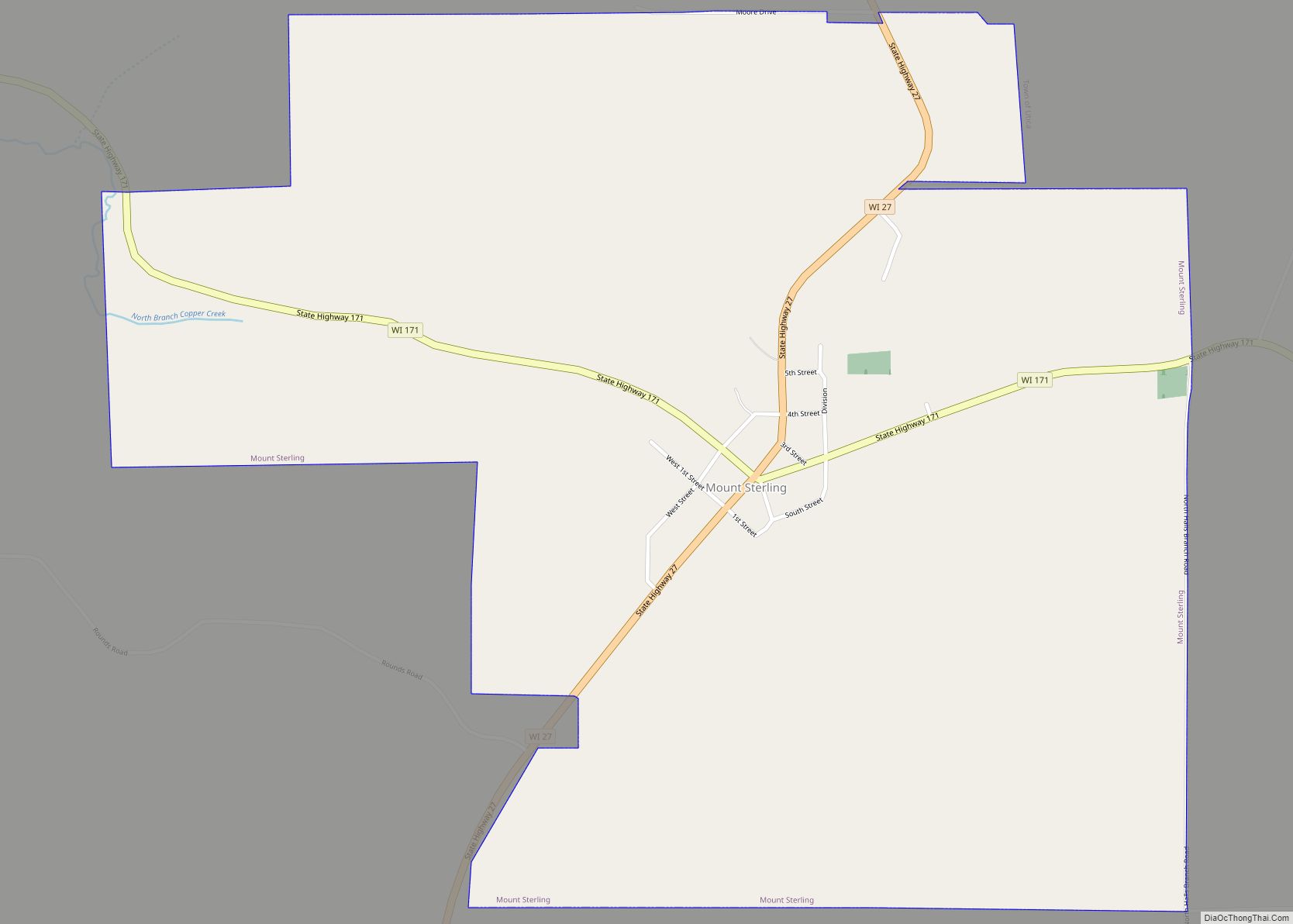
Prairie du Chien (/ˌprɛri du ˈʃiːn/) is a city in and the county seat of Crawford County, Wisconsin, United States. The population was 5,506 at the 2020 census. Its ZIP Code is 53821.
Often called Wisconsin’s second-oldest city, Prairie du Chien was established as a European settlement by French voyageurs in the late 17th century. Its settlement date of June 17, 1673, makes it the fourth colonial settlement by European settlers in the Midwestern United States, after Green Bay, Wisconsin, Sault Ste. Marie, Michigan, and St. Ignace, Michigan. The city has many sites showing its rich history in the region.
Prairie du Chien is near the confluence of the Wisconsin and Mississippi rivers, a strategic point along the Fox-Wisconsin Waterway that connects the Great Lakes with the Mississippi. This location offered early French missionaries and explorers their first access and entrance to the Mississippi River.
Early French visitors to the site found it occupied by a group of Fox Indians led by a chief whose name Alim meant chien in French (“dog” in English). The French explorers named the location Prairie du Chien, French for “Dog’s Meadow”. Originally this name applied only to the plain upon which the settlement lay, but it was later applied to the city as well. The city of Prairie du Chien is between the Town of Prairie du Chien and the Town of Bridgeport.
| Name: | Prairie du Chien city |
|---|---|
| LSAD Code: | 25 |
| LSAD Description: | city (suffix) |
| State: | Wisconsin |
| County: | Crawford County |
| Total Area: | 6.47 sq mi (16.76 km²) |
| Land Area: | 5.84 sq mi (15.13 km²) |
| Water Area: | 0.63 sq mi (1.63 km²) |
| Total Population: | 5,506 |
| Population Density: | 942.3/sq mi (363.8/km²) |
| ZIP code: | 53821 |
| Area code: | 608 |
| FIPS code: | 5565050 |
| Website: | www.prairieduchien.info |
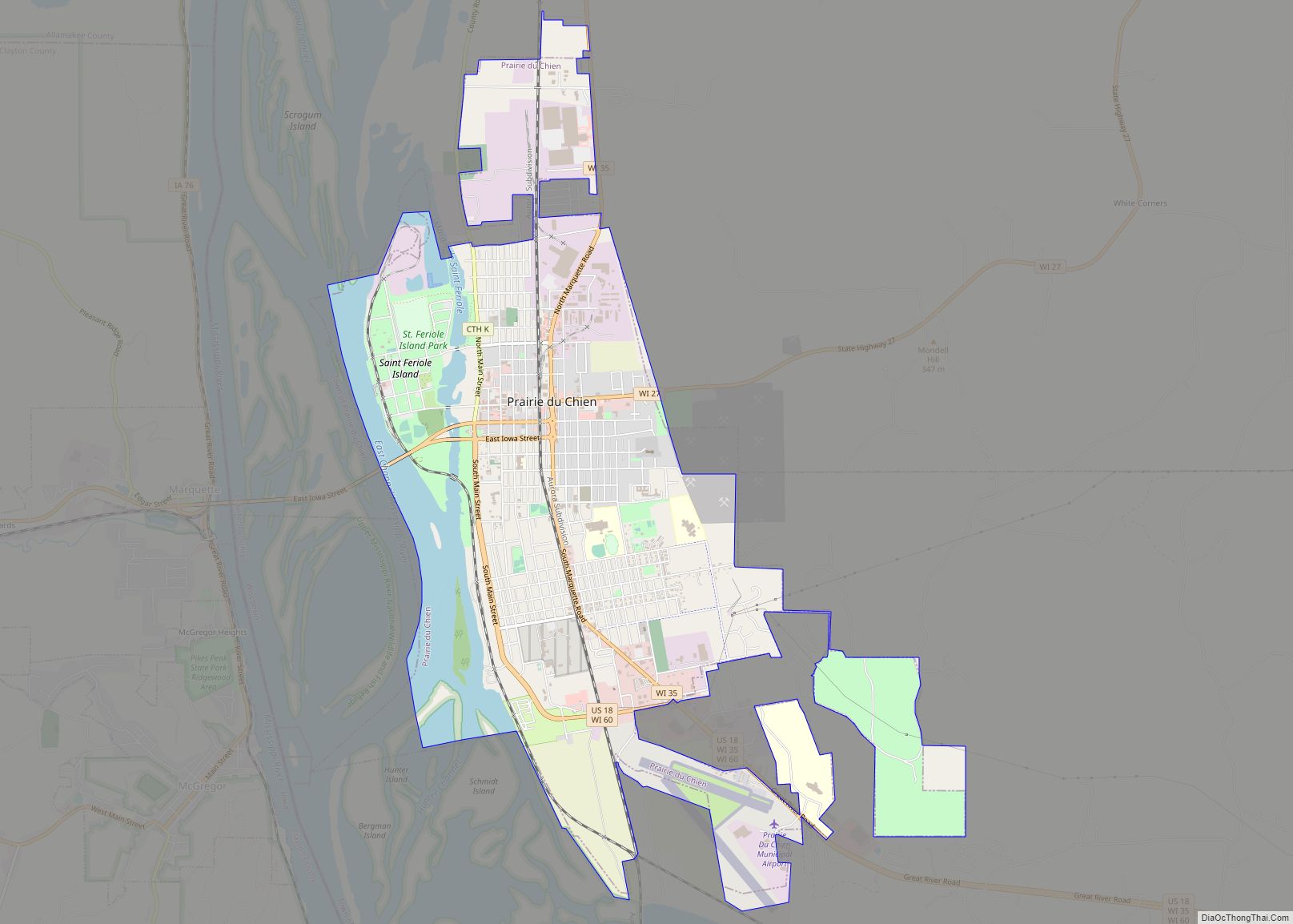
Online Interactive Map
Click on ![]() to view map in "full screen" mode.
to view map in "full screen" mode.
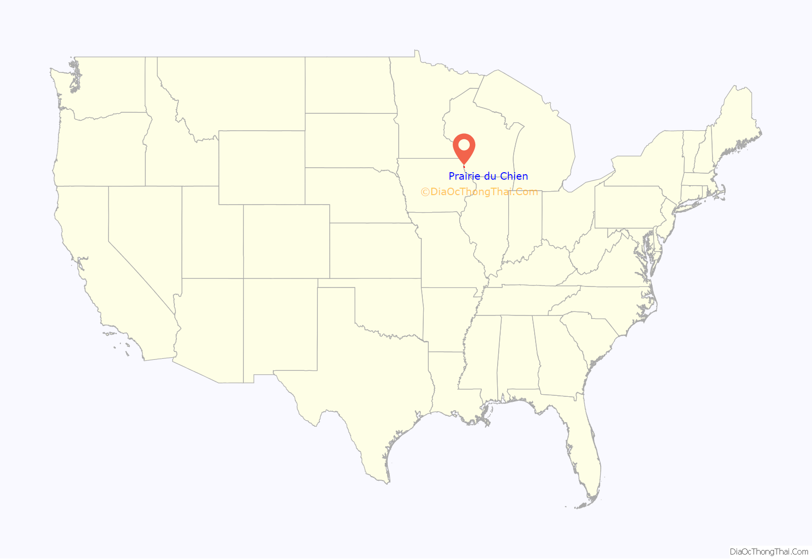
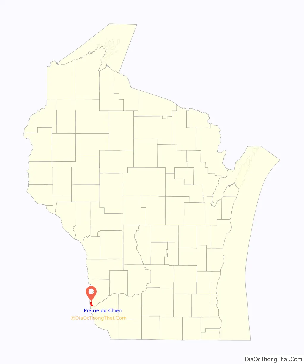
Prairie du Chien location map. Where is Prairie du Chien city?
History
The first known Europeans to reach Prairie du Chien were French explorers Jacques Marquette and Louis Joliet, who arrived by canoe on June 17, 1673, discovering a route to the Mississippi River. Later travel between Canada and the Mississippi River continued to pass through Prairie du Chien, although routes via the Illinois River were also used. In 1685, the French explorer Nicolas Perrot established a trading post in the area as part of the large and lucrative French fur trade industry. After John Jacob Astor’s machinations had closed the entire government fur trade factory system and the federal factory established in Prairie du Chien in 1815, the American Fur Company became established in the area and later built the Astor Fur Warehouse, an important building in the regional fur trade, which was centered in Prairie du Chien. Prairie du Chien’s significance as a center of the fur trade did not diminish until the mid-19th century, when European demand declined, as did game stock.
In 1763, after Great Britain defeated France in the French and Indian War (part of the Seven Years’ War), it took possession of the French territory in North America east of the Mississippi River, including Prairie du Chien. During the American Revolutionary War, the city was used as a meeting point for British troops and their Native American allies. After the American victory, the Treaty of Paris (1783) granted the area to the new United States of America, but the British and their Loyalists were slow to withdraw. Only after the War of 1812 did the city become fully American.
The U.S. was slow to present any authority over Prairie du Chien, but late in the War of 1812, when the government realized the importance of holding the site to prevent British attacks from Canada, it began construction of Fort Shelby in 1814. In July, British soldiers captured the fort during the Siege of Prairie du Chien. The British maintained control over the city until the war’s end in 1815. Not wanting another invasion through Prairie du Chien, the Americans constructed Fort Crawford in 1816.
The fort was the site of the negotiations and signing of the Treaties of Prairie du Chien (1825 and 1830), by which the Fox and Sauk ceded much of their land to the U.S. Representing them and the United Nations of the Chippewa, Ottawa and Pottawatomie in the 1829 negotiations was Billy Caldwell, of Scots-Irish and Mohawk descent. He became involved with the Pottawatomie after moving as a young man to the U.S. from Canada.
In 1829, the army doctor William Beaumont carried out many experiments on digestion in the hospital at Fort Crawford. Beaumont’s discoveries are still the basis of current knowledge of the human digestive process.
Colonel Zachary Taylor, who later became the 12th U.S. president, was the commanding officer at Fort Crawford during the Black Hawk War of 1832. Taylor oversaw the surrender of Black Hawk in Prairie du Chien. Lieutenant Jefferson Davis, who later became president of the Confederate States of America, was stationed at Fort Crawford at the same time. There, Davis met Taylor’s daughter, Sarah “Knoxie” Taylor, whom he married in 1835.
Outside the fort’s walls, early-19th-century life in Prairie du Chien was still dominated by the fur trade. Prairie du Chien’s best-known traders during this time were Michel Brisbois, Joseph Rolette, Nathan Myrick, and Hercules L. Dousman. Dousman built a fortune in the fur trade, which, combined with income from investments in land, steamboats, and railroads, propelled him to become Wisconsin’s first millionaire. He died in 1868, and his son, H. Louis Dousman, inherited much of his fortune. In 1870, Louis Dousman used his inheritance to construct a luxurious Victorian mansion at the site of the former Fort Shelby. When he died unexpectedly in 1886, his family renamed the home “Villa Louis” in his memory. The Dousman family continued to occupy the home until 1913. In 1952, the mansion became Wisconsin’s first state-operated historic site.
After the fur trade declined in the mid-19th century, Prairie du Chien’s attention shifted to agriculture and the railroad. Although the city was first connected to the Milwaukee & Mississippi Railroad in 1857, the width of the Mississippi River posed a challenge for further expansion of the railroad into Iowa. This problem was temporarily solved by disassembling the trains at Prairie du Chien and ferrying them across the river to be put back on the tracks on the other side. A better solution was found by Michael Spettel and John Lawler, who designed the permanent Pile-Pontoon Railroad Bridge to span the river in 1874. Lawler took most of the credit for this invention, and made a small fortune through its operation. The bridge remained in use until its removal in 1961.
Lawler later donated property to establish two Catholic boarding schools in Prairie du Chien, St. Mary’s Institute (now Mount Mary College of Milwaukee) and Campion High School in the later part of the century. St. Mary’s College remained in Prairie du Chien until 1928. Campion High School produced several notable alumni, including Vicente Fox, Congressman Leo Ryan, Governor Patrick Lucey, actors David Doyle, George Wendt, and Kevin McCarthy, and writer Garry Wills. It closed in 1975.
History of municipal government
Prairie du Chien was incorporated as the Borough of Prairie des Chiens on September 17, 1821, by the secretary of the Michigan Territory. It is the only municipality in Wisconsin other than Green Bay to have been known as a borough, rather than a city, town, or village. The borough existed for a few years before the government stopped operating in 1825.
In 1828, the Prairie du Chien area became a part of the Town of St. Anthony, which included all of Crawford County. (Crawford County itself included all of the western part of Michigan Territory.) In 1849, the Town of Prairie du Chien was created, consisting of most of present-day Crawford County. The city of Prairie du Chien was incorporated in 1872.
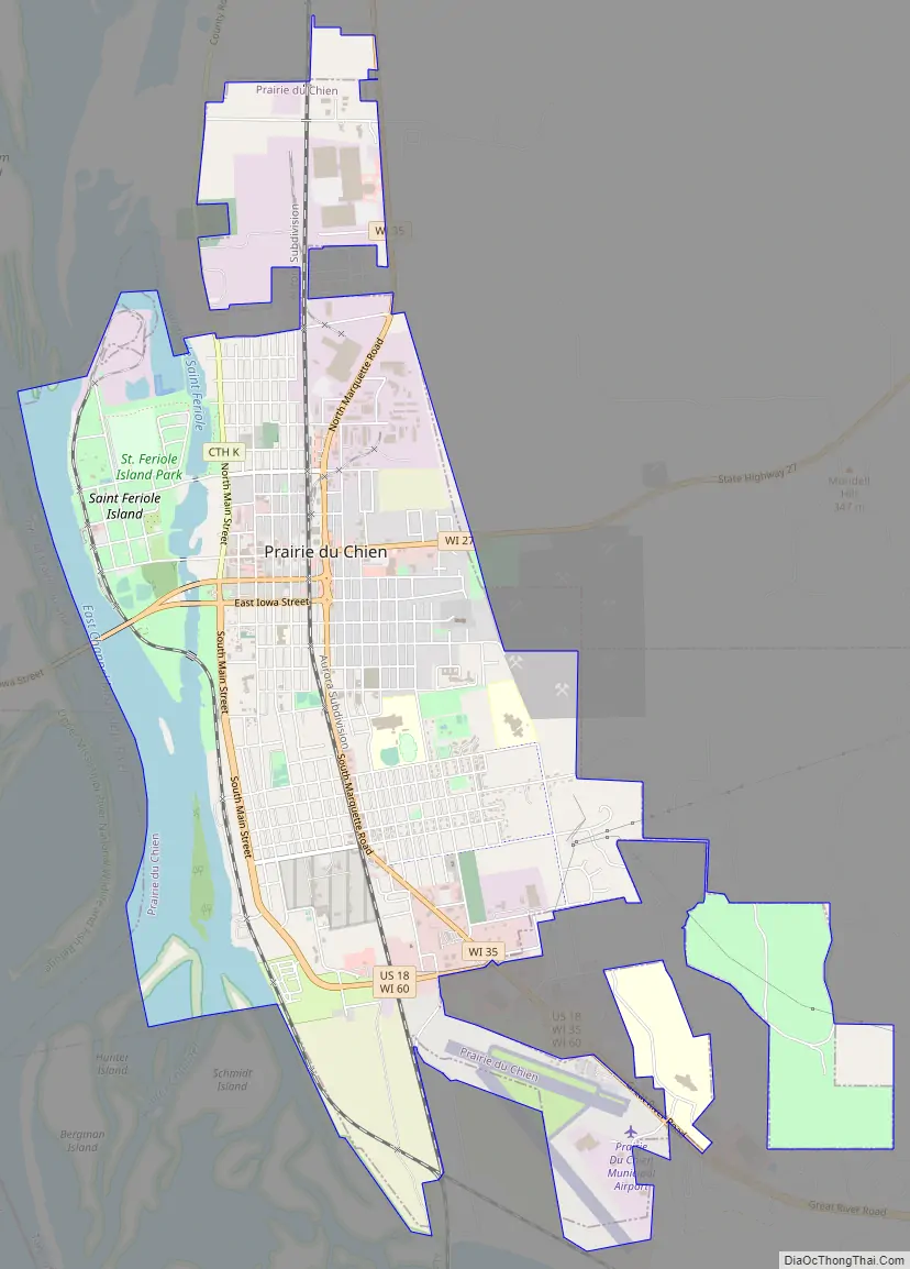
Prairie du Chien Road Map
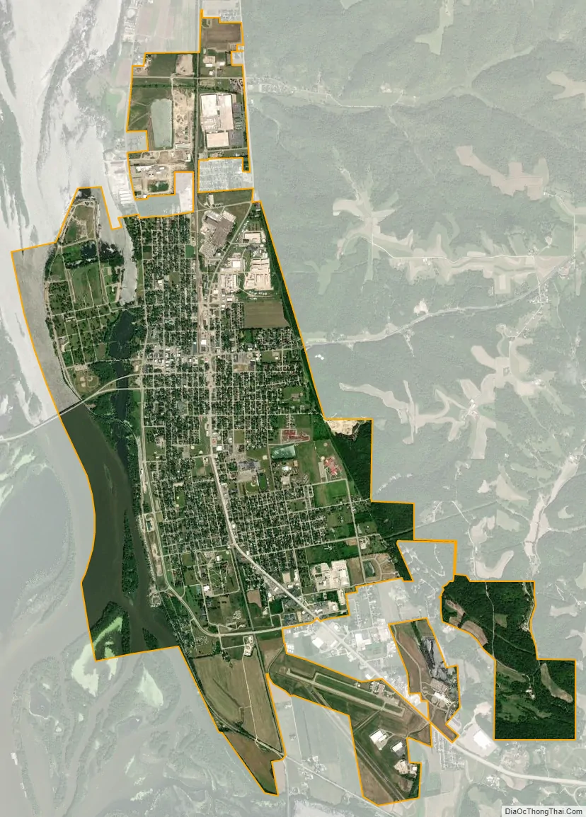
Prairie du Chien city Satellite Map
Geography
Prairie du Chien is in the Mississippi River Valley, upon a long triangular plain bounded on the west by the Mississippi River, on the south by the Wisconsin River, and on the east-northeast by a series of tall bluffs. According to the United States Census Bureau, the city has an area of 6.47 square miles (16.76 km), of which 5.84 square miles (15.13 km) is land and 0.63 square miles (1.63 km) is water. The city’s area encompasses most of the plain upon which it sits, but portions of the plain extend outside city limits. Just north of the city limits, where the plain forms part of the Town of Prairie du Chien, is a small unincorporated settlement known locally as “Frenchtown”. The plain also extends outside the city southward into the Town of Bridgeport. Here the plain ends, becoming the wetlands of the Wisconsin River Delta.
Both inside and outside the city limits, backwaters of the Mississippi River occasionally break across the far west side of the plain to form small islands. Most of these islands are too small and flood-prone to have ever been inhabited, but one just west of downtown Prairie du Chien formed the city’s fourth ward until a 1965 flood prompted its residents’ mandatory relocation to higher ground. During the relocation project, most buildings with no special historical significance were removed. Now called St. Feriole Island, the island serves as a 240-acre (1.0 km) city park.
Climate
Prairie du Chien has recorded Wisconsin’s highest temperatures for January, March, May, September, and November.
See also
Map of Wisconsin State and its subdivision:- Adams
- Ashland
- Barron
- Bayfield
- Brown
- Buffalo
- Burnett
- Calumet
- Chippewa
- Clark
- Columbia
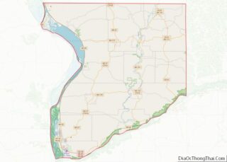
- Crawford
- Dane
- Dodge
- Door
- Douglas
- Dunn
- Eau Claire
- Florence
- Fond du Lac
- Forest
- Grant
- Green
- Green Lake
- Iowa
- Iron
- Jackson
- Jefferson
- Juneau
- Kenosha
- Kewaunee
- La Crosse
- Lafayette
- Lake Michigan
- Lake Superior
- Langlade
- Lincoln
- Manitowoc
- Marathon
- Marinette
- Marquette
- Menominee
- Milwaukee
- Monroe
- Oconto
- Oneida
- Outagamie
- Ozaukee
- Pepin
- Pierce
- Polk
- Portage
- Price
- Racine
- Richland
- Rock
- Rusk
- Saint Croix
- Sauk
- Sawyer
- Shawano
- Sheboygan
- Taylor
- Trempealeau
- Vernon
- Vilas
- Walworth
- Washburn
- Washington
- Waukesha
- Waupaca
- Waushara
- Winnebago
- Wood
- Alabama
- Alaska
- Arizona
- Arkansas
- California
- Colorado
- Connecticut
- Delaware
- District of Columbia
- Florida
- Georgia
- Hawaii
- Idaho
- Illinois
- Indiana
- Iowa
- Kansas
- Kentucky
- Louisiana
- Maine
- Maryland
- Massachusetts
- Michigan
- Minnesota
- Mississippi
- Missouri
- Montana
- Nebraska
- Nevada
- New Hampshire
- New Jersey
- New Mexico
- New York
- North Carolina
- North Dakota
- Ohio
- Oklahoma
- Oregon
- Pennsylvania
- Rhode Island
- South Carolina
- South Dakota
- Tennessee
- Texas
- Utah
- Vermont
- Virginia
- Washington
- West Virginia
- Wisconsin
- Wyoming