Richland County is a county in the U.S. state of Wisconsin. As of the 2020 census, the population was 17,304. Its county seat is Richland Center. The county was created from the Wisconsin Territory in 1842 and organized in 1850. It is named for the high quality of its soil.
| Name: | Richland County |
|---|---|
| FIPS code: | 55-103 |
| State: | Wisconsin |
| Founded: | 1850 |
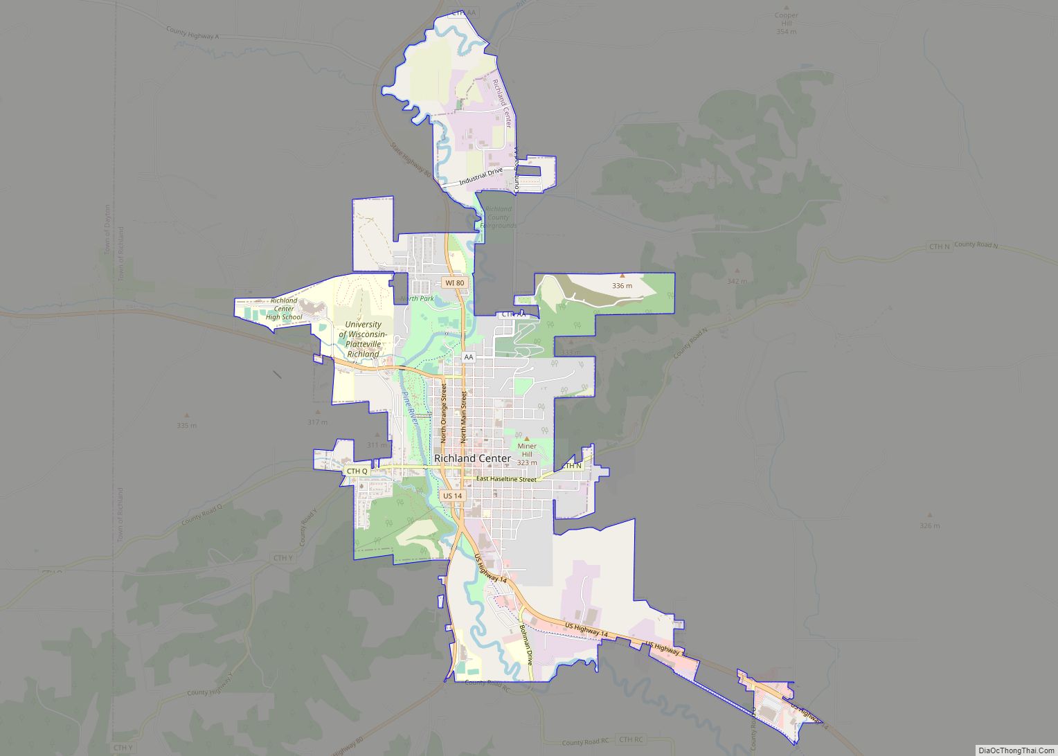
| Seat: | Richland Center |
| Largest city: | Richland Center |
| Total Area: | 589 sq mi (1,530 km²) |
| Land Area: | 586 sq mi (1,520 km²) |
| Total Population: | 17,304 |
| Population Density: | 29.5/sq mi (11.4/km²) |
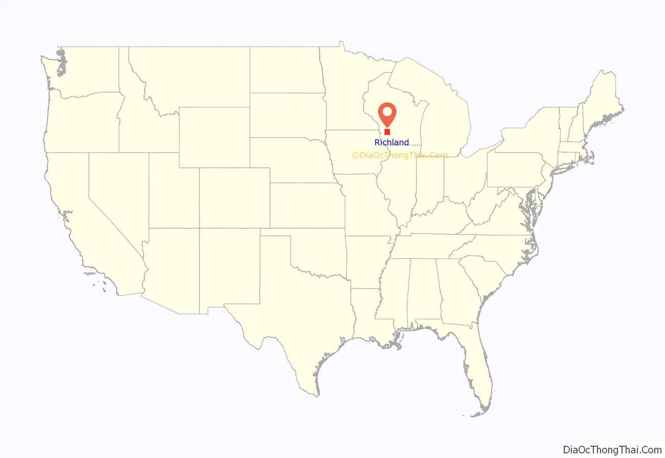
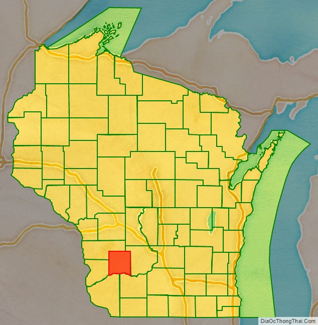
Richland County location map. Where is Richland County?
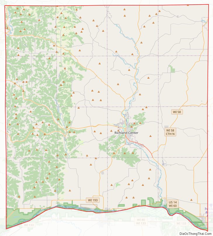
Richland County Road Map
Geography
According to the U.S. Census Bureau, the county has a total area of 589 square miles (1,530 km), of which 586 square miles (1,520 km) is land and 3.1 square miles (8.0 km) (0.5%) is water.
Major highways
- U.S. Highway 14
- Highway 56 (Wisconsin)
- Highway 58 (Wisconsin)
- Highway 60 (Wisconsin)
- Highway 80 (Wisconsin)
- Highway 130 (Wisconsin)
- Highway 131 (Wisconsin)
- Highway 154 (Wisconsin)
- Highway 171 (Wisconsin)
- Highway 193 (Wisconsin)
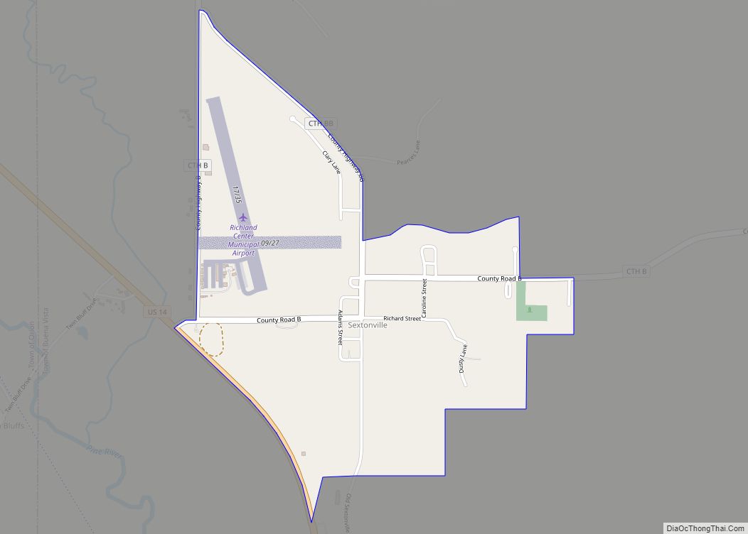
Airport
Richland Airport (93C) serves the county and surrounding communities.
Adjacent counties
- Vernon County – north
- Sauk County – east
- Iowa County – southeast
- Grant County – southwest
- Crawford County – west
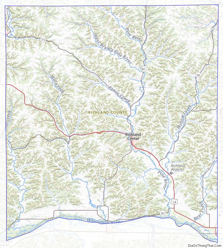
Richland County Topographic Map
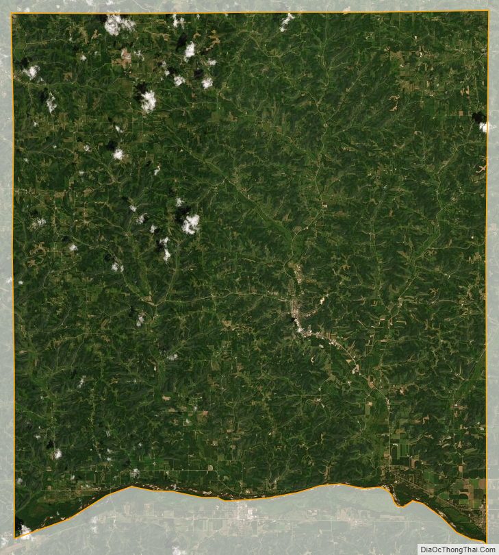
Richland County Satellite Map
Richland County Outline Map