Dawson County is a county located in the north-central portion of the U.S. state of Georgia. As of the 2020 census, the population was 26,798 up from 22,330 in 2010. The county seat is Dawsonville.
Dawson County is included in the Atlanta-Sandy Springs-Roswell, Georgia Metropolitan Statistical Area. Its natural resources include Amicalola Falls, the highest falls in Georgia and one of the Seven Natural Wonders of the state.
| Name: | Dawson County |
|---|---|
| FIPS code: | 13-085 |
| State: | Georgia |
| Founded: | 1857 |
| Named for: | William Crosby Dawson |
| Seat: | Dawsonville |
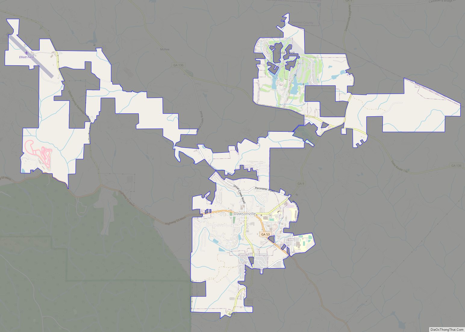
| Largest city: | Dawsonville |
| Total Area: | 214 sq mi (550 km²) |
| Land Area: | 211 sq mi (550 km²) |
| Total Population: | 26,798 |
| Time zone: | UTC−5 (Eastern) |
| Summer Time Zone (DST): | UTC−4 (EDT) |
| Website: | www.dawsoncounty.org |
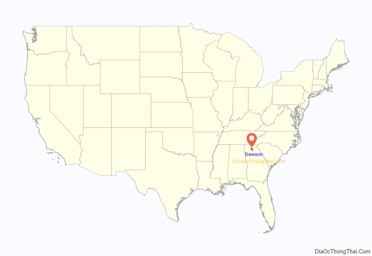
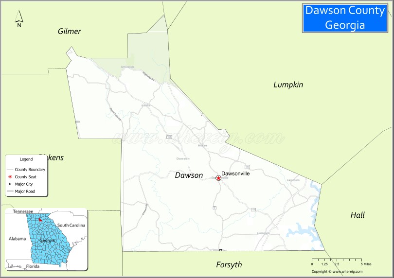
Dawson County location map. Where is Dawson County?
History
Dawson County was created on December 3, 1857, from Gilmer and Lumpkin Counties. It is named for William Crosby Dawson, a U.S. Senator from Georgia.
Civil War
The 1860s brought war and hardships to the people of Dawson County. Many men of Dawson County answered the call and went to fight in the Civil War. Several Confederate units were raised in Dawson County, including:
- 21st Regiment, Georgia Infantry, Company E Concord Rangers
- 22nd Regiment, Georgia Infantry, Company I, Dawson County Independents
- 38th Regiment, Georgia Infantry, Company I (Wright’s Legion), Dawson Farmers
- 38th Regiment, Georgia Infantry, Company L (Wright’s Legion)
- 52nd Regiment, Georgia Volunteer Infantry, Company I
The 1st Georgia Infantry Battalion (Union), Companies B and C also was raised there.
After Civil War to present
The county is known in its long involvement in auto racing, which was established in the 20th century; many of the original NASCAR racers came from this area. Local racing skills are said to have been developed by men who ran moonshine down Georgia State Route 9, also known as Thunder Road, to Atlanta. Celebrations of Dawson County’s history and of its “likker” involvement occur every October with the Moonshine Festival.
Locals have referred to Dawson County as the Moonshine Capital of the World. This title is claimed by many other areas, but is fiercely defended by residents of this area. They took advantage of its relative isolation and the ability to move so much moonshine to the larger cities, especially Atlanta, during the Prohibition era.
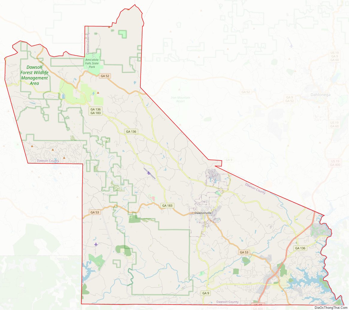
Dawson County Road Map
Geography
According to the U.S. Census Bureau, the county has a total area of 214 square miles (550 km), of which 211 square miles (550 km) are land and 3.6 square miles (9.3 km) (1.7%) are covered by water.
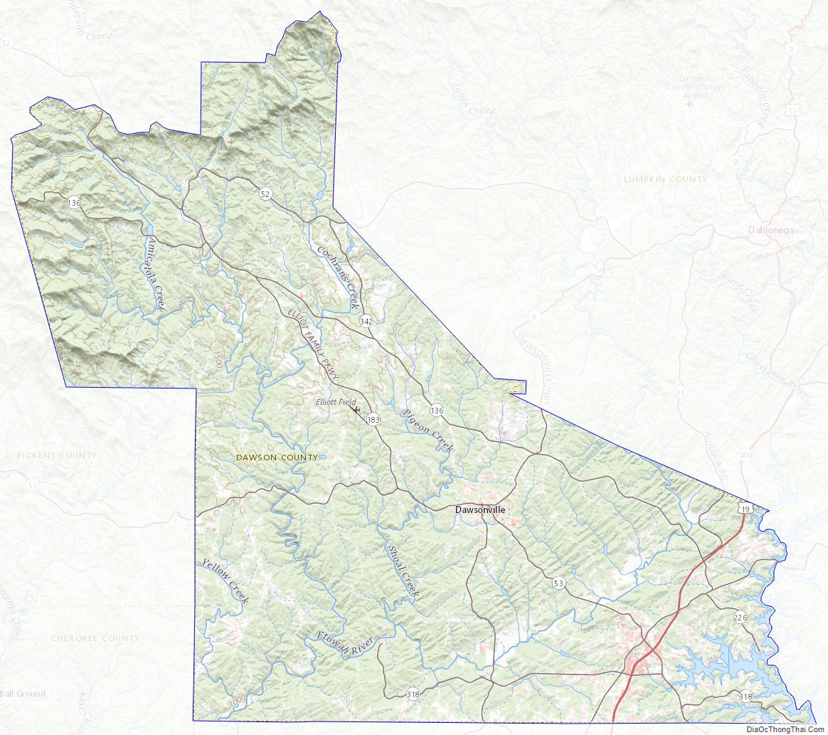
The county is located in the foothills of the Blue Ridge Mountains. Portions of the mountain chain extend into the far northern and western portions of the county, with elevations around 3,500 ft. in this area.
Part of Lake Lanier is in the southeastern part of the county and the boundary lines with neighboring counties pass through the lake. The 729-ft (222-m) Amicalola Falls, are located in the county. The Amicalola Falls are the highest in Georgia, the tallest cascading waterfall east of the Mississippi River, and one of the Seven Natural Wonders of Georgia. The highest point in the county is Black Mountain, with an elevation of 3,600 feet (1,100 m). The Chestatee and Etowah Rivers flow through Dawson County.
The vast majority of Dawson County is located in the Etowah River subbasin of the ACT River Basin (Coosa-Tallapoosa River Basin). The southeastern tip of the county is located in the Upper Chattahoochee River subbasin of the Apalachicola-Chattahoochee-Flint River Basin, and a very small northern section of Dawson County is located in the Coosawattee River subbasin of the larger ACT River Basin.
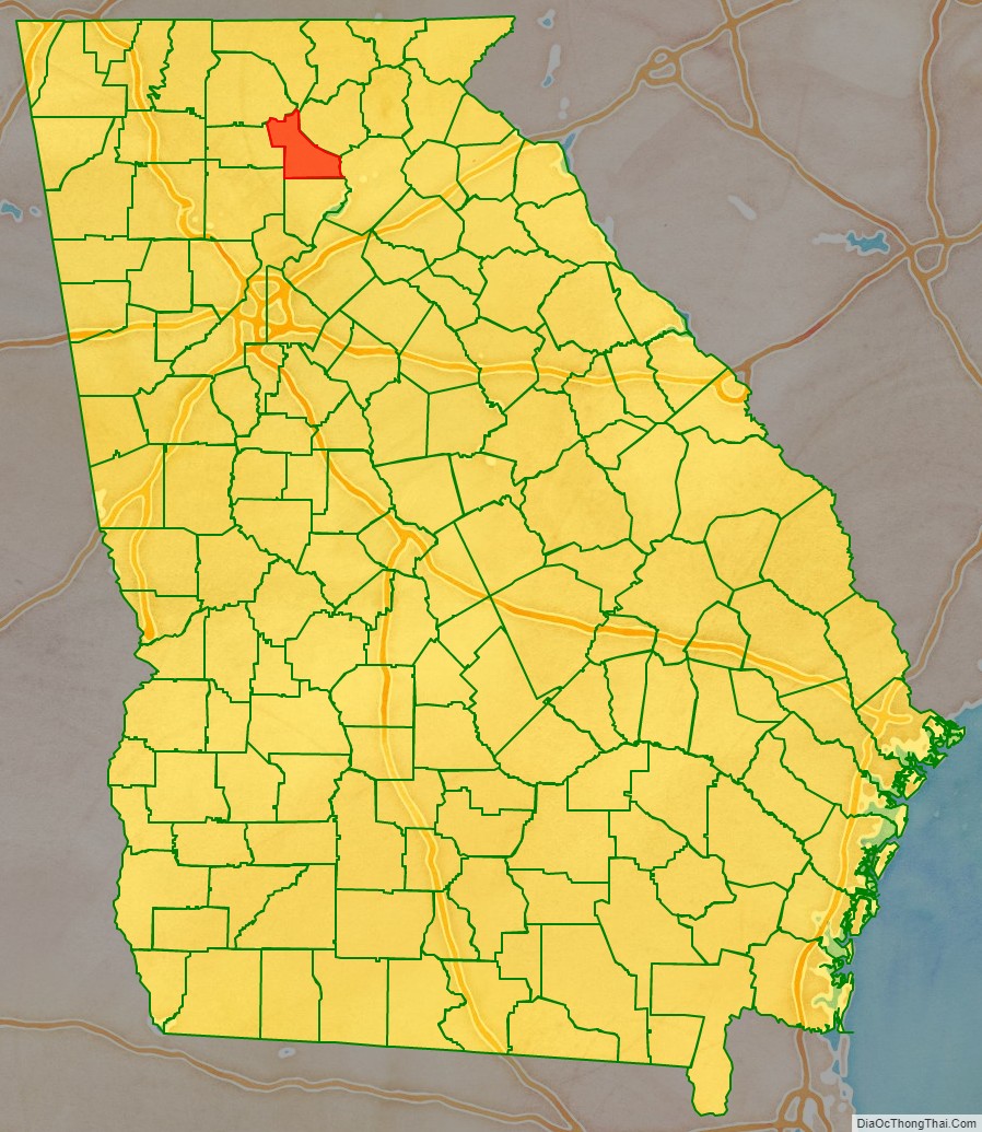
Adjacent counties
- Fannin County – north
- Lumpkin County – northeast
- Hall County – east
- Forsyth County – south
- Cherokee County – southwest
- Pickens County – west
- Gilmer County – northwest
National protected area
- Chattahoochee National Forest (part)
Dawson County Topographic Map
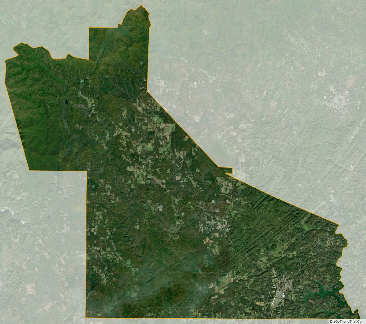
Dawson County Satellite Map
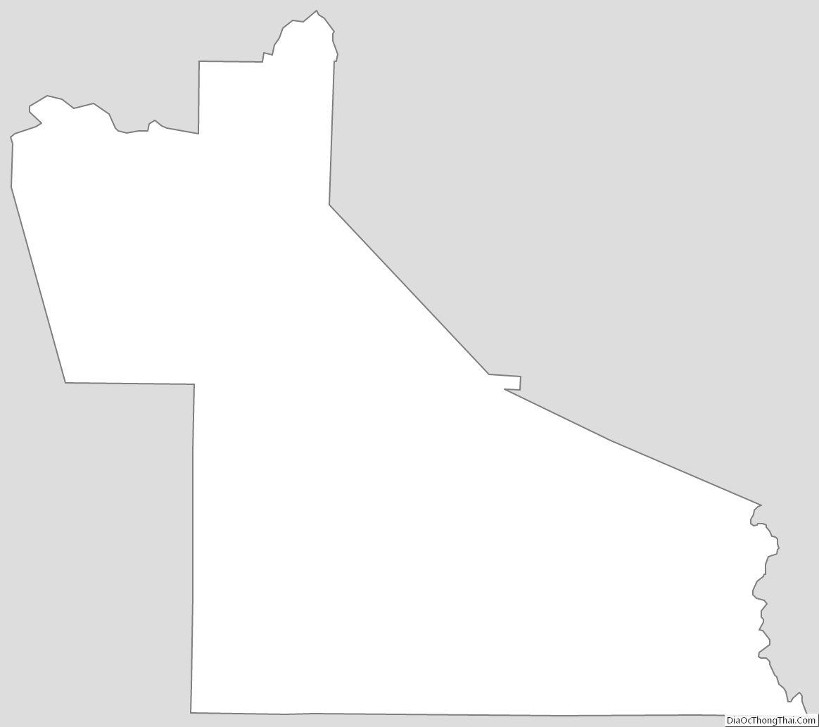
Dawson County Outline Map