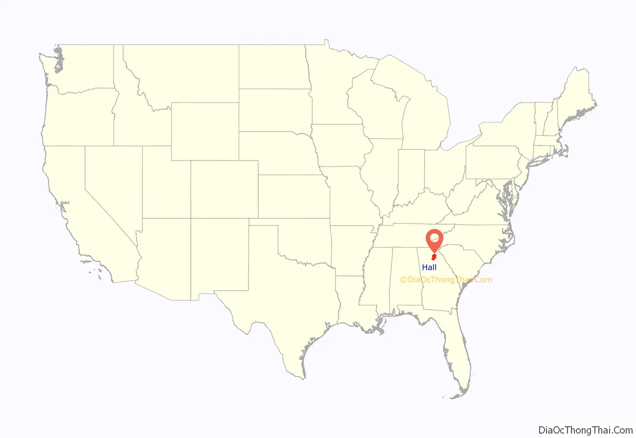
Hall County is a county located in the northeast portion of the U.S. state of Georgia. As of the 2020 census, the population was 203,136, up from 179,684 at the 2010 census. The county seat is Gainesville. The entirety of Hall County comprises the Gainesville, Georgia, Metropolitan Statistical Area, which is also part of the Atlanta-Athens-Clarke County-Sandy Springs, Combined Statistical Area.
| Name: | Hall County |
|---|---|
| FIPS code: | 13-139 |
| State: | Georgia |
| Founded: | 1818 |
| Named for: | Lyman Hall |
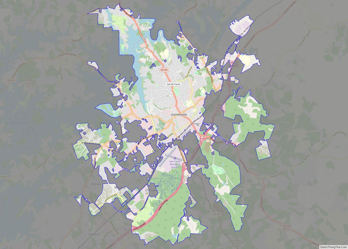
| Seat: | Gainesville |
| Largest city: | Gainesville |
| Total Area: | 429 sq mi (1,110 km²) |
| Land Area: | 393 sq mi (1,020 km²) |
| Total Population: | 203,136 |
| Population Density: | 457/sq mi (176/km²) |
| Time zone: | UTC−5 (Eastern) |
| Summer Time Zone (DST): | UTC−4 (EDT) |
| Website: | www.hallcounty.org |
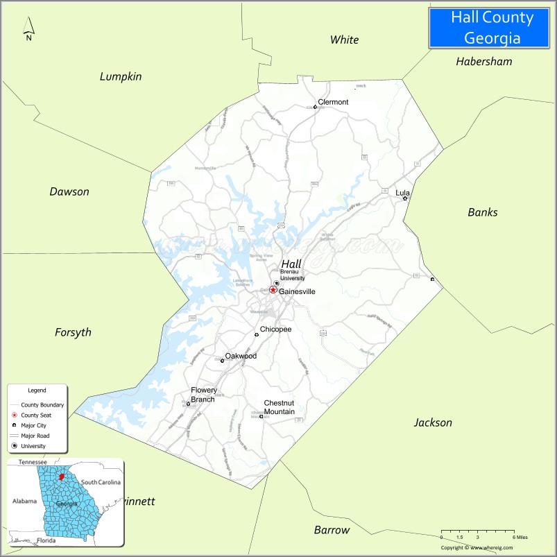
Hall County location map. Where is Hall County?
History
Hall County was created on December 15, 1818, from Cherokee lands ceded by the Treaty of Cherokee Agency (1817) and Treaty of Washington (1819).
The county is named for Lyman Hall, a signer of the Declaration of Independence and governor of Georgia as both colony and state.
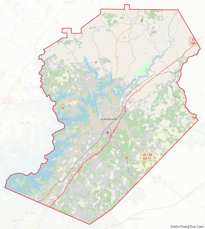
Hall County Road Map
Geography
According to the U.S. Census Bureau, the county has a total area of 429 square miles (1,110 km), of which 393 square miles (1,020 km) is land and 37 square miles (96 km) (8.5%) is water. The county is located in the upper Piedmont region of the state in the foothills of the Blue Ridge Mountains to the north.
Slightly more than half of Hall County, the eastern portion of the county, is located in the Upper Oconee River sub-basin of the Altamaha River basin, while the western half of the county is located in the Upper Chattahoochee River sub-basin of the ACF River Basin (Apalachicola-Chattahoochee-Flint River Basin).
The Chattahoochee River gathers strength in Hall County, as immortalized in Sidney Lanier’s poem, “Song of the Chattahoochee”:
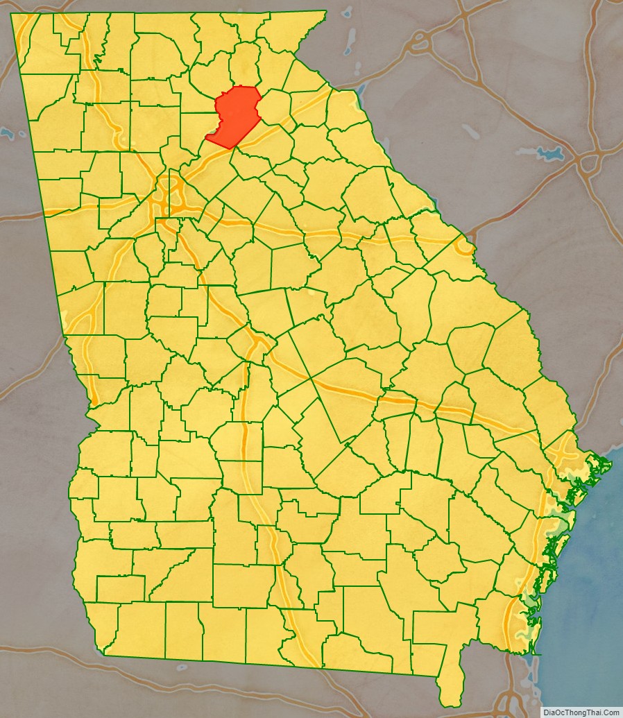
Adjacent counties
- White County – north
- Habersham County – northeast
- Banks County – east
- Jackson County – southeast
- Barrow County – south
- Gwinnett County – southwest
- Forsyth County – west
- Dawson County – northwest
- Lumpkin County – northwest
Attractions
- Atlanta Botanical Garden (Gainesville)
- Brenau Downtown Center (Gainesville)
- Don Carter State Park
- Elachee Nature Science Center (Gainesville)
- Falcons Complex (Flowery Branch)
- Gainesville Theatre Alliance (Gainesville)
- Interactive Neighborhood for Kids (Gainesville)
- Lake Lanier Islands (Buford)
- Lake Sidney Lanier
- Quinlan Visual Arts Center
- Road Atlanta (Braselton)
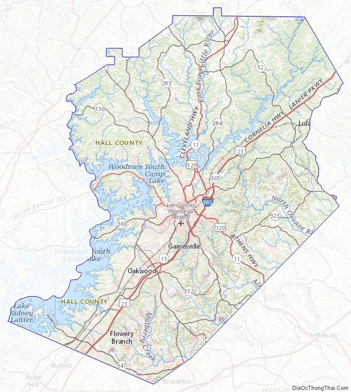
Hall County Topographic Map
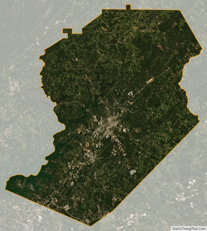
Hall County Satellite Map
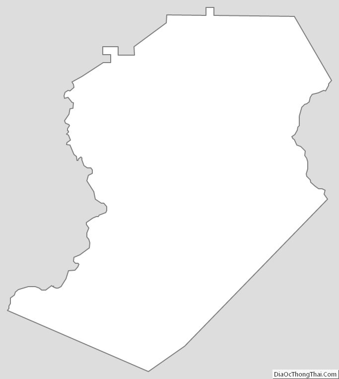
Hall County Outline Map