DeSoto Parish (Spanish: Parroquia de DeSoto; French: Paroisse DeSoto) is a parish located in the U.S. state of Louisiana. The parish was formed in 1843. At the 2020 U.S. census, the population was 26,812. Its parish seat is Mansfield. DeSoto Parish is part of the Shreveport–Bossier City metropolitan statistical area.
| Name: | De Soto Parish |
|---|---|
| FIPS code: | 22-031 |
| State: | Louisiana |
| Founded: | 1843 |
| Named for: | settler, Marcel DeSoto |
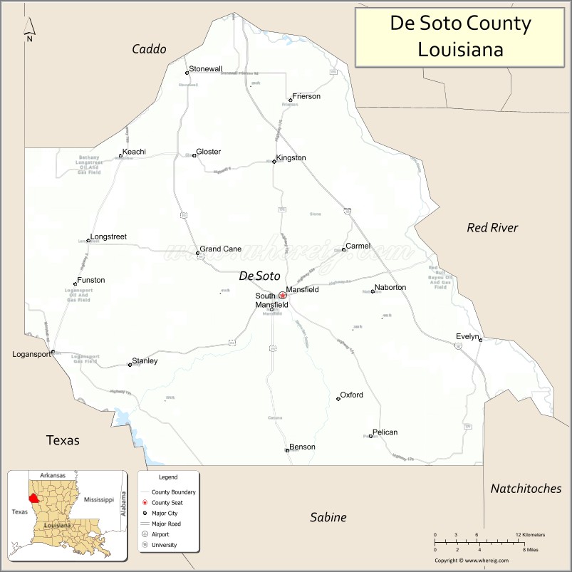
| Seat: | Mansfield |
| Total Area: | 2,320 km² (895 sq mi) |
| Land Area: | 2,270 km² (876 sq mi) |
| Total Population: | 26,812 |
| Population Density: | 12/km² (30/sq mi) |
| Time zone: | UTC-6 (CST) |
| Summer Time Zone (DST): | UTC-5 (CDT) |
| Website: | DeSoto Parish Government |
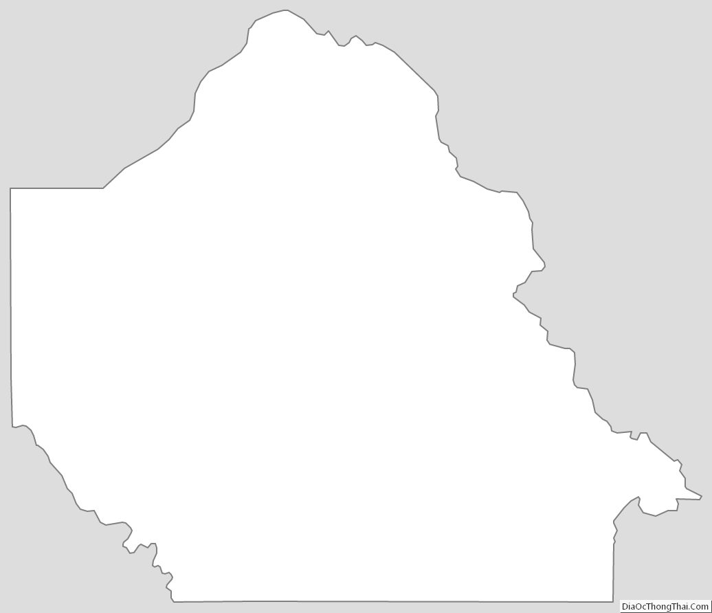
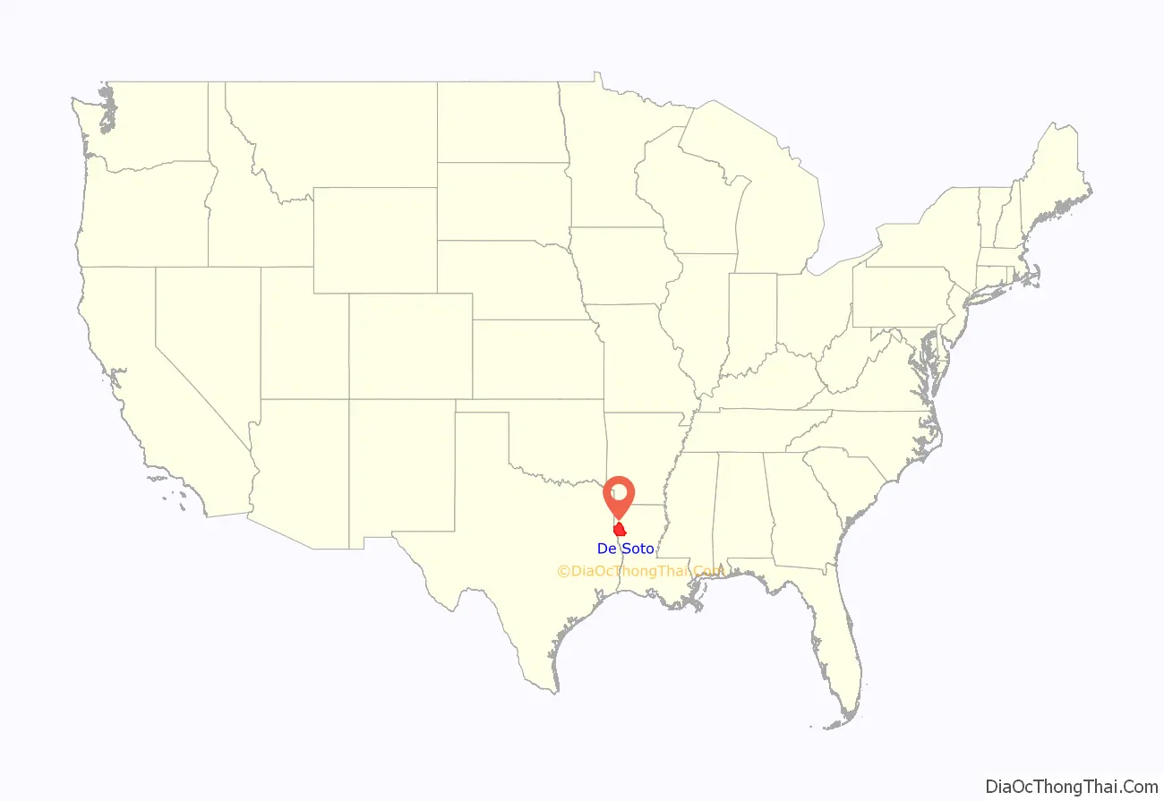
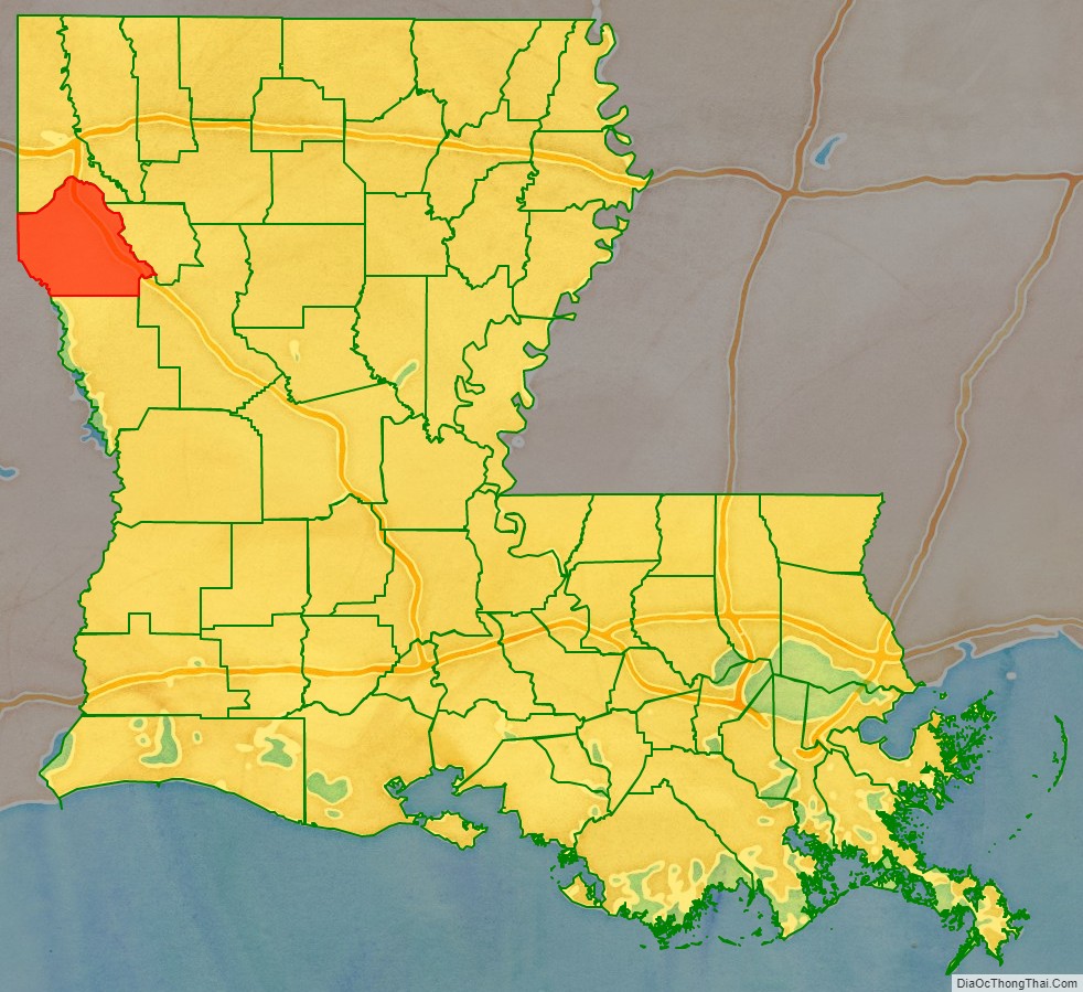
De Soto Parish location map. Where is De Soto Parish?
History
It is a typical misconception that the parish was named after Hernando de Soto, the Spaniard who explored the future southeastern United States and discovered and named the Mississippi River. The parish was in fact named after the unrelated Marcel DeSoto, who led the first group of European settlers there, to a settlement historically known as Bayou Pierre. The parish’s name is also commonly misspelled following the explorer’s name as “De Soto Parish,” but it is properly spelled following the settler’s name as “DeSoto Parish.”
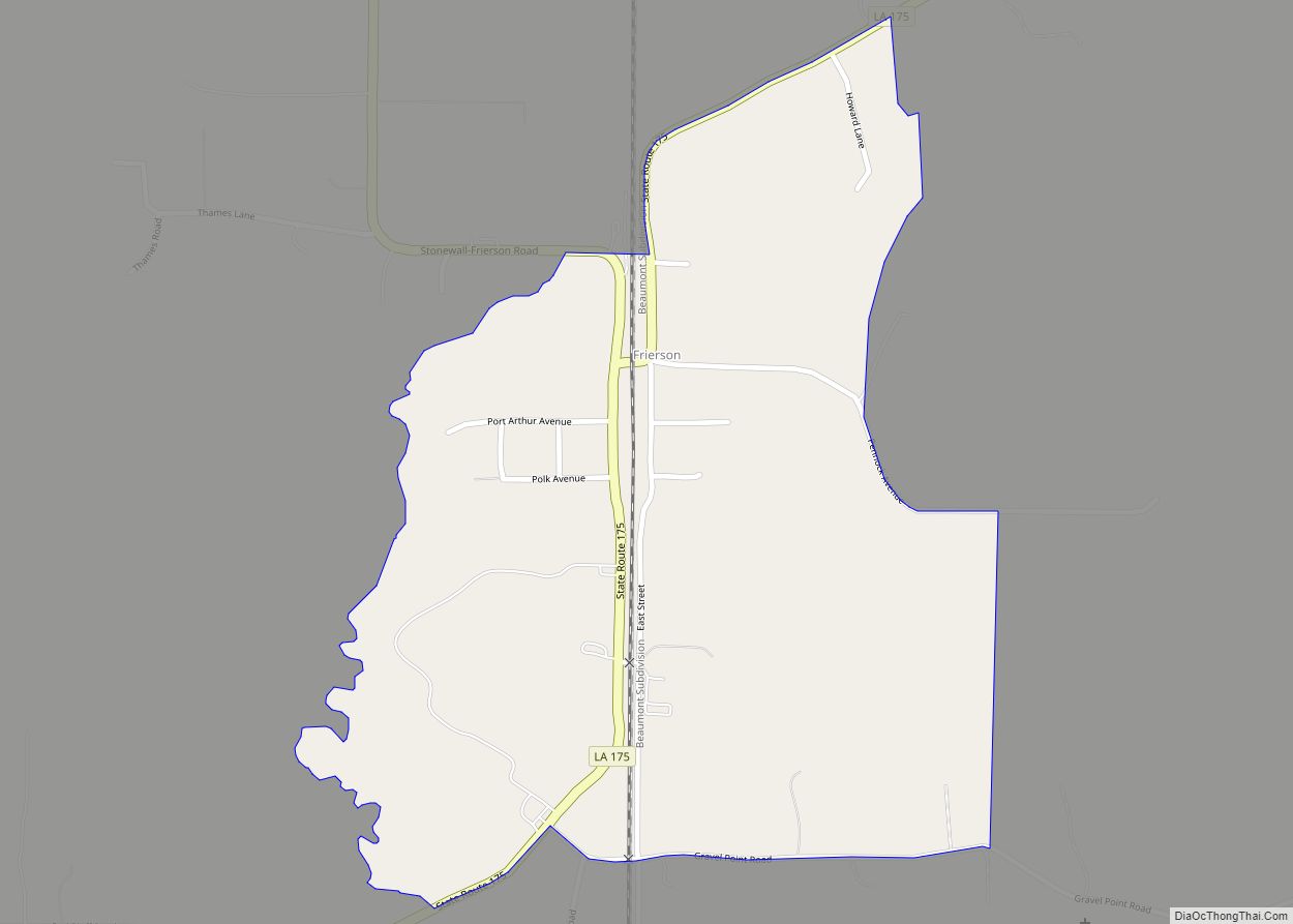
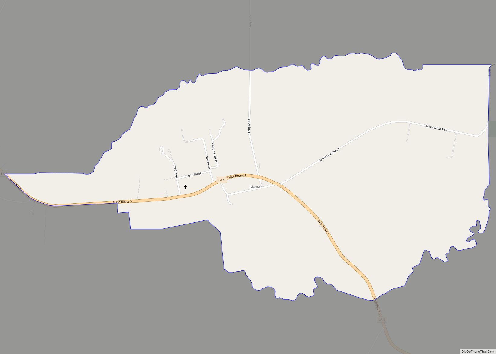
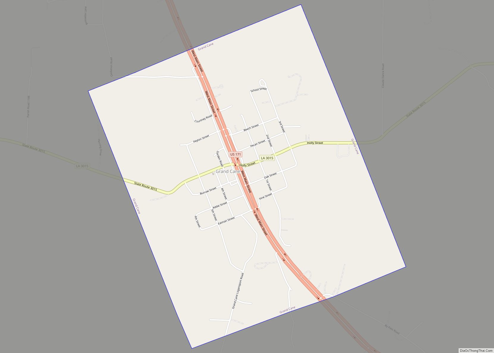
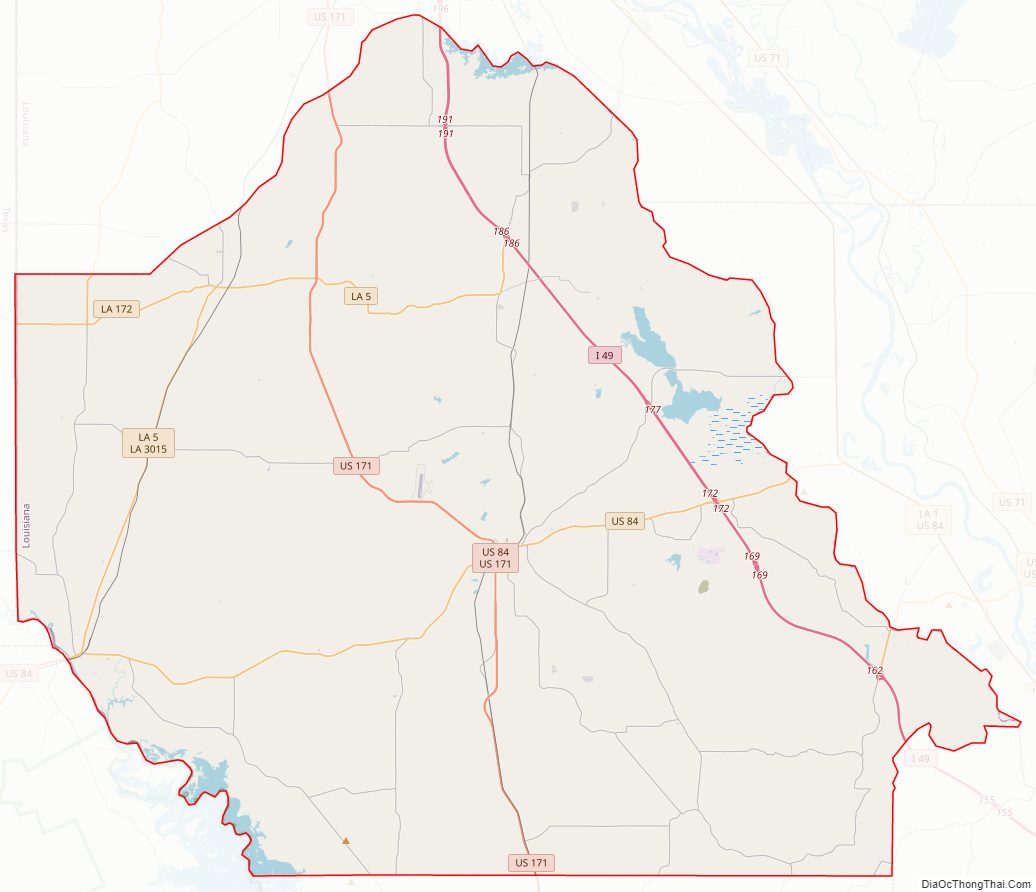
De Soto Parish Road Map
Geography
According to the U.S. Census Bureau, the parish has a total area of 895 square miles (2,320 km), of which 876 square miles (2,270 km) is land and 19 square miles (49 km) (2.1%) is water.
Major highways
- Interstate 49
- Future Interstate 69
- U.S. Highway 84
- U.S. Highway 171
- U.S. Highway 371
- Louisiana Highway 5
Adjacent parishes
- Caddo Parish (north)
- Red River Parish (east)
- Natchitoches Parish (southeast)
- Sabine Parish (south)
- Shelby County, Texas (southwest)
- Panola County, Texas (west)
National protected area
- Red River National Wildlife Refuge (part)
De Soto Parish Topographic Map
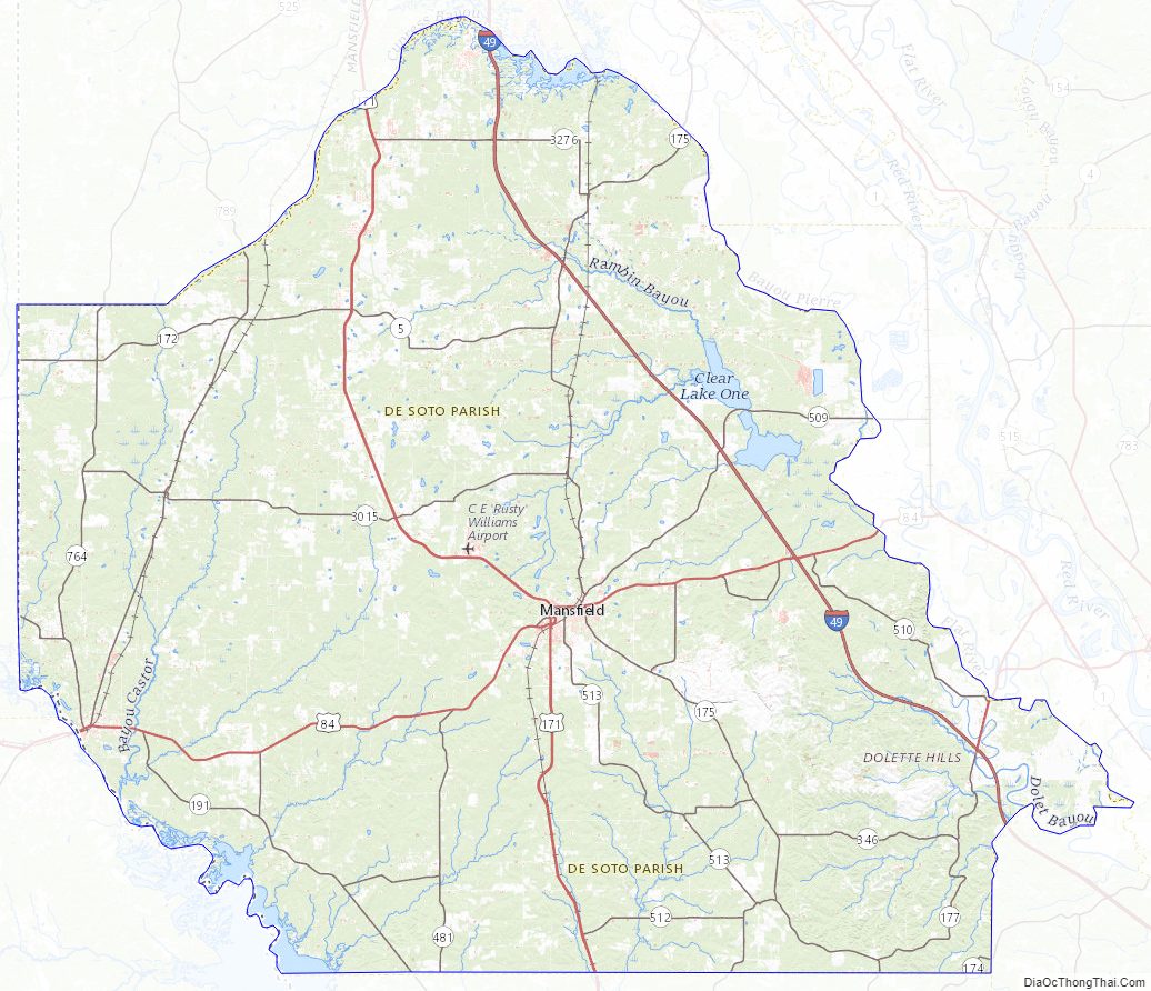
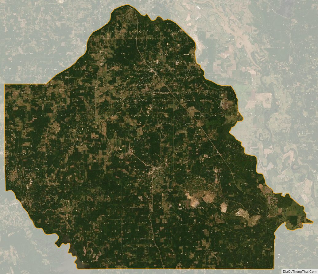
De Soto Parish Satellite Map
De Soto Parish Outline Map