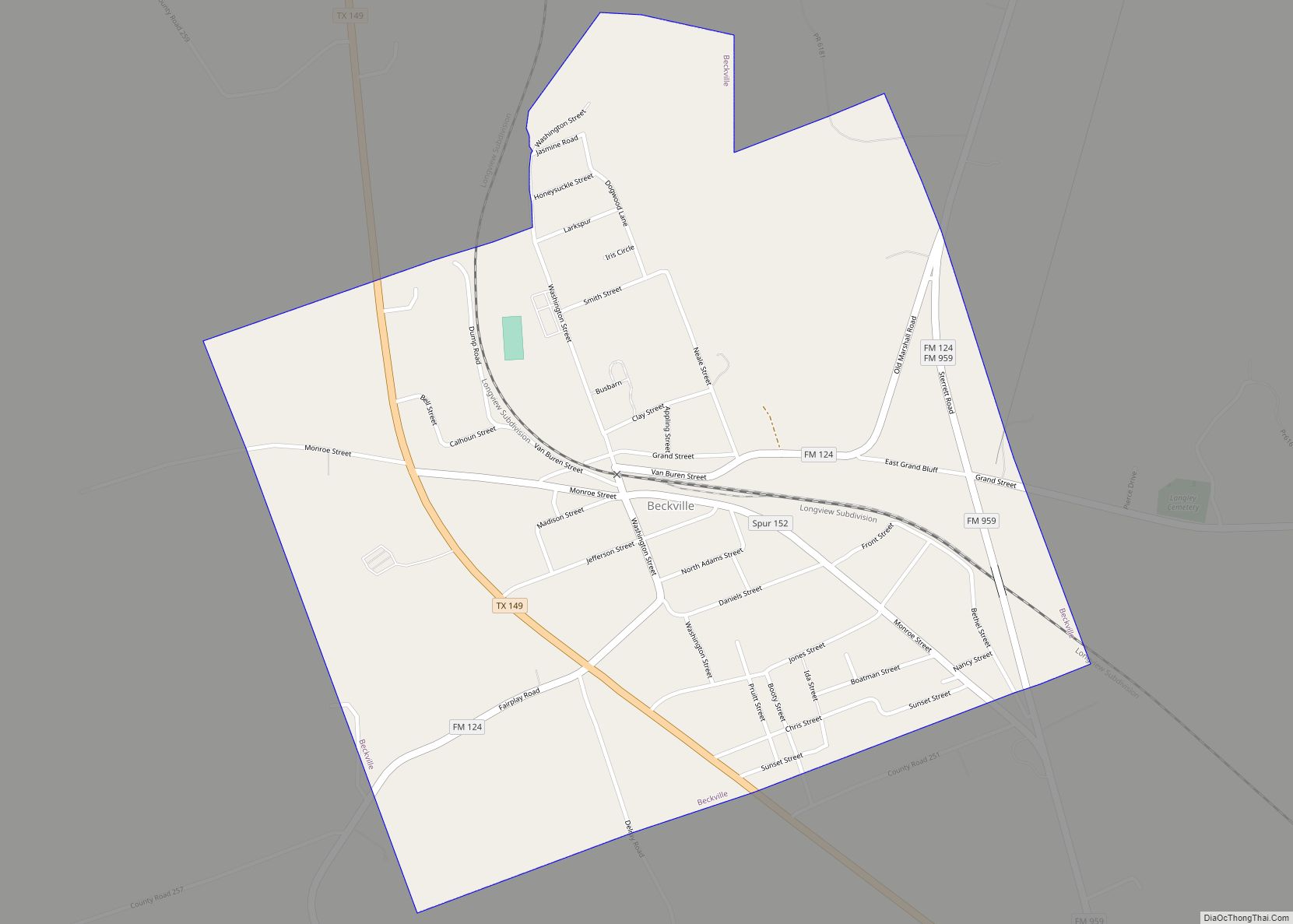
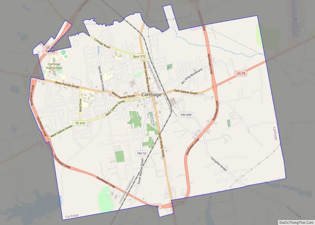
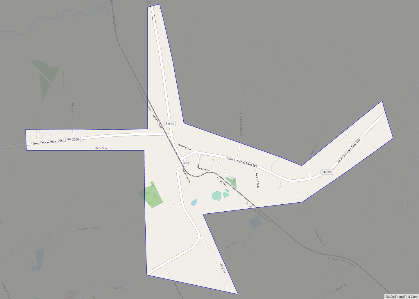
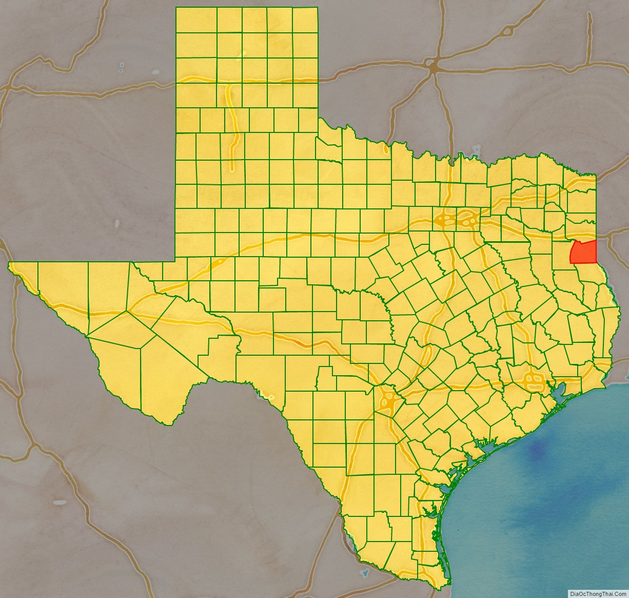
Panola County is a county located in the U.S. state of Texas. As of the 2020 census, its population was 22,491. The county seat is Carthage. Located in East Texas and originally developed for cotton plantations, the county’s name is derived from a Choctaw word for cotton.
Until 2013, Panola County was one of about 30 entirely dry counties in Texas: the sale of alcohol was restricted or prohibited.
| Name: | Panola County |
|---|---|
| FIPS code: | 48-365 |
| State: | Texas |
| Founded: | 1846 |
| Seat: | Carthage |
| Largest city: | Carthage |
| Total Area: | 821 sq mi (2,130 km²) |
| Land Area: | 802 sq mi (2,080 km²) |
| Total Population: | 22,491 |
| Population Density: | 27/sq mi (11/km²) |
| Time zone: | UTC−6 (Central) |
| Summer Time Zone (DST): | UTC−5 (CDT) |
| Website: | www.co.panola.tx.us |
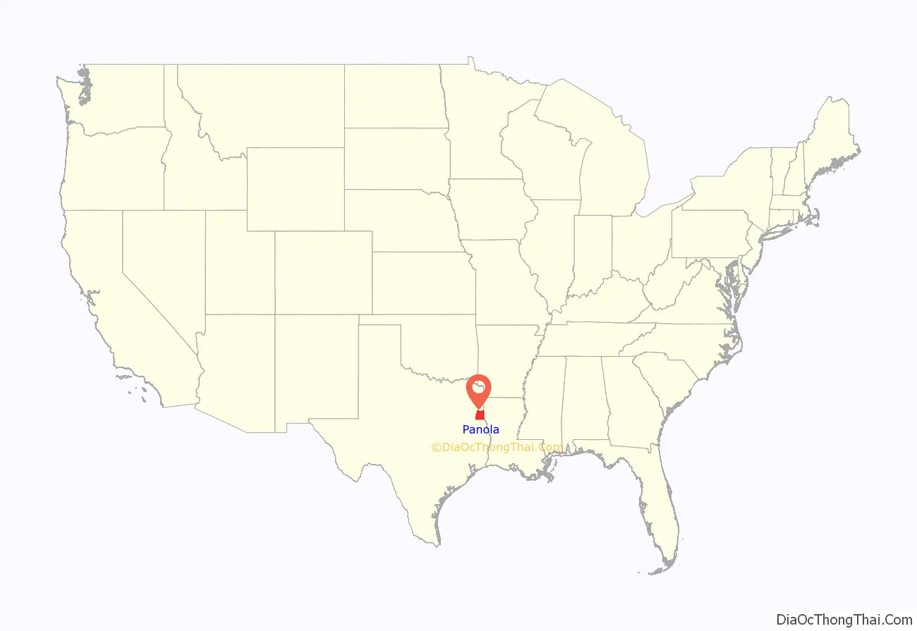
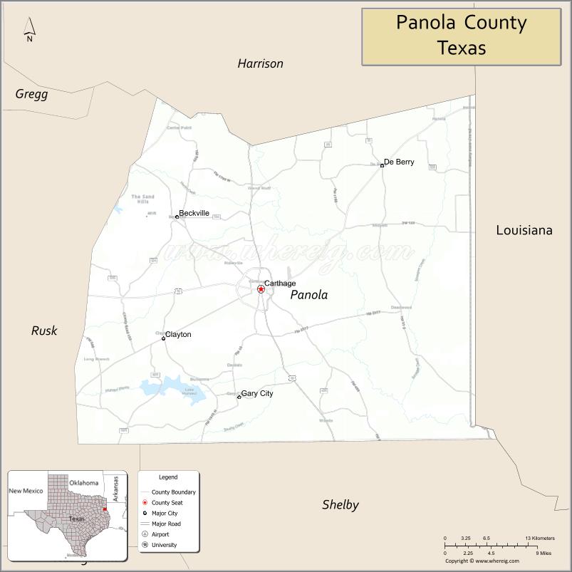
Panola County location map. Where is Panola County?
History
Jonathon Anderson, a migrant from the United States and founder of Panola County, donated about 500 acres of land in the 1800s to get the county started. Panola County was formed in 1846 from sections of Harrison and Shelby counties. Developed for cotton plantations, it was named after a Choctaw/Chickasaw word for cotton. In the antebellum years, planters used enslaved African Americans as workers on their large plantations. After the Civil War, freedmen worked largely as tenant farmers and sharecroppers in this area.
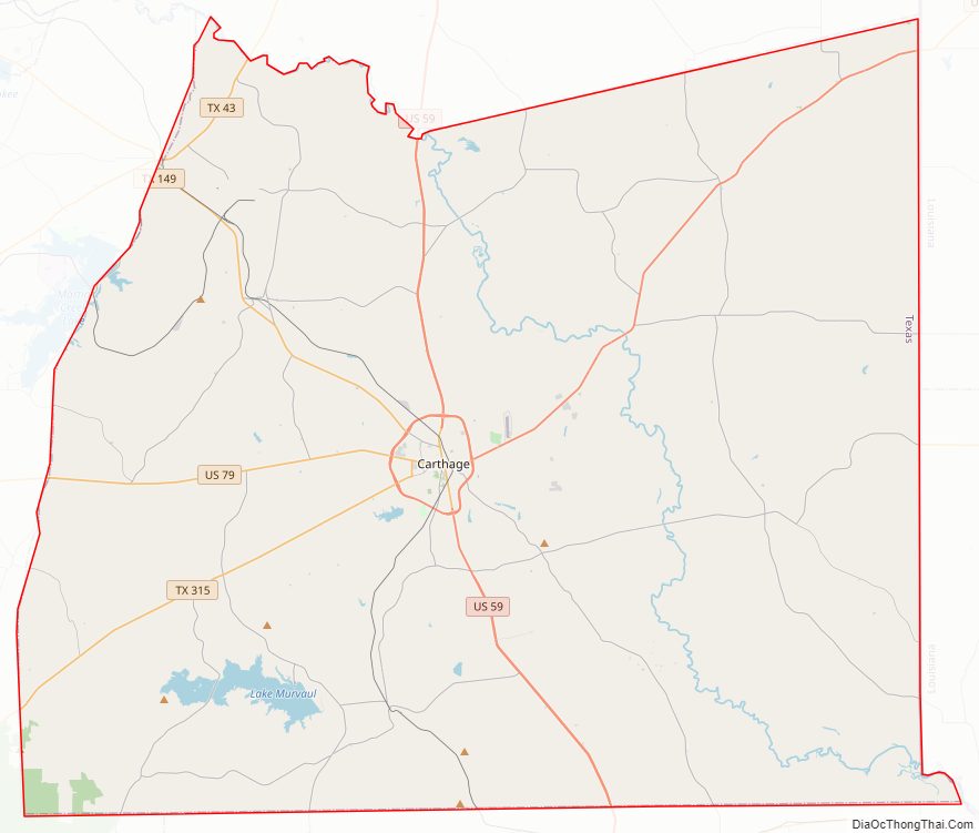
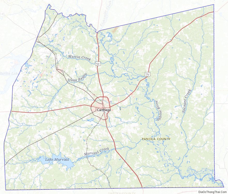
Panola County Road Map
Geography
According to the U.S. Census Bureau, the county has a total area of 821 square miles (2,130 km), of which 802 square miles (2,080 km) are land and 20 square miles (52 km) (2.4%) are covered by water.
Major highways
- U.S. Highway 59
- Interstate 369 is currently under construction and will follow the current route of U.S. 59 in most places.
- U.S. Highway 79
- State Highway 43
- State Highway 149
- State Highway 315
- Farm to Market Road 10
- Farm to Market Road 31
- Farm to Market Road 124
- Farm to Market Road 1970
The TTC-69 component (recommended preferred) of the once-planned Trans-Texas Corridor went through Panola County.
Adjacent counties and parishes
- Harrison County (north)
- Caddo Parish, Louisiana (northeast)
- De Soto Parish, Louisiana (east)
- Shelby County (south)
- Rusk County (west)
Panola County Topographic Map
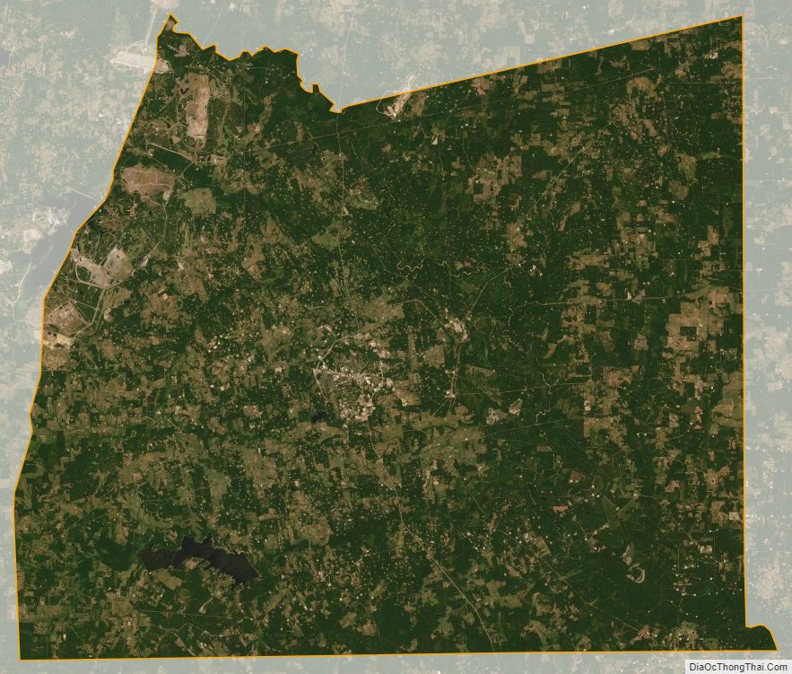
Panola County Satellite Map
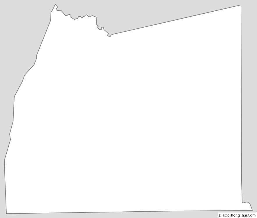
Panola County Outline Map