Deer Lodge County is a county in the U.S. state of Montana. As of the 2020 census, the population was 9,421. It forms a consolidated city-county government with its county seat of Anaconda. The county was established in 1865.
| Name: | Deer Lodge County |
|---|---|
| FIPS code: | 30-023 |
| State: | Montana |
| Founded: | 1865 |
| Seat: | Anaconda |
| Largest city: | Anaconda |
| Total Area: | 741 sq mi (1,920 km²) |
| Land Area: | 737 sq mi (1,910 km²) |
| Total Population: | 9,421 |
| Population Density: | 13/sq mi (4.9/km²) |
| Time zone: | UTC−7 (Mountain) |
| Summer Time Zone (DST): | UTC−6 (MDT) |
| Website: | www.anacondadeerlodge.mt.gov |
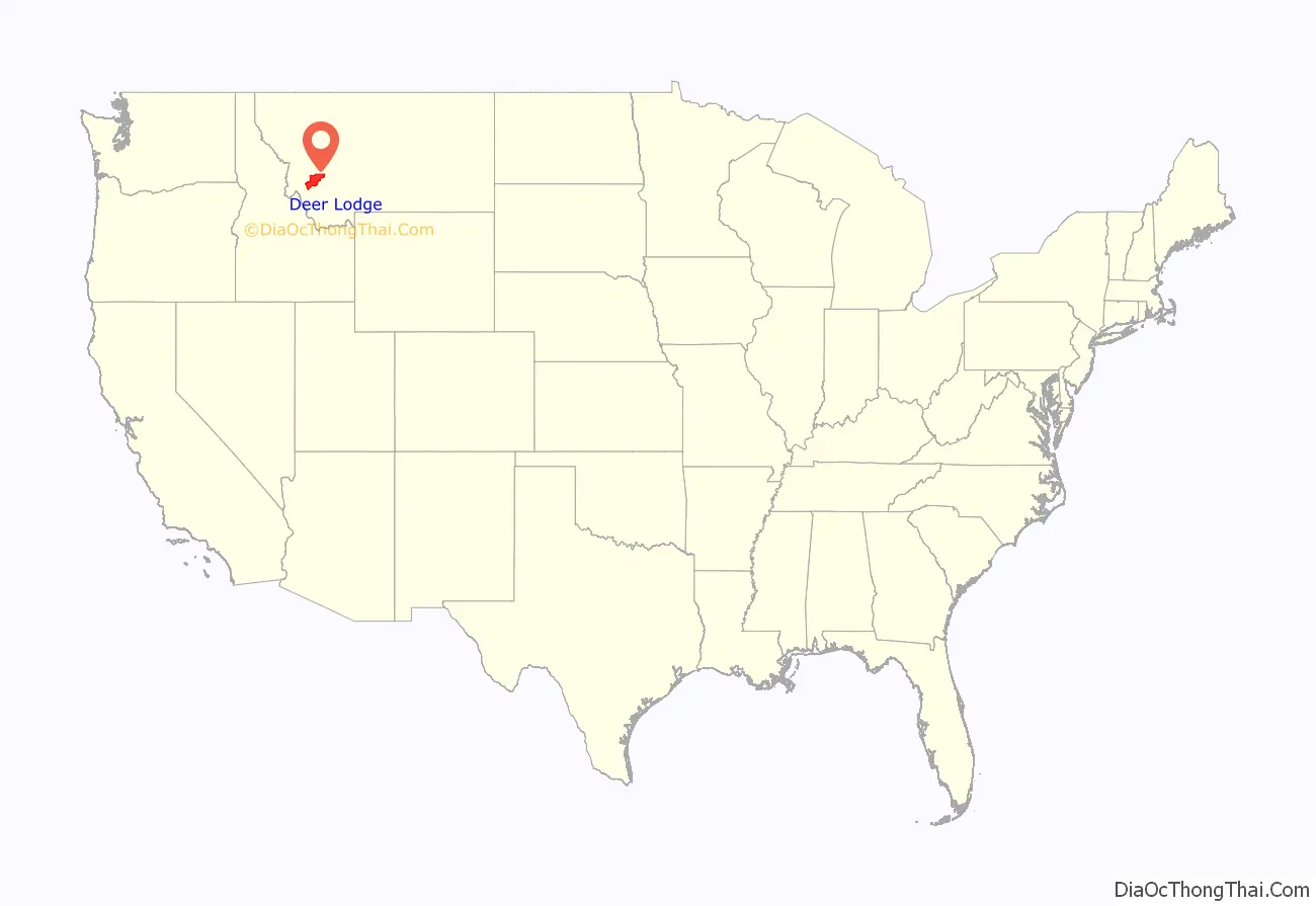
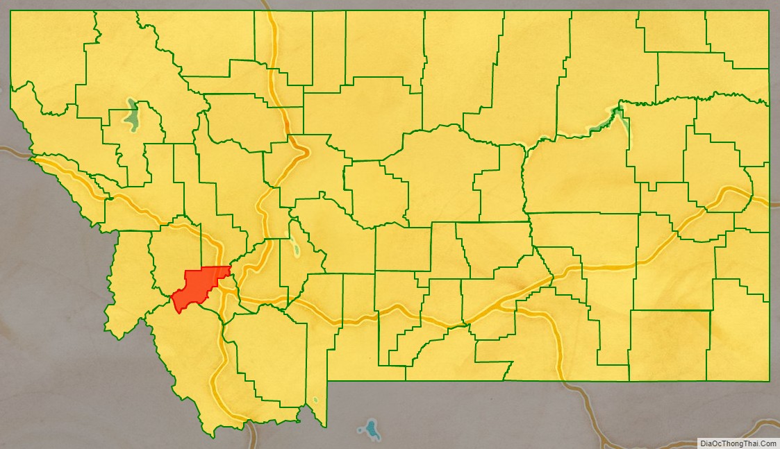
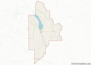
Deer Lodge County location map. Where is Deer Lodge County?
History
Deer Lodge was one of the original 9 Montana counties, as constituted with the establishment of Montana Territory in 1864. The original county included what are now Silver Bow County (separated in 1881), Deer Lodge County, Granite County (separated in 1893) and Powell County (separated in 1901).
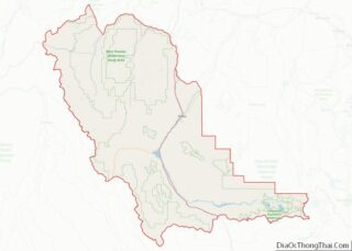
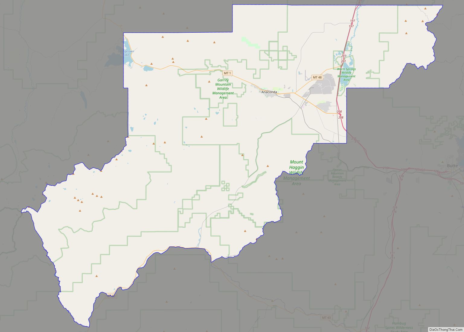
Deer Lodge County Road Map
Geography
According to the United States Census Bureau, the county has an area of 741 square miles (1,920 km), of which 737 square miles (1,910 km) is land and 4.7 square miles (12 km) (0.6%) is water. It is the second-smallest county in Montana by area.
The county has a wealth of natural amenities, such as the Anaconda Mountain Range, Georgetown Lake, and the Mount Haggin wildlife management area (Montana’s largest at 54,000 acres).
Major highways
- Interstate 90
- U.S. Highway 10 (Former)
- Montana Highway 1
- Montana Highway 43
- Montana Highway 48
Adjacent counties
- Granite County – northwest
- Powell County – north
- Jefferson County – east
- Silver Bow County – southeast
- Beaverhead County – south
- Ravalli County – west
National protected areas
- Beaverhead National Forest (part)
- Deerlodge National Forest (part)
