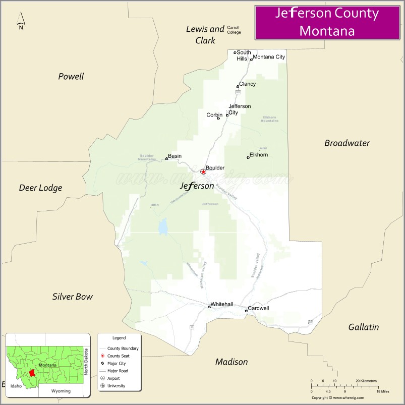
Jefferson County is a county in Montana, United States. As of the 2020 census, the population was 12,085. Its county seat is Boulder. The county was created in 1865 and named for President Thomas Jefferson.
Jefferson County is part of the Helena, MT Micropolitan Statistical Area.
| Name: | Jefferson County |
|---|---|
| FIPS code: | 30-043 |
| State: | Montana |
| Founded: | February 2, 1865 |
| Named for: | Thomas Jefferson |
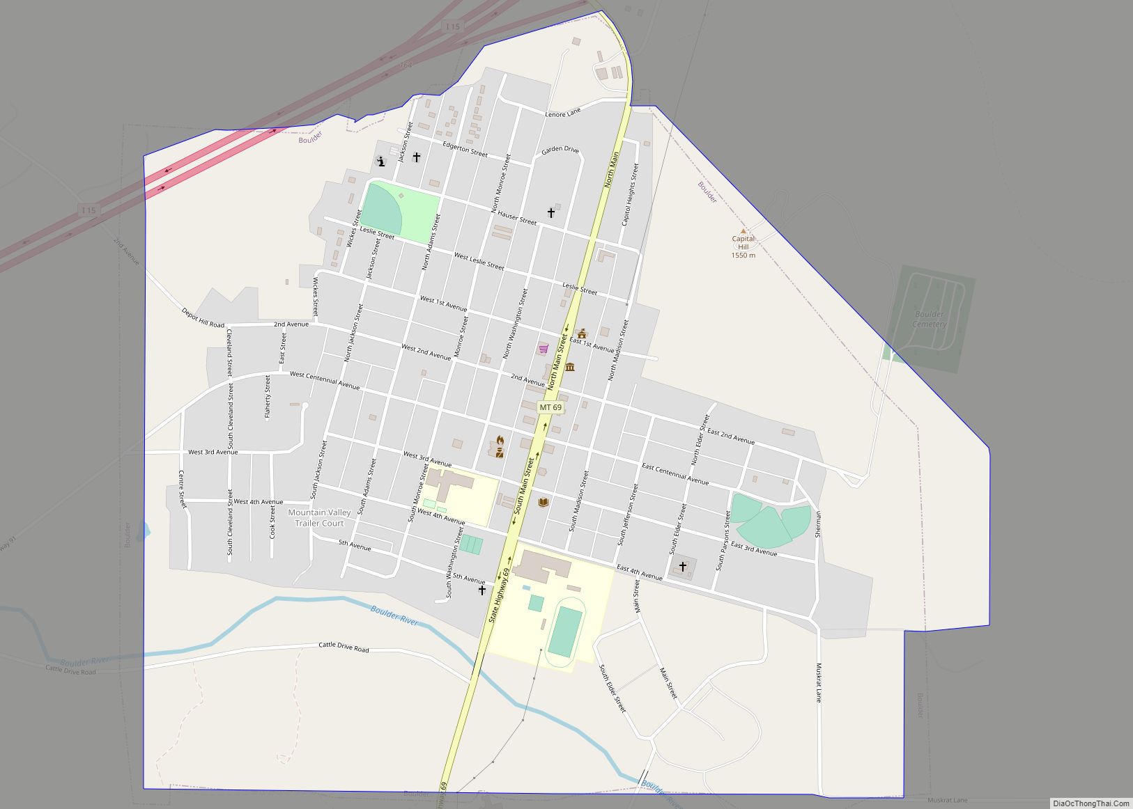
| Seat: | Boulder |
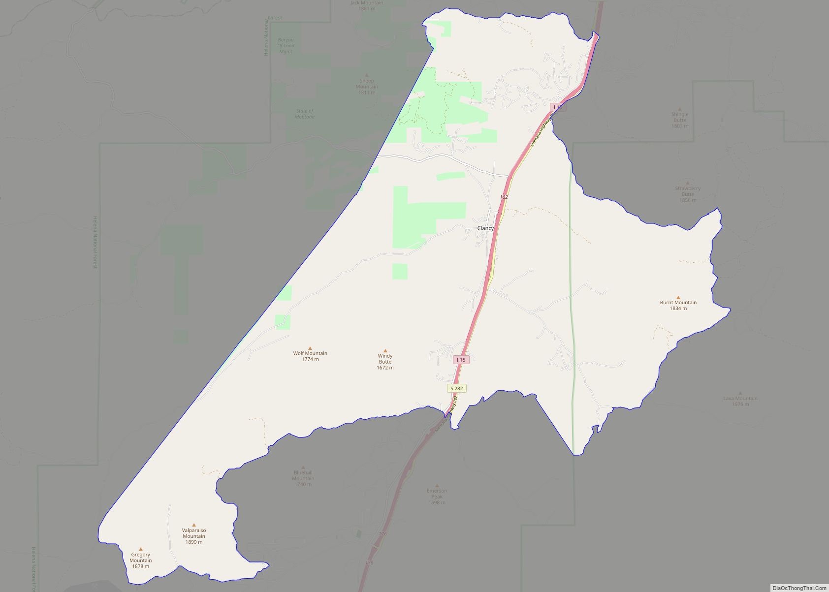
| Largest town: | Clancy |
| Total Area: | 1,659 sq mi (4,300 km²) |
| Land Area: | 1,656 sq mi (4,290 km²) |
| Total Population: | 12,085 |
| Population Density: | 7/sq mi (3/km²) |
| Time zone: | UTC−7 (Mountain) |
| Summer Time Zone (DST): | UTC−6 (MDT) |
| Website: | www.jeffersoncounty-mt.gov |
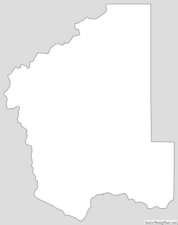
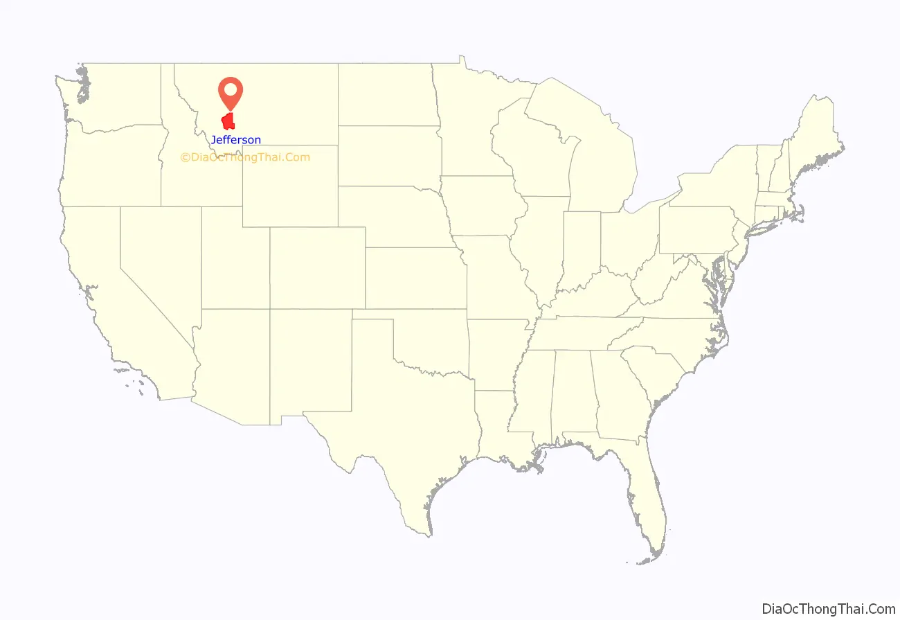
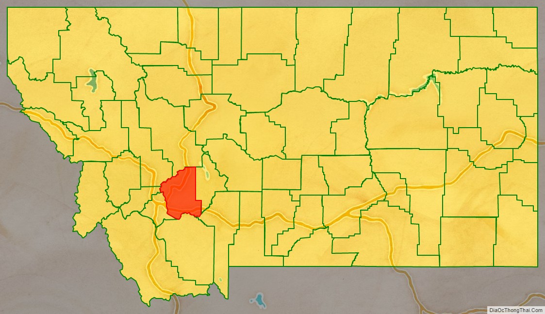
Jefferson County location map. Where is Jefferson County?
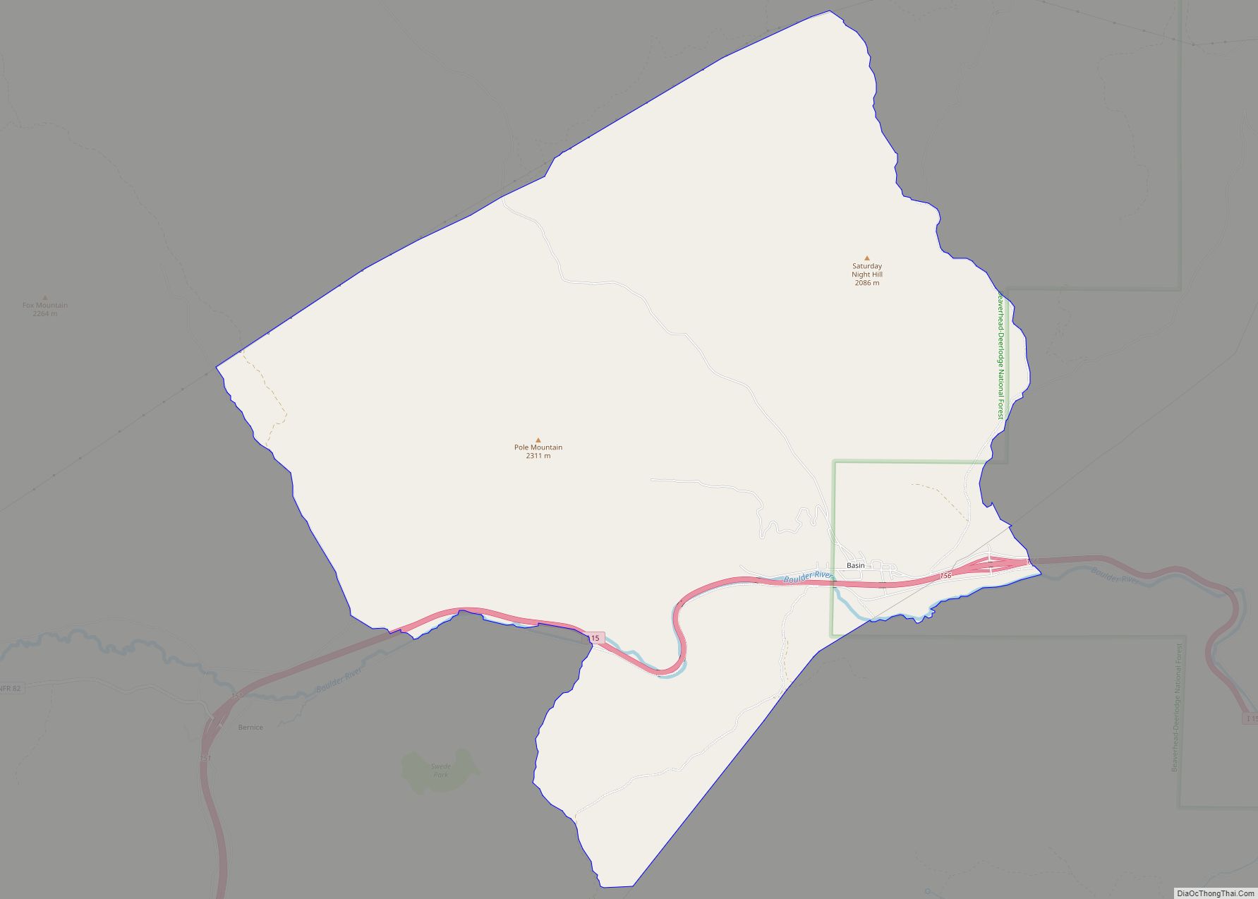
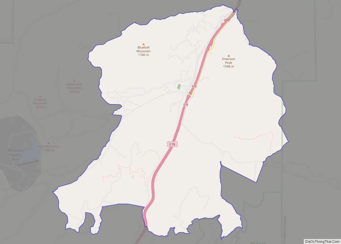
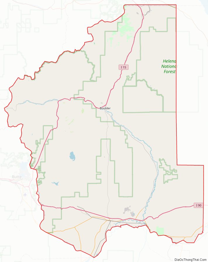
Jefferson County Road Map
Geography
According to the United States Census Bureau, the county has a total area of 1,659 square miles (4,300 km), of which 1,656 square miles (4,290 km) is land and 2.6 square miles (6.7 km) (0.2%) is water.
Major highways
- Interstate 15
- Interstate 90
- U.S. Highway 12
- U.S. Highway 287
- Montana Highway 2
- Montana Highway 41
- Montana Highway 55
- Montana Highway 69
Adjacent counties
- Lewis and Clark County – north
- Broadwater County – east
- Gallatin County – southeast
- Madison County – south
- Silver Bow County – west
- Deer Lodge County – west
- Powell County – northwest
National protected areas
- Deerlodge National Forest (part)
- Helena National Forest (part)
Jefferson County Topographic Map
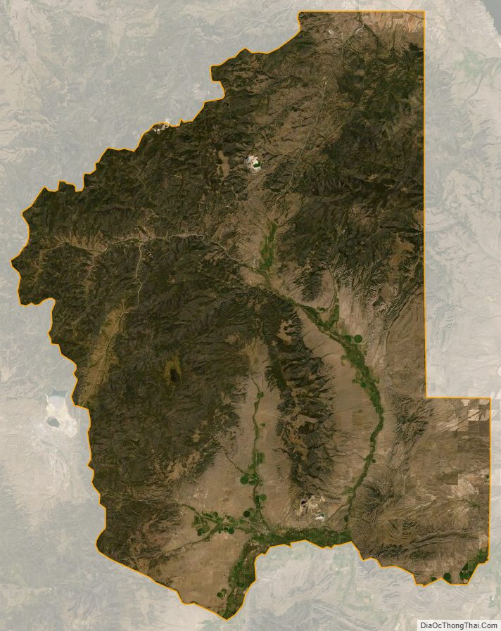
Jefferson County Satellite Map
Jefferson County Outline Map