Ravalli County is a county in the southwestern part of the U.S. state of Montana. As of the 2020 census, the population was 44,174. Its county seat is Hamilton.
Ravalli County is part of a north–south mountain valley bordered by the Sapphire Mountains on the East and the Bitterroot Mountains on the West. It is often referred to as the Bitterroot Valley, which is named for the Bitterroot Flower. The county is on the Pacific Ocean side of the Continental Divide, which follows the Idaho-Montana border from Wyoming until Ravalli County. Here, it turns east into Montana, between Chief Joseph Pass and Lost Trail Pass, and follows the Ravalli County-Beaverhead County border.
| Name: | Ravalli County |
|---|---|
| FIPS code: | 30-081 |
| State: | Montana |
| Founded: | March 3, 1893 |
| Named for: | Antonio Ravalli |
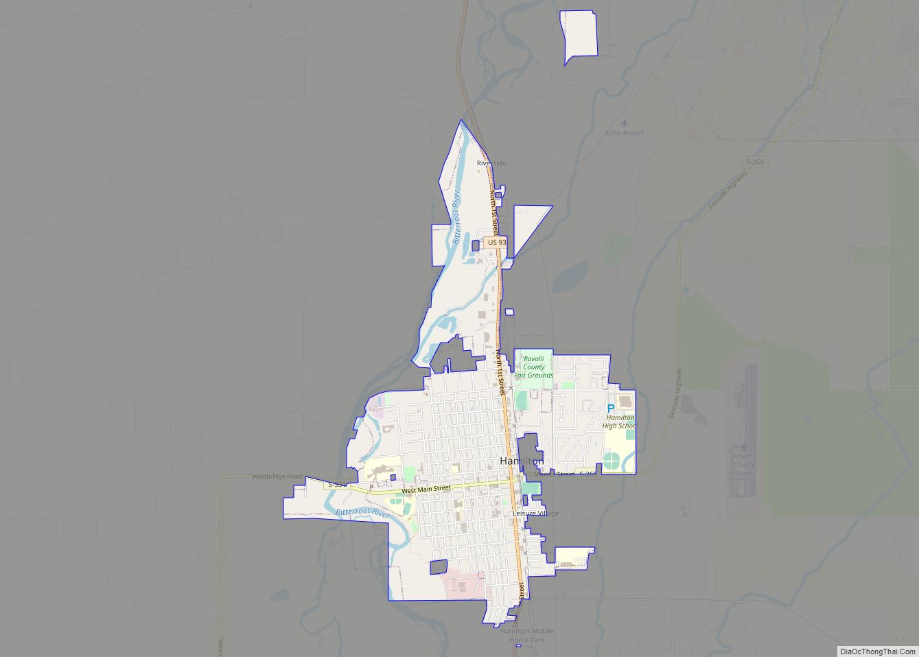
| Seat: | Hamilton |
| Largest city: | Hamilton |
| Total Area: | 2,400 sq mi (6,000 km²) |
| Land Area: | 2,391 sq mi (6,190 km²) |
| Total Population: | 44,174 |
| Population Density: | 18/sq mi (7.1/km²) |
| Time zone: | UTC−7 (Mountain) |
| Summer Time Zone (DST): | UTC−6 (MDT) |
| Website: | www.rc.mt.gov |
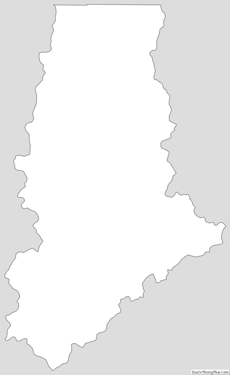
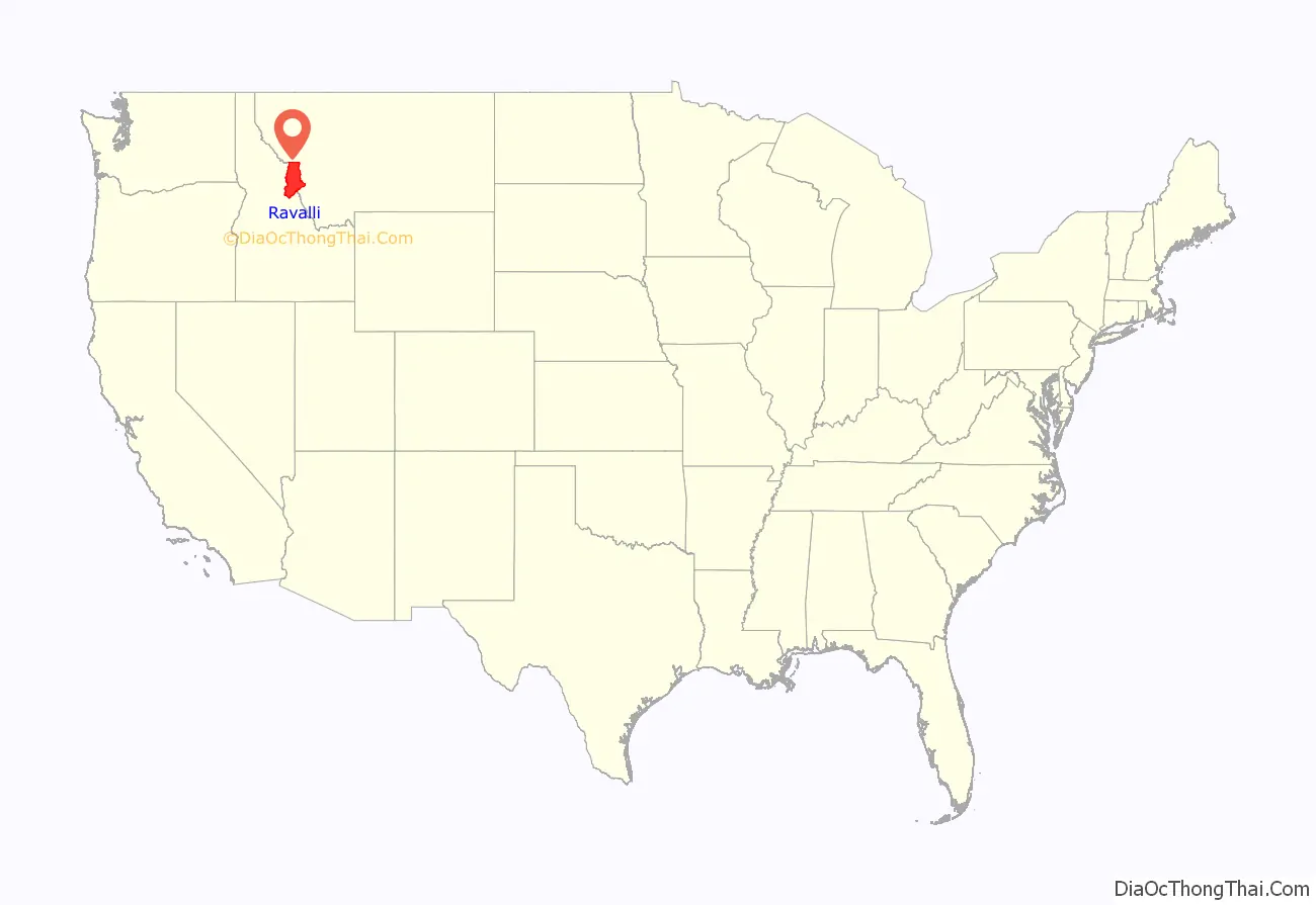
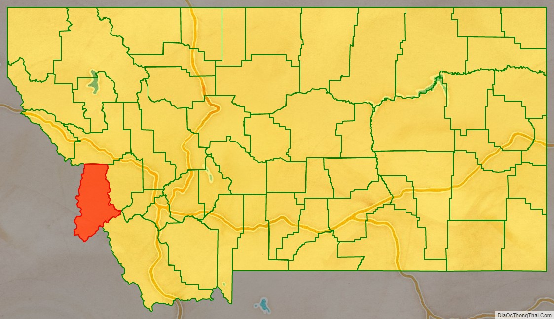
Ravalli County location map. Where is Ravalli County?
History
Ravalli County was once home to the Bitterroot Salish tribe. The tribe was first encountered in 1805 by the Lewis and Clark Expedition, which noted their friendly nature. The Catholic Church took an interest in creating a mission in the area, and in 1841 founded St. Mary’s Mission, subsequently renamed as Fort Owen. In 1864, the settlement’s current name, Stevensville, was adopted. In 1891, the Salish tribe moved to the current Flathead Reservation under the Treaty of Hellgate.
In 1877, Chief Joseph and his Wallowa band of Nez Perce passed through Ravalli County in their attempt to escape confinement to a reservation; they were captured en route to Canada just south of Havre.
Ravalli County was created in 1893 by the Montana Legislature, annexing a portion of Missoula County. It was named after the Italian Jesuit priest Antony Ravalli, who came to the Bitterroot Valley in 1845.
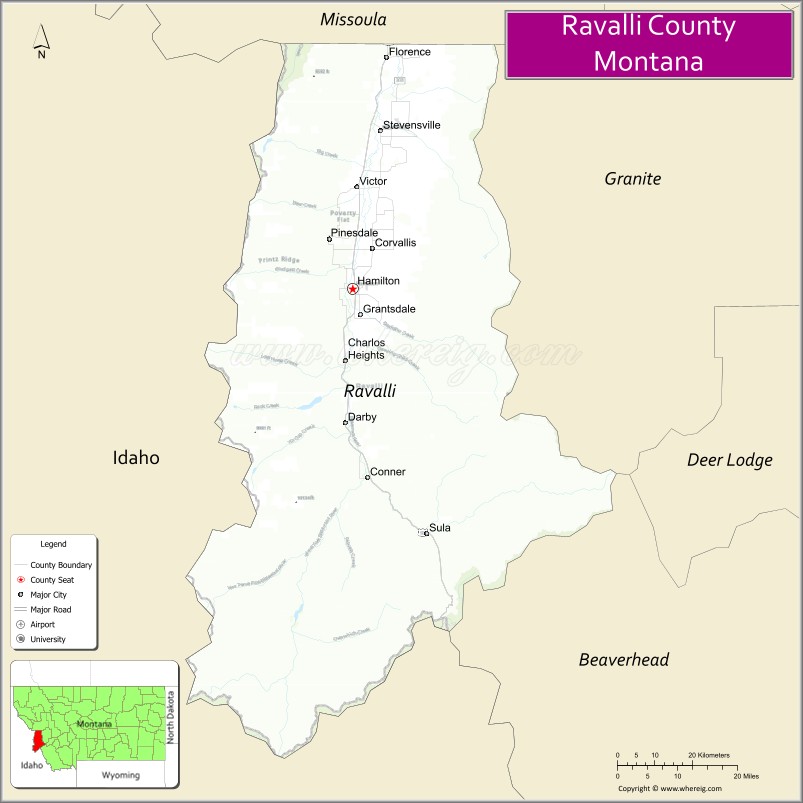
Ravalli County Road Map
Geography
According to the United States Census Bureau, the county has an area of 2,400 square miles (6,200 km), of which 2,391 square miles (6,190 km) is land and 9.4 square miles (24 km) (0.4%) is water.
Major highways
- U.S. Highway 93
- Montana Highway 38
Adjacent counties
- Missoula County – north
- Granite County – northeast
- Deer Lodge County – east
- Beaverhead County – southeast
- Lemhi County, Idaho – south
- Idaho County, Idaho – west/Pacific Time Border
National protected areas
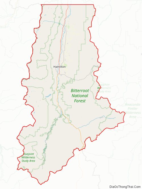
- Bitterroot National Forest (part)
- Lee Metcalf National Wildlife Refuge
- Lolo National Forest (part)
Ravalli County Topographic Map
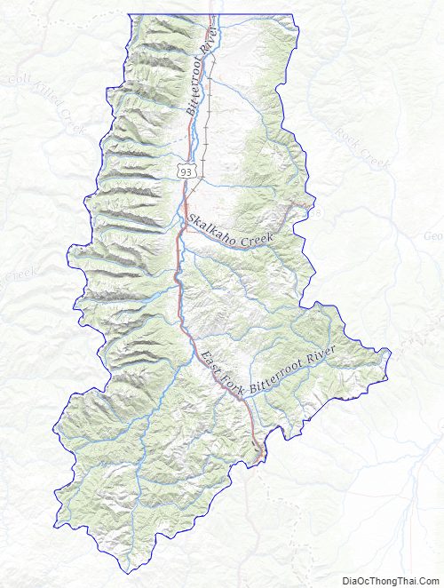
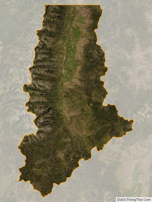
Ravalli County Satellite Map
Ravalli County Outline Map