Dillon County is a county located in the U.S. state of South Carolina. As of the 2020 census, the county’s population was 28,292, down from 32,062 in 2010. The county seat is Dillon.
Founded in 1910 from a portion of Marion County, both Dillon County and the city of Dillon were named for prosperous local citizen James W. Dillon (1826-1913), an Irishman who settled there and led a campaign to bring the railroad into the community. The result of this effort was the construction of the Wilson Short Cut Railroad, which later became part of the Atlantic Coast Line Railroad. It stimulated greater prosperity directly linking Dillon County to the national network of railroads.
| Name: | Dillon County |
|---|---|
| FIPS code: | 45-033 |
| State: | South Carolina |
| Founded: | 1910 |
| Named for: | James W. Dillon |
| Seat: | Dillon |
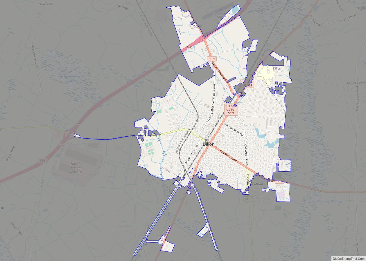
| Largest city: | Dillon |
| Total Area: | 407 sq mi (1,050 km²) |
| Land Area: | 405 sq mi (1,050 km²) |
| Total Population: | 28,292 |
| Population Density: | 70/sq mi (27/km²) |
| Time zone: | UTC−5 (Eastern) |
| Summer Time Zone (DST): | UTC−4 (EDT) |
| Website: | www.dilloncountysc.org |
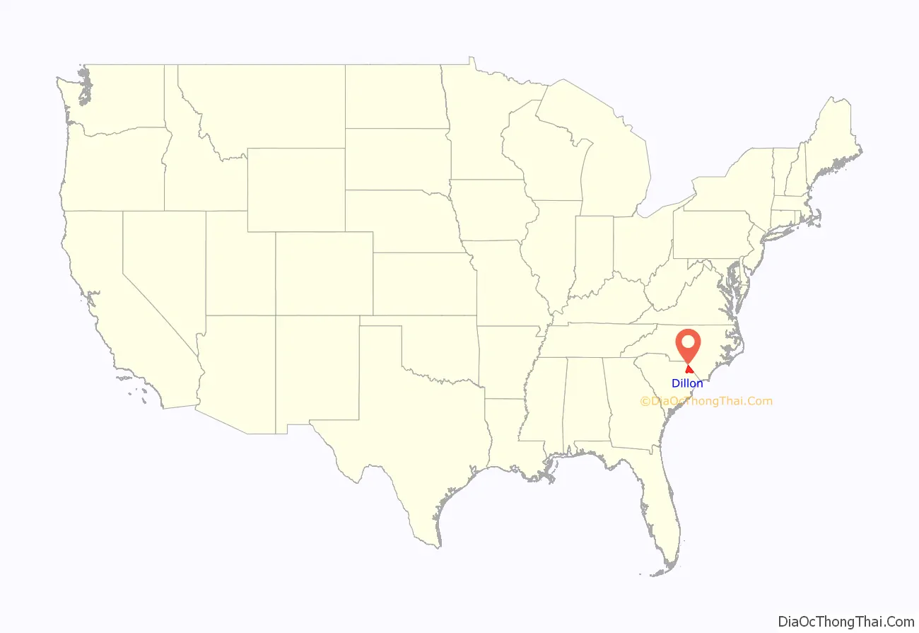
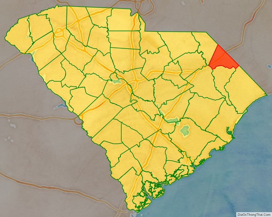
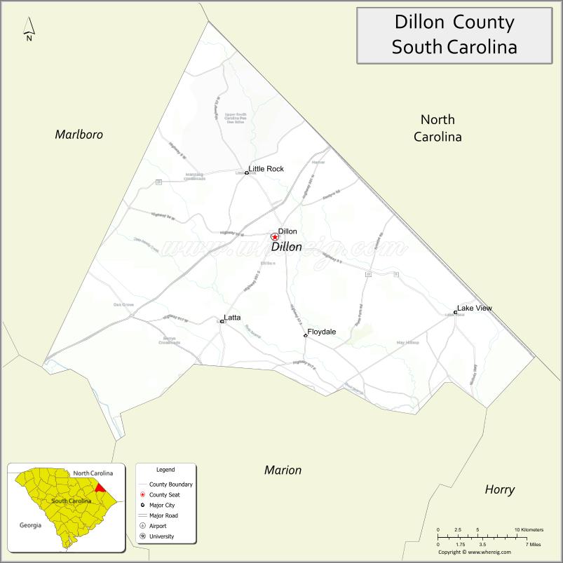
Dillon County location map. Where is Dillon County?
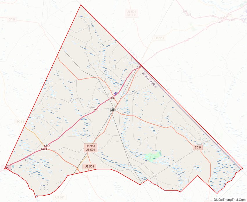
Dillon County Road Map
Geography
According to the U.S. Census Bureau, the county has a total area of 407 square miles (1,050 km), of which 405 square miles (1,050 km) is land and 1.7 square miles (4.4 km) (0.4%) is water. It is the fifth-smallest county in South Carolina by area.
State and local protected areas/sites
- Bass Community Park
- Dillon County Museum
- Little Pee Dee State Park
Major water bodies
- Cud Swamp
- Great Pee Dee River
- Little Pee Dee River
- Lumber River
- Maidendown Swamp
- Reedy Creek
Adjacent counties
- Robeson County, North Carolina – north
- Columbus County, North Carolina – north
- Horry County – east
- Marion County – south
- Florence County – southwest
- Marlboro County – west
Major highways
- Future I-73 (Concurrency with US 501)
- I-95
- US 301
- US 501
- SC 9
- SC 9 Conn.
- SC 34
- SC 38
- SC 41
- SC 41 Alt.
- SC 57
- SC 917
Major infrastructure
- Dillon Station
- Inland Port Dillon, major rail depot in the county
Dillon County Topographic Map
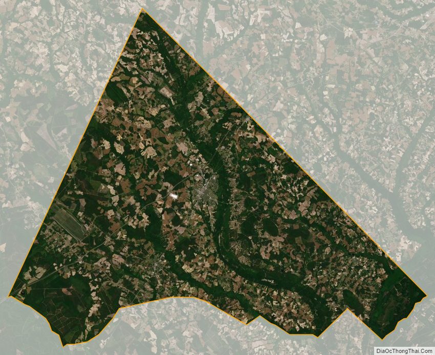
Dillon County Satellite Map
Dillon County Outline Map