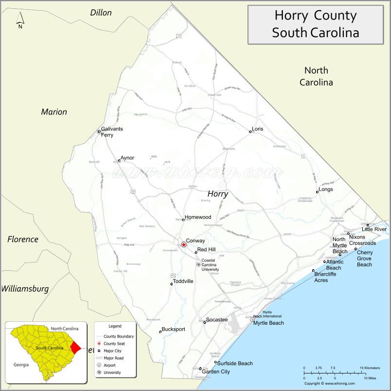
Horry County (/ˈɒriː/ OH-ree) is the easternmost county in the U.S. state of South Carolina. As of the 2020 census, its population was 351,029. It is the fourth-most populous county in South Carolina. The county seat is Conway.
Horry County is the central county in the Myrtle Beach-Conway-North Myrtle Beach, SC-NC Metropolitan Statistical Area. It is in the Pee Dee region of South Carolina, about 90 miles north of Charleston, South Carolina, and about 130 miles east of the state capital, Columbia.
| Name: | Horry County |
|---|---|
| FIPS code: | 45-051 |
| State: | South Carolina |
| Founded: | 1801 |
| Named for: | Peter Horry |
| Seat: | Conway |
| Largest city: | Myrtle Beach |
| Total Area: | 1,255 sq mi (3,250 km²) |
| Land Area: | 1,134 sq mi (2,940 km²) |
| Total Population: | 351,029 |
| Population Density: | 280/sq mi (110/km²) |
| Time zone: | UTC−5 (Eastern) |
| Summer Time Zone (DST): | UTC−4 (EDT) |
| Website: | www.horrycounty.org |
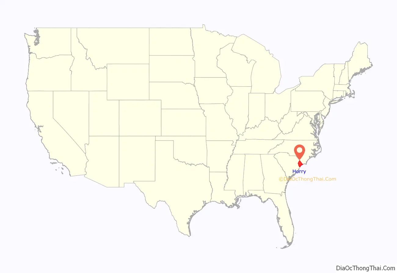
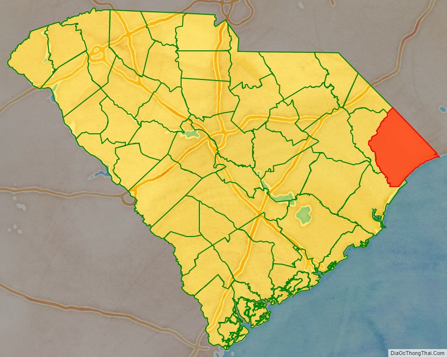
Horry County location map. Where is Horry County?
History
Horry County (pronounced OH-ree) was created from Georgetown District in 1801. At this time, the county had an estimated population of 550. Isolated by the many rivers and swamps typical of the South Carolina Lowcountry, the area essentially was surrounded by water, forcing its inhabitants to survive without much assistance from the “outside world”. This caused the county residents to become an extremely independent populace, and they named their county “The Independent Republic of Horry”. The county was named after, and in honor of, Revolutionary War hero Peter Horry who was born in South Carolina around 1743. Horry started his military career in 1775 as one of 20 captains, elected by the Provincial Congress of South Carolina, to serve the 1st and 2nd Regiments. In 1790, he was assigned to the South Carolina militia under Brigadier General Francis Marion
The population has increased more than fourfold since 1970, as the area has become a destination for retirees and people owning second homes. It has been developed for resorts and retirement communities. The majority-White residents have constituted a majority-Republican voter base since the late 20th century.
On October 29, 2012, the county paid homage to the man for whom the county is named. It commissioned a bronze sculpture of Peter Horry, installing it inside the Horry County Government and Justice Center. The sculpture was designed by artist Garland Weeks. Coastal Monument of Conway designed the stone base. The base of the sculpture is inscribed with the names of the 1801 commissioners on one side and the names of 2011 Horry County Council members on the other; a brief biography of General Peter Horry is on the front. It cost slightly more than $16,200 for both the bust/sculpture and the stone base.
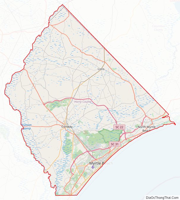
Horry County Road Map
Geography
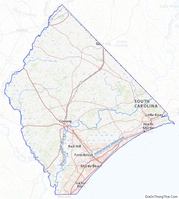
According to the U.S. Census Bureau, the county has a total area of 1,255 square miles (3,250 km), of which 121 square miles (310 km) (9.6%) are covered by water. It is the largest county by land area in South Carolina. The highest point in the county is 124 ft above sea level. Horry County is in the northeastern corner of South Carolina. It is a diverse land made up of rivers, beaches, forests, and swamps, and is bordered by the Atlantic Ocean to the east, the Little Pee Dee River and Drowning Creek (also known as the Lumber River) on its western side, and North Carolina to the north. The Waccamaw River, around 140 mi (225 km) long, runs through southeastern North Carolina and eastern South Carolina into Horry County. The river runs through the coastal plain, along the eastern border between the two states, and into the Atlantic Ocean.
National protected area
- Waccamaw National Wildlife Refuge (part)
State and local protected areas/sites
- Heritage Shores Nature Preserve
- Horry County Museum
- Lewis Ocean Bay Heritage Preserve
- Myrtle Beach State Park
- North Myrtle Beach Area Historical Museum
- Russell Burgess Coastal Preserve
Major water bodies
- Atlantic Ocean
- Calabash River
- Great Pee Dee River
- Intracoastal Waterway
- Lake Busbee
- Little Pee Dee River
- Little River
- Long Bay
- Lumber River
- Murrells Inlet
- Tuckahoe Bay
- Waccamaw River
Adjacent counties
- Columbus County, North Carolina – northeast
- Brunswick County, North Carolina – east
- Georgetown County – southwest
- Marion County – west
- Dillon County – northwest
Horry County Topographic Map
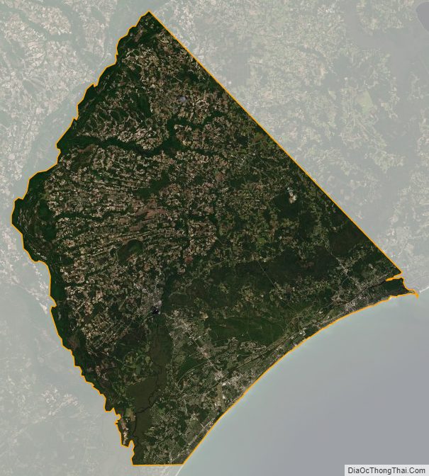
Horry County Satellite Map
Horry County Outline Map