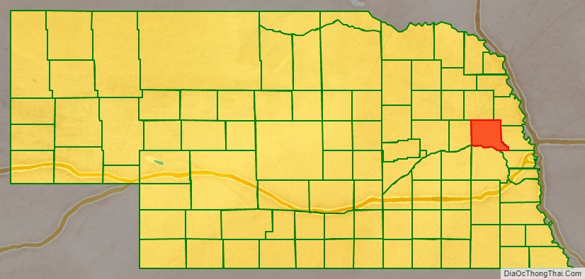
Dodge County is a county in the U.S. state of Nebraska. As of the 2010 United States Census, the population was 36,691. Its county seat is Fremont. The county was formed in 1855 and named after Iowa Senator Augustus C. Dodge.
Dodge County comprises the Fremont, NE Micropolitan Statistical Area, which is also included in the Omaha–Council Bluffs-Fremont, NE-IA Combined Statistical Area.
In the Nebraska license plate system, Dodge County is represented by the prefix 5 (it had the fifth-largest number of vehicles registered in the county when the license plate system was established in 1922).
| Name: | Dodge County |
|---|---|
| FIPS code: | 31-053 |
| State: | Nebraska |
| Founded: | 1855 |
| Named for: | Augustus C. Dodge |
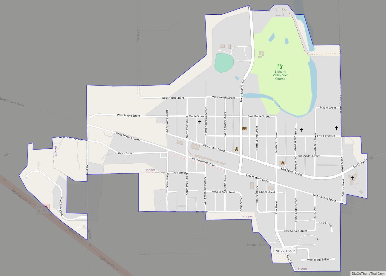
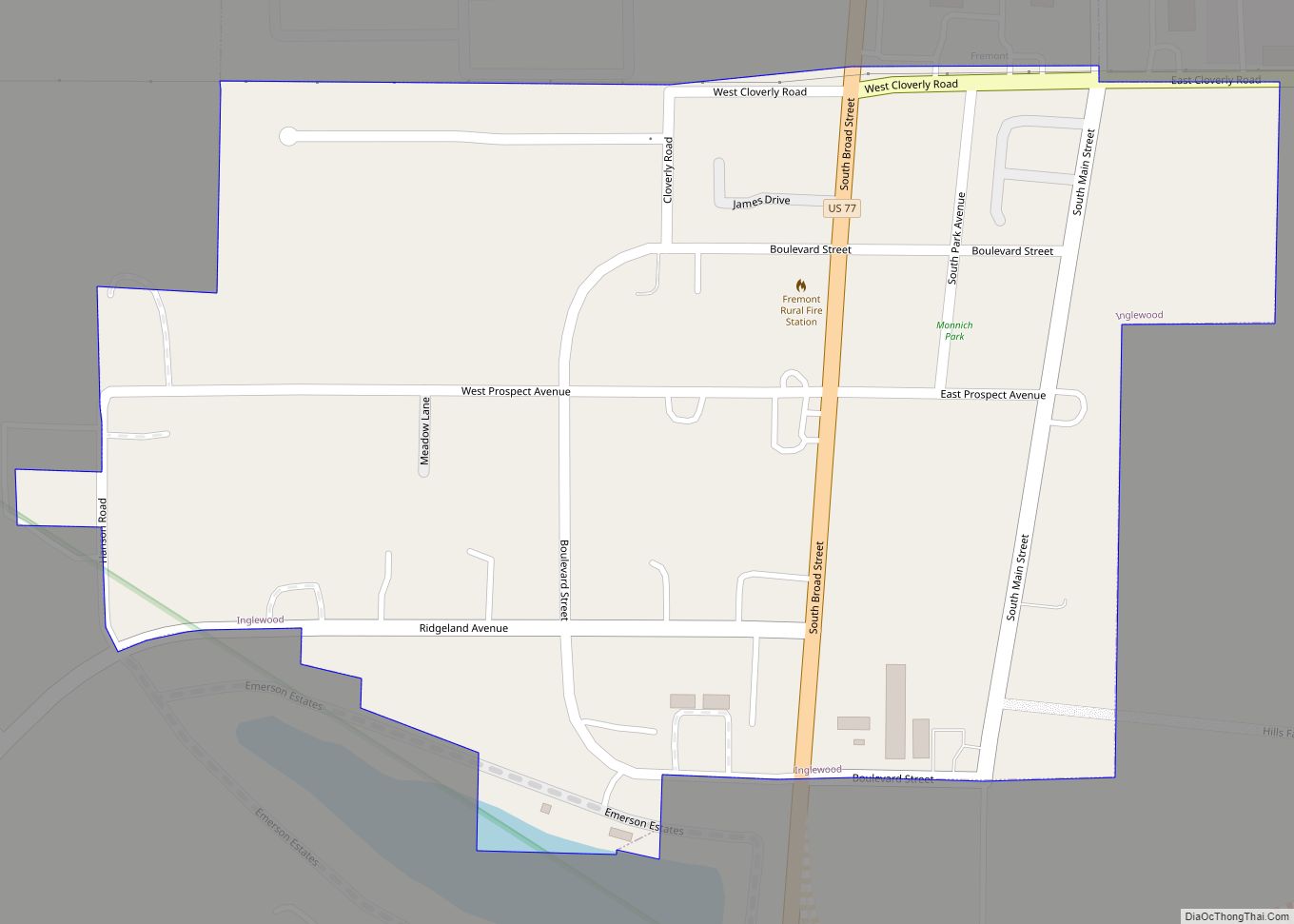
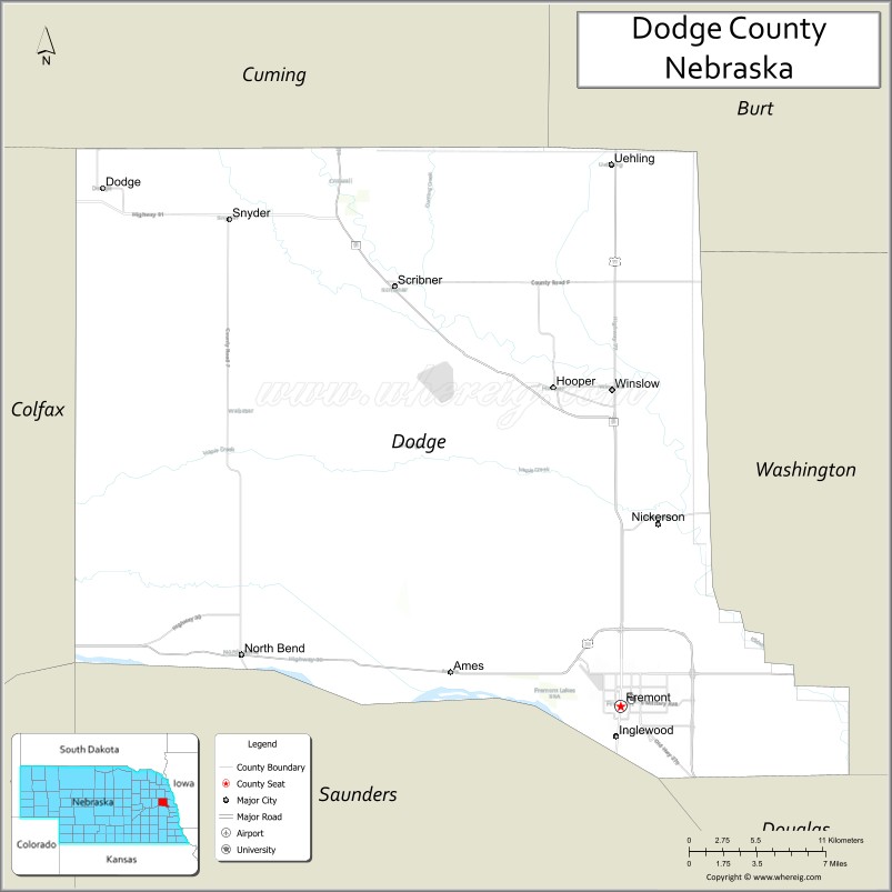
| Seat: | Fremont |
| Largest city: | Fremont |
| Total Area: | 543 sq mi (1,410 km²) |
| Land Area: | 529 sq mi (1,370 km²) |
| Total Population: | 37,167 |
| Population Density: | 70.3/sq mi (27.1/km²) |
| Time zone: | UTC−6 (Central) |
| Summer Time Zone (DST): | UTC−5 (CDT) |
| Website: | www.dodgecounty.ne.gov |
Dodge County location map. Where is Dodge County?

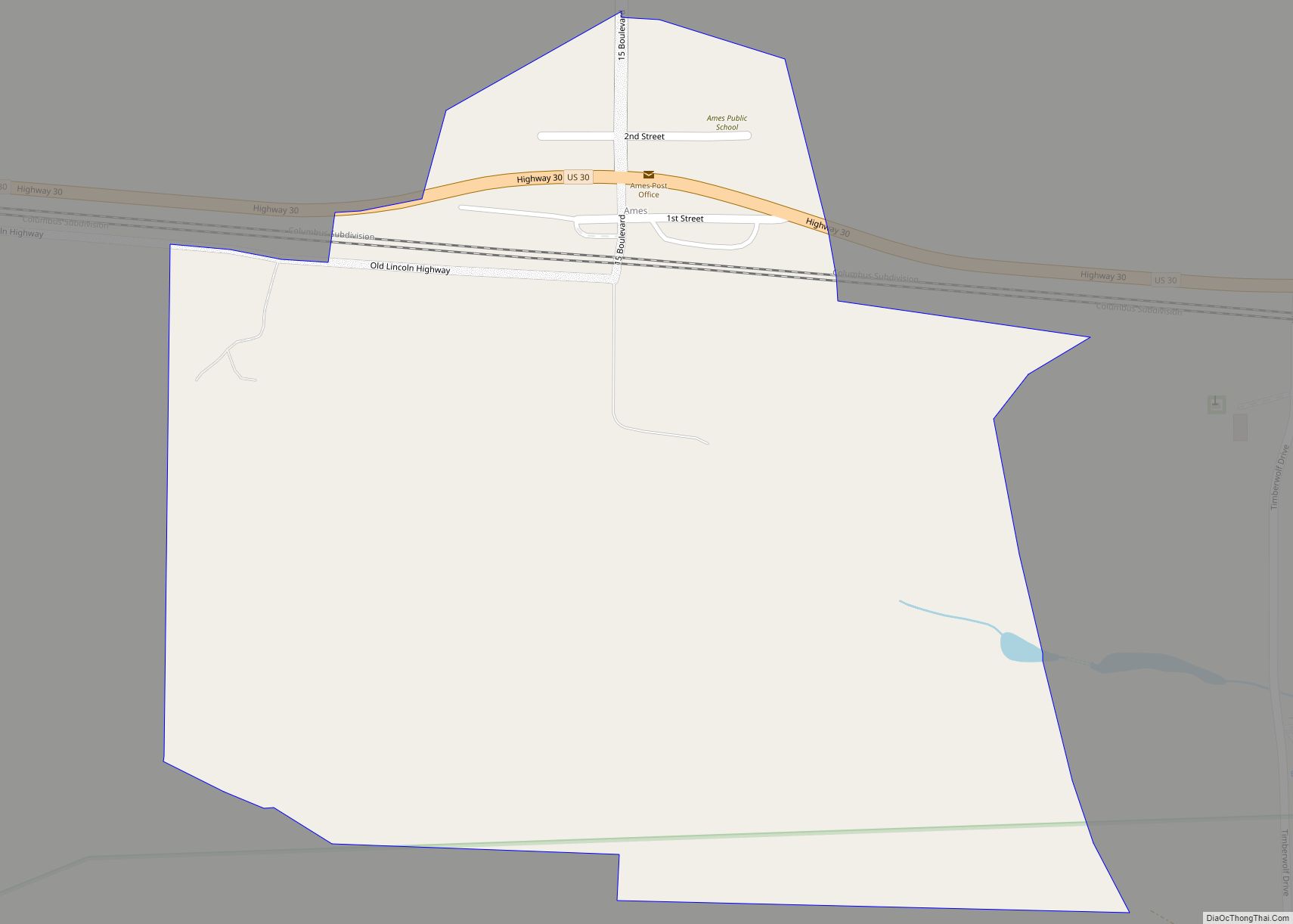
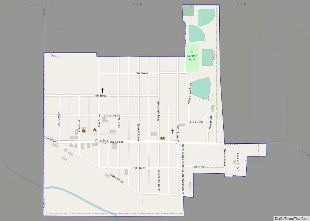
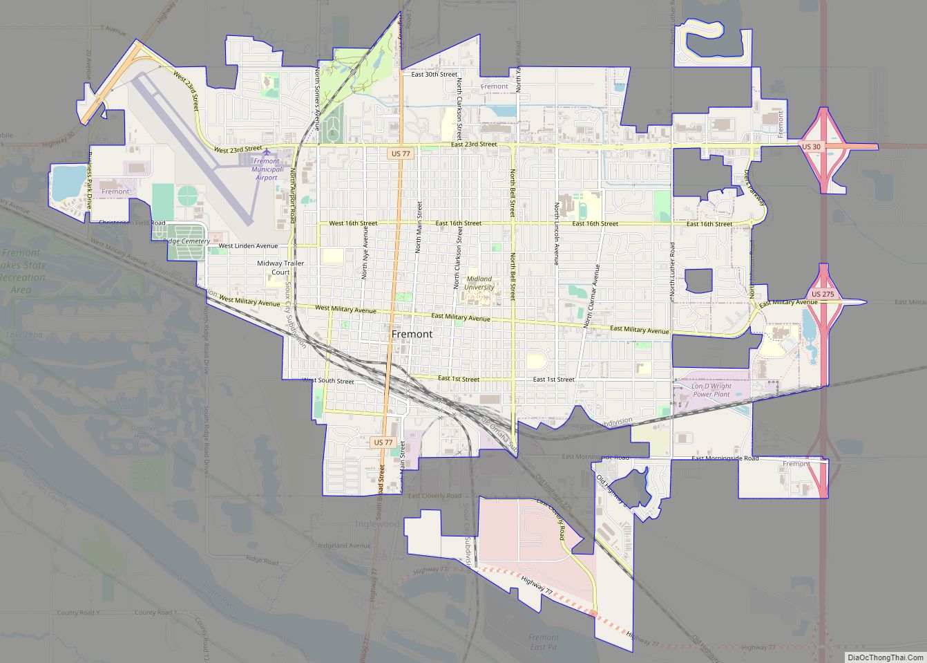
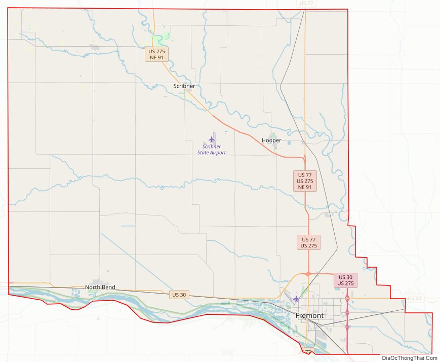
Dodge County Road Map
Geography
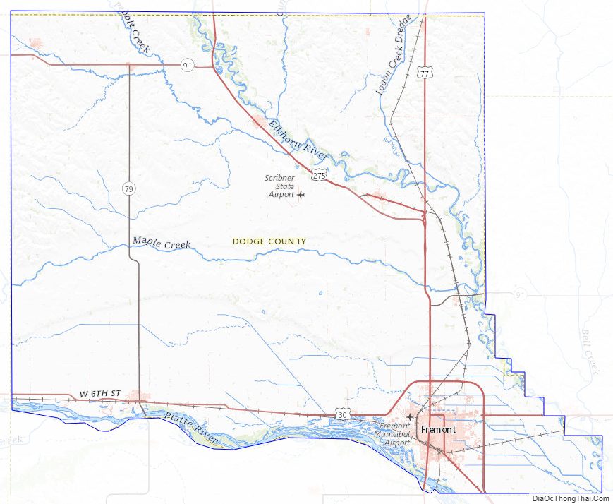
The Elkhorn River runs through the NE part of Dodge County. It drains into the Platte River below the SE corner of the county. The Platte River runs along the south line of Dodge County.
According to the US Census Bureau, the county has an area of 543 square miles (1,410 km), of which 529 square miles (1,370 km) is land and 14 square miles (36 km) (2.6%) is water.
Dodge County Topographic Map
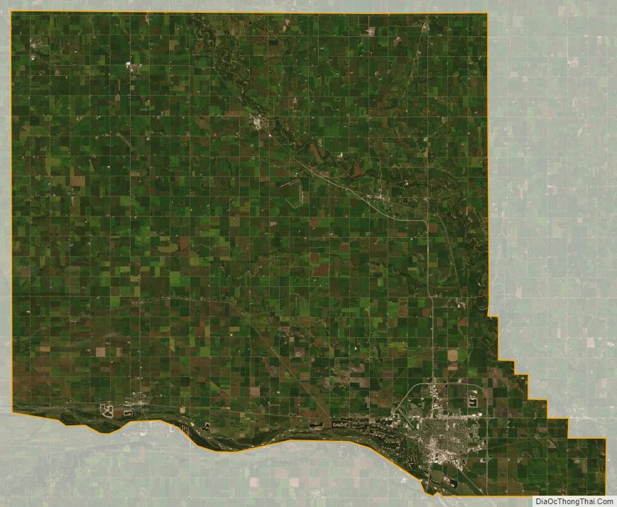
Dodge County Satellite Map
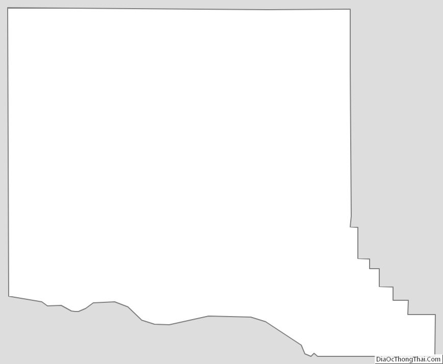
Dodge County Outline Map