Terrell County is a county located in the southwestern portion of the U.S. state of Georgia. As of the 2020 census, the population was 9,185. The county seat is Dawson.
Terrell County is included in the Albany, GA Metropolitan Statistical Area.
| Name: | Terrell County |
|---|---|
| FIPS code: | 13-273 |
| State: | Georgia |
| Founded: | 1856 |
| Named for: | William Terrell |
| Seat: | Dawson |
| Largest city: | Dawson |
| Total Area: | 338 sq mi (880 km²) |
| Land Area: | 335 sq mi (870 km²) |
| Total Population: | 9,185 |
| Population Density: | 27/sq mi (10/km²) |
| Time zone: | UTC−5 (Eastern) |
| Summer Time Zone (DST): | UTC−4 (EDT) |
| Website: | www.terrellcounty-ga.com |
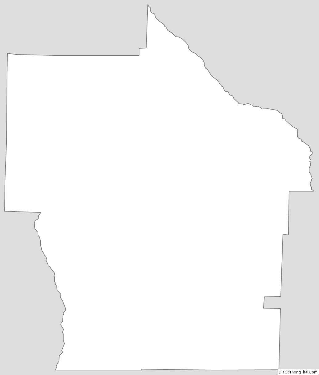
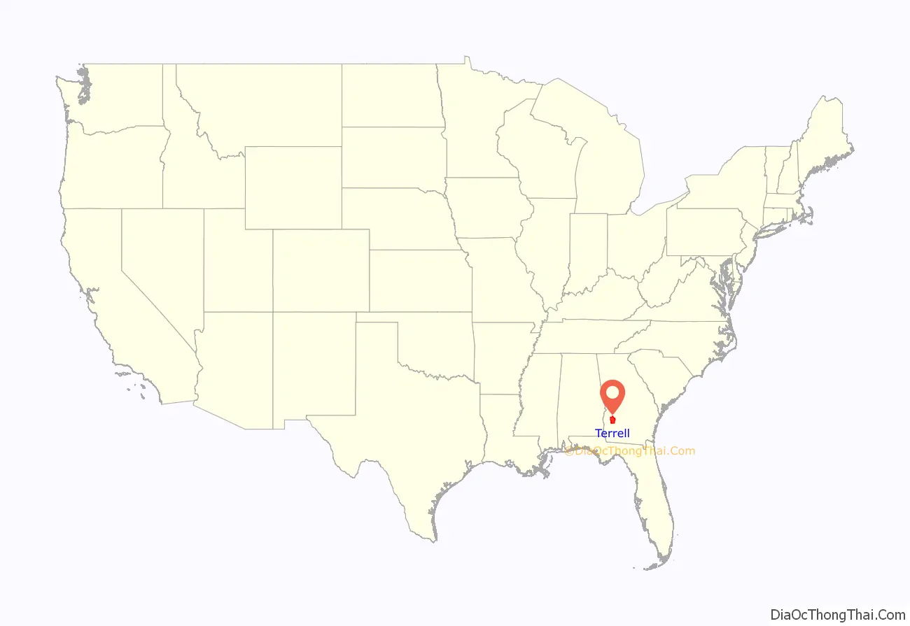
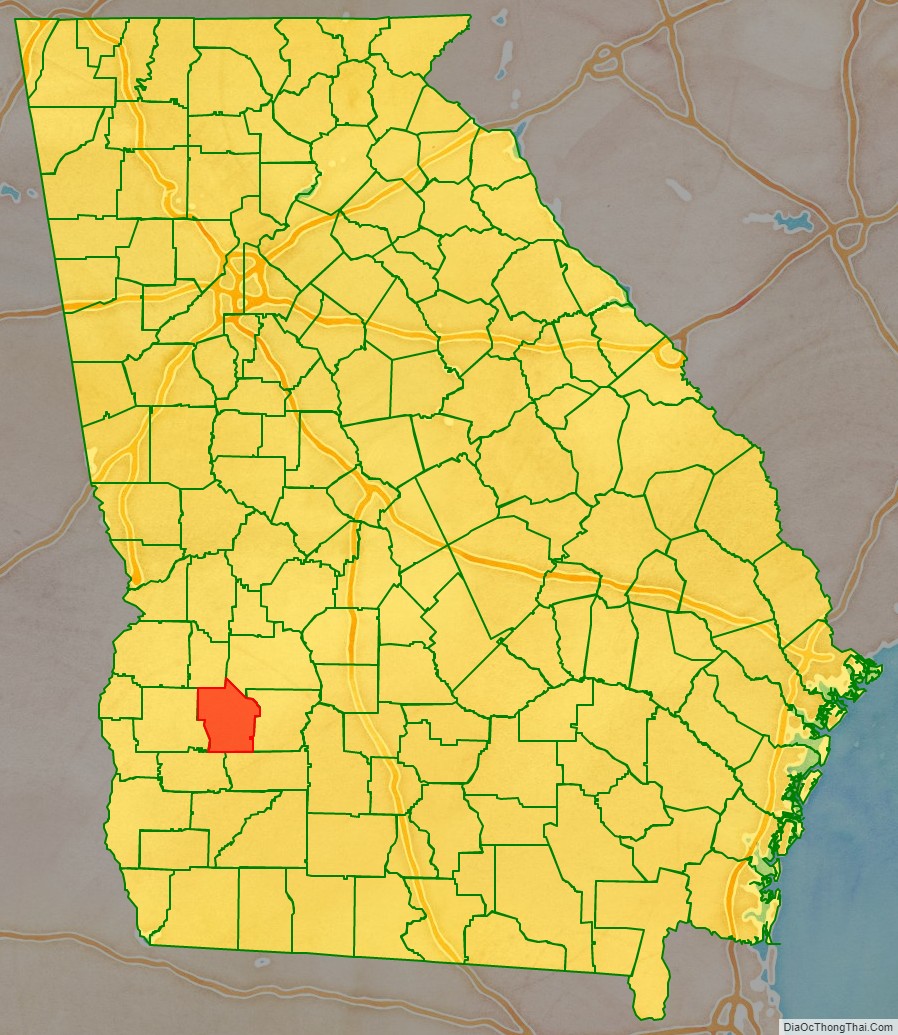
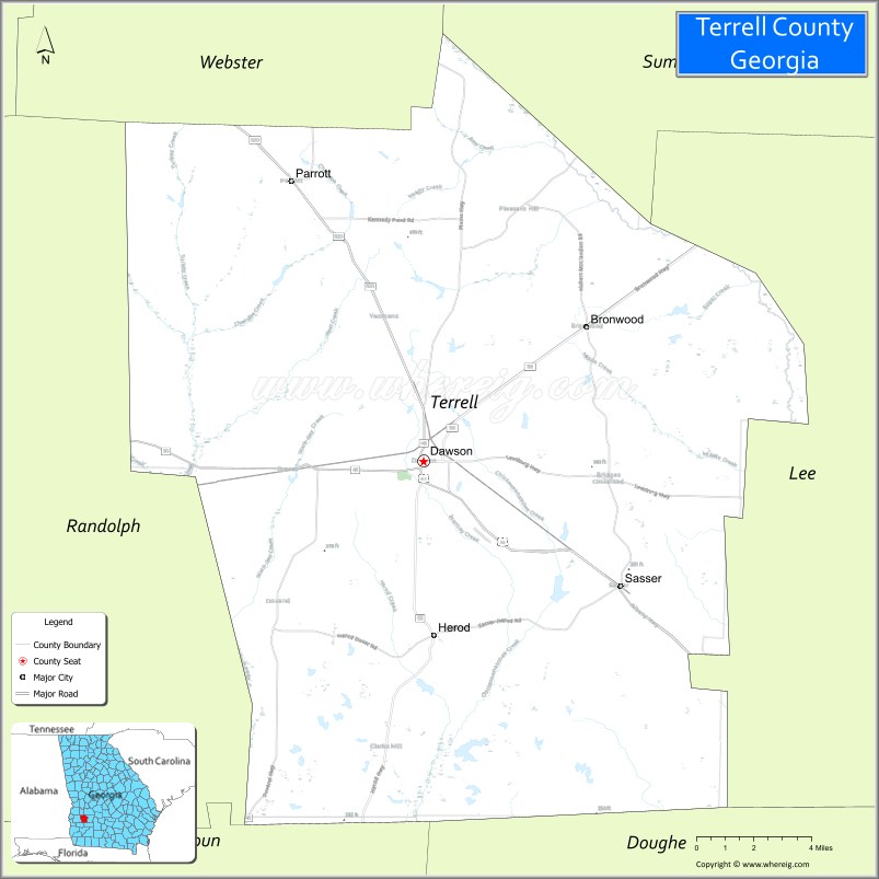
Terrell County location map. Where is Terrell County?
History
Formed from portions of Randolph and Lee Counties on February 16, 1856, by an act of the Georgia General Assembly, Terrell County is named for Dr. William Terrell (1778–1855) of Sparta, Georgia, who served in the Georgia General Assembly and the United States House of Representatives.
During the American Civil War, after Atlanta’s capture by Union forces, a refugee settlement was established in Terrell County for civilians forced to flee the city. The Fosterville settlement, named after Georgia Quartermaster General Ira Roe Foster, was according to author Mary Elizabeth Massey in her 2001 history, the “most ambitious refugee project approved by the Georgia General Assembly” [during that period]. On March 11, 1865, the Georgia General Assembly authorized General Foster to “continue to provide for maintenance of said exiles, or such of them as are unable by their labor to support themselves, or their families for the balance of the present year.”
During the civil rights era of the 1960s, the local white minority resisted change, sometimes violently; it subsequently became known as “Terrible Terrell County”. In 1958 the county refused to register a group of African-Americans including several teachers with Bachelors and Masters degrees on the grounds that they couldn’t read, and a college-educated marine who was refused registration on the grounds he could not write intelligibly. The case eventually reached the supreme court, and the county was ordered to allow them to register, but they did not immediately comply. In 1960, testimony showed that Black voters were given more tests, and more difficult tests, than White voters, and that illiterate Whites were allowed to vote, while well-educated Blacks were falsely determined to be illiterate. The county asserted that this was not discriminatory. In September 1962, an African-American church was burned down after it was used for voter registration meetings. (Note: Like other southern states, Georgia had disenfranchised most blacks at the turn of the century by rules raising barriers to voter registration; they were still excluded from the political system.) That month Prathia Hall delivered a speech at the site of the ruins, using the repeated phrase “I have a dream.” Rev. Martin Luther King Jr. attended her speech; afterward, he also began to use that phrase, including in his noted “I Have a Dream” speech in 1963 at the Lincoln Memorial in Washington, DC.
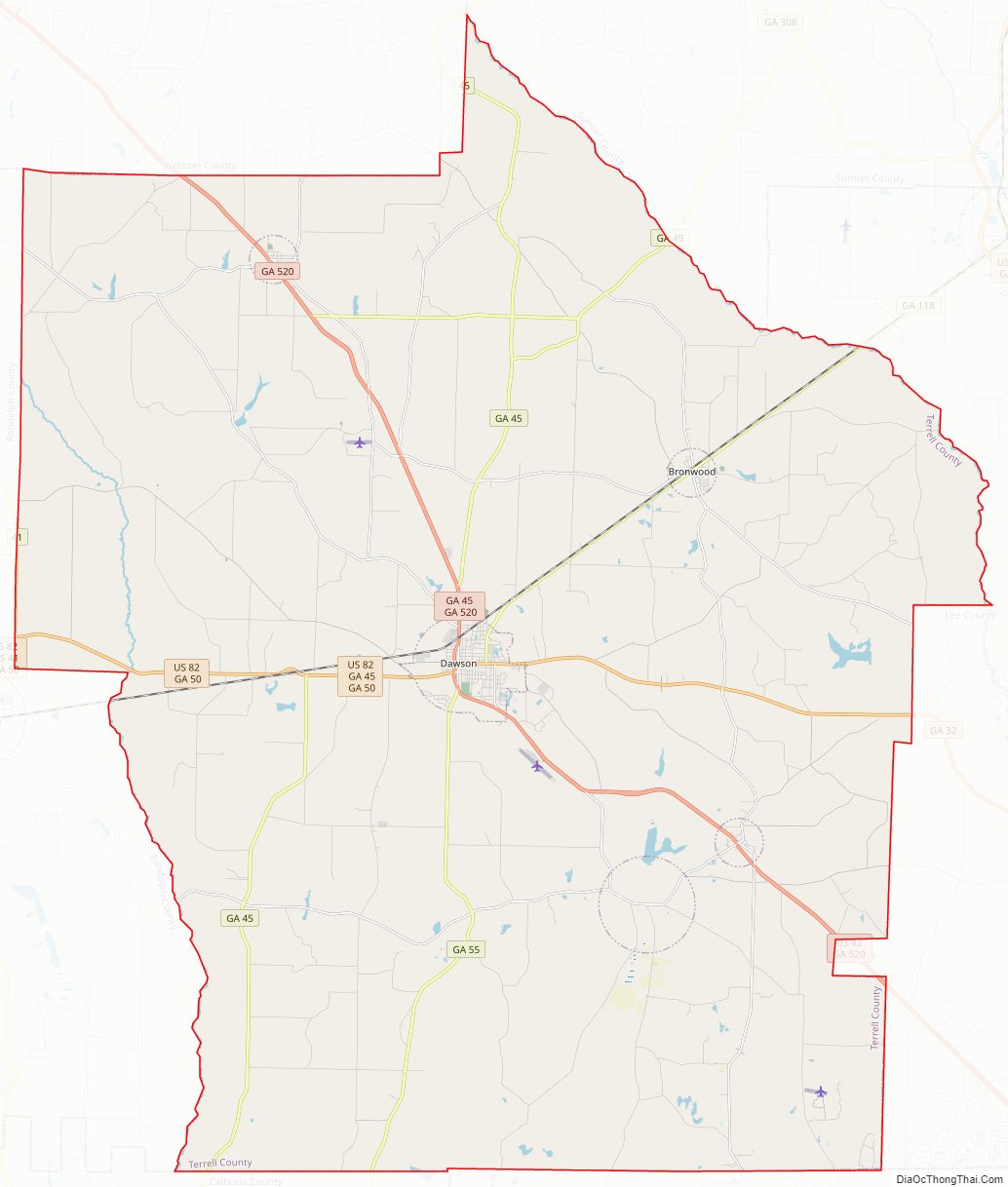
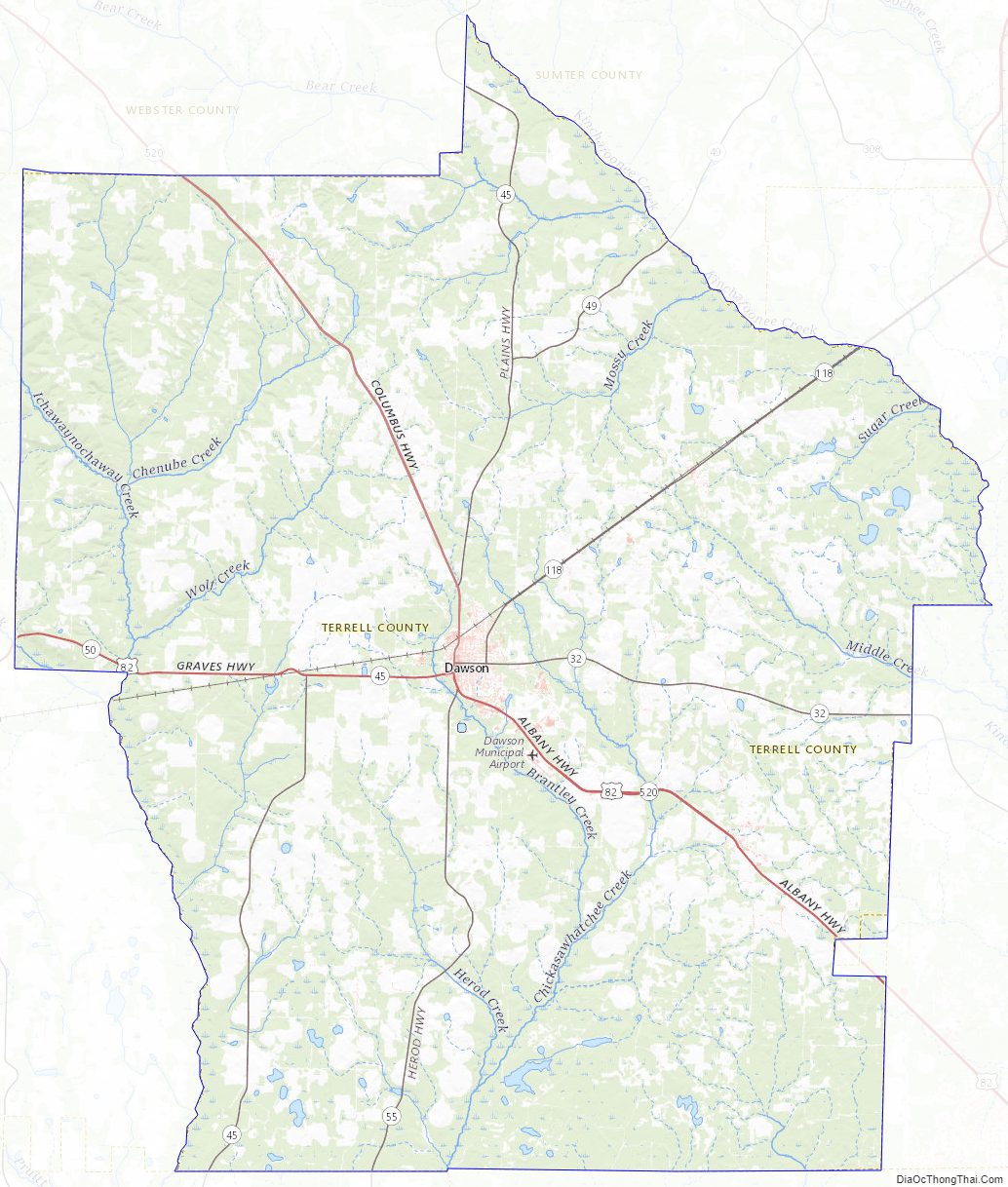
Terrell County Road Map
Geography
According to the U.S. Census Bureau, the county has a total area of 338 square miles (880 km), of which 335 square miles (870 km) is land and 2.3 square miles (6.0 km) (0.7%) is water.
The western and southern two-thirds of Terrell County is located in the Ichawaynochaway Creek sub-basin of the ACF River Basin (Apalachicola-Chattahoochee-Flint River Basin). The county’s northeastern third is located in the Kinchafoonee-Muckalee sub-basin of the same larger ACF River Basin.
Major highways
- U.S. Route 82
- State Route 32
- State Route 41
- State Route 45
- State Route 49
- State Route 50
- State Route 55
- State Route 118
- State Route 520
Adjacent counties
- Webster County – north
- Sumter County – northeast
- Lee County – east
- Dougherty County – southeast
- Calhoun County – southwest
- Randolph County – west
Terrell County Topographic Map
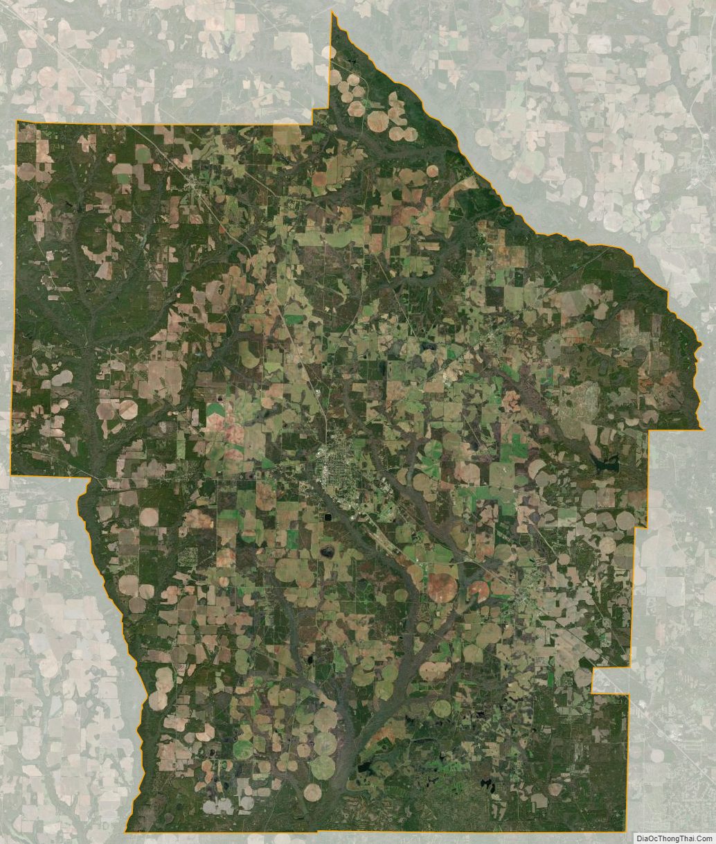
Terrell County Satellite Map
Terrell County Outline Map