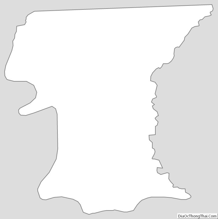
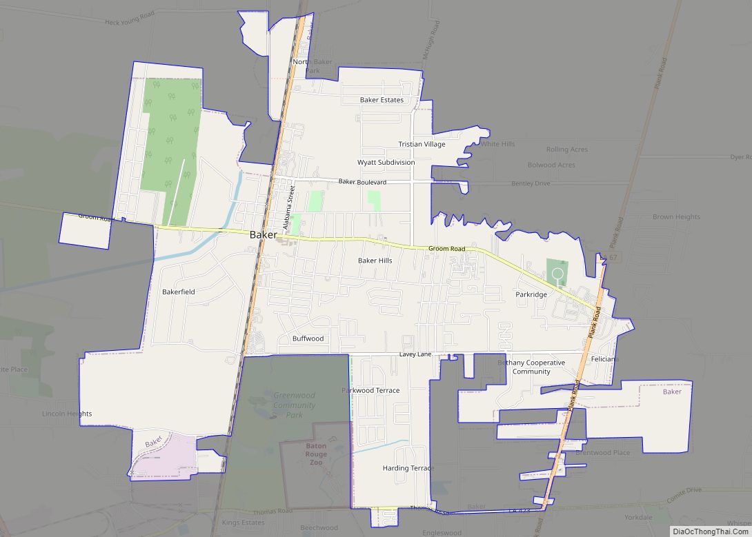
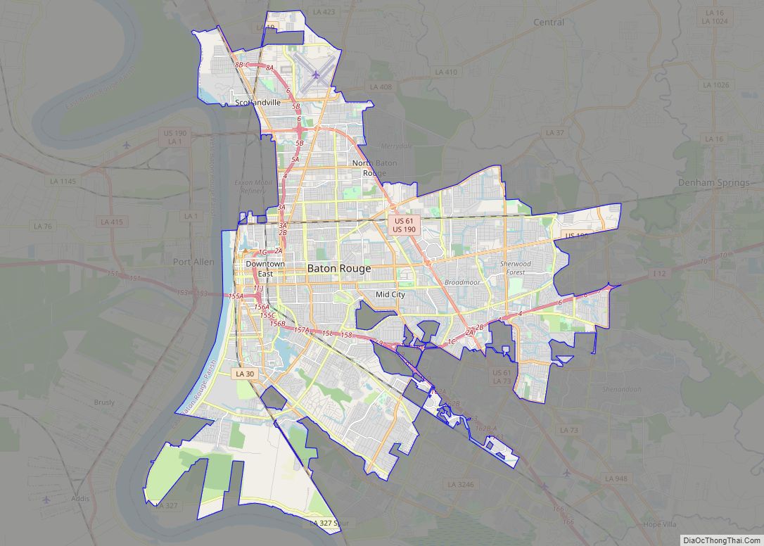
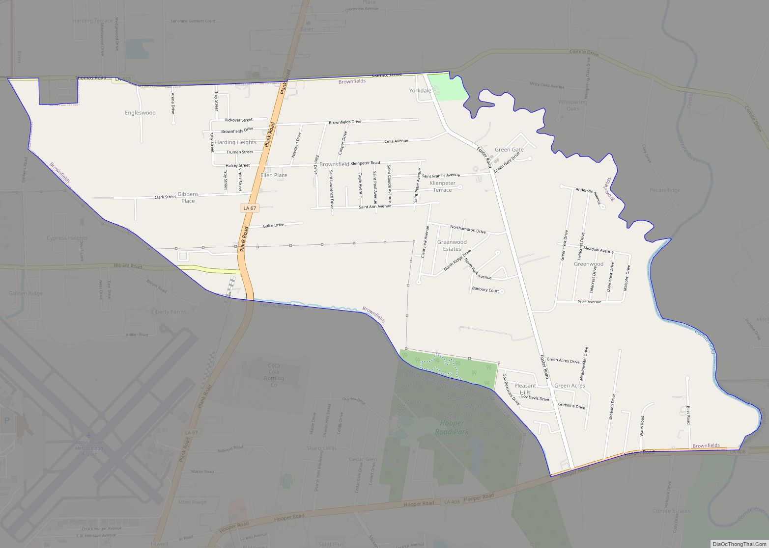
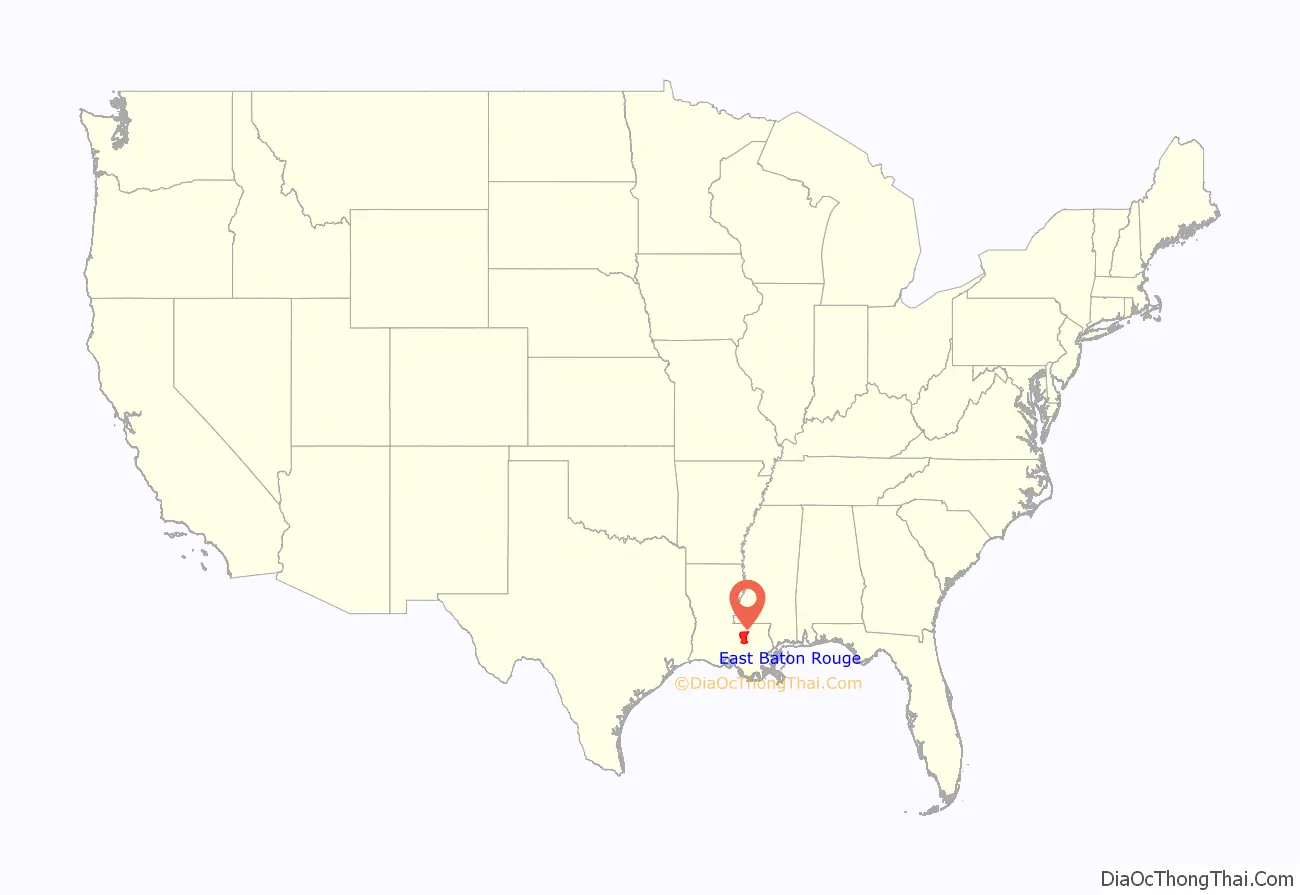
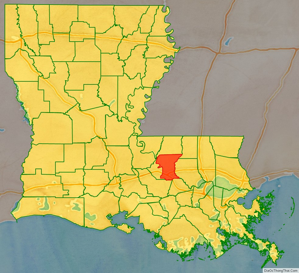
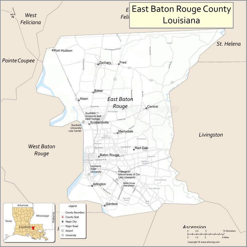
East Baton Rouge Parish (French: Paroisse de Bâton Rouge Est) is the most populous parish in the U.S. state of Louisiana. Its population was 456,781 at the 2020 census. The parish seat is Baton Rouge, Louisiana’s state capital. East Baton Rouge Parish is located within the Greater Baton Rouge area.
| Name: | East Baton Rouge Parish |
|---|---|
| FIPS code: | 22-033 |
| State: | Louisiana |
| Founded: | 1812 |
| Seat: | Baton Rouge |
| Total Area: | 470 sq mi (1,200 km²) |
| Land Area: | 455 sq mi (1,180 km²) |
| Total Population: | 456,781 |
| Population Density: | 970/sq mi (380/km²) |
| Time zone: | UTC-6 (CST) |
| Summer Time Zone (DST): | UTC-5 (CDT) |
| Website: | Parish of East Baton Rouge |
East Baton Rouge Parish location map. Where is East Baton Rouge Parish?
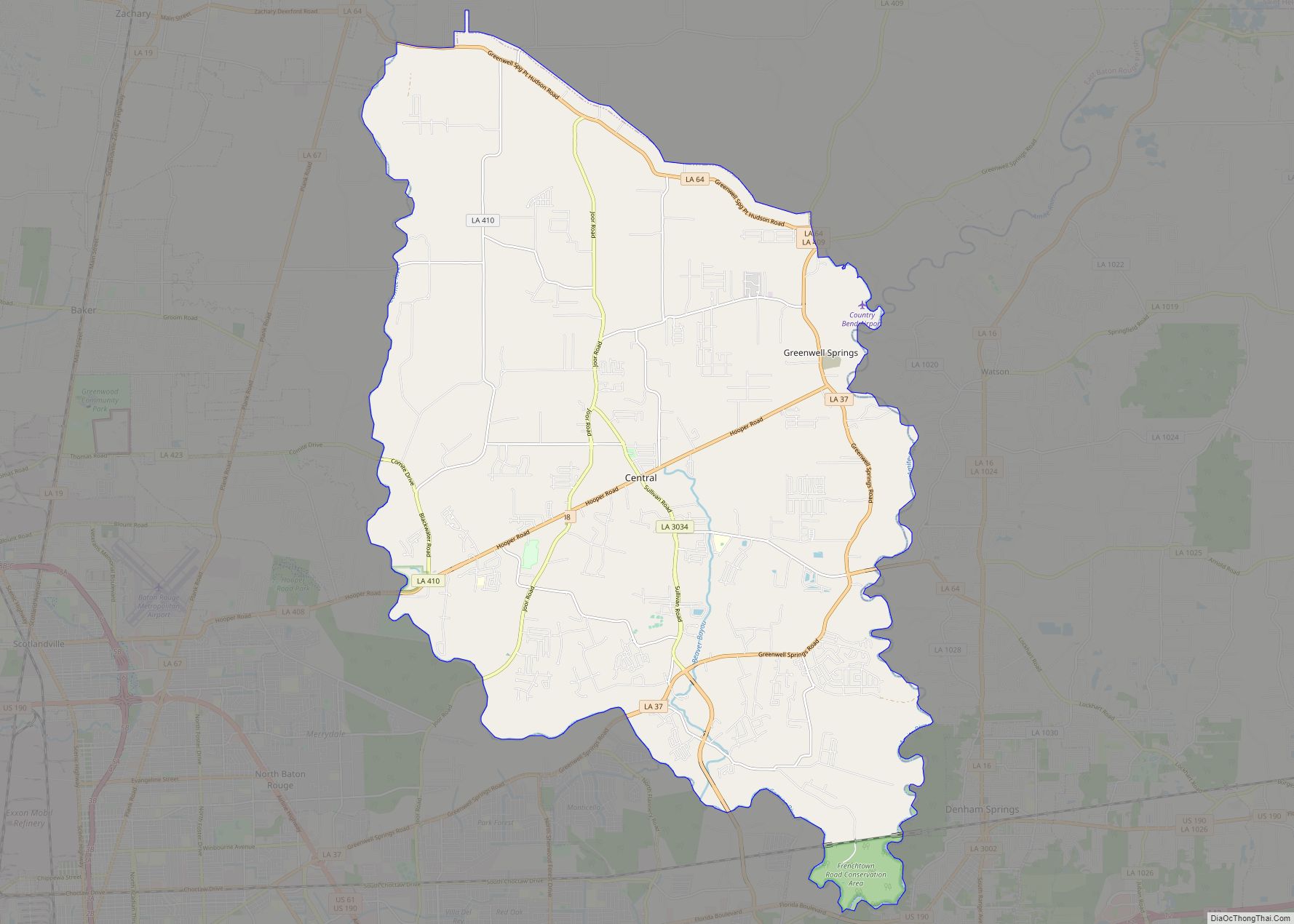
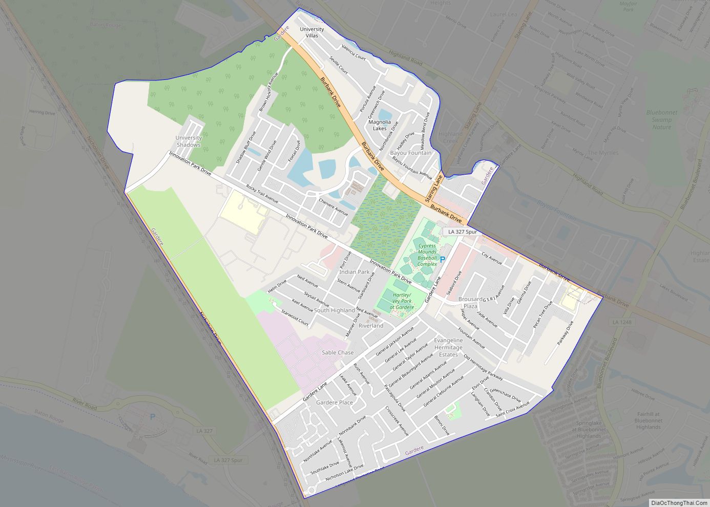
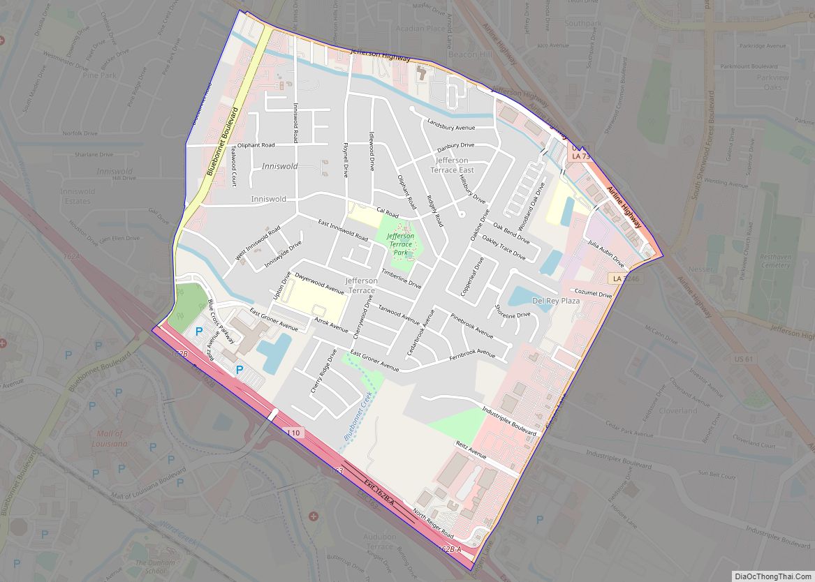
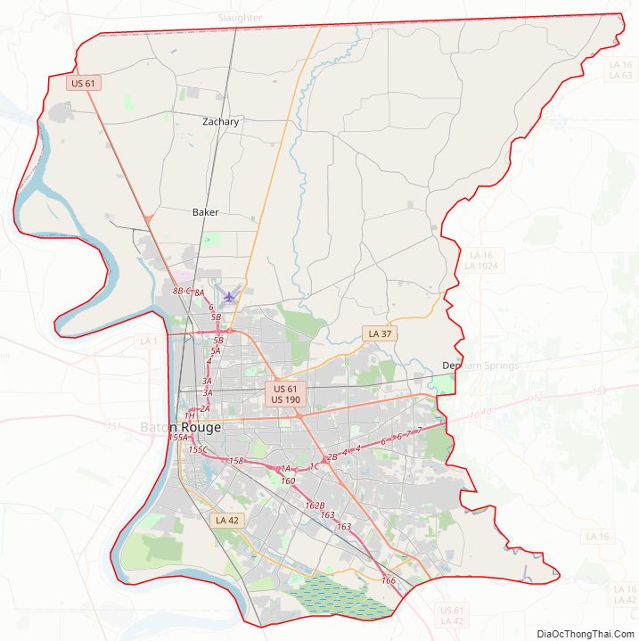
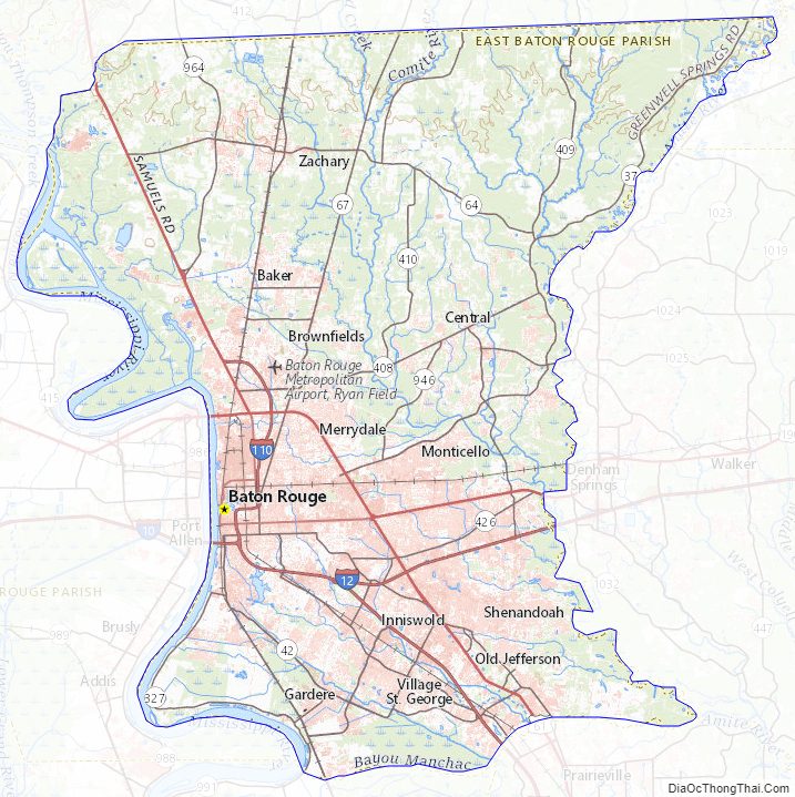
East Baton Rouge Parish Road Map
Geography
According to the U.S. Census Bureau, the parish has a total area of 470 sq mi (1,200 km), of which 15 sq mi (39 km) (3.2%) are covered by water.
Bodies of water
- Amite River
- Bayou Manchac
- Comite River
- Mississippi River
- Thompson Creek
Major highways
- Interstate 10
- Interstate 12
- Interstate 110
- U.S. Highway 61
- U.S. Highway 190
Adjacent parishes
- East Feliciana Parish (north)
- West Feliciana Parish (northwest)
- West Baton Rouge Parish (west)
- Iberville Parish (south)
- Ascension Parish (southeast)
- Livingston Parish (east)
- St. Helena Parish (northeast)
East Baton Rouge Parish Topographic Map
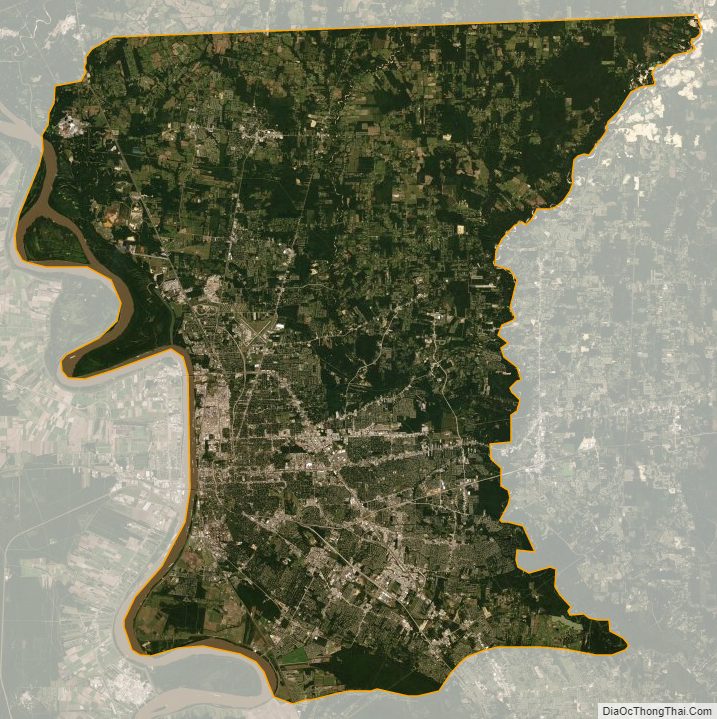
East Baton Rouge Parish Satellite Map
East Baton Rouge Parish Outline Map