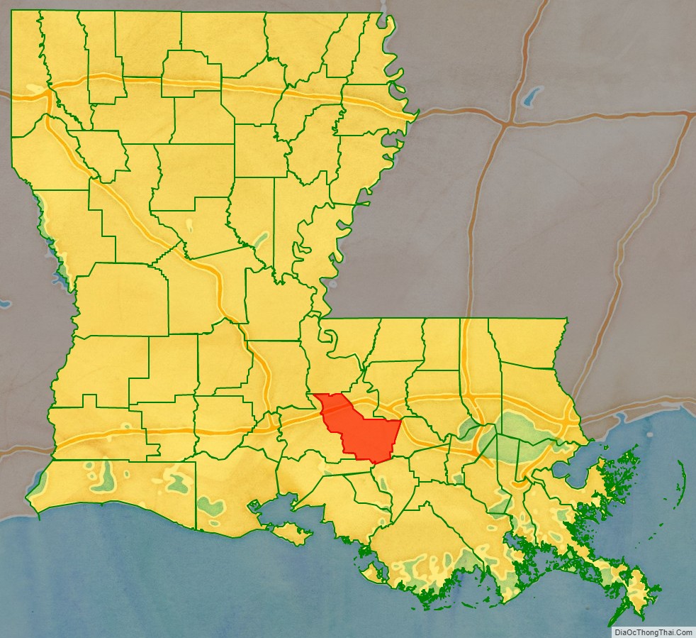
Iberville Parish (French: Paroisse d’Iberville) is a parish located south of Baton Rouge in the U.S. state of Louisiana, formed in 1807. The parish seat is Plaquemine. The population was 30,241 at the 2020 census.
| Name: | Iberville Parish |
|---|---|
| FIPS code: | 22-047 |
| State: | Louisiana |
| Founded: | 1807 |
| Named for: | Pierre Le Moyne d’Iberville |
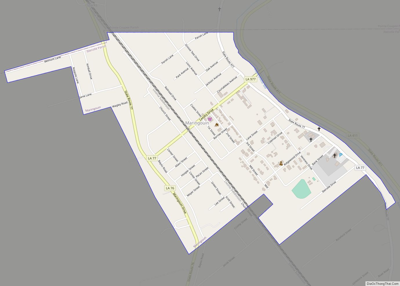
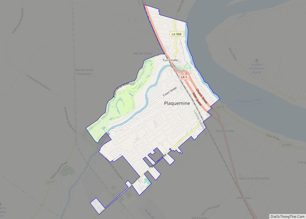
| Seat: | Plaquemine |
| Largest city: | St. Gabriel |
| Total Area: | 653 sq mi (1,690 km²) |
| Land Area: | 619 sq mi (1,600 km²) |
| Total Population: | 30,241 |
| Population Density: | 46/sq mi (18/km²) |
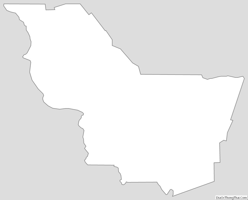
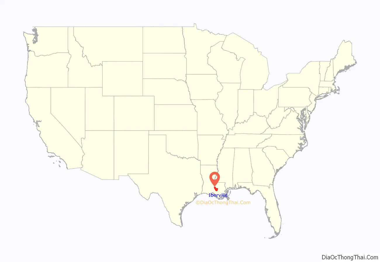
Iberville Parish location map. Where is Iberville Parish?
History
The parish is named for Pierre Le Moyne d’Iberville, who founded the French colony of Louisiana.
A few archeological efforts have been made in the Parish, mainly to excavate the Native American burial mounds that have been identified there. The first expedition, led by Clarence B. Moore, was an attempt at collecting data from a couple of the sites, and it set the groundwork for later projects. Moore was mainly interested in the skeletal remains of the previous inhabitants, rather than excavating for archeological items. Archeologists are especially interested in these sites because of their uniformity and size. Some of the mounds are seven hundred feet long, a hundred feet wide and six feet tall. Most of them contain human remains.
Iberville Parish is represented in the Louisiana State Senate by a Republican, attorney Rick Ward III, a former member of the Louisiana House of Representatives, who has served in the Senate since 2012. The parish is currently represented in the state House by Democrat Major Thibaut of Oscar in Pointe Coupee Parish.
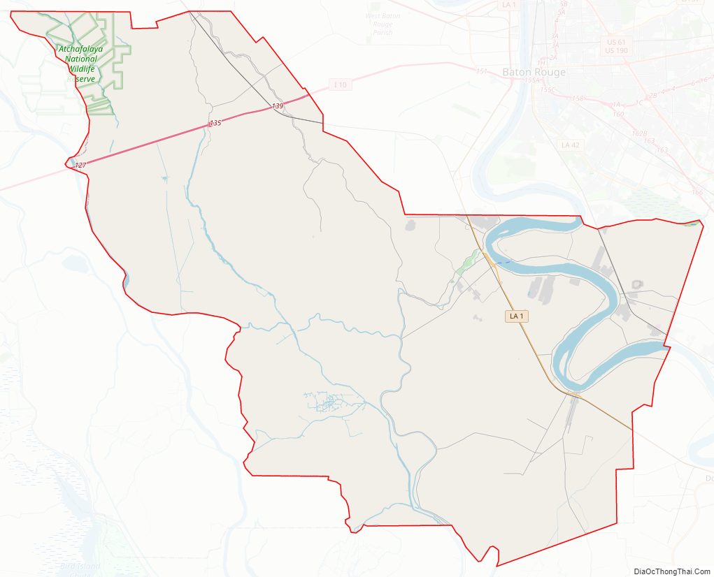
Iberville Parish Road Map
Geography
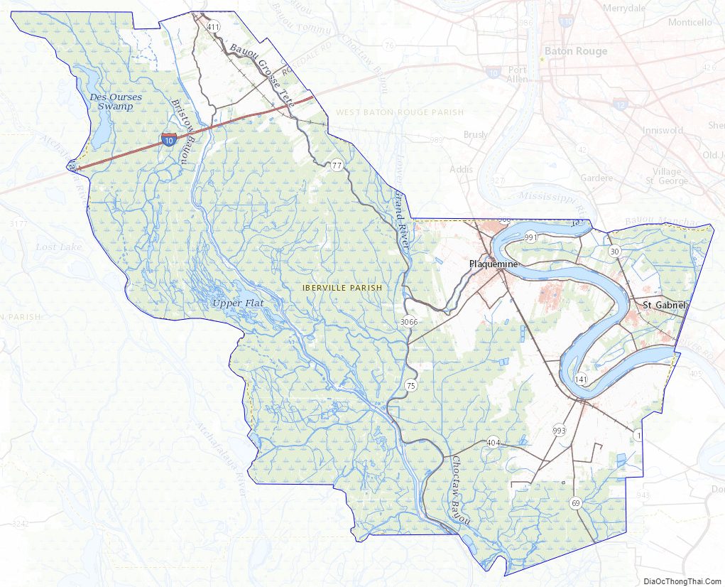
According to the U.S. Census Bureau, the parish has a total area of 653 square miles (1,690 km), of which 619 square miles (1,600 km) is land and 34 square miles (88 km) (5.2%) is water. Iberville Parish is part of the Baton Rouge metropolitan statistical area.
Major highways
- Interstate Highway 10
- Louisiana Highway 1
- Louisiana Highway 30
- Louisiana Highway 69
- Louisiana Highway 75
- Louisiana Highway 76
- Louisiana Highway 77
Adjacent parishes
- Pointe Coupee Parish (northwest)
- West Baton Rouge Parish (north)
- East Baton Rouge Parish (northeast)
- Ascension Parish (east)
- Assumption Parish (southeast)
- Iberia Parish (south)
- St. Martin Parish (west)
National protected area
- Atchafalaya National Wildlife Refuge (part)
Iberville Parish Topographic Map
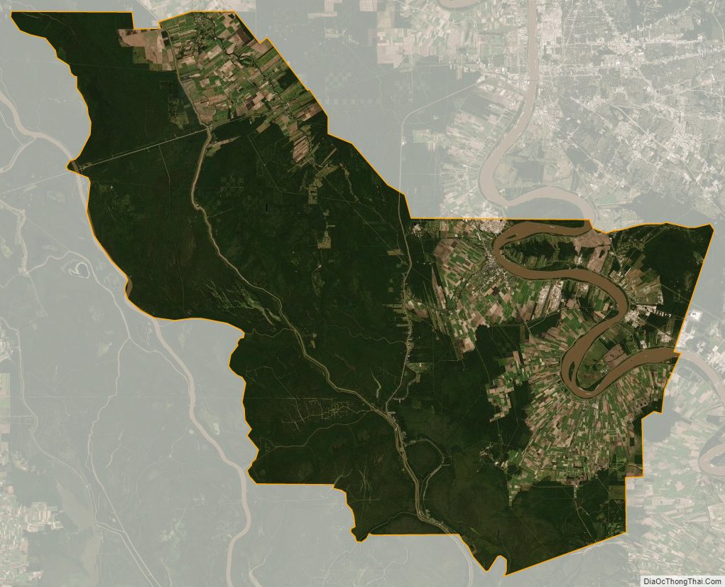
Iberville Parish Satellite Map
Iberville Parish Outline Map