Baton Rouge (/ˌbætən ˈruːʒ/ BAT-ən ROOZH; from French Bâton-Rouge ‘red stick’) is a city in and the capital of the U.S. state of Louisiana. Located on the eastern bank of the Mississippi River, it is the parish seat of East Baton Rouge Parish, Louisiana’s most populous parish—the equivalent of counties in other states. Since 2020, it has been the second-largest city in Louisiana after New Orleans; Baton Rouge is the 18th-most-populous state capital. According to the 2020 United States census, the city-proper had a population of 227,470; its consolidated population was 456,781 in 2020. The city is the center of the Greater Baton Rouge area—Louisiana’s second-largest metropolitan area—with a population of 870,569 as of 2020, up from 802,484 in 2010. Baton Rouge is the fourth most populous city proper in the Deep South region of the southeastern United States.
The Baton Rouge area owes its historical importance to its strategic site upon the Istrouma Bluff, the first natural bluff upriver from the Mississippi River Delta at the Gulf of Mexico. This allowed development of a business quarter safe from seasonal flooding. In addition, it built a levee system stretching from the bluff southward to protect the riverfront and low-lying agricultural areas.
It has developed as a culturally rich center, with settlement by immigrants from numerous European nations and African peoples brought to North America as slaves or indentured servants. It was ruled by seven different governments: French, British, and Spanish in the colonial era; the Republic of West Florida; as a United States territory and state; Confederate, and United States again since the end of the American Civil War. Through the various occupying national governments of Baton Rouge, the city and its metropolitan area have developed as a multicultural region practicing many religious traditions from Catholicism to Protestantism, and Louisiana and Haitian Vodou; the area has also become home to a sizeable lesbian, gay, bisexual and transgender community, and elected the first open LGBT politician for the Louisiana Public Service Commission.
Baton Rouge is a major industrial, petrochemical, medical, research, motion picture, and growing technology center of the American South. It is the location of Louisiana State University—the LSU system’s flagship university and the state’s largest institution of higher education. It is also the location of Southern University, the flagship institution of the Southern University System—the nation’s only historically black college system. The Port of Greater Baton Rouge is the tenth-largest in the U.S. by tonnage shipped, and is the farthest upstream Mississippi River port capable of handling Panamax ships. Major corporations participating in the Baton Rouge metropolitan statistical area’s economy include Amazon, Lamar Advertising Company, BBQGuys, Marucci Sports, Piccadilly Restaurants, Raising Cane’s Chicken Fingers, ExxonMobil, Brown & Root, Shell, and Dow Chemical Company.
| Name: | Baton Rouge city |
|---|---|
| LSAD Code: | 25 |
| LSAD Description: | city (suffix) |
| State: | Louisiana |
| County: | East Baton Rouge Parish |
| Founded: | 1699 |
| Incorporated: | January 16, 1817 |
| Elevation: | 46 ft (14 m) |
| Total Area: | 79.11 sq mi (204.89 km²) |
| Land Area: | 86.32 sq mi (223.56 km²) |
| Water Area: | 2.20 sq mi (5.71 km²) |
| Population Density: | 2,635.32/sq mi (1,017.50/km²) |
| Area code: | 225 |
| FIPS code: | 2205000 |
| GNISfeature ID: | 1629914 |
| Website: | www.brla.gov |
If you’re ever planning a visit to Baton Rouge, you can use our collection of maps to explore this captivating city. From a road map to a 10 things to do list and an interactive map of Baton Rouge, you’ll be well-prepared for your journey.
Maps of Baton Rouge, Louisiana
Baton Rouge, Louisiana is a captivating city with a rich cultural history and plenty of attractions to explore. To help you plan your visit, we have a collection of maps for the capital city of Louisiana, which includes a road map, 10 things to do, and a general reference map. We also have an interactive map of Baton Rouge for you to learn more about this intriguing city.
The city of Baton Rouge was founded more than 300 years ago and is named for a red stick that was stained with the blood of fish and animals. With over 225,000 people and an area of 230 square kilometers, it is located in southeastern Louisiana along the Mississippi River. People come from all over to experience its southern charm and French roots.
Whether you’re looking for a road map to get around, a list of attractions, or a general reference map, our collection of maps of Baton Rouge will help you plan your visit. So, if you ever plan to go to Baton Rouge, use our maps to explore this captivating city!
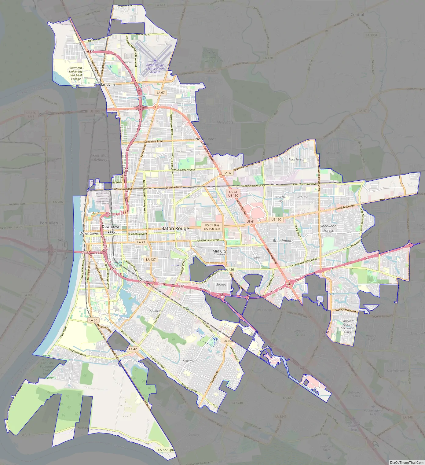
Online Interactive Map
Click on ![]() to view map in "full screen" mode.
to view map in "full screen" mode.
In this zoomable and scrollable map, you can explore the city of Baton Rouge and discover the best places to visit. The map depicts the Greater Baton Rouge area and contains major highways, airports, shopping centers, restaurants, hospitals, and much more. This interactive map lets you adventure around the city of Baton Rouge and is for tourists and residents alike.
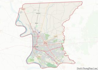
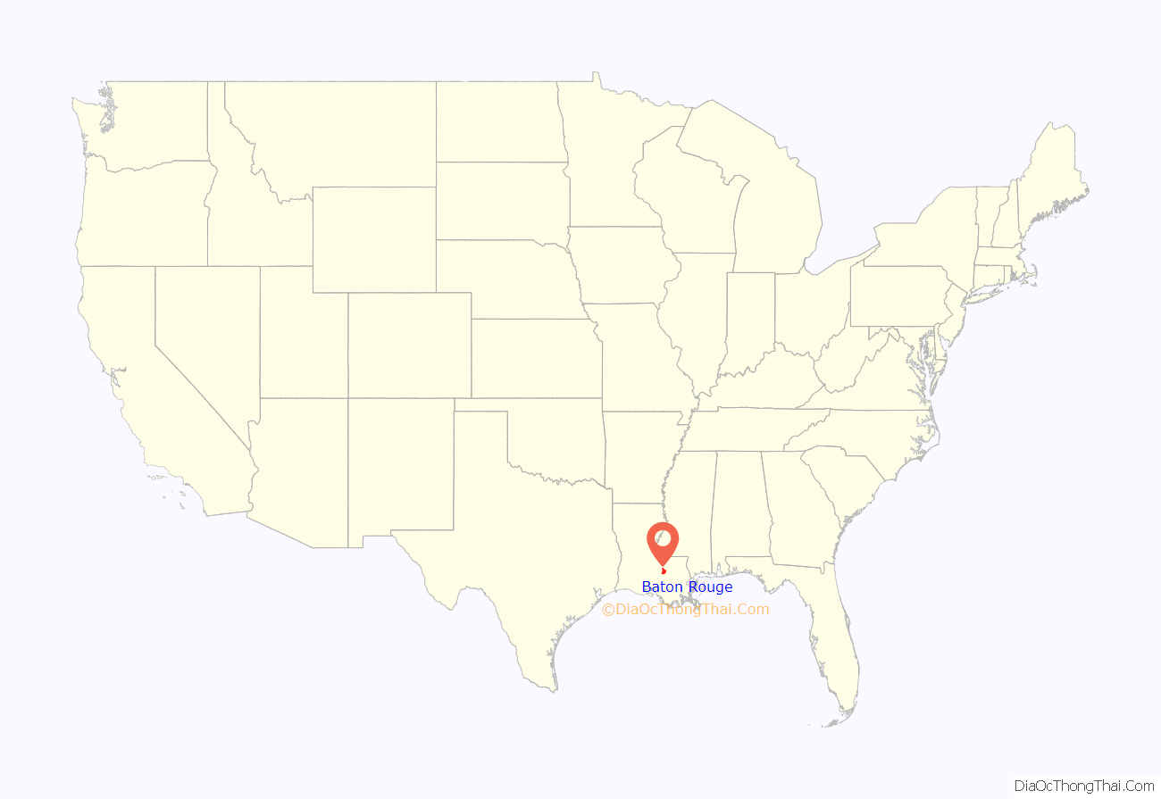
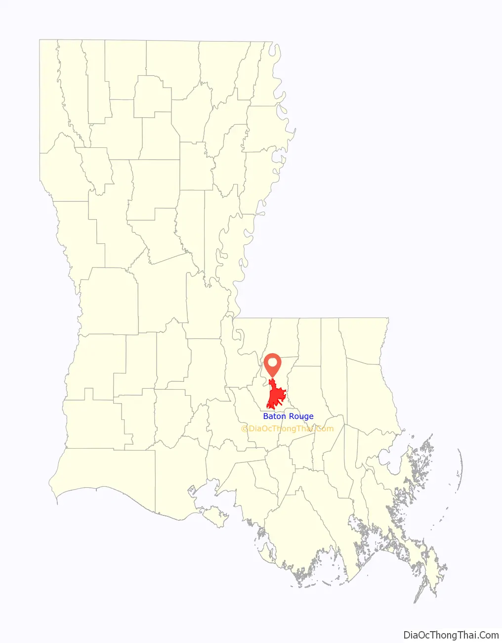
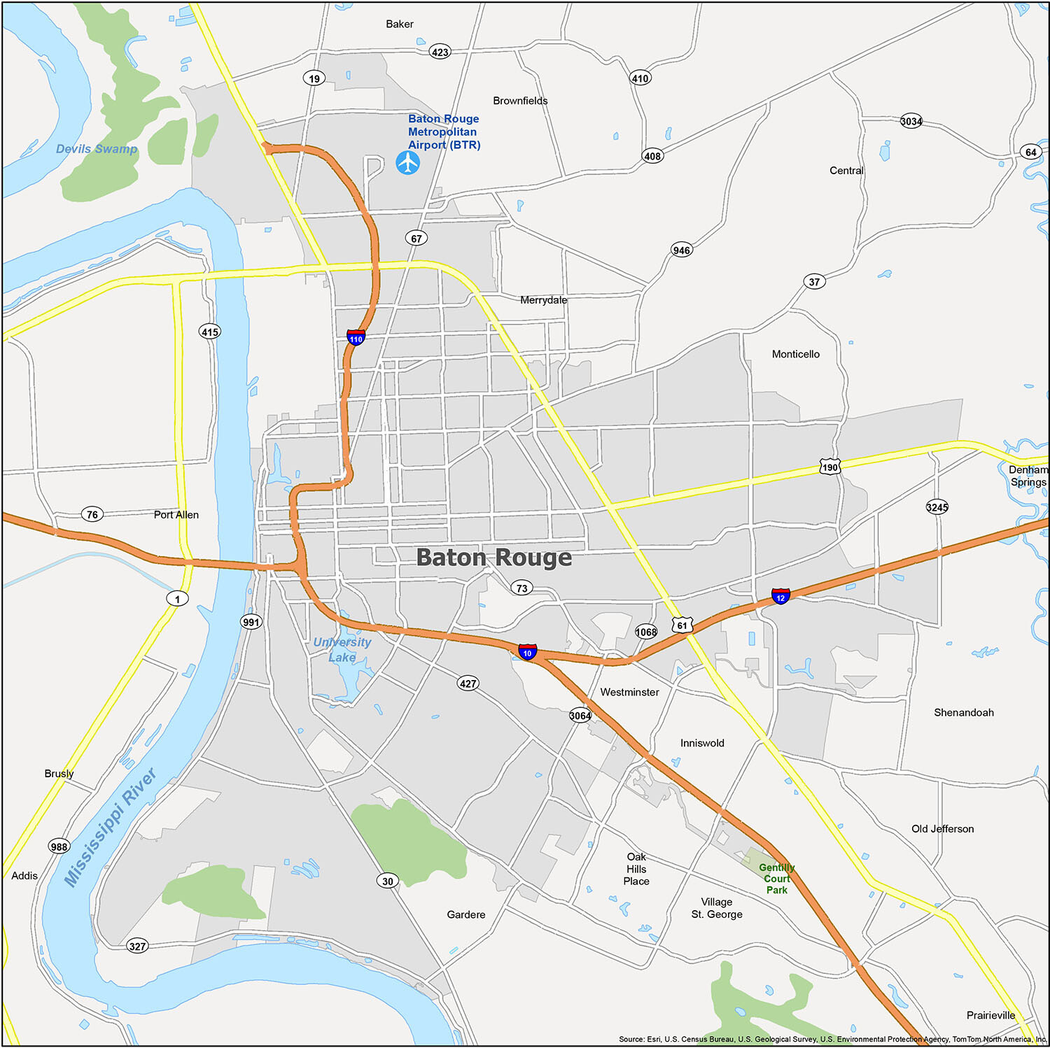
Baton Rouge location map. Where is Baton Rouge city?
History
Pre–history
Human habitation in the Baton Rouge area has been dated to 12000–6500 BC, based on evidence found along the Mississippi, Comite, and Amite rivers. Earthwork mounds were built by hunter-gatherer societies in the Middle Archaic period, from roughly the fourth millennium BC. The speakers of the Proto-Muskogean language divided into its descendant languages by about 1000 BC; and a cultural boundary between either side of Mobile Bay and the Black Warrior River began to appear between about 1200 BC and 500 BC—a period called the Middle “Gulf Formational Stage”. The Eastern Muskogean language began to diversify internally in the first half of the first millennium AD.
The early Muskogean societies were the bearers of the Mississippian culture, which formed around 800 AD and extended in a vast network across the Mississippi and Ohio valleys, with numerous chiefdoms in the Southeast, as well. By the time the Spanish made their first forays inland from the shores of the Gulf of Mexico in the early 16th century, by some evidence many political centers of the Mississippians were already in decline, or abandoned. At the time, this region appeared to have been occupied by a collection of moderately sized native chiefdoms, interspersed with autonomous villages and tribal groups. Other evidence indicates these Mississippian settlements were thriving at the time of the first Spanish contact. Later Spanish expeditions encountered the remains of groups who had lost many people and been disrupted in the aftermath of infectious diseases, chronic among Europeans, unknowingly introduced by the first expedition.
Colonial period
French explorer Pierre Le Moyne d’Iberville led an exploration party up the Mississippi River in 1698. The explorers saw a red pole marking the boundary between the Houma and Bayagoula tribal hunting grounds. The French name le bâton rouge (“the red stick”) is the translation of a native term rendered as Istrouma, possibly a corruption of the Choctaw iti humma (“red pole”); André-Joseph Pénicaut—a carpenter traveling with d’Iberville—published the first full-length account of the expedition in 1723. According to Pénicaut:
The red pole was presumably at Scott’s Bluff, on what is now the campus of Southern University. It was reportedly a 30-foot-high (9.1 m) painted pole adorned with fish bones.
European settlement of Baton Rouge began in 1721 when French colonists established a military and trading post. Since then, Baton Rouge has been governed by France, Britain, Spain, Louisiana, the Republic of West Florida, the United States, the Confederate States, and the United States again. In 1755, when French-speaking settlers of Acadia in Canada’s Maritime provinces were expelled by British forces, many took up residence in rural Louisiana. Popularly known as Cajuns, the descendants of the Acadians maintained a separate culture. During the first half of the 19th century, Baton Rouge grew steadily as the result of steamboat trade and transportation.
Incorporation and growth
Baton Rouge was incorporated in 1817. In 1822, the Pentagon Barracks complex of buildings was completed. The site has been used by the Spanish, French, British, Confederate States Army, and United States Army and was part of the short-lived Republic of West Florida. In 1951, ownership of the barracks was transferred to the state of Louisiana. In 1976, the complex was listed on the National Register of Historic Places.
Acquisition of Louisiana by the United States in 1803 was a catalyst for increased Anglo-American settlement, especially in the northern part of the state. In 1846, the state legislature designated Baton Rouge as Louisiana’s new capital to replace “sinful” New Orleans. The architect James Dakin was hired to design the old Louisiana State Capitol, with construction beginning in late 1847.
Rather than mimic the United States Capitol, as many other states had done, he designed a capitol in Neo-Gothic style, complete with turrets and crenellations, and stained glass; it overlooks the Mississippi. It has been described as the “most distinguished example of Gothic Revival” architecture in the state and has been designated as a National Historic Landmark.
By the outbreak of the American Civil War, the population of Baton Rouge was nearly 5,500. The war nearly halted economic progress, except for businesses associated with supplying the Union Army occupation of the city, which began in the spring of 1862 and lasted for the duration of the war. The Confederates at first consolidated their forces elsewhere, during which time the state government moved to Opelousas and later Shreveport. In the summer of 1862, about 2,600 Confederate troops under generals John C. Breckinridge (the former Vice President of the United States) and Daniel Ruggles attempted to recapture Baton Rouge.
After the war, New Orleans temporarily served as the seat of the Reconstruction era state government. When the Bourbon Democrats regained power in 1882, after considerable intimidation and voter suppression of black Republicans, they returned the state government to Baton Rouge, where it has since remained. In his 1893 guidebook, Karl Baedeker described Baton Rouge as “the Capital of Louisiana, a quaint old place with 10,378 inhabitants, on a bluff above the Mississippi”.
In the 1950s and 1960s, the petrochemical industry boomed in Baton Rouge, stimulating the city’s expansion beyond its original center. The changing market in the oil business has produced fluctuations in the industry, affecting employment in the city and area.
A building boom began in the city in the 1990s and continued into the 2000s, during which Baton Rouge was one of the fastest-growing cities in the Southern United States in terms of technology. Metropolitan Baton Rouge was ranked as one of the fastest-growing metropolitan areas in the U.S. (with a population under 1 million), with 602,894 in 2000 and 802,484 people as of the 2010 U.S. census. After the extensive damage in New Orleans and along the coast from Hurricane Katrina on August 29, 2005, the city took in as many as 200,000 displaced residents.
In 2010, Baton Rouge started a market push to become a test city for Google’s new super high speed fiber optic line known as GeauxFiBR.
In July 2016, the Greater Baton Rouge metropolitan area was heavily affected by the shooting of Alton Sterling; their death led to multiple protests and the shooting of police officers. President Barack Obama also made remarks on the shooting of Alton Sterling. By February 2021, Sterling’s family was given a $4.5 million settlement to settle a wrongful death lawsuit. In August 2016, the city and metropolitan area were severely flooded.
During the runoff for District 3 of the Louisiana Public Service Commission in December 2022, many Baton Rougeans helped elect Davante Lewis—the first openly LGBT politician to the state government.
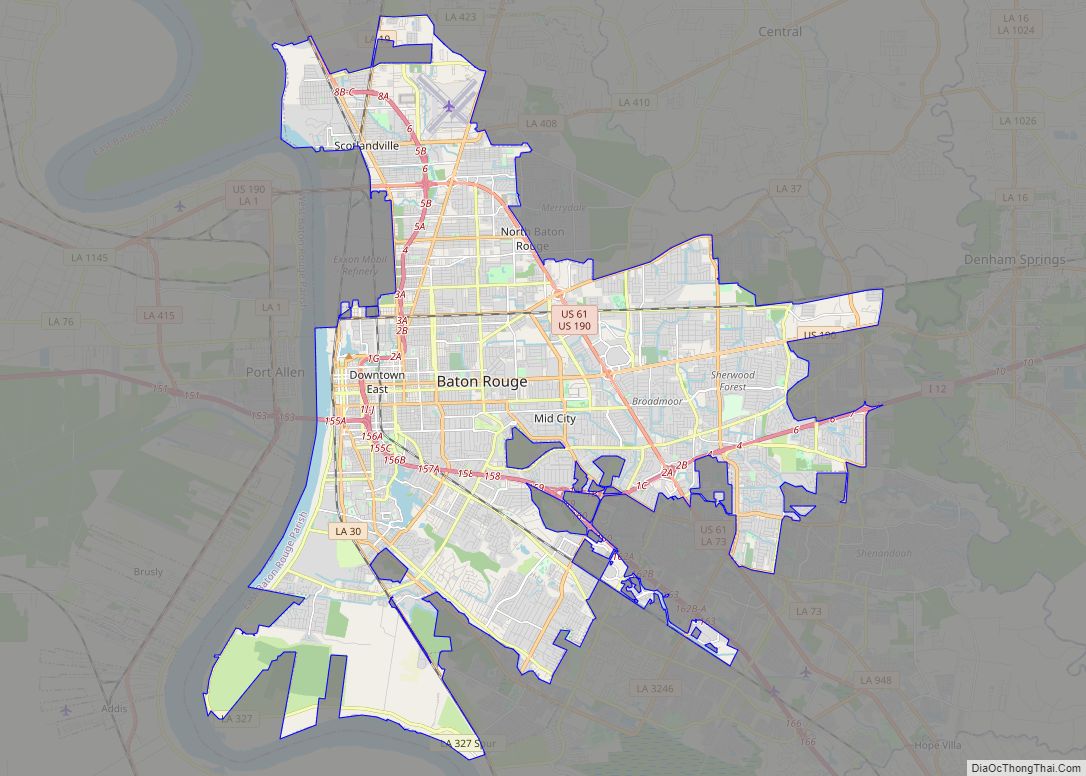
Baton Rouge Road Map
When you’re traveling or just want to learn more about the city, this map will give you a quick overview of Baton Rouge. The city is situated on the eastern bank of the Mississippi River and straddles I-110 and I-12, which connect to one another across the river. This map is the perfect tool for anyone who needs to know where they are or to find a new place to explore. The major interstates in the city are I-10, I-12, and I-110. Other US highways and major roads include 19, 30, 37, 61, 67, 73, 190, 327, 408, 423, 427, 991, 1068, 3064, Airline Hwy, Scenic Hwy, 3rd St, Acadian Thwy, Chippewa St, Drusilla Ln, Essen Ln, Florida Blvd, Florida St, Foster Dr, Government St, Greenwell Springs Rd, Harding Blvd, Hooper Rd, Jefferson Hwy, Joor Rd, Nicholson Dr, Park Blvd, Perkins Rd, Plank Rd, River Rd, Riverside St, Saint Louis St, Scotland Ave, South Blvd, Terrace Ave, Thomas Rd, and Veterans Memorial Blvd. If you plan on exploring beyond Baton Rouge, make sure to take a look at our Louisiana map for statewide highways and roads.
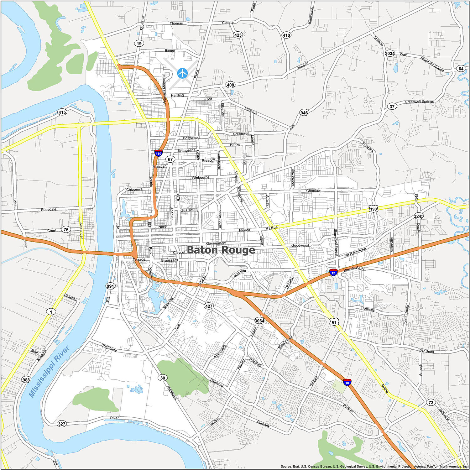
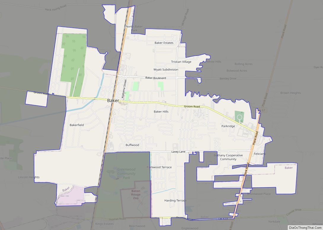
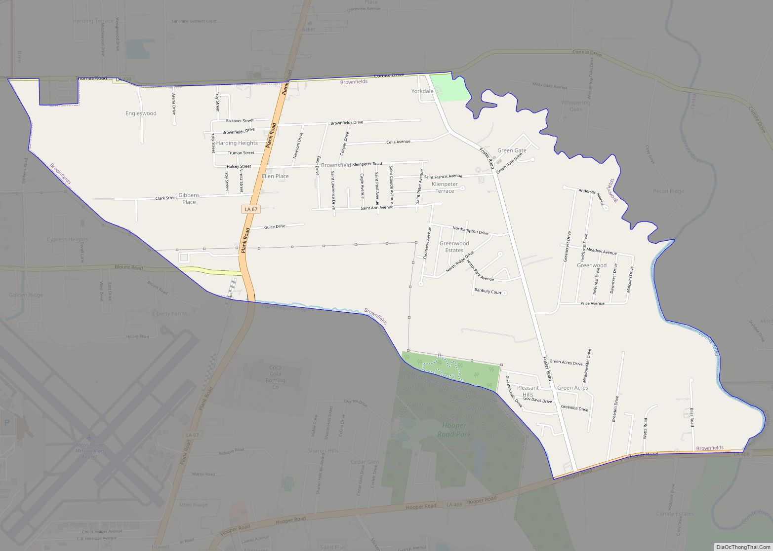
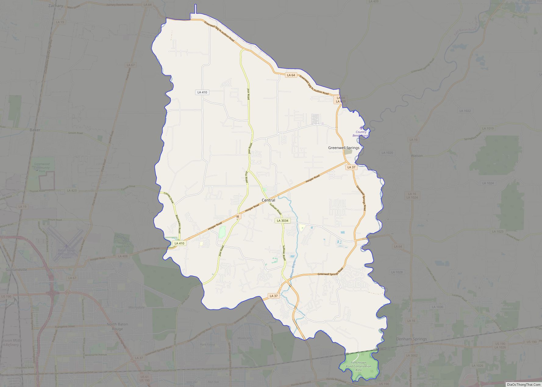
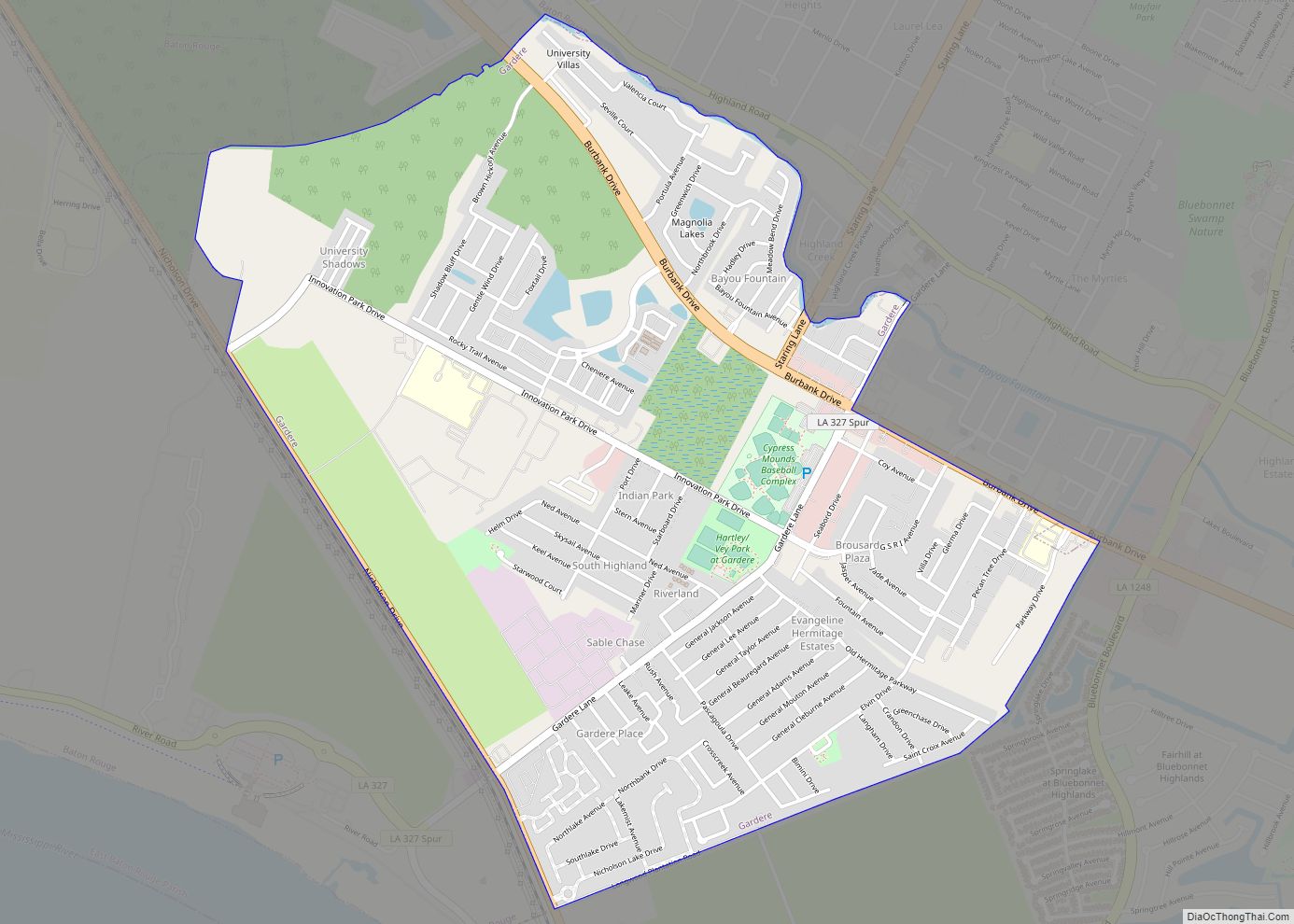
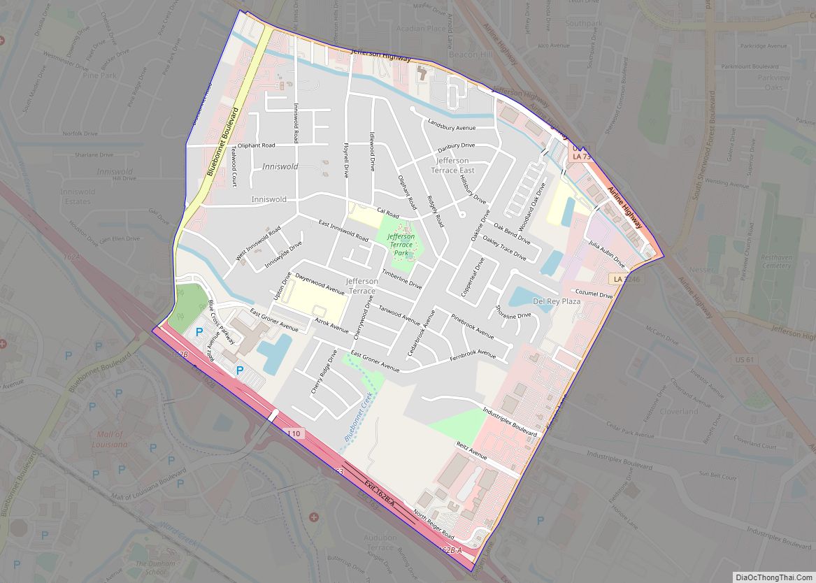
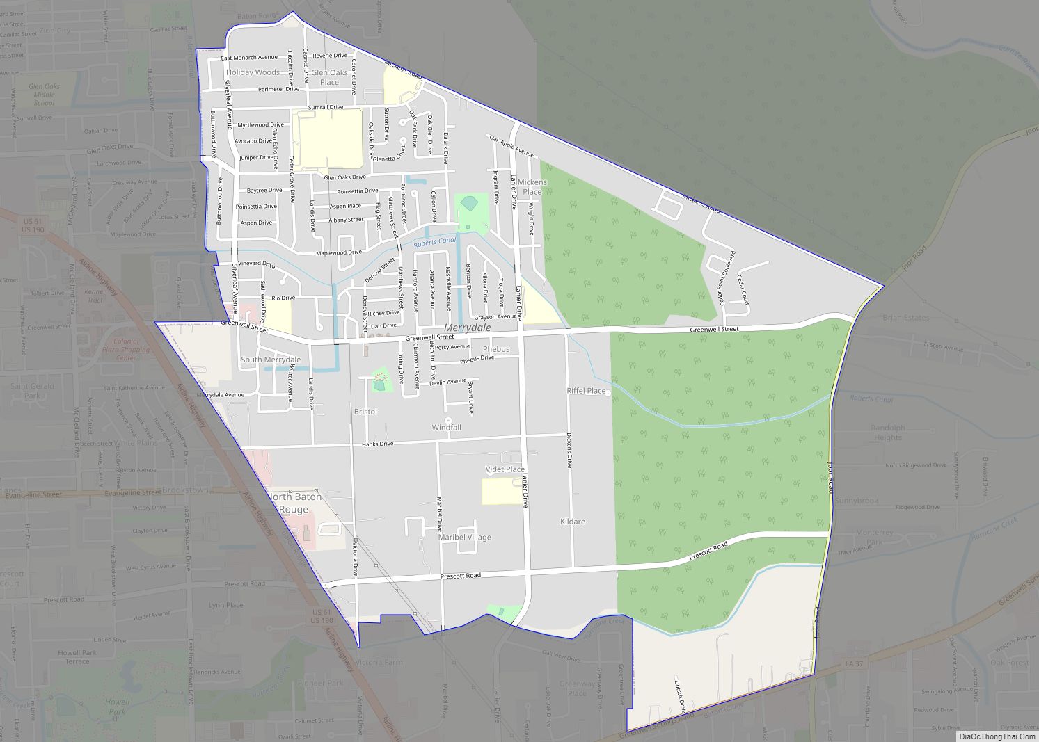
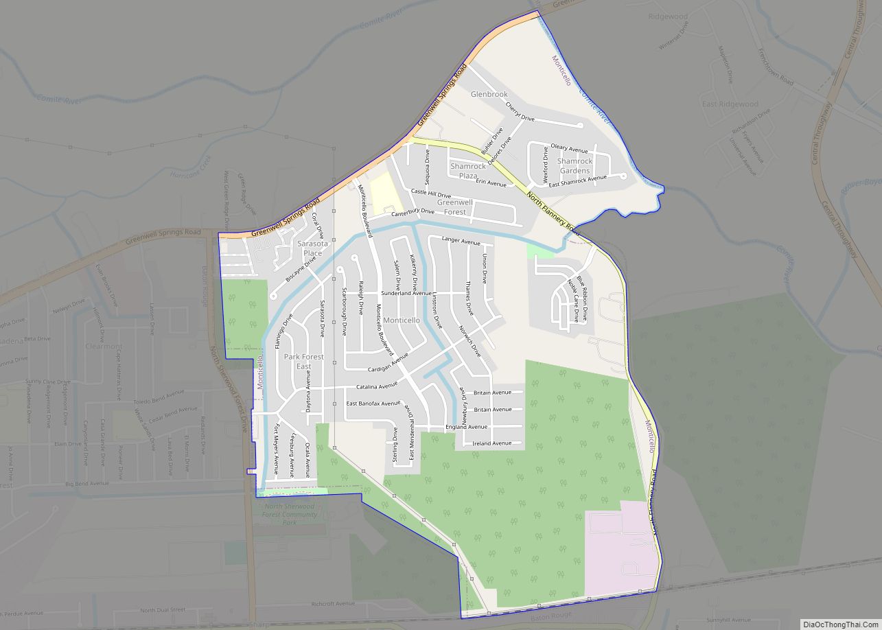
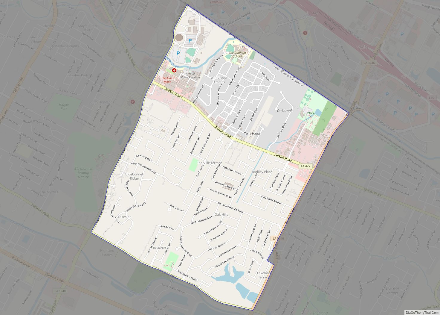
Baton Rouge is the second-largest metropolitan area in Louisiana. Home to expansive neighborhoods such as Highland Road and Old North Baton Rouge, known for its large community gardens, the city offers a variety of popular destinations. Baton Rouge Metropolitan Airport (BTR) serves the city and its surrounding towns and cities including Baker, Central, Denham Springs, Port Allen, Addis, Brusly, Brownfields, Gardere, Inniswold, Merrydale, Monticello, Oak Hills Place, Old Jefferson, Prairieville, Shenandoah, Village St. George and Westminster.
10 things to do in Baton Rouge city
Baton Rouge offers a wide range of attractions including museums, food and drink, shopping, nightlife, and more. With cultural festivals throughout the year, it’s no wonder that so many people flock to this city for their next vacation. Explore all of the interesting places in Baton Rouge, Louisiana with this landmarks map.
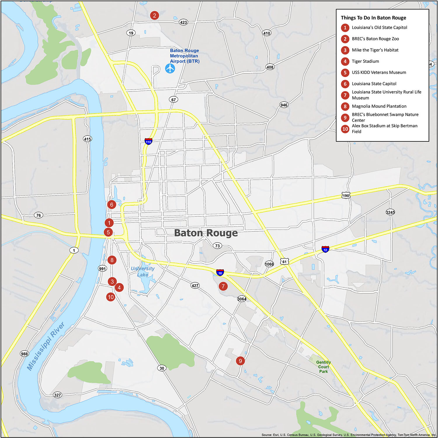
Top Attractions in Baton Rouge
- Louisiana’s Old State Capitol
- BREC’s Baton Rouge Zoo
- Mike the Tiger’s Habitat
- Tiger Stadium
- USS KIDD Veterans Museum
- Louisiana State Capitol
- Louisiana State University Rural Life Museum
- Magnolia Mound Plantation
- BREC’s Bluebonnet Swamp Nature Center
- Alex Box Stadium at Skip Bertman Field
Baton Rouge is a great place for your next vacation. With its diverse culture and great food, you’ll find plenty of attractions to explore during your stay. From museums to outdoor activities, there are plenty of interesting places to visit in Baton Rouge. Take a look at our landmarks map to explore all of the amazing places Baton Rouge has to offer.
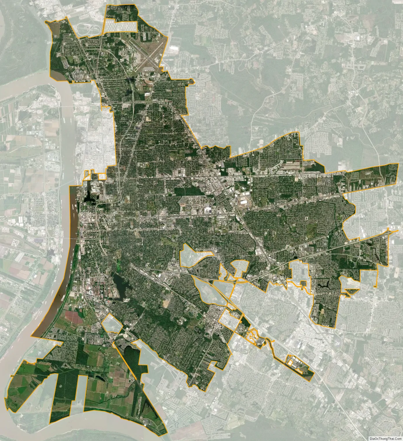
Baton Rouge city Satellite Map
Geography
The city of Baton Rouge lies on the banks of the Mississippi River in southeastern Louisiana’s Florida Parishes region. The city is about 79 miles (127 km) from New Orleans, 126 miles (203 km) from Alexandria, 56 miles (90 km) from Lafayette and 250 miles (400 km) from Shreveport. It is also 173 miles (278 km) from Jackson, Mississippi and 272 miles (438 km) from Houston, Texas. Baton Rouge lies on a low elevation of 56 to a little over 62 feet above sea level.
Baton Rouge is the capital of Louisiana and the parish seat of East Baton Rouge Parish. According to the United States Census Bureau, the city has an area of 79.15 square miles (205.0 km), of which 76.95 square miles (199.3 km) are land and 2.2 square miles (5.7 km) (2.81%) are covered by water. The city is on the first set of bluffs north of the Mississippi River Delta’s coastal plains. Because of its prominent location along the river and on the bluffs, which prevents flooding, the French built a fort in the city in 1719. Baton Rouge is the third-southernmost capital city in the continental United States, after Austin, Texas, and Tallahassee, Florida. It is the cultural and economic center of the Greater Baton Rouge metropolitan area.
Climate
Baton Rouge has a humid subtropical climate (Köppen Cfa), with mild winters, hot and humid summers, moderate to heavy rainfall, and the possibility of damaging winds and tornadoes yearlong. The area’s average precipitation is 61.94 inches (141.1 cm) of rain and 0.1 inches (0.25 cm) of snow annually. With ample precipitation, Baton Rouge is fifth on the list of wettest cities in the United States. Snow in the Baton Rouge area is usually rare, although it snowed in three consecutive years at the first decade of the 21st century: December 11, 2008, December 4, 2009, and February 12, 2010; in 2017, Baton Rouge received snow again. The yearly average temperature for Baton Rouge is 68.4 °F (20.2 °C) while the average temperature for January is 51.7 °F (10.9 °C) and July is 83.0 °F (28.3 °C). The area is usually free from extremes in temperature, with some cold winter fronts, but those are usually brief.
Baton Rouge’s proximity to the Gulf of Mexico exposes the city and metropolitan area to hurricanes. On September 1, 2008, Hurricane Gustav struck the city and became the worst hurricane ever to hit the Baton Rouge area. Winds topped 100 miles per hour (160 km/h), knocking down trees and powerlines and making roads impassable. The roofs of many buildings suffered tree damage, especially in the Highland Road, Garden District, and Goodwood areas. The city was shut down for five days and a curfew was put in effect. Rooftop shingles were ripped off, signs blew down, and minor structural damage occurred.
See also
Map of Louisiana State and its subdivision:- Acadia
- Allen
- Ascension
- Assumption
- Avoyelles
- Beauregard
- Bienville
- Bossier
- Caddo
- Calcasieu
- Caldwell
- Cameron
- Catahoula
- Claiborne
- Concordia
- De Soto
- East Baton Rouge
- East Carroll
- East Feliciana
- Evangeline
- Franklin
- Grant
- Iberia
- Iberville
- Jackson
- Jefferson
- Jefferson Davis
- La Salle
- Lafayette
- Lafourche
- Lincoln
- Livingston
- Madison
- Morehouse
- Natchitoches
- Orleans
- Ouachita
- Plaquemines
- Pointe Coupee
- Rapides
- Red River
- Richland
- Sabine
- Saint Bernard
- Saint Charles
- Saint Helena
- Saint James
- Saint John the Baptist
- Saint Landry
- Saint Martin
- Saint Mary
- Saint Tammany
- Tangipahoa
- Tensas
- Terrebonne
- Union
- Vermilion
- Vernon
- Washington
- Webster
- West Baton Rouge
- West Carroll
- West Feliciana
- Winn
- Alabama
- Alaska
- Arizona
- Arkansas
- California
- Colorado
- Connecticut
- Delaware
- District of Columbia
- Florida
- Georgia
- Hawaii
- Idaho
- Illinois
- Indiana
- Iowa
- Kansas
- Kentucky
- Louisiana
- Maine
- Maryland
- Massachusetts
- Michigan
- Minnesota
- Mississippi
- Missouri
- Montana
- Nebraska
- Nevada
- New Hampshire
- New Jersey
- New Mexico
- New York
- North Carolina
- North Dakota
- Ohio
- Oklahoma
- Oregon
- Pennsylvania
- Rhode Island
- South Carolina
- South Dakota
- Tennessee
- Texas
- Utah
- Vermont
- Virginia
- Washington
- West Virginia
- Wisconsin
- Wyoming