| Name: | Eastland County |
|---|---|
| FIPS code: | 48-133 |
| State: | Texas |
| Founded: | 1873 |
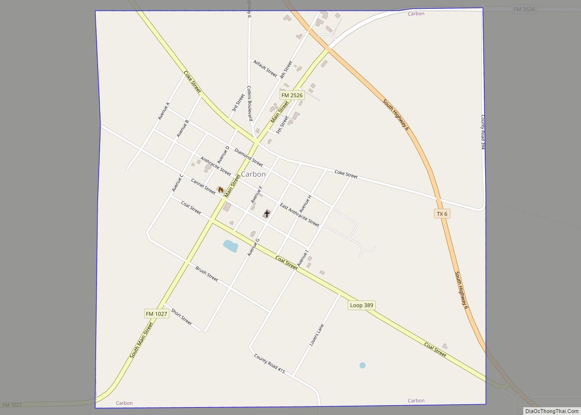
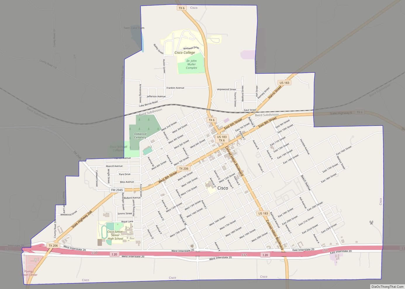
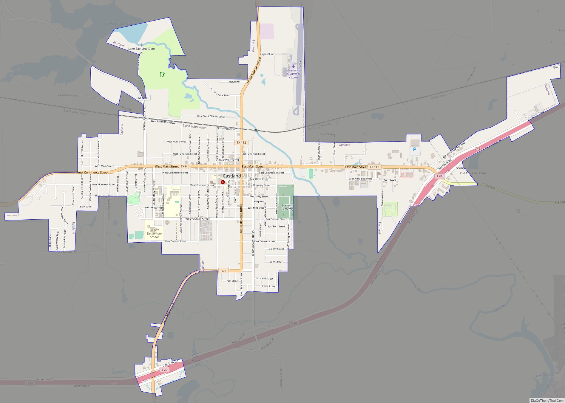
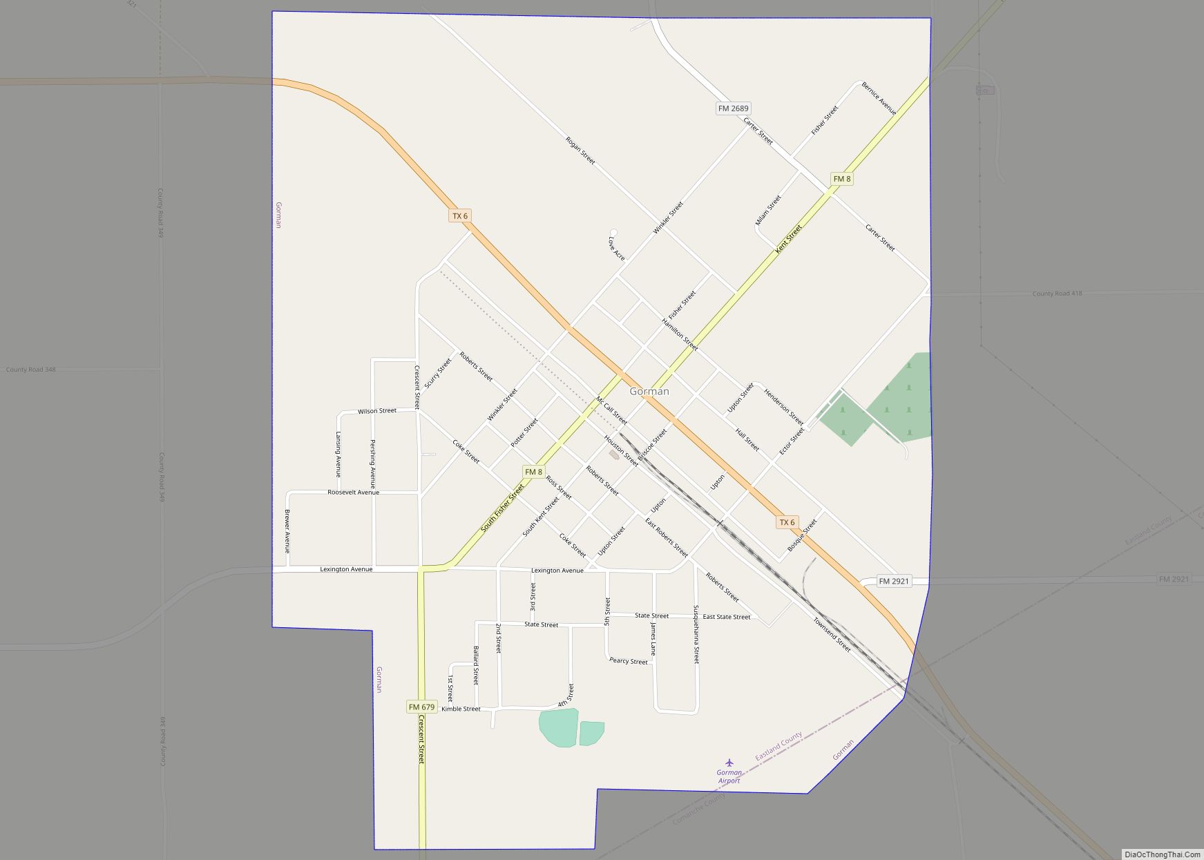
| Seat: | Eastland |
| Largest city: | Eastland |
| Total Area: | 932 sq mi (2,410 km²) |
| Land Area: | 926 sq mi (2,400 km²) |
| Total Population: | 17,725 |
| Population Density: | 19/sq mi (7.3/km²) |
| Time zone: | UTC−6 (Central) |
| Summer Time Zone (DST): | UTC−5 (CDT) |
| Website: | www.eastlandcountytexas.com |
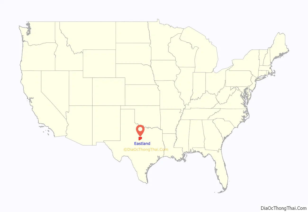
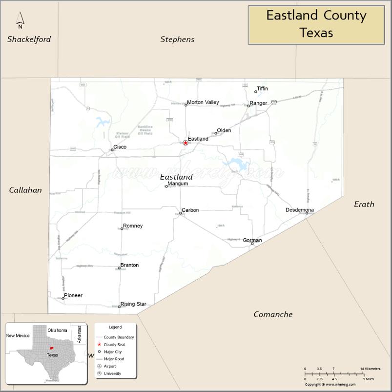
Eastland County location map. Where is Eastland County?
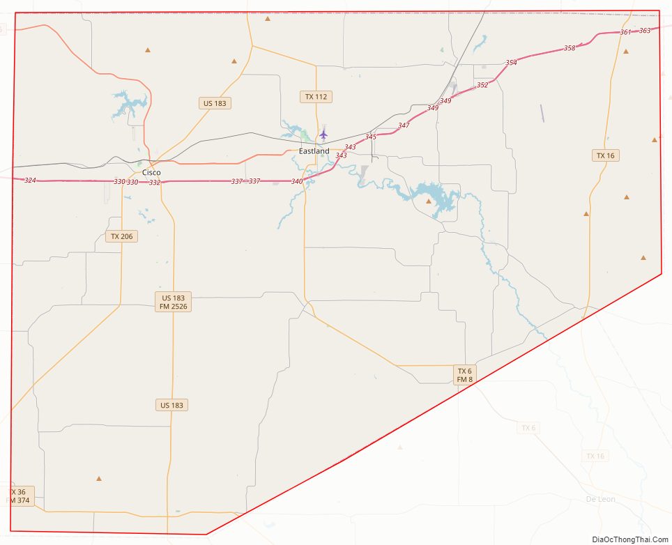
Eastland County Road Map
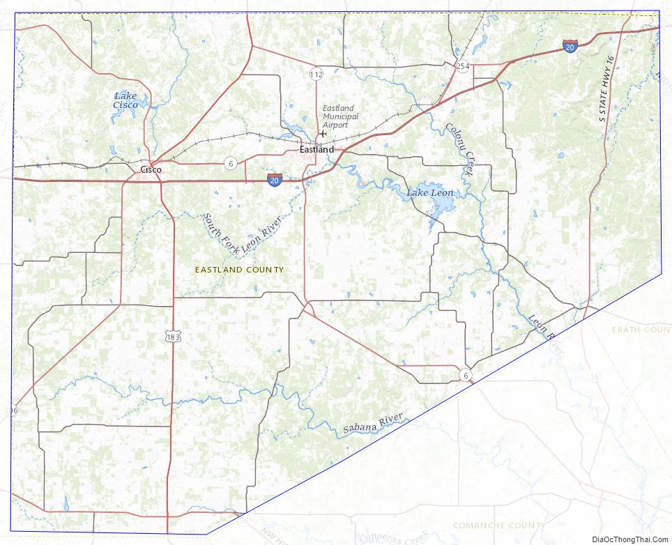
Geography
According to the U.S. Census Bureau, the county has a total area of 932 sq mi (2,410 km), of which 5.4 sq mi (14 km) (0.6%) are covered by water.
Major highways
- Interstate 20
- U.S. Highway 183
- State Highway 6
- State Highway 16
- State Highway 36
- State Highway 112
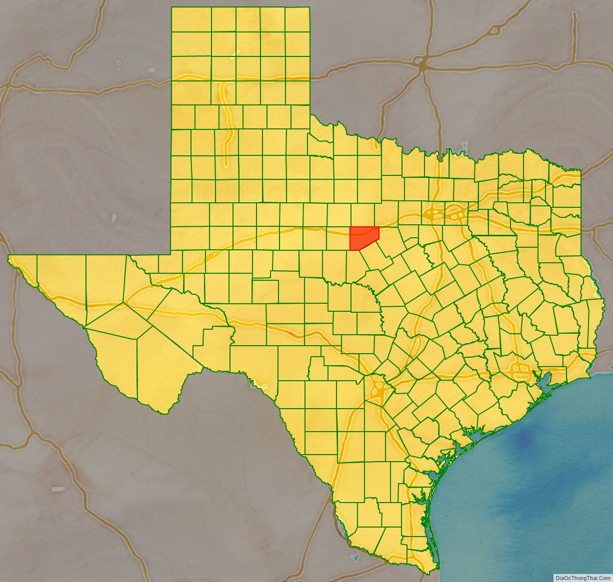
Adjacent counties
- Stephens County (north)
- Palo Pinto County (northeast)
- Erath County (east)
- Comanche County (southeast)
- Brown County (south)
- Callahan County (west)
- Shackelford County (northwest)
Eastland County Topographic Map
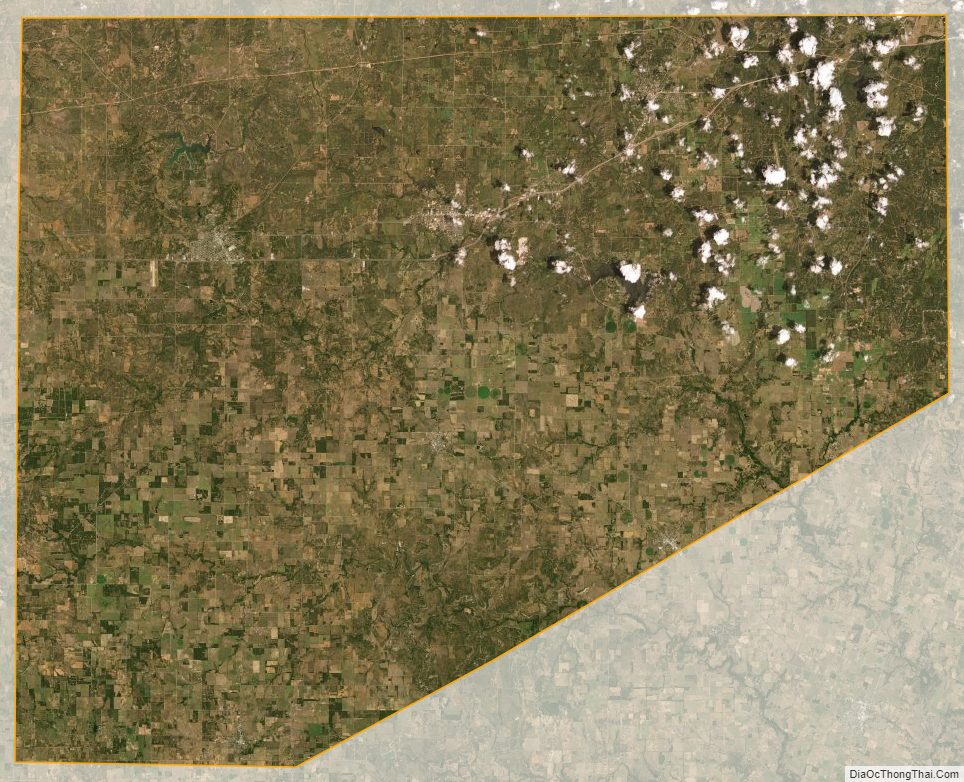
Eastland County Satellite Map
Eastland County Outline Map