Comanche County is a county located on the Edwards Plateau in Central Texas. As of the 2020 census, its population was 13,594. The county seat is Comanche. The county was founded in 1856 and is named for the Comanche Native American tribe.
| Name: | Comanche County |
|---|---|
| FIPS code: | 48-093 |
| State: | Texas |
| Founded: | 1856 |
| Named for: | Comanche tribe |
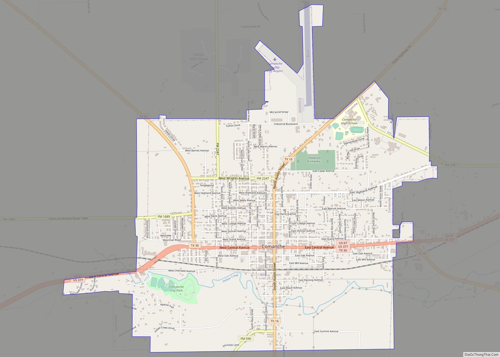
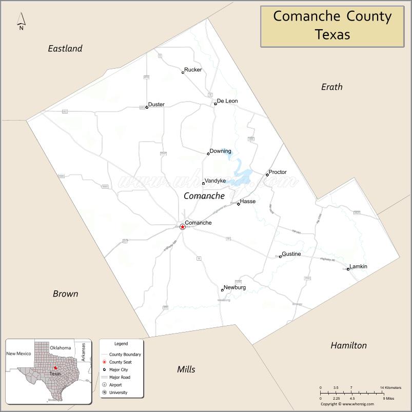
| Seat: | Comanche |
| Largest city: | Comanche |
| Total Area: | 948 sq mi (2,460 km²) |
| Land Area: | 938 sq mi (2,430 km²) |
| Total Population: | 13,594 |
| Population Density: | 14/sq mi (5.5/km²) |
| Time zone: | UTC−6 (Central) |
| Summer Time Zone (DST): | UTC−5 (CDT) |
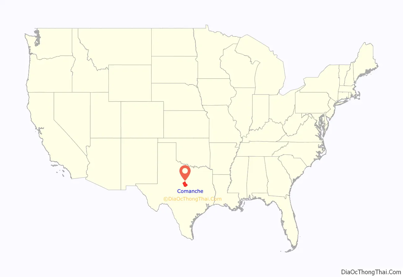
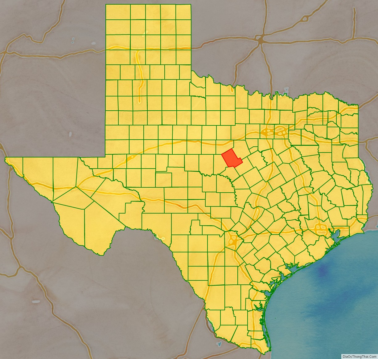
Comanche County location map. Where is Comanche County?
History
Among the first inhabitants of present-day Comanche County were the Comanche Indian tribe.
In 1854, Jesse M. Mercer and others organized a colony near the future settlement of Newburg. in Comanche County on lands earlier granted by Mexico to Stephen F. Austin and Samuel May Williams. Frank M. Collier built the first log house in the county.
In 1856, the Texas legislature formed Comanche County from Coryell and Bosque counties. Cora community, named after Cora Beeman of Bell County, was designated as the county seat. Comanche became the county seat in 1859. As of 1860, the county population was 709 persons, including 61 slaves.
The Comanche Chief began publication in 1873. Editor Joe Hill’s brother, Robert T. Hill, worked on the newspaper while developing his esteemed career as a geologist.
In 1874, John Wesley Hardin and his gang celebrated his 21st birthday in Brown and Comanche counties. Deputy Charles Webb drew his gun, provoking a gunfight that ended Webb’s life. A lynch mob was formed, but Hardin and his family were put into protective custody. The mob broke into the jail and hanged his brother Joe and two cousins. Hardin fled. He was arrested in 1877 by Texas Rangers and a local authority on a train in Pensacola, Florida, while traveling under the alias James W. Swain. He was tried in Comanche for the murder of Deputy Sheriff Charles Webb, and sentenced to 25 years in Huntsville Prison.
Known for its fertile soil, Comanche County was a hotbed of political populism in the latter years of the 19th century.
Expulsion of the African Americans
In 1886, “one of those too horribly frequent crimes was committed by an African American. He was quickly caught and was punished in accordance with the rules of the unwritten law.” Following this lynching, at a meeting of the white citizens “it was resolved to give every african American in the county one week’s notice to leave the county, and committees of men from different sections of the county were appointed to carry out the will of the white people.”
Comanche County was a sundown town, the only such county in the U.S. to formally take this action. According to a 1953 study, the county took pride in and publicized its all-white population.
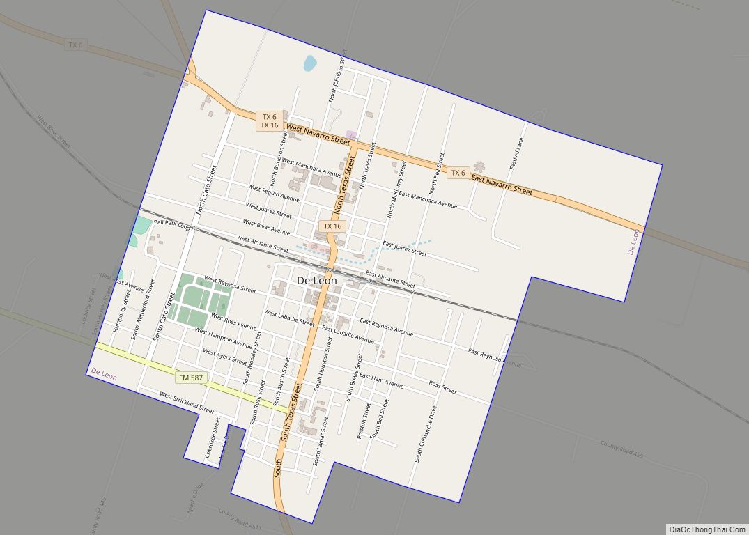
Black porters on the train would hide in the baggage car as trains passed through Comanche County. Because of the threats to its porters, the railroad asked that the sign be removed, and the town of De Leon moved it to the town well, “in the middle of Texas Avenue”. No report gives the date of the sign’s removal.
Arrival of the railroad
The Texas Central Railroad began service in Comanche County in 1885 and began carrying cattle and cotton to market. By 1890, cotton had become king in the county, but by the start of the 20th century, the boll weevil had devastated the county cotton industry for three decades. In 1907, farmers in the county began to experiment with peanut farming.
Oil was discovered at Desdemona in 1910. The peak year for the Comanche County oil boom was 1920.
In 1951–1952, a desperate, drought-stricken county experimented with rain making. Proctor Lake was impounded in 1963 to provide flood control and drinking water.
From 1968 to 1974, Comanche County native Jim Reese served as the mayor of Odessa, Texas. He launched unsuccessful congressional campaigns in the 1976 general election against the Democrat George H. Mahon and in the 1978 Republican primary against George W. Bush. During the 1970s, the oil industrialist Bill Noël of Odessa purchased orchards in Comanche County.
As of 1982, Comanche produced more than 45,546,000 pounds (20,659,000 kg) of peanuts, ranking second in Texas.
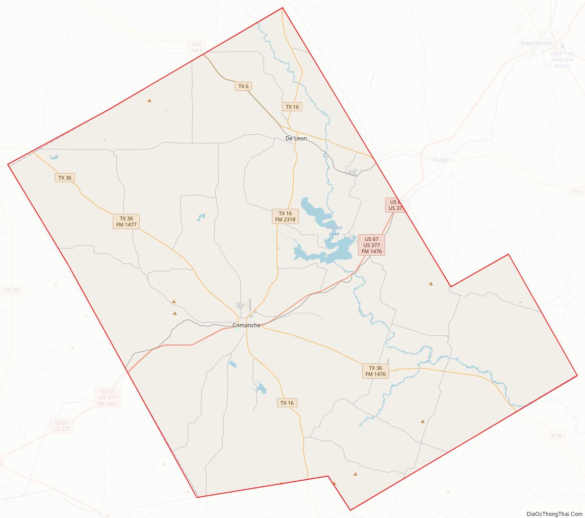
Comanche County Road Map
Geography
According to the U.S. Census Bureau, the county has a total area of 948 square miles (2,460 km), of which 9.9 square miles (26 km) (1.0%) are covered by water. The county is located some 60 miles north of the geographic center of Texas.
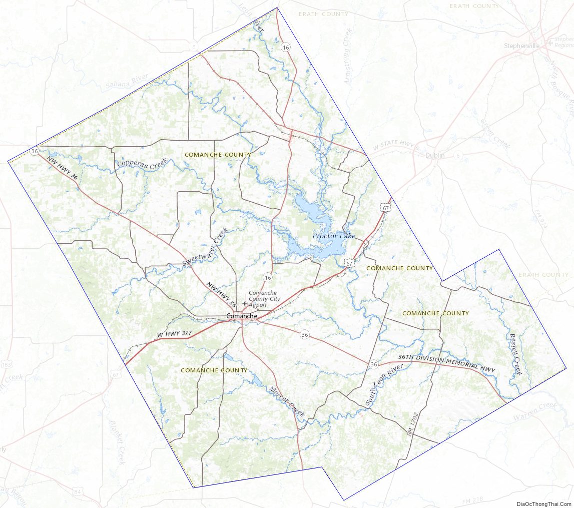
The county is home to Proctor Lake.
Adjacent counties
- Erath County (northeast)
- Hamilton County (southeast)
- Mills County (south)
- Brown County (southwest)
- Eastland County (northwest)
Comanche County Topographic Map
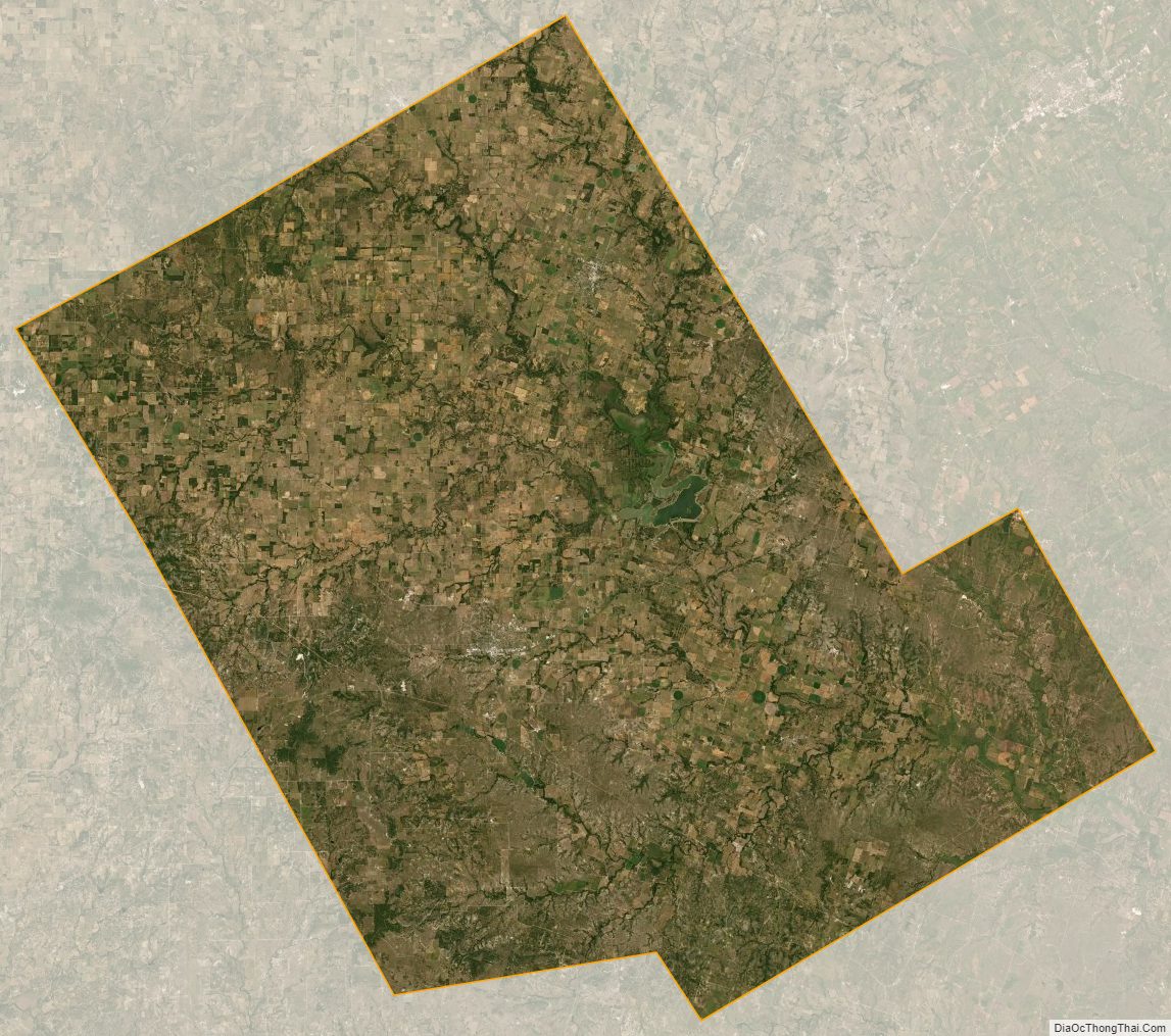
Comanche County Satellite Map
Comanche County Outline Map