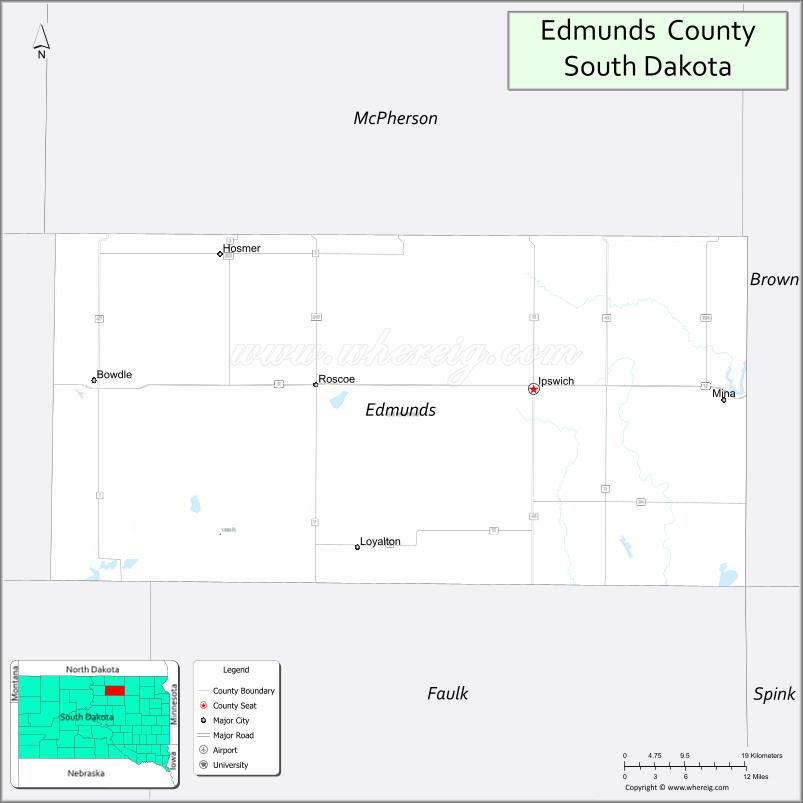
Edmunds County is a county in the U.S. state of South Dakota. At the 2020 census, the population was 3,986. Its county seat is Ipswich. The county was established in 1873 and organized in 1883. It is named for Newton Edmunds, the second Governor of Dakota Territory.
Edmunds County is part of the Aberdeen, SD Micropolitan Statistical Area.
| Name: | Edmunds County |
|---|---|
| FIPS code: | 46-045 |
| State: | South Dakota |
| Founded: | 1873 |
| Named for: | Newton Edmunds |
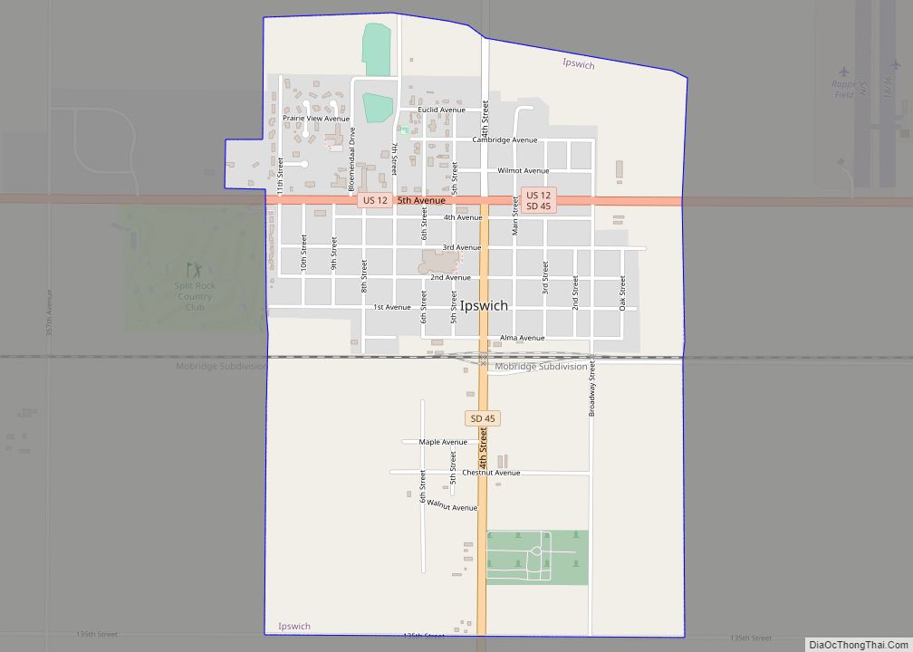
| Seat: | Ipswich |
| Largest city: | Ipswich |
| Total Area: | 1,151 sq mi (2,980 km²) |
| Land Area: | 1,126 sq mi (2,920 km²) |
| Total Population: | 3,986 |
| Population Density: | 3.5/sq mi (1.3/km²) |
| Time zone: | UTC−6 (Central) |
| Summer Time Zone (DST): | UTC−5 (CDT) |
| Website: | edmunds.sdcounties.org |
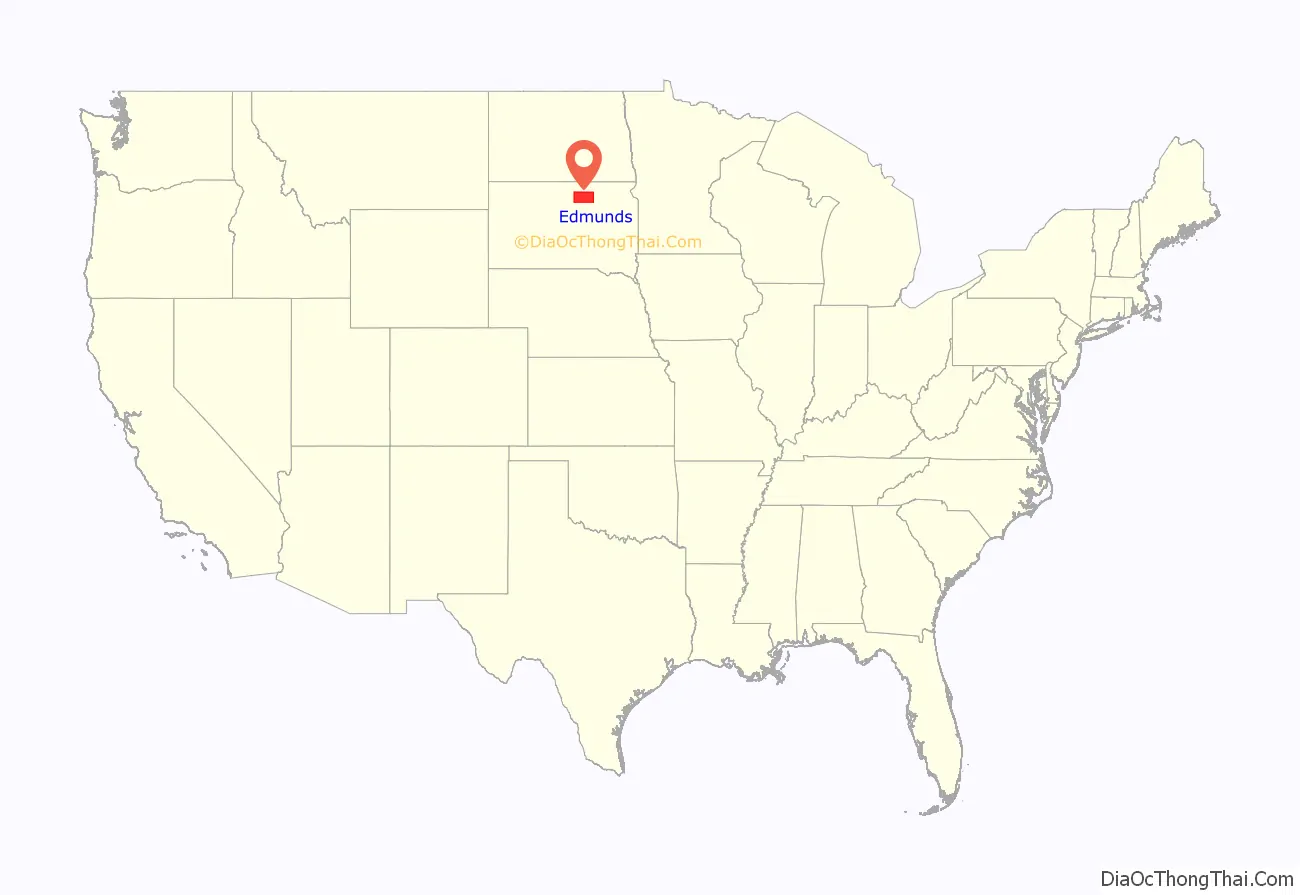
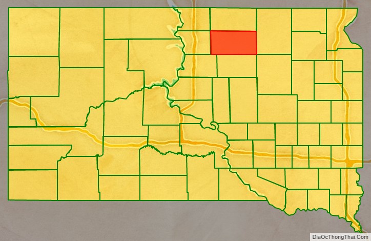
Edmunds County location map. Where is Edmunds County?
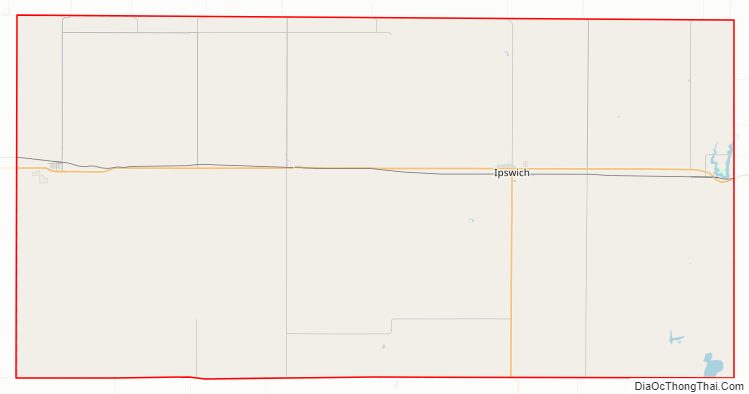
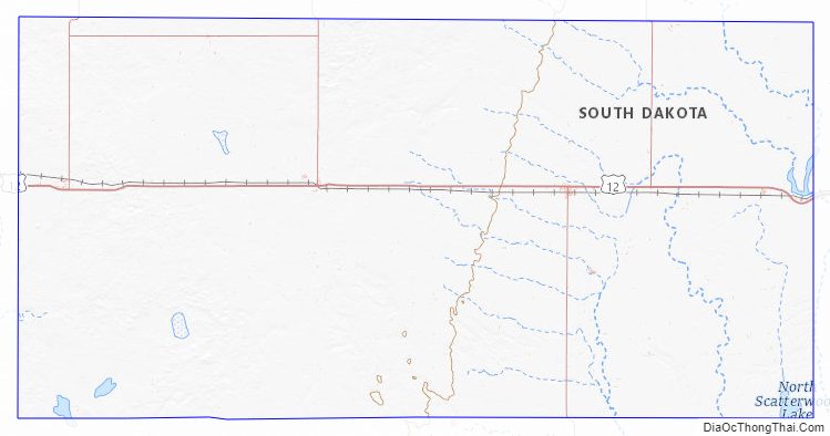
Edmunds County Road Map
Geography
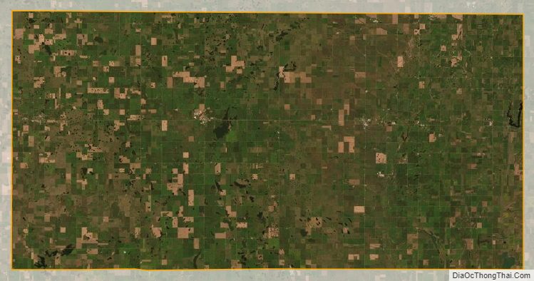
The terrain of Edmunds County consists of rolling hills, mostly dedicated to agriculture. The terrain’s highest point is on the west portion of the north boundary line, at 1,978′ (603m) ASL. The county has a total area of 1,151 square miles (2,980 km), of which 1,126 square miles (2,920 km) is land and 25 square miles (65 km) (2.2%) is water.
Major highways
- U.S. Highway 12
- South Dakota Highway 45
- South Dakota Highway 47
- South Dakota Highway 247
- South Dakota Highway 253
Adjacent counties
- McPherson County – north
- Brown County – east
- Faulk County – south
- Potter County – southwest
- Walworth County – west
Protected areas
- Bowdle-Hosmer State Game Production Area
- Heilman State Game Production Area
- Hosmer State Game Production Area
- Light State Game Production Area
- Losee State Game Production Area
- Mina Lake State Recreation Area
- Mina State Game Production Area
- North Scatterwood State Game Production Area
- Rosette State Game Production Area
- Schaber State Game Production Area
- Shaner State Game Production Area
- Steigelmier State Game Production Area
Lakes
- Alkali Lake
- Bowdle-Hosmer Lake
- Grass Lake
- Lake Parmley
- North Scatterwood Lake (partial)
Edmunds County Topographic Map
Edmunds County Satellite Map
Edmunds County Outline Map